 Block
From the record
16 National Register listings published here.
Sources: the National Register database, National Park Service
48 topographic sheets and 8 fire insurance atlases across 1 place.
16 National Register listings published here.
Sources: the National Register database, National Park Service
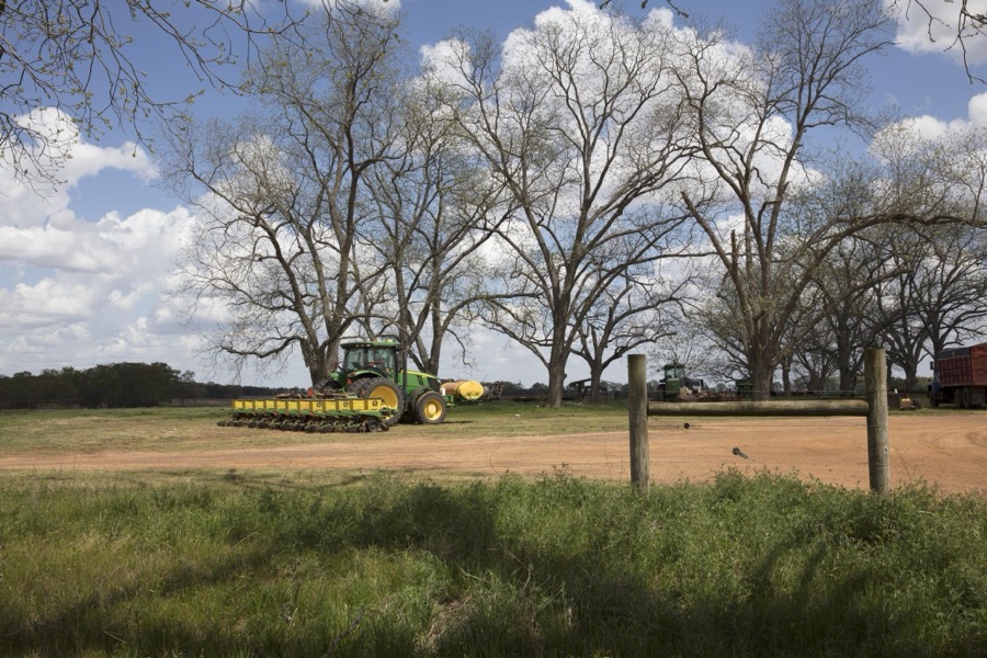
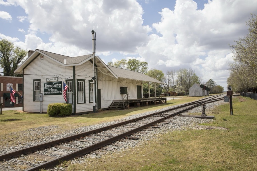
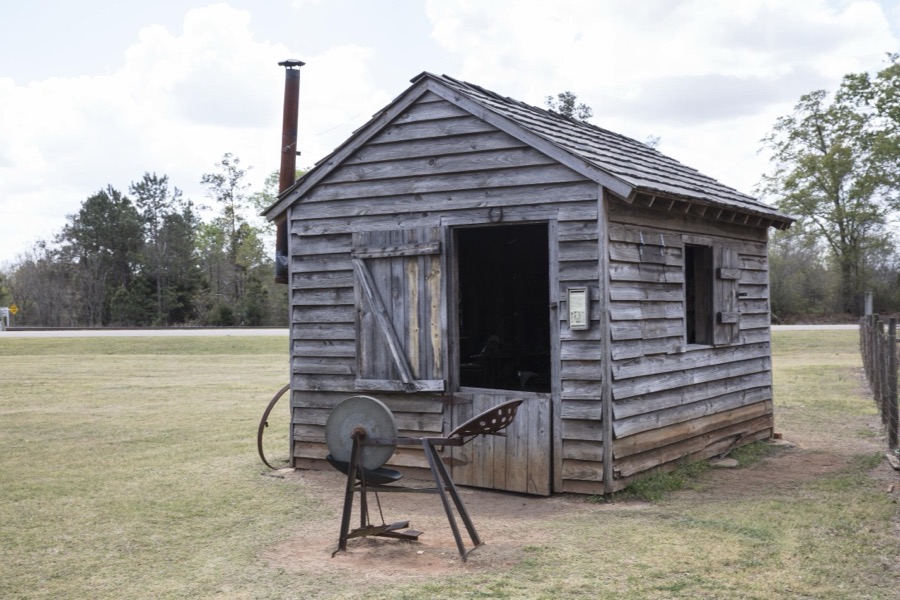
Taken for the Office of War Information and the Farm Security Administration, who photographed the country between 1935 and 1944. Works of United States government photographers, with no known restriction on use. Each opens its catalogue record.

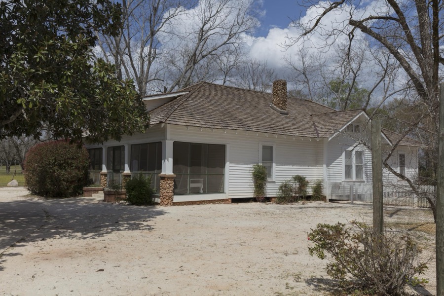


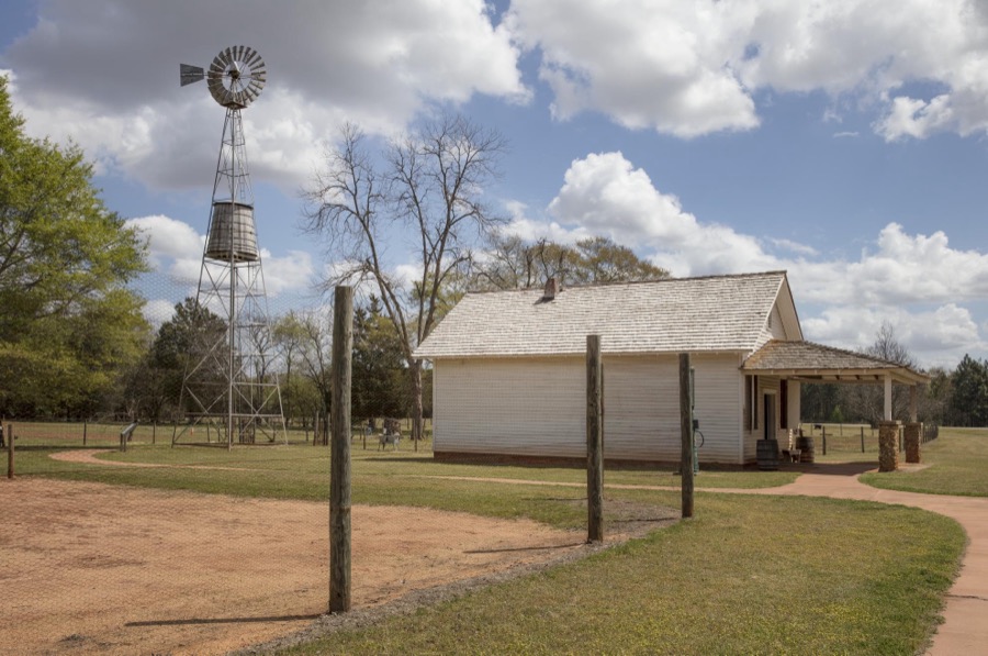



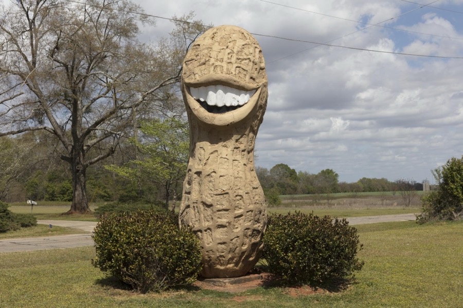


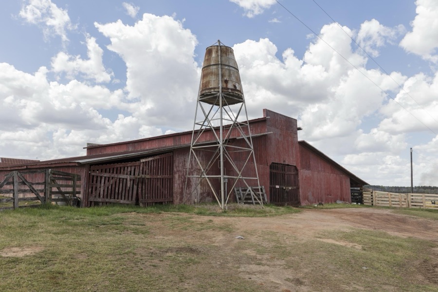























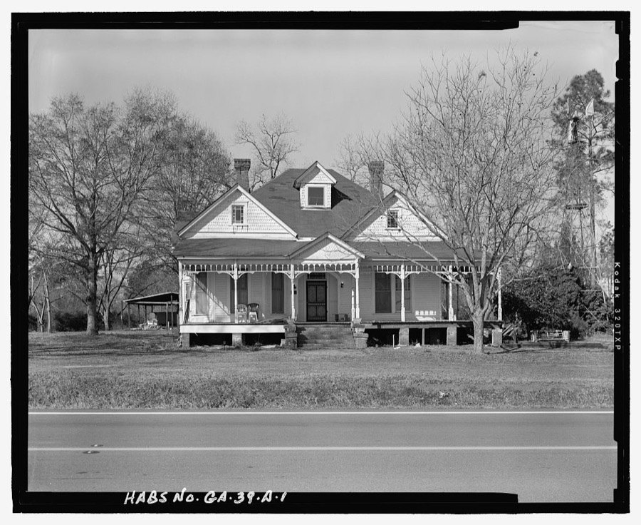
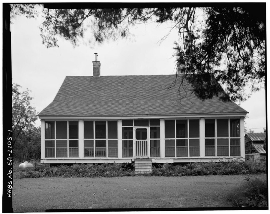
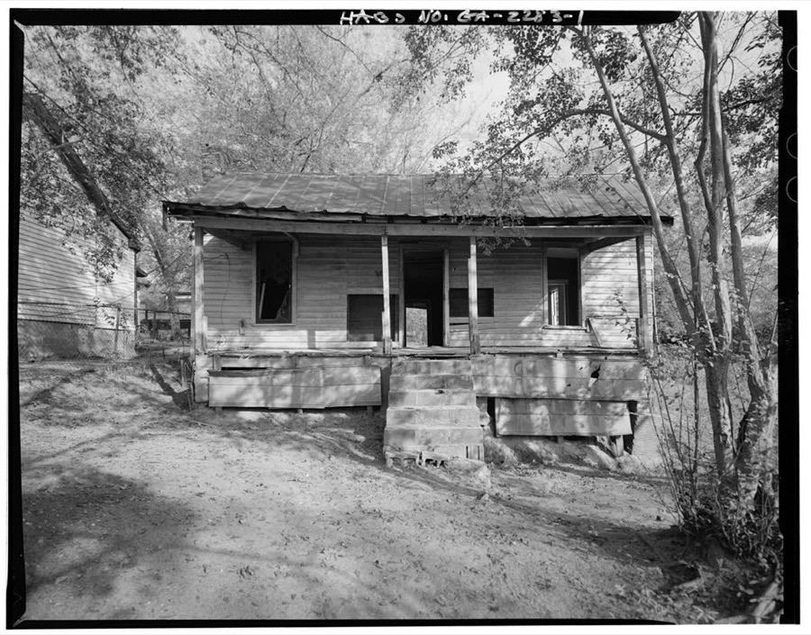
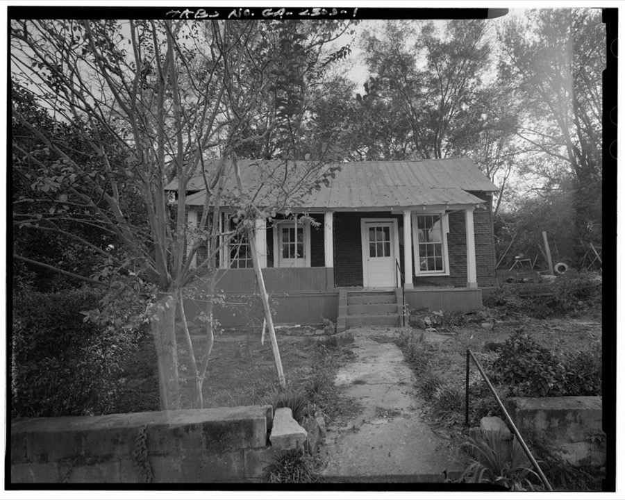

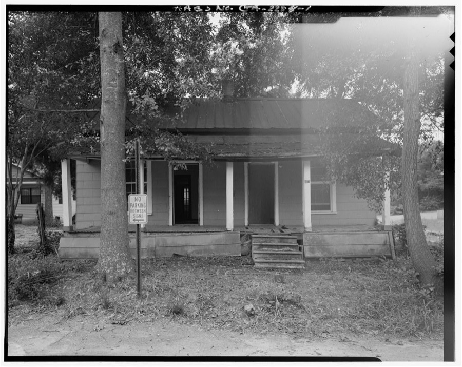
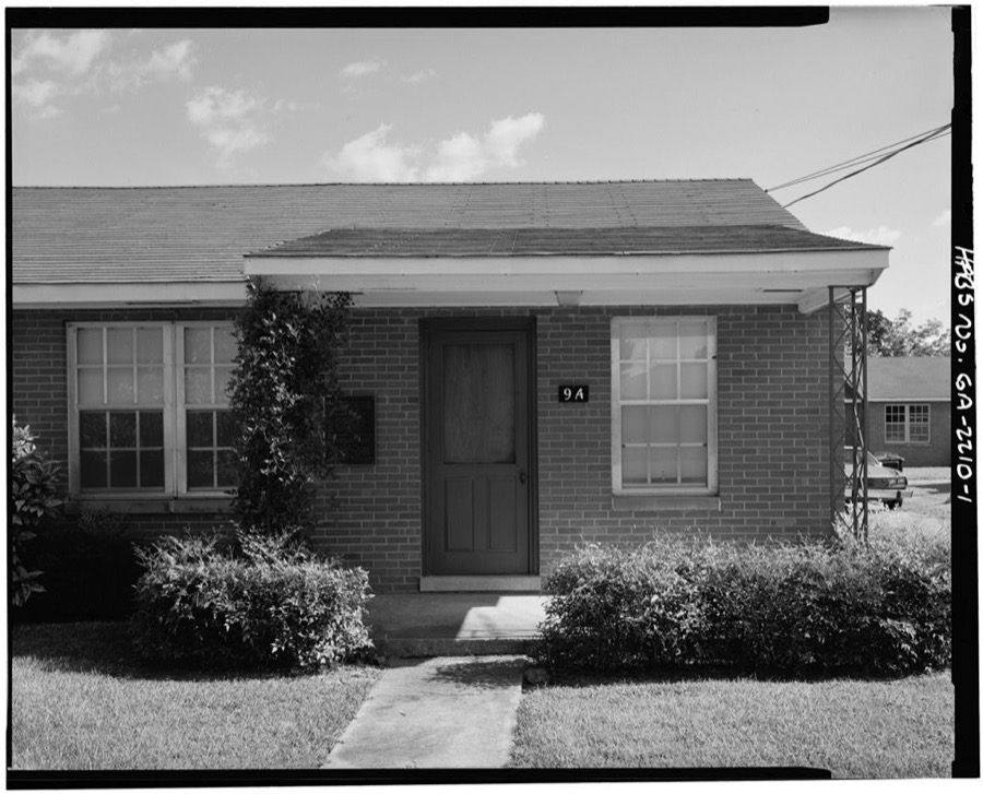
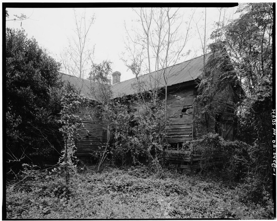
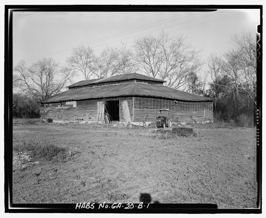
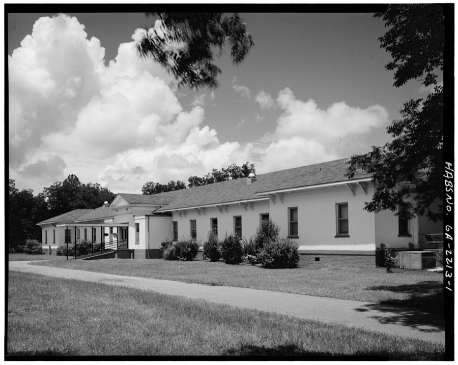
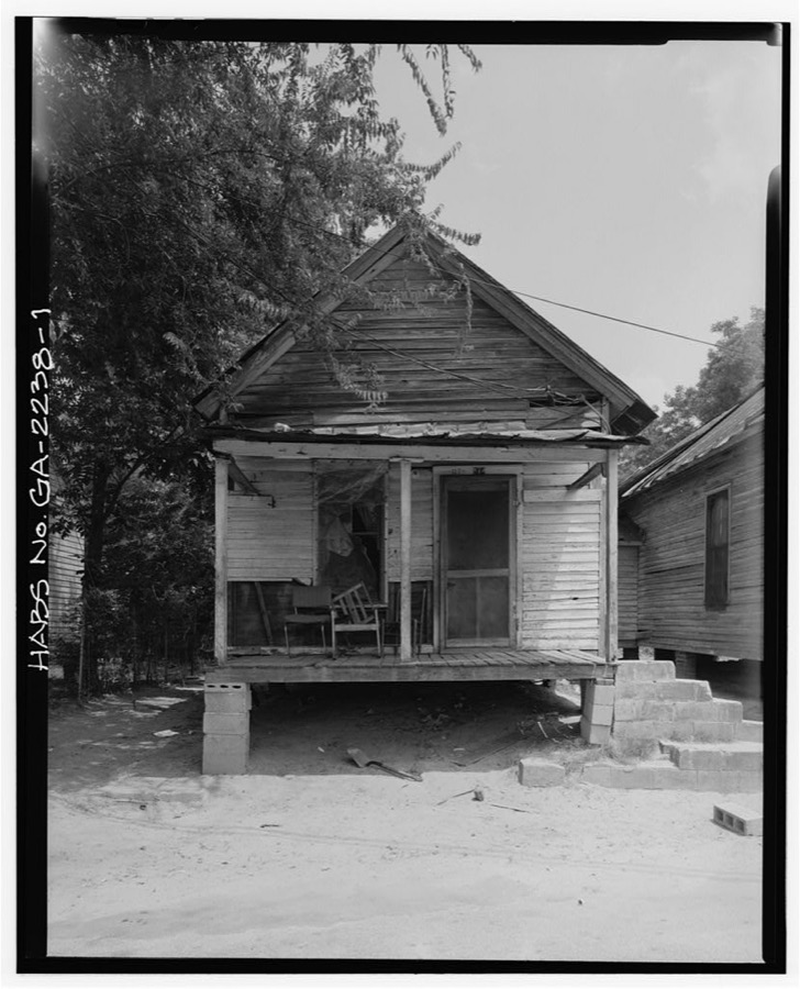
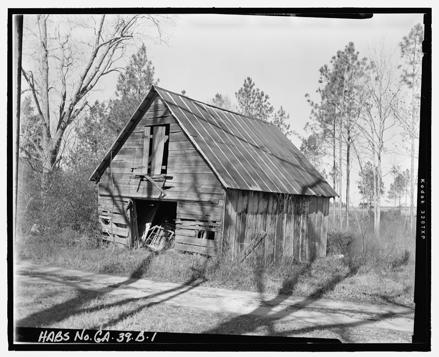
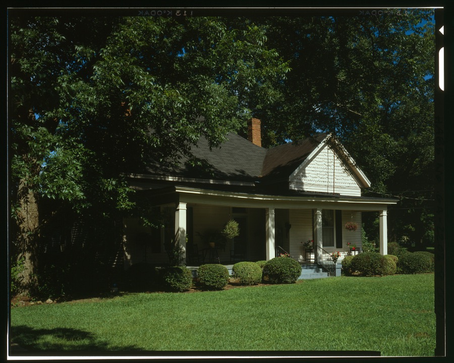
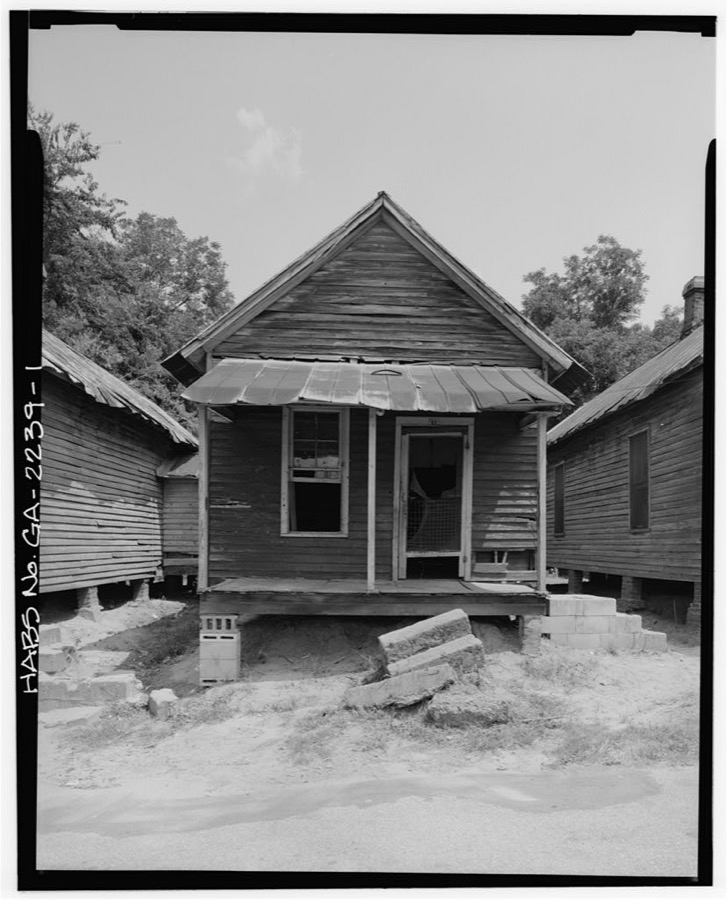
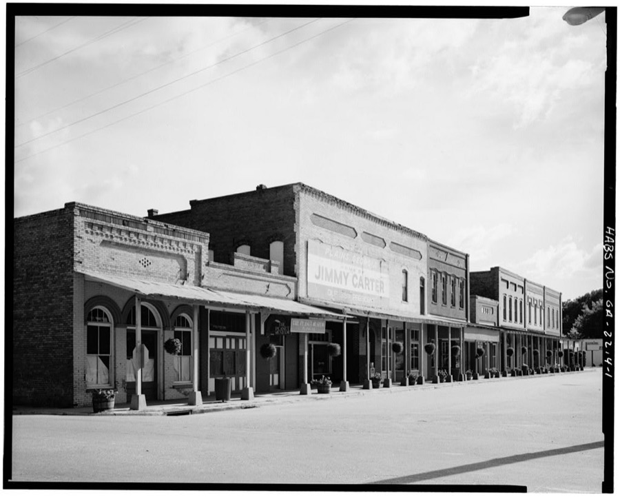
Every property in this county listed on the National Register of Historic Places, with the year it was listed and the federal nomination document.
| Photograph | Property | Type | Listed | Reference |
|---|---|---|---|---|
 | Americus Historic District | district | 1976 | 76000648 |
 | Americus Historic District (Boundary Increase) | district | 1979 | 79003319 |
| Ashby Street Shotgun Row Historic District | district | 1997 | 97000620 | |
 | Campbell Chapel AME Church | building | 1997 | 97001195 |
| Dismuke Storehouse | building | 1996 | 96000247 | |
| Guerry-Mitchell House | building | 1983 | 83000242 | |
 | Jimmy Carter National Historic Site | site | 1987 | 01000272 |
 | Liberty Hall | building | 1980 | 80001236 |
| Lustron House at 547 Oak Avenue | building | 1996 | 96000209 | |
| Newman McBain House | building | 1980 | 80001237 | |
| Morgan Farm | district | 1998 | 98000145 | |
| New Corinth Baptist Church | building | 1998 | 98000928 | |
| Plains Historic District | district | 1984 | 84001220 | |
| Teel-Crawford-Gaston Plantation | district | 2004 | 04001188 | |
| Third District A & M School-Georgia Southwestern College Historic District | district | 2007 | 07001002 | |
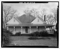 | Webb Family Farm | district | 1985 | 85001968 |
Sampled issues, machine-read from the Library of Congress scan and published page by page, so every headline and column is searchable text.
Americus, Ga.; [Americus, Ga.?], 1891 to Current. Machine-read from the Library of Congress scan.
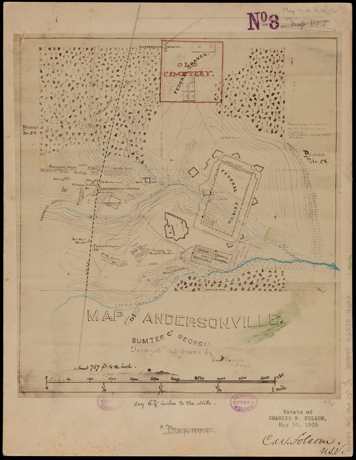
Selected from the Digital Public Library of America's 5 image records catalogued for this county. Every one shown here carries a public-domain status or a licence that permits reuse on a site that carries advertising; non-commercial, share-alike and restricted images are excluded. The selection is spread across the county's towns (at most eight per town), so no single institution's bulk upload crowds out the rest. Each opens the holding library's record, and the complete set at the Digital Public Library of America is one click away.
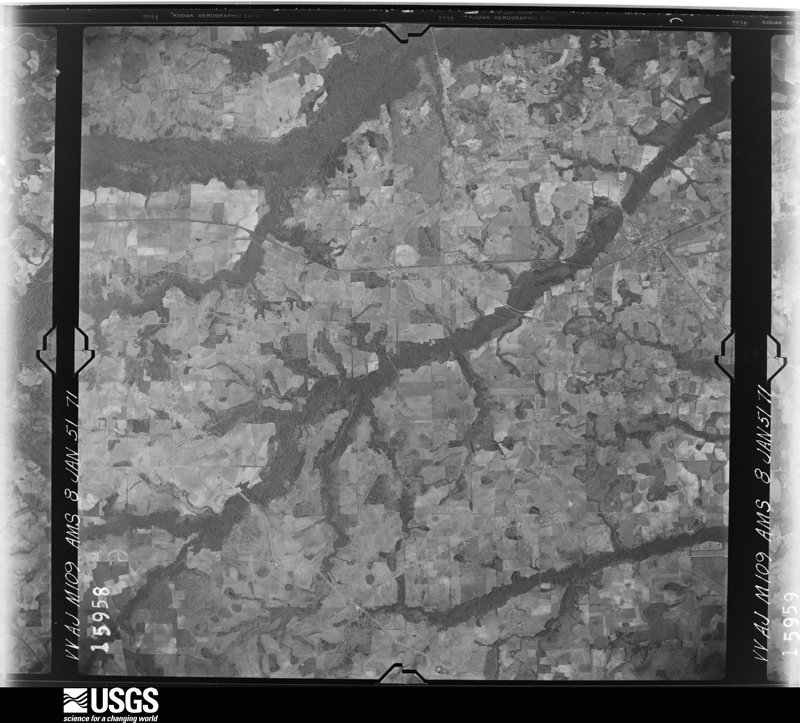
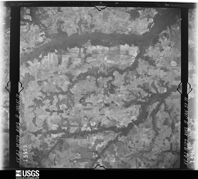
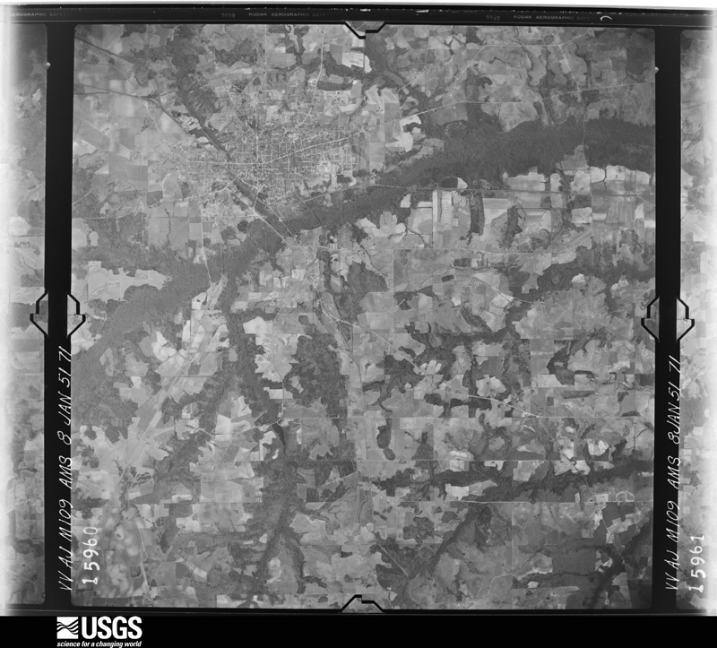
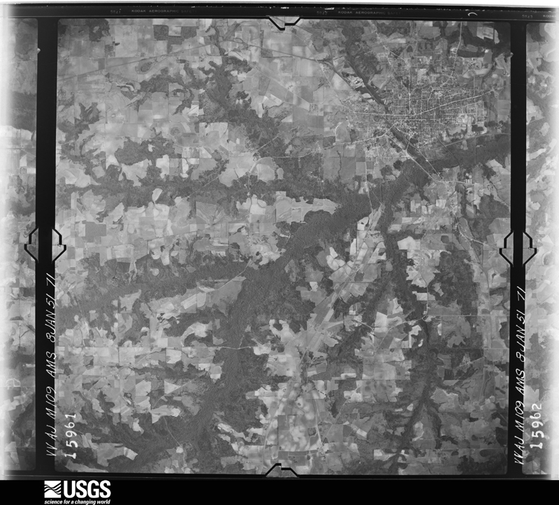
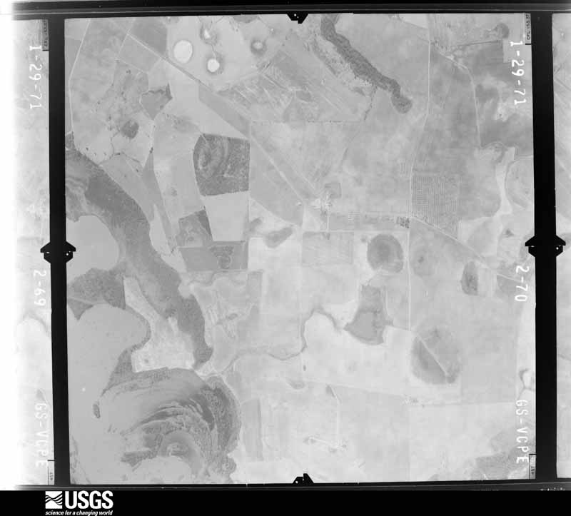
Flown by the U.S. Geological Survey between 1937 and 1989, the Aerial Photo Single Frames collection is the definitive mid-century view of the land: fields, roads and rivers as the camera saw them. The Survey holds 661 frames inside the rectangle that bounds this county; the 15 frames below were taken over the county itself, chosen across the decades of flights (at most four a year from that rectangle), so one flight cannot crowd out the rest. The full set is free to browse and download at EarthExplorer under the dataset Aerial Photo Single Frames.




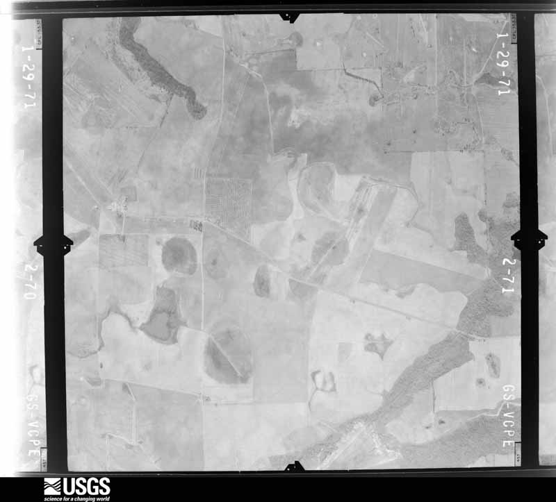
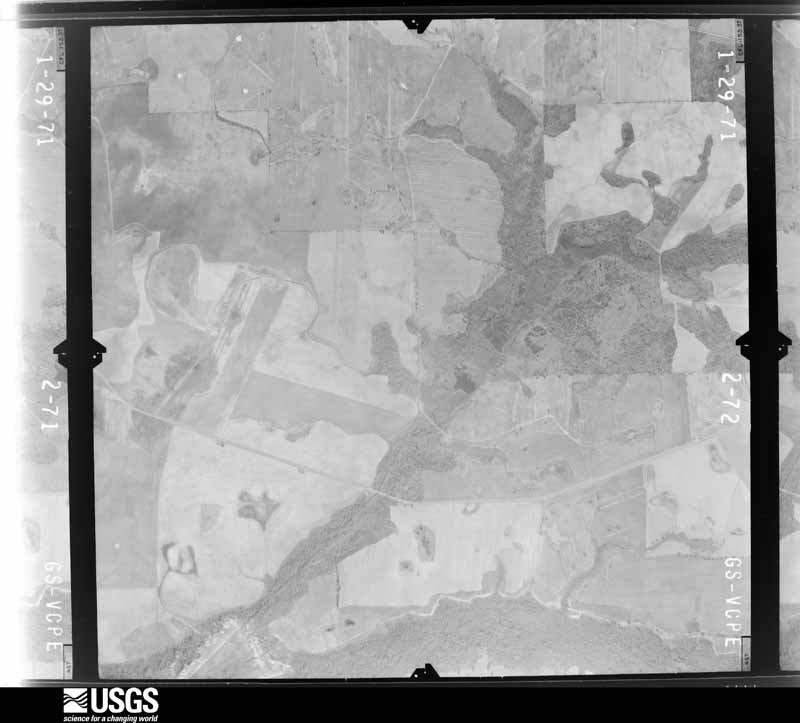
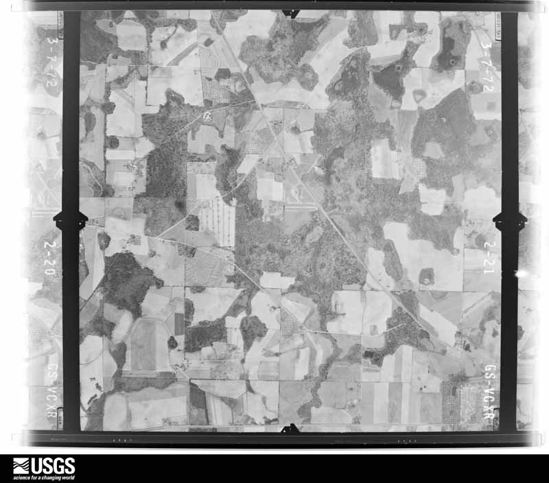
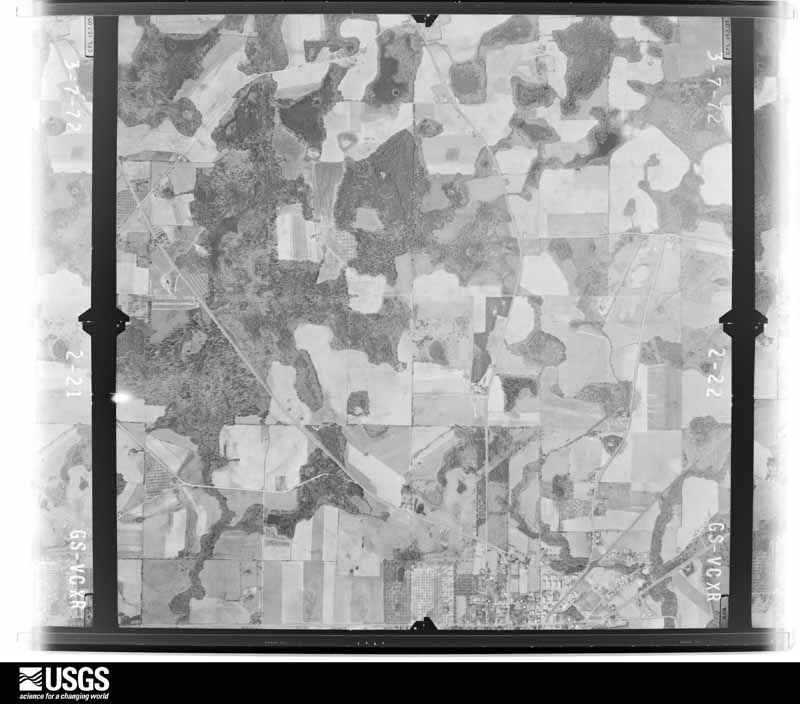
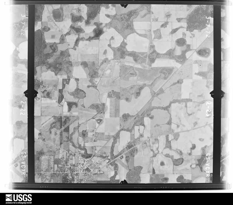
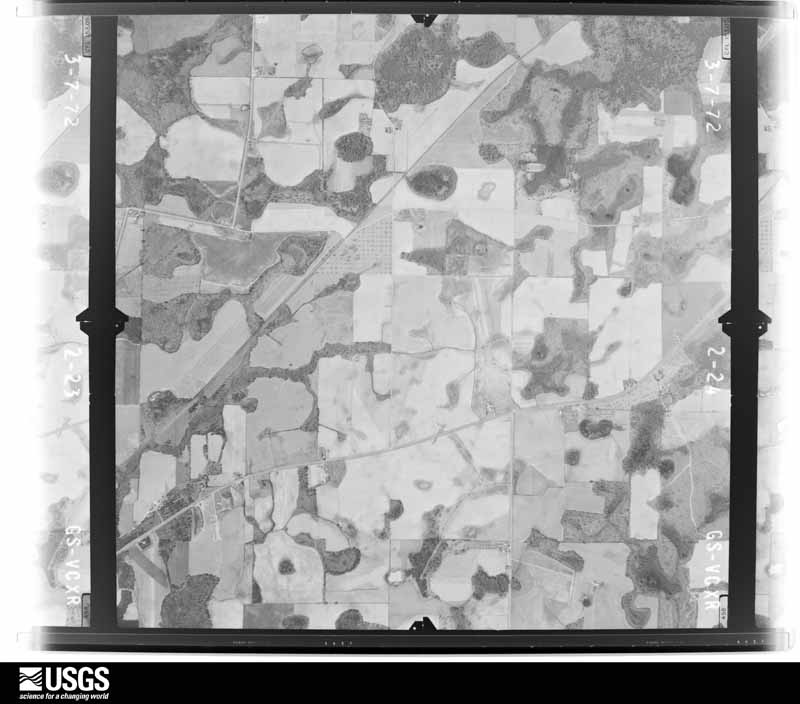
The thermometers that kept this county's weather, and the gages that measured the flow of its streams, as the federal records hold them. The extremes below are measured values from those records, not estimates.
Who lived here in 1950, one enumeration district at a time, as the Census Bureau described each district. Each row opens its official National Archives result, with Population Schedules and ED Maps available there.
Every wildfire the federal occurrence database records inside this county: 1,263 of them, burning about 4,535 acres. 76 started naturally and 71 were recorded as arson. Each settlement page carries the fires within five miles of it.
| Reported cause | Fires |
|---|---|
| Debris and open burning | 755 |
| Equipment and vehicle use | 153 |
| Natural | 76 |
| Arson/incendiarism | 71 |
| Missing data/not specified/undetermined | 61 |
| Misuse of fire by a minor | 60 |
| Smoking | 46 |
| Recreation and ceremony | 27 |
| Railroad operations and maintenance | 14 |
The five largest, by the area the report gives. None of them was recorded as arson.
| Date | Cause | Size | Reported by | Name on the report |
|---|---|---|---|---|
| 9 June 2011 | Missing data/not specified/undetermined | 120 acres | Georgia Forestry Commission | FY2011-SUMTER-085 |
| 8 June 2008 | Equipment and vehicle use | 107 acres | Georgia Forestry Commission | not named |
| 4 October 2011 | Debris and open burning | 95 acres | Georgia Forestry Commission | FY2012-SUMTER-022 |
| 5 December 1999 | Debris and open burning | 89 acres | Georgia Forestry Commission | not named |
| 25 May 2011 | Debris and open burning | 78 acres | Georgia Forestry Commission | FY2011-SUMTER-073 |
| 24 November 2012 | Debris and open burning | 54 acres | Georgia Forestry Commission | FY2013-SUMTER-030 |
| 19 February 2005 | Equipment and vehicle use | 48 acres | Georgia Forestry Commission | not named |
| 17 February 2009 | Debris and open burning | 47 acres | Georgia Forestry Commission | not named |
Every settlement page carries the fires within five miles of it - see the settlement index below.
The NOAA Storm Events Database holds 220 reports for this county, causing 3 deaths, 41 injuries and about $117,964,100 in recorded property damage. Each settlement page carries the reports that name it.
| Kind of event | Reports |
|---|---|
| Thunderstorm Wind | 136 |
| Hail | 33 |
| Tornado | 27 |
| Lightning | 9 |
| Flash Flood | 7 |
| Funnel Cloud | 4 |
| Flood | 2 |
| Heavy Rain | 2 |
The most serious of them, by death, then injury, then recorded damage. The accounts are quoted exactly as the forecast office filed them.
| When | Event | Place named | Harm | What the report says |
|---|---|---|---|---|
| March 2007 | Tornado (EF3) | Plains | 2 killed, 8 hurt, $110,000,000 | A damage survey conducted by the National Weather Service in Peachtree City, Georgia concluded that the EF3 tornado that first touched down in southeast Webster county continued to track northeast from the southwest to the northeast corner of Sumter county and then continued into extreme southern Macon county before finally lifting. The tornado tracked a total distance on the ground of approximately 40 miles. The tornado entered Sumter county about 4.75 miles southwest of Plains in southwest Sumter county and exited the northeast part of the county about 9 miles north of Methvins in northeast Sumter county. This was by far the most violent and devastating tornado of the March 1st outbreak. The tornado tracked roughly 32 miles across Sumter county with a maximum path width of 1.0 mile wide, which occurred in the Americus area. Damage within the city of Americus was extensive, although structures, trees, and power lines were down along the entire path of the tornado. The most significant damage in Americus was to the Sumter Regional Hospital, of which a significant portion was destroyed. Hundreds of homes and businesses in the Americus area were either totally destroyed or sustained significant damage. Hunderds of vehicles were also damaged or destroyed by debris and/or tossed about like matchsticks. The majority of the damage was within the vicinity of the Sumter Regional Hospital. Two deaths were reported at a home in Americus when a wall collapsed on a 43 year-old male and a 53-year old female. At least eight injuries were documented, but there may have been more.||Within the city of Americus, proper, there were 1235 total structures damaged or destroyed, including 217 businesses, 993 residences, 3 cemeteries, 10 churches, 1 fire station, 1 hospital, 8 recreational facilities/parks, and 2 schools. There were 75 structures (42 businesses, 31 residences, 1 hospital, 1 church) were destroyed. There were 148 structures (27 businesses, 116 residences, 3 recreational facilities/parks, 2 churches) with major damage. There were 331 structures (60 businesses, 260 residences, 3 recreational facilities/parks, 5 churches, 1 school, 2 cemeteries) with moderate damage and 681 structures (88 businesses, 586 residences, 2 recreational facilities/parks, 2 churches, 1 school, 1 cemetery, 1 fire station) with minor damage. |
| January 1971 | Tornado (F2) | not stated | 1 killed, 1 hurt, $25,000 | no account filed |
| September 1998 | Tornado (F1) | Desoto | 12 hurt, $200,000 | Low topped convection caused an apparent tornado in the Railroad Street area of DeSoto. Newspaper reports and sight survey by an NWS employee indicated at least 1 permanent structure home and 7 mobile homes were destroyed. Other homes were damaged by some of the hundreds of trees that fell. Several businesses were also damaged. |
| September 1998 | Tornado (F1) | Desoto | 10 hurt, $200,000 | Sight survey by an NWS employee and a newspaper report indicated a permanent structure home and several mobile or modular homes were destroyed in the Ferguson Road area. Debris was scattered several hundred feet. |
| April 1971 | Tornado (F3) | not stated | 8 hurt, $250,000 | no account filed |
| February 1990 | Tornado (F1) | not stated | 1 hurt, $2,500,000 | no account filed |
| December 1970 | Tornado (F2) | not stated | 1 hurt, $25,000 | no account filed |
| April 2009 | Tornado (EF1) | Cobb | $1,000,000 | A damage survey conducted by the National Weather Service Forecast Office in Peachtree City, Georgia confirmed that yet a third EF1 tornado touched down in Sumter county. This was a long-lived tornado and tracked across three counties, Sumter, Crisp, and Wilcox, for an approximate path length of 33 miles. This tornado touched down in far southeast Sumter county in the Cobb community and crossed Lake Blackshear into Crisp county about three miles east-southeast of Cobb. The tornado was determined to have a maximum path width of 200 yards with maximum winds estimated at 100 mph. Within Sumter county, one home was destroyed and 45 suffered minor to moderate damage. The damage was largely the result of downed trees on the structures. Two to three dozen trees and several power lines were down along the path of the tornado. |
| March 2005 | Flash Flood | Countywide | $500,000 | An amateur radio operator reported that extensive flooding was ongoing across the county. Several roads were washed out in the southern portion of the county and within the city of Americus. This occurred as early as 11:00 am EST. Later in the day, around 4:00 pm EST, the County 911 Center reported that many roads throughout the county had been closed. In addition, several small dams had been breached causing additional flash flood concerns and precautionary evacuations. Some cars became flooded and had to be abanonded. Several homes and apartments were flooded. Up to three feet of water was reported in some homes. By late evening, 16 roads in the county had been closed because of flooding. Some of the closed roads included U.S. Highway 19, Boo Cosby Road, Thomas Mill at Mad Dog Road, Pessell Creek Road, Georgia Highway 49 south at the Terrell county line, Anch Helms, Sam Rodgers, Little Bear Branch, and Three Bridges Road from Georgia Highway 377, south. Rainfall of 5-6 inches was common across the county, with some portions of the county receiving 8-9 inches of rain for the period from midnight on the 27th to midnight on the 28th. |
| December 2000 | Tornado (F2) | Americus | $310,000 | A National Weather Service disaster survey team reported that an F2 tornado first touched down at 9:30 pm EST 6 miles southeast of Americus, Georgia, on Henry Hart Road, midway between Georgia Highway 377 and U. S. Highway 280. The tornado then moved northeast at approximately 45 mph lifting 1 mile east of the Flint river at Georgia Highway 27 and Joe Stewart Road around 9:42 pm EST. The tornado cut a path up to 100 yards wide and traveled on the ground about 10 miles or 12 minutes. Although the tornado traveled through mainly rural areas, significant damage was reported. A wooden frame house was completely destroyed near the tornado's touchdown point on Henry Hart Road, while another home was damaged nearby. As the tornado continued along its northeastward path, five outbuildings were destroyed, three barns were destroyed, two cattle were killed, one large camper was overturned, one high tension power line tower was severely damaged, and a few temporary construction trailers were damaged. Finally, just before the tornado lifted, several chicken houses were destroyed on Joe Stewart Road. As a result, nearly 400 chickens were killed. In addition, numerous trees and power lines were blown down all across the county. There were no injuries or deaths reported with the tornado. |
| April 1981 | Tornado (F1) | not stated | $250,000 | no account filed |
| August 2021 | Tornado (EF1) | Americus | $200,000 | A National Weather Service survey found that an EF1 tornado with maximum wind Speeds of 95 mph and a maximum path width of 325 yards touched down in a residential area on the northeast side of Americus. Damage began along Pineview Drive, just south of Fire Station #3, where a few smaller trees were snapped or uprooted and a few shingles were pulled off of a house. The tornado rapidly strengthened as it moved north northwest crossing Crawford Street (Highway 49) and moved along Wanda Way and Sharon Drive with numerous medium-sized trees either uprooted or snapped. As the tornado continued northwest, significant damage to trees occurred between Sharon Circle and Pine Avenue. In this area, several homes sustained damage, with several severely damaged by large falling trees. This is where maximum wind speeds were estimated at 95 MPH. Several additional trees were snapped or uprooted along Railroad Street before the tornado dissipated. In all, more than 40 residences sustained some visible damage. No injuries were reported. [8/17/21: Tornado #1, County #1/1, EF-1, Sumter, 2021:015]. |
| March 2009 | Thunderstorm Wind | Americus | $200,000 | The Sumter County Emergency Management Director considerable damage near the Americus Wal Mart at the corner of U.S. Highway 280 and Feldar Street. In addition to many trees and power lines down in the area, considerable damage was noted to several buildings and property in the general area. A Goodwill drop off box was turned over as well as several truck bed covers which were blown over and about. To the southeast of Americus, several trees and power lines were down along Brady Road. Part of the roof was blown of the Textron building and a wall of the same building collapsed. Another building at Caravel Boats also sustained roof damage. The liners of three trucks at a nearby Ford Dealership were blown near 1500 feet to the east and landed on Sherwood Road. The emergency manager indicated that the wind was caused by strong straight line winds and not a tornado. |
| March 2011 | Hail | Plains | $182,000 | Several reports of large damaging hail, ranging in size from golf balls to baseballs, were received from the public and the Sumter County 911 Center from across the county. While the hail initially began as quarter-sized hail is it entered the northwestern part of the county north of Plains, it grew to golf ball and baseball size as it moved across Americus. |
| August 2002 | Lightning | Americus | $150,000 | The Americus Times-Recorder reported that at least four homes were struck by lightning. Two of the homes sustained minor to moderate damage because of fire, while the other two received only minimal damage to appliances. One home on Wildwood Circle sustained moderate damage as all of the roof rafters were burned and another on Wild Azalea Drive in the Rockhill Subdivision sustained minor damage. On Mayo Street an air conditioning unit was set on fire and a ceiling fan was set on fire at a fourth house on Forsyth St. |
| June 2007 | Hail | Plains | $140,000 | Employees of the U.S. Post Office in Plains Georgia reported that tennis ball-sized hail fell in the area. |
| March 2013 | Hail | Myrtle Springs | $129,000 | The Middle Flint Regional E911 Center and the public reported quarter to golfball sized hail north of Americus. |
| March 2013 | Hail | Andersonville | $129,000 | The public reported hail up to the size of golf balls at Patsy's Hot Dogs and Cool Cones near Andersonville. |
| October 2009 | Tornado (EF1) | Maddox | $125,000 | The Sumter County Emergency Management Director confirmed that an EF1 tornado touched down and tracked a little over two miles across the southern part of the county. The tornado touched down approximately five miles south of Americus near U.S. Highway 19. A grocery store on U.S. Highway 19, just south of McLittle Bridge Road, suffered a collapsed wall and roof damage. A large tree also fell on a forestry building near the location. A nearby home also suffered minor damage. The tornado continued to a point approximately 5.5 miles southeast of Americus or near Georgia Highway 377. Approximately 50 to 100 trees were uprooted along the path of the tornado. Some power lines were also down along the path of the tornado. |
| June 2001 | Flash Flood | Americus | $100,000 | The Americus Times-Recorder reported that very heavy rain from a thunderstorm in a short period of time, one hour or less, resulted in flooding of roads. A 30 foot section of Railroad Street was completely washed out when the culvert pipe, running under the street, could not handle the volume of water. The water also snapped a PVC pipe nearly one foot in diameter that carried sewage. Several other roads were flooded but not damaged, including North Jackson Street, East Furlow Street, and Second Street. |
| March 1998 | Lightning | Americus | $100,000 | A maintenance building at the Americus Country Club was destroyed when lightning ignited nearby trees and the fire spread to the building. The building, tools and equipment, and an automobile that were destroyed were easily valued at $100,000. |
| September 2015 | Flash Flood | Americus | $80,000 | The Sumter County Emergency Manager reported a few duplex homes in a low lying area off the 900 block of East Furlow Street in Americus were flooded when a nearby drainage ditch overflowed. Several people were evacuated from their homes. Around a dozen cars were inundated by the flood waters up to their door handles. The flood waters covered a portion of East Furlow Street. Another home at Matt Drive and Montgomery Street had four inches of water inside the house due to nearby storm drains unable to handle the rapid runoff. |
| May 2021 | Thunderstorm Wind | Plains | $50,000 | The Sumter County Emergency Manager reported numerous trees and a few power lines blown down across the entire county from Friendship to Maddix, Americus, Leslie, Cobb and Methvins. |
| April 2020 | Thunderstorm Wind | Americus | $50,000 | Multiple trees reported down in Americus with one tree down on a house at the 1000 block of Westside Drive. Another tree was reported down on a house at the 600 block of Walter Way. |
| May 2017 | Tornado (EF0) | Sumter | $50,000 | An National Weather Service survey team found that an EF0 tornado with a maximum path width of 100 yards and maximum winds of 74 MPH crossed into Sumter County from Lee County east of Highway 377 in a marshy area moving northeast. The tornado crossed RW Jones Road where 2 houses sustained minor roof damage. Further northeast, trees were downed along Wilson Battle Road and Brady Road before the tornado ended near Bone Road. No injuries were reported. [05/23/17: Tornado #1, County #2/2, EF-0, Lee, Sumter, 2017:072]. |
| April 2015 | Tornado (EF1) | Huntington | $50,000 | A NWS survey team found that a brief EF-1 tornado with maximum winds of 105 MPH and a path width of 100 yards touched down in southern Sumter County. The tornado destroyed 4 large grain silos, throwing debris over a quarter of a mile away into an adjacent field. A nearby metal building had 2 doors blown out, however the farm equipment inside was not damaged. The tornado snapped or uprooted 30-40 trees including some in a large pecan orchard. [04/19/15: Tornado #2, County #1-1, EF1, Sumter, 2015:006]. |
| March 2011 | Thunderstorm Wind | Americus | $50,000 | The Sumter County Emergency Management Director reported that one home and a barn, approximately five miles east of Americus along Georgia Highway 27, sustained at least moderate damage from strong thunderstorm winds gusts. Dozens of trees were also down in the vicinity. |
| August 2007 | Lightning | Americus | $50,000 | The Sumter County Emergency Management Director reported that a home was struck by lightning in the city. Exact damage amounts were not determinable. |
| December 2005 | Hail | Friendship | $50,000 | The Sumter County 911 Center reported a large swath of hail across the north part of the county. Hail ranging in size from golf balls to softballs fell approximately five miles north of Americus along U.S. Highway 19. Quarter-sized hail was also reported in the extreme south part of the county from a separate thunderstorm cell. |
| June 1998 | Thunderstorm Wind | Americus | $50,000 | Thunderstorm winds knocked many trees down and damaged 3 houses. |
| July 1994 | Thunderstorm Wind | Americus | $50,000 | Thunderstorm winds knocked down 20 Pecan trees in the Country Club Estates area. Nearly 40 Pine trees were also knocked down on the golf course. |
| April 2017 | Tornado (EF0) | Lebanon | $30,000 | A National Weather Service survey team found that an EF0 tornado with maximum wind speeds of 70 MPH and a maximum path width of 150 yards briefly touched down southwest of Plains along Highway 45 snapping a few trees. The tornado moved northeast crossing N. Carter Fishpond Road and Chavers Drive uprooting a few trees. The tornado continued northeast crossing Highway 308 south of Plains, uprooting a few more trees and causing minor roof damage to a few homes before ending shortly after crossing Wise Road. No injuries were reported. [04/05/17: Tornado #4, County #1/1, EF-0, Sumter, 2017:063]. |
| March 2011 | Tornado (EF0) | Flintside | $30,000 | A damage survey conducted by the National Weather Service and the Sumter and Crisp County Emergency Management Offices confirmed that a brief EF0 tornado touched down on the Sumter county side of Lake Blackshear, approximately two miles south-southwest of Georgia Veterans Memorial State Park and lifted on the Crisp county side of Lake Blackshear. The tornado traveled a total length of 3/4 mile from Sumter into Crisp county, with approximately 0.4 mile of this tornado path length within Sumter county. The maximum path width was estimated to be 200 yards with maximum wind gusts estimated to be 80 mph. Within Sumter county, two homes on the west shore of Lake Blackshear were damaged from downed trees. A few docks on the west side also suffered minor damage. No damage was observed on the Crisp county side of the lake as the tornado lifted before reaching the east shore of the lake. Note, this was the first tornado to touch down within the Peachtree City, Georgia county warning area during 2011.||[03/26-03/27/11: Tornado #1, County #1-2, EF0, Sumter-Crisp, 2011:001]. |
| December 2009 | Thunderstorm Wind | Americus | $25,000 | The Sutmer County Sheriff reported that a large tree fell on a home on Oglethorpe Street in Americus causing damage to the home and trapping the three residents inside. The occupants were rescued without injury. |
| June 2006 | Thunderstorm Wind | Americus | $25,000 | The Sumter County Emergency Management Director reported that straight-line thunderstorm winds blew approximately half the roof off a school. |
| August 2006 | Lightning | Americus | $25,000 | The Americus Times Recorder reported that lightning strikes caused considerable damage in the Americus area. Computer and phone systems at the county courthouse were damaged when lightning struck nearby. |
| July 2002 | Lightning | Andersonville | $25,000 | The Americus Times-Recorder reported that lightning struck an entertainment cabin/resort referred to as the "Quack Shack". The resulting fire completely destroyed the cabin. The cabin had been used since the early 1980s as a fun place to visit and a leisurely abode for many people, including lawyers, doctors, and even the Atlanta Braves baseball team. |
| August 2002 | Thunderstorm Wind | Americus | $25,000 | The Americus Times-Recorder and the county 911 center reported that thunderstorm winds blew down trees and power lines in the city. In addition, a small private airplane was flipped over by winds at Souther Field. Trees were also blown down in Plains. The Sumter county Emergency Manager also reported that a barn was blown down. |
| January 1972 | Tornado (F1) | not stated | $25,000 | no account filed |
| April 1972 | Tornado (F1) | not stated | $25,000 | no account filed |
| July 1965 | Tornado (F2) | not stated | $25,000 | no account filed |
| April 1961 | Tornado (F2) | not stated | $25,000 | no account filed |
| April 2017 | Thunderstorm Wind | Friendship | $20,000 | The Sumter County Emergency Manager reported trees blown down from around the intersection of Highways 153 and 30 to Mallon Road. A house was hit by a falling tree on Mallon road. No injuries were reported. |
| July 2000 | Thunderstorm Wind | Americus | $20,000 | The Americus Times Recorder reported that two buildings at Powell Farms Dairy on Hooks Mill Road were demolished by thunderstorm winds. Damage to the buildings and farm machinery stored inside was estimated at $20,000. In addition, a cow inside the structure was injured by the debris. Other tree limbs were reported down by the Sheriff on Georgia Highway 27 near Lake Blackshear. |
| May 2019 | Thunderstorm Wind | Americus | $15,000 | Sumter County EMA reported trees and powerlines down near the intersection of Harrold Ave and West Furlow Street. |
| August 2006 | Thunderstorm Wind | Americus | $15,000 | The Americus Times Recorder reported that thunderstorm wind gusts blew over two scoreboard signs at the county recreational complex on U.S. Highway 19. Wind also damaged the roof of the public works building on McMath Mill Road. |
| June 2000 | Thunderstorm Wind | Cobb | $15,000 | The Sumter county Sheriff reported numerous trees down between Cobb and Blackshear Lake on the Crisp county line. The trees were blocking U.S. Highway 280, and were also reported to be down on some homes and cars in the area. |
| July 1999 | Thunderstorm Wind | Americus | $15,000 | The Americus sheriff and a newspaper report indicated thunderstorm winds damaged an irrigation pivot. The winds picked up over 800 feet of a 1200 foot length, and threw it 30 to 40 feet across a field onto a fence. Trees were uprooted and a power line was torn down by a tree limb. There was an unconfirmed report of a tornado. |
| June 1998 | Thunderstorm Wind | Andersonville | $15,000 | Sumter Electric reported trees down on power lines just east of Americus. The public reported an estimated wind gust to 75 mph that flattened a corn field in Andersonville. |
| July 1995 | Thunderstorm Wind | Americus | $15,000 | Thunderstorm winds knocked down several one to two foot diameter trees. A one and one-half-foot diameter tree was snapped in half, and a metal shed was peeled back over a cyclone fence. |
| June 2017 | Flash Flood | Croxton Crossroads | $12,000 | Emergency manager reported multiple areas of flash flooding extending from 2 SSE Sumter to 3 SW Leslie. Multiple roadways were covered with water, including Sam Hill Dogleg Road, RW Jones Road, and County Line Sneed Road. Other roadways were washed out, including Beauchamp Road, Wiggins Road, Buck Nelson Road and Cobb-Cheek Road. Radar estimates indicate rainfall amounts of 4 to 6 inches occurred over the area. |
| May 2020 | Thunderstorm Wind | Concord | $10,000 | The Sumter County 911 center reported several trees blown down from Dupree Road, Orchid Drive and Tallent Store Road northwest of Americus to Leslie-Lamar Road near Leslie. |
| May 2019 | Thunderstorm Wind | Huntington | $10,000 | Sumter County EMA reported a tree down across the road near the intersection of Hwy 280 and Brickyard Road. |
| December 2009 | Flash Flood | Myrtle Springs | $10,000 | The Sumter County Emergency Management Director reported that several ponds were over flowing their dams from heavy rain across the county. Three dams in particular were affected, including McMath Mill Pond Dam, Murphy Mill Dam, and Lake Collins. These ponds were 110 to 120 acres large. These were as a result of excessive rain runoff from Wolf Creek, Mill Creek, and Parkers Mill Creek, respectively. Fortunately, none of the dams actually failed. Two people were rescued from their vehicle from flood waters from Mill Creek on Murphy Mill Road. Several dirt roads across the county were washed out, but none of the paved roads suffered damage. No injuries were reported. Monetary damage was confined to debris removal in the area. |
| September 2007 | Thunderstorm Wind | Leslie | $10,000 | The Sumter County Emergency Management Director reported that thunderstorm wind gusts blew down several trees and power lines. In addition, the roof was blown off a porch of one home in the area. |
| November 2006 | Lightning | Americus | $10,000 | The Sumter County Emergency Management Director reported that lightning struck a tree adjacent to a home, causing the tree to fall on the house. The tree damaged and put a hole in the roof of the house. Minor street flooding from heavy rain was also reported in the city. |
| June 2021 | Thunderstorm Wind | Americus | $8,000 | The Sumter County 911 center reported trees and power lines blown down around Americus including along Forrest Street, Norris Street, Ohara Road and Patton Drive. |
| May 2006 | Thunderstorm Wind | Countywide | $8,000 | The Sumter County 911 Center and Sheriff's Office reported that thunderstorm winds had blown down many trees across the county. A number of trees were also down on power lines across the county. The Sumter Electric Cooperative Membership reported that 1800 residents, 300 of which were in Americus, were left without power during the height of the storm. |
| April 2015 | Thunderstorm Wind | Croxton Crossroads | $6,000 | The Sumter County 911 center reported trees blown down across the county. The greatest damage was just north of Leslie. |
| August 2007 | Lightning | Americus | $6,000 | The Americus Times Recorder reported that lightning struck and killed four horses that were grazing in a pasture off Georgia Highway 377 in the central part of the county, south of Americus. The horses were huddled under a pecan tree when they were struck. |
The Survey's mineral resources record lists 22 workings inside this county. 1 still produces and 21 are closed or unrecorded. Each settlement page carries the workings within five miles of it.
| Commodity | Workings |
|---|---|
| Aluminum | 14 |
| Kaolin | 6 |
| Sand and Gravel, Construction | 2 |
| Kaolin, Aluminum | 1 |
| Clay, Aluminum | 1 |
| Clay | 1 |
| Aluminum, Kaolin | 1 |
| Iron, Silica, Titanium, Water, Free | 1 |
The least common of them first, because a county's hundredth gravel pit says nothing its first ten did not.
| Where | Site | Commodity | Status | Recorded |
|---|---|---|---|---|
| Americus | Aluminum, Iron, Silica, Titanium, Water, Free | Prospect | 1912 | |
| Mulcoa Plant No 1 | Aluminum, Kaolin | Past Producer | ||
| Mullite Company of America | Kaolin, Aluminum | Occurrence | Weathering Residual | |
| Mullite North Pit Lot 278 | Clay, Aluminum | Past Producer | ||
| Sumter County Mine | Clay | Past Producer | ||
| Anthony Dairy Pit | Sand and Gravel, Construction | Occurrence | ||
| Reeves Sand Mine | Sand and Gravel, Construction | Past Producer | ||
| Prospect | Kaolin, Aluminum | Prospect | ||
| Prospect | Aluminum, Kaolin | Prospect | ||
| Prospect | Aluminum, Kaolin | Prospect | ||
| Rooks Property | Kaolin | Prospect | ||
| Sumter County Mines | Aluminum, Kaolin | Producer | ||
| Webb Pit | Kaolin | Occurrence | ||
| Andersonville Plant | Aluminum | Past Producer | ||
| Easterlin Mine | Aluminum | Past Producer | ||
| Hodges Property | Aluminum | Prospect | ||
| Joiner Lot 251 | Aluminum | Past Producer | ||
| Mulcoa Plant Number 2 | Aluminum | Past Producer | ||
| Mullite South Pit Lot 315 | Aluminum | Past Producer | ||
| Sweetwater Mine | Aluminum | Past Producer | ||
| Thigpen Mine | Aluminum | Past Producer | 1941 | |
| Webb Plant | Aluminum | Past Producer |
Named settlements recorded in the Geographic Names Information System, each with the topographic sheets covering it. Villages, hamlets and abandoned places alike. Each is shown with the nearest named watercourse or landform and the survey quadrangle it falls on. The 1 place that was also surveyed for fire insurance comes first, with the number of atlases and photographs held for them.
Americus census division · 31709 · On Town Creek · Americus quadrangle
8 sheets, 1955 to 1981
Fire insurance: 8 atlases
Andersonville census division · 31711 · On Prison Branch · Andersonville quadrangle
7 sheets, 1955 to 1981
Andersonville census division · 31764 · Methvins quadrangle
8 sheets, 1955 to 1981
No longer a settlement
Plains census division · 31787 · Smithville West quadrangle
7 sheets, 1953 to 1981
Andersonville census division · 31764 · On Gleaton-Johnson Slough · Drayton quadrangle
9 sheets, 1957 to 1988
No longer a settlement
Leslie-De Soto census division · 31764 · On Po Joe Branch · Methvins quadrangle
8 sheets, 1955 to 1981
Plains census division · 31780 · Plains quadrangle
8 sheets, 1955 to 1981
No longer a settlement
Plains census division · 31780 · Plains quadrangle
8 sheets, 1955 to 1981
No longer a settlement
Plains census division · 31719 · On Ninemile Branch · Ellaville South quadrangle
7 sheets, 1955 to 1981
No longer a settlement
Americus census division · 31719 · On Angelica Creek · Americus quadrangle
8 sheets, 1955 to 1981
Leslie-De Soto census division · 31764 · Leslie quadrangle
9 sheets, 1953 to 1981
No longer a settlement
Americus census division · 31709 · On Town Creek · Americus quadrangle
8 sheets, 1955 to 1981
The vanished settlements of Sumter County: the places named above that are no longer on the map.
8 topographic sheets and 8 fire insurance atlases, 1885 to 1948
The complete index, with nothing left out. Each of these is a separate record with its own page: a federal survey report, or the case file that argued a property on to the National Register. Both are public domain and reproduced word for word.
The vanished settlements of Sumter County, the places these records name that are no longer on the map.