 Block
From the record
6 National Register listings published here.
Sources: the National Register database, National Park Service
27 topographic sheets cover 16 settlements here, and 6 properties are on the National Register of Historic Places.
6 National Register listings published here.
Sources: the National Register database, National Park Service
Every property in this county listed on the National Register of Historic Places, with the year it was listed and the federal nomination document.
| Photograph | Property | Type | Listed | Reference |
|---|---|---|---|---|
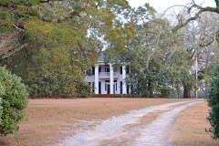 | John Chapman Plantation | building | 1982 | 82002491 |
 | Myrick's Mill | building | 1975 | 75000613 |
| Pines, The | district | 2021 | 100006053 | |
 | Richland Baptist Church | building | 1982 | 82002492 |
 | Twiggs County Courthouse | building | 1980 | 80001248 |
| Wimberly Plantation | building | 1982 | 82002493 |
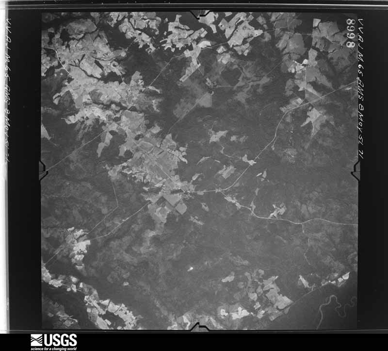
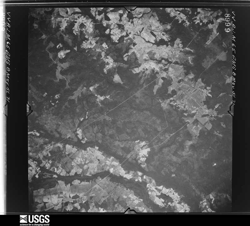
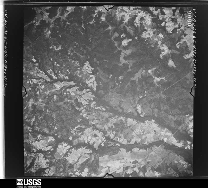
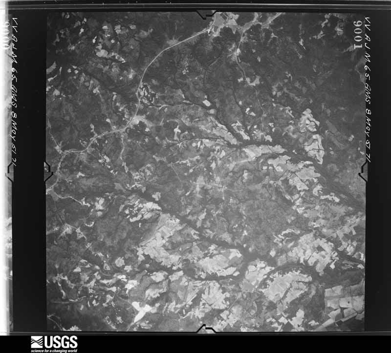
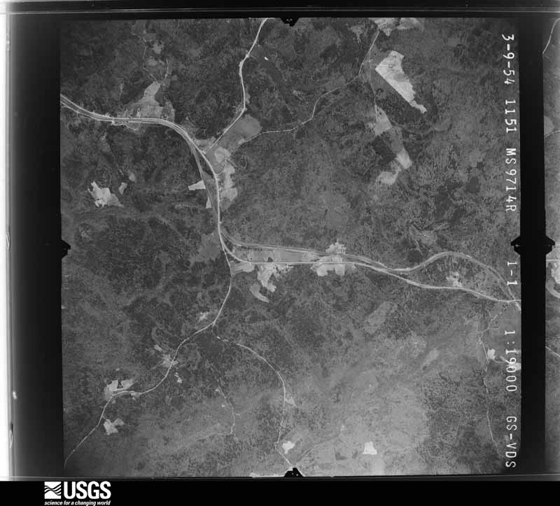
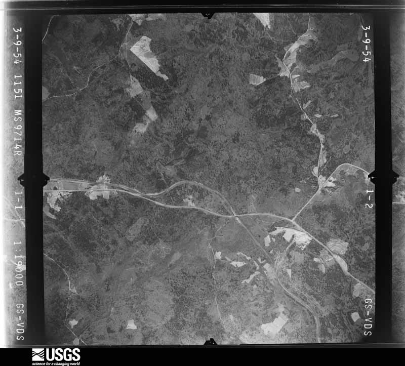
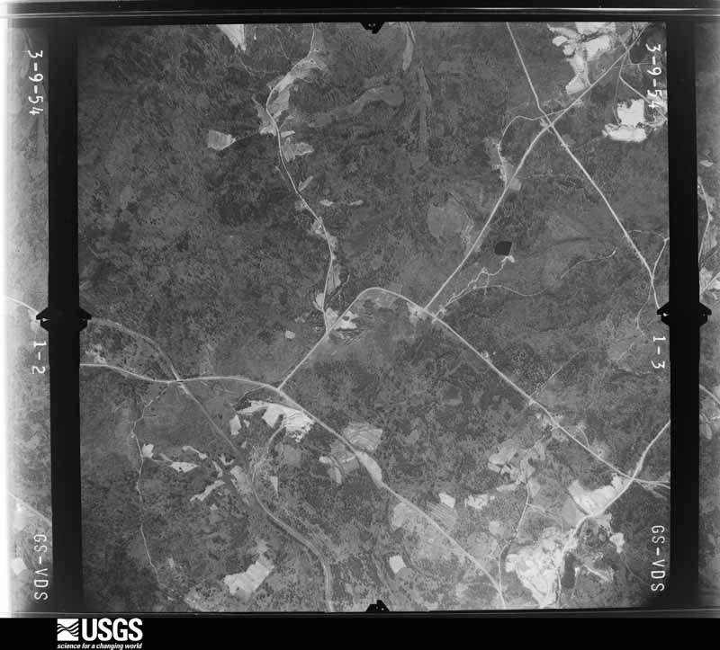
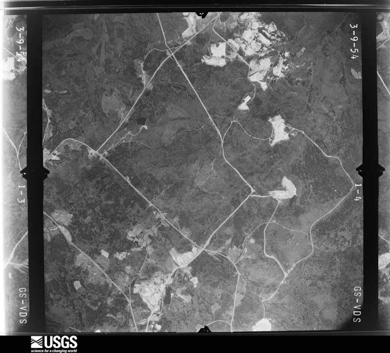
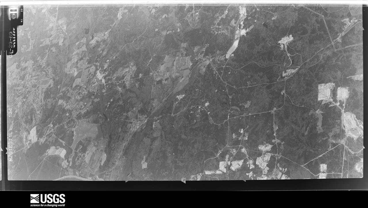
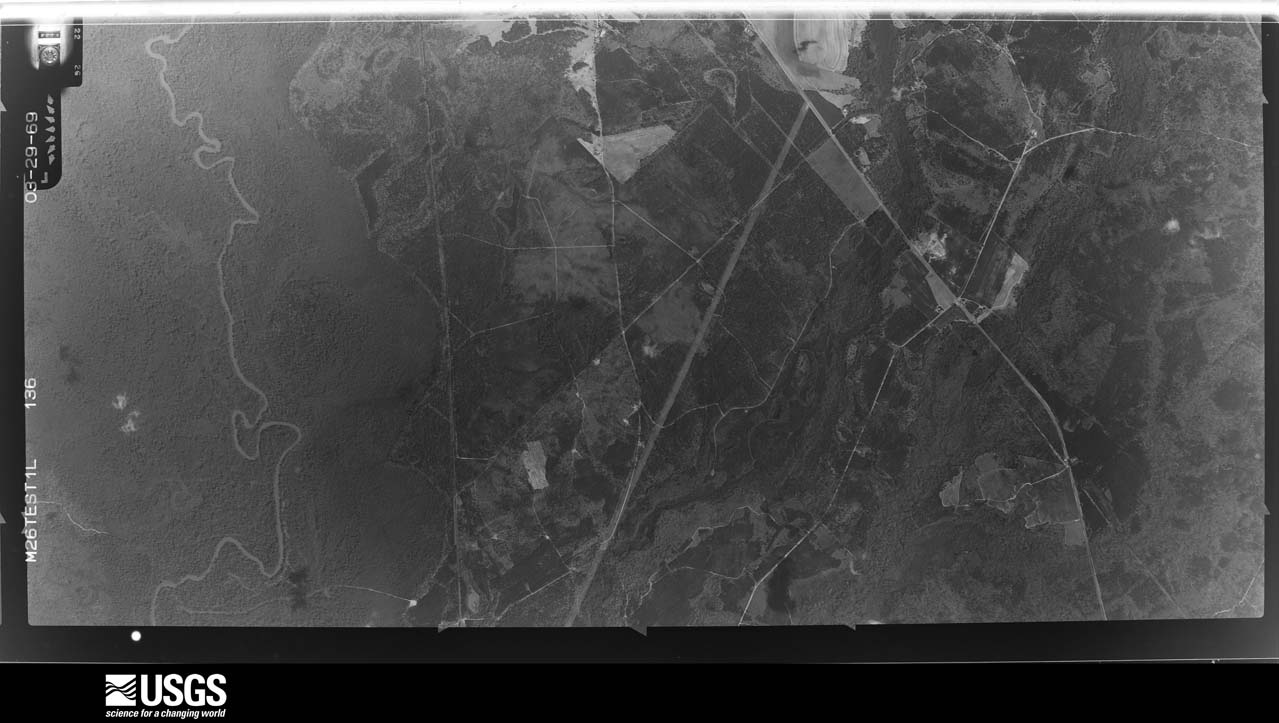
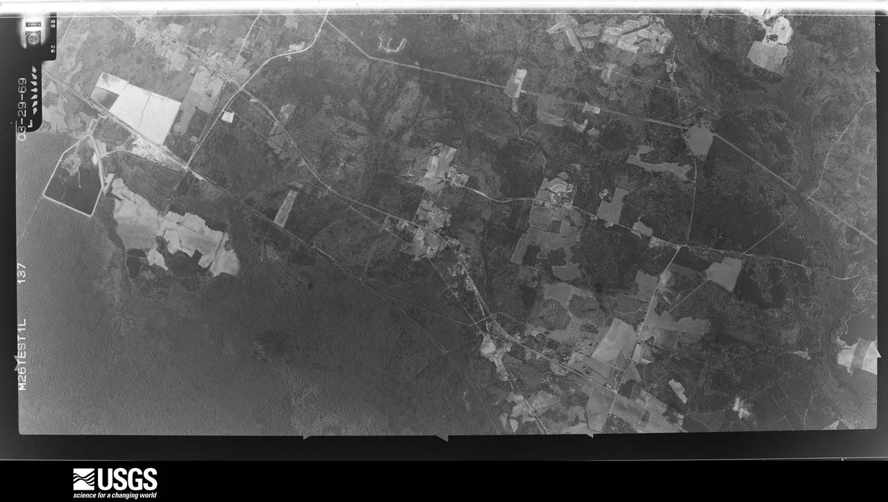
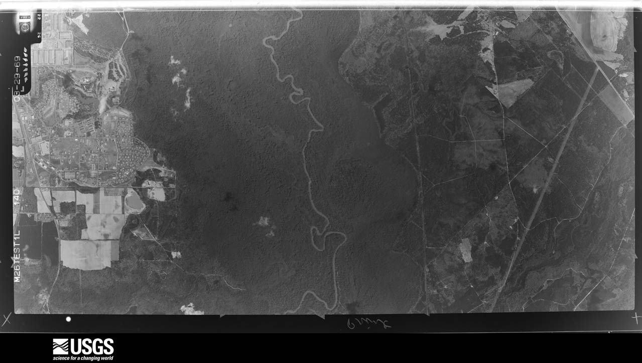
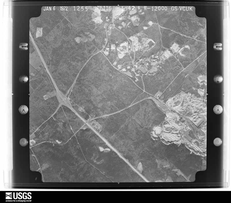
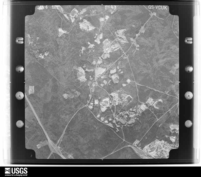
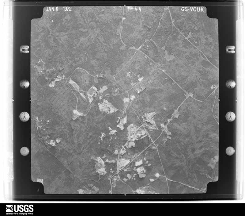
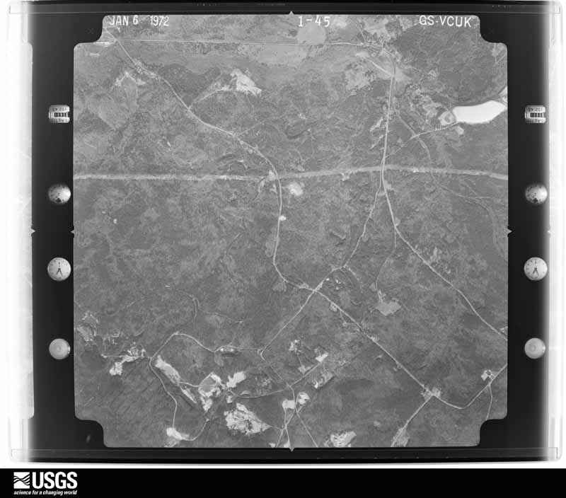
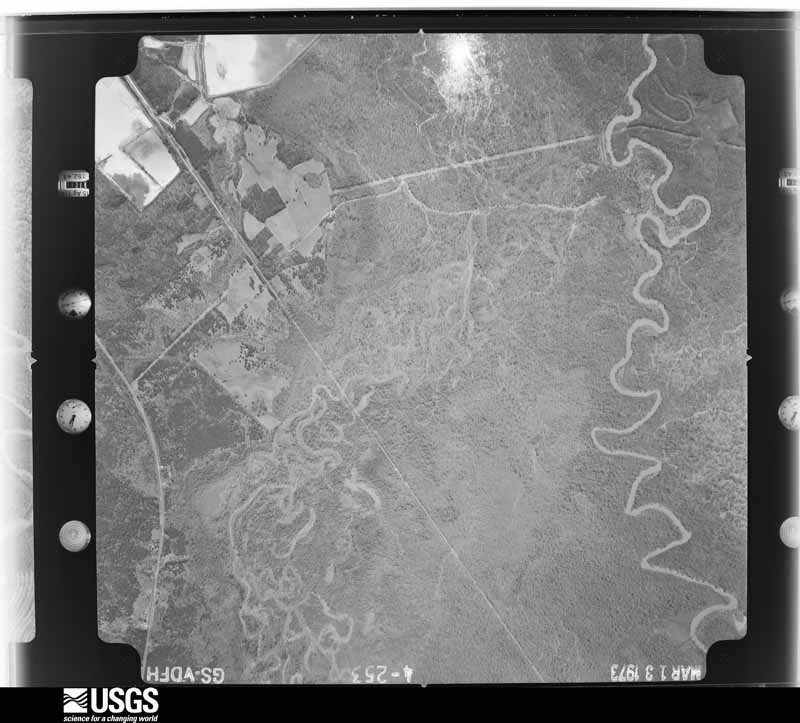
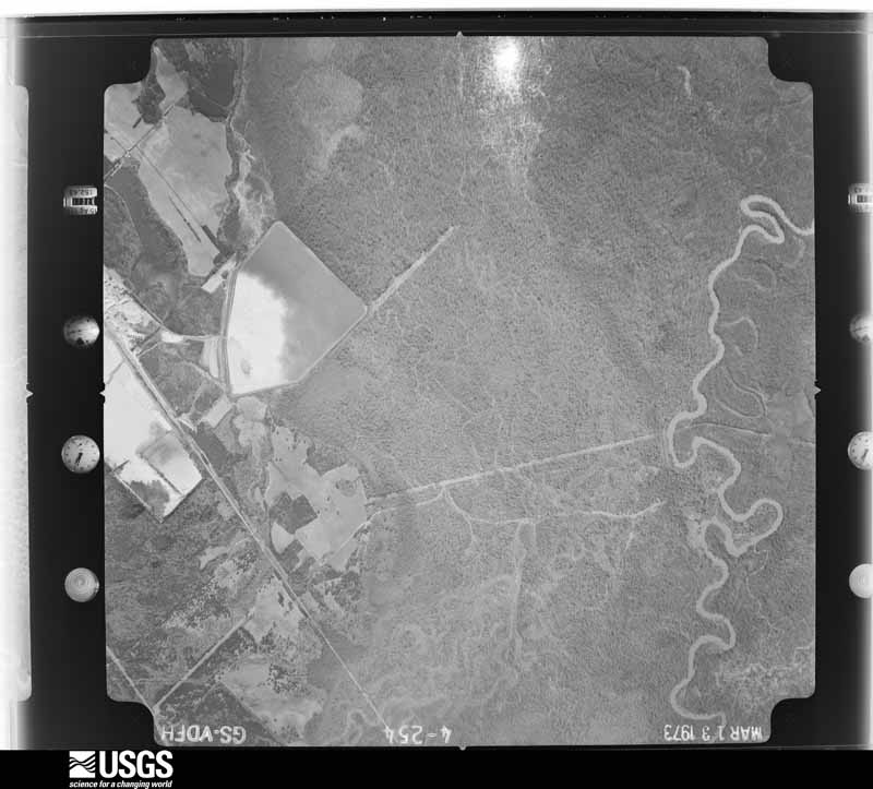
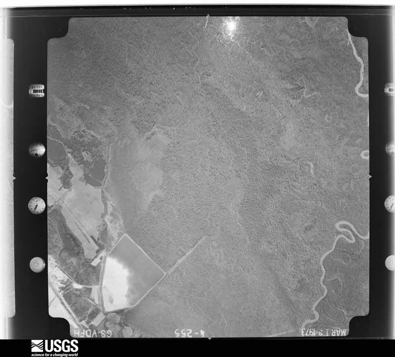
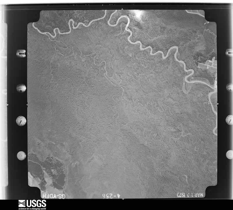
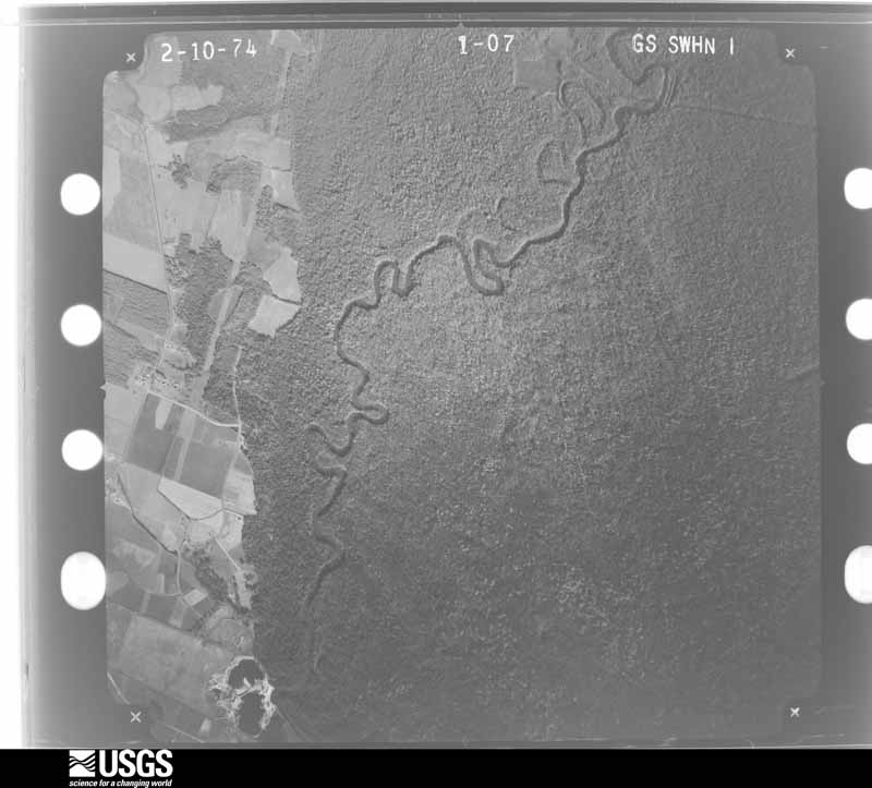
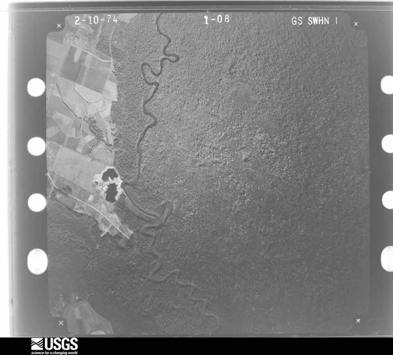
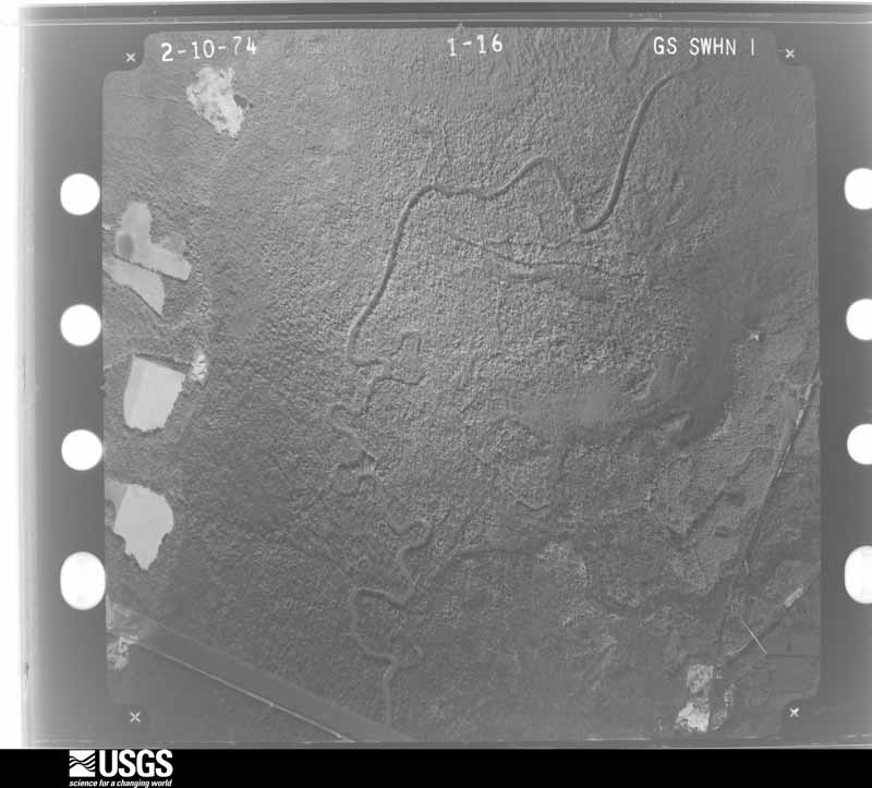
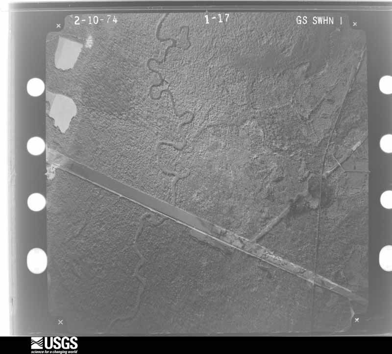
Flown by the U.S. Geological Survey between 1937 and 1989, the Aerial Photo Single Frames collection is the definitive mid-century view of the land: fields, roads and rivers as the camera saw them. The Survey holds 785 frames inside the rectangle that bounds this county; the 24 frames below were taken over the county itself, chosen across the decades of flights (at most four a year from that rectangle), so one flight cannot crowd out the rest. The full set is free to browse and download at EarthExplorer under the dataset Aerial Photo Single Frames.
The thermometers that kept this county's weather, and the gages that measured the flow of its streams, as the federal records hold them. The extremes below are measured values from those records, not estimates.
Who lived here in 1950, one enumeration district at a time, as the Census Bureau described each district. Each row opens its official National Archives result, with Population Schedules and ED Maps available there.
Every wildfire the federal occurrence database records inside this county: 2,083 of them, burning about 6,745 acres. 58 started naturally and 296 were recorded as arson. Each settlement page carries the fires within five miles of it.
| Reported cause | Fires |
|---|---|
| Debris and open burning | 1089 |
| Arson/incendiarism | 296 |
| Equipment and vehicle use | 203 |
| Missing data/not specified/undetermined | 126 |
| Smoking | 120 |
| Misuse of fire by a minor | 77 |
| Railroad operations and maintenance | 63 |
| Natural | 58 |
| Recreation and ceremony | 51 |
The five largest, by the area the report gives. Three of them were set deliberately.
| Date | Cause | Size | Reported by | Name on the report |
|---|---|---|---|---|
| 15 April 2006 | Arson/incendiarism | 206 acres | Georgia Forestry Commission | not named |
| 7 June 2004 | Debris and open burning | 174 acres | Georgia Forestry Commission | not named |
| 18 March 1994 | Arson/incendiarism | 131 acres | Georgia Forestry Commission | not named |
| 25 October 2001 | Debris and open burning | 127 acres | Georgia Forestry Commission | FY2002-TWIGGS-015 |
| 2 September 2011 | Debris and open burning | 105 acres | Georgia Forestry Commission | FY2012-TWIGGS-014 |
| 27 March 2007 | Debris and open burning | 91 acres | Georgia Forestry Commission | not named |
| 3 April 1997 | Arson/incendiarism | 87 acres | Georgia Forestry Commission | not named |
| 7 November 2016 | Debris and open burning | 77 acres | Georgia Forestry Commission | FY2017-TWIGGS-019 |
Every settlement page carries the fires within five miles of it - see the settlement index below.
The NOAA Storm Events Database holds 226 reports for this county, causing 2 deaths, 9 injuries and about $5,861,950 in recorded property damage. Each settlement page carries the reports that name it.
| Kind of event | Reports |
|---|---|
| Thunderstorm Wind | 159 |
| Hail | 38 |
| Tornado | 25 |
| Lightning | 3 |
| Flash Flood | 1 |
The most serious of them, by death, then injury, then recorded damage. The accounts are quoted exactly as the forecast office filed them.
| When | Event | Place named | Harm | What the report says |
|---|---|---|---|---|
| April 1953 | Tornado (F2) | not stated | 1 killed, 3 hurt, $25,000 | no account filed |
| April 1953 | Tornado (F3) | not stated | 1 killed, 2 hurt, $250,000 | no account filed |
| April 1959 | Tornado (F2) | not stated | 2 hurt, $250,000 | no account filed |
| January 1963 | Tornado (F2) | not stated | 2 hurt, $25,000 | no account filed |
| May 2008 | Tornado (EF1) | Fitzpatrick | $4,000,000 | A damage survey conducted by the National Weather Service Forecast Office in Peachtree City, Georgia confirmed that the same thunderstorm that earlier spawned the destructive EF2 tornado that tracked across Bibb county into western Twiggs county, shortly thereafter spawned yet another EF0 to EF1 tornado across central and east central Twiggs county. The tornado, which initially touched down as an EF0 tornado just east-southeast of Fitzpatrick, briefly strengthened to an EF1 tornado as it moved east, then sporadically fluctuated between EF1 and EF0 intensity as it continued on an almost due eastward track into Wilkinson county, crossing into Wilkinson county about 4 1/3 miles southeast of Myricks Mill. The tornado touched down near the intersection of U.S. Highway 80 and Myricks Mill Road where the roof of a church was destroyed. Four other churches sustained minor damage, along with 30 homes, mostly from downed trees. Five vehicles were damaged or destroyed. Tons of trees were either uprooted or twisted throughout the area, leaving several roads blocked and closed, including parts of Interstate 16. A number of power lines were also knocked down. Maximum sustained winds of the tornado within Twiggs county were estimated to be 90 mph, with a maximum path width of 100 yards. While the overall path length of this tornado was 25 miles, just a little over five miles of the path occurred within Twiggs county. |
| April 2017 | Tornado (EF1) | Jeffersonville | $150,000 | A National Weather Service survey team found that an EF1 tornado with maximum wind speeds of 90 MPH and a maximum path width of 150 yards touched down along Highway 96 just south of Jeffersonville in far eastern Twiggs County. The tornado moved east directly across the Robins AFB WSR-88D radar location snapping a few softwood trees but not damaging to the radar tower. The tornado continued its track |east-southeast where it did its greatest amount of damage along US Highway 80. In this area there was roof damage to the Reece Funeral Home and several air conditioning units on the main roof were moved several feet. A few metal support cables on power poles were also broken. A nearby residence was damaged with the majority of shingles blown off the roof and part of a metal roof was blown off of a barn. Multiple large mature oak trees were uprooted on the property. The tornado continued east crossing Gallimore Mill Road and Buck creek before passing into Wilkinson County. No injuries were reported. [04/03/17: Tornado #20, County #1/2, EF-1, Twiggs, Wilkinson, 2017:052]. |
| April 2011 | Thunderstorm Wind | Dry Branch | $150,000 | The Twiggs County Emergency Management Director and the 911 Center reported that dozens of trees and power lines were down from Dry Branch to Jeffersonville, with a few other trees and power lines down in other parts of the county as well. The hardest hit areas were in Dry Branch and Jeffersonville. In Dry Branch, multiple trees were down on Georgia Kaoline Road. One large tree was down on a home in Dry Branch with people trapped inside the structure. In Jeffersonville, more than a dozen trees were down just within the city limits. |
| April 2016 | Tornado (EF1) | Danville | $100,000 | A National Weather Service survey team found an EF-1 tornado with maximum winds of 95 MPH touched down between Moore Road and I-16 where it damaged two manufactured homes, one significantly with the majority of the roof lifted and partial collapse of the front exterior wall. Several trees surrounding the homes were snapped or uprooted. The tornado continued northeast crossing I-16 where a 300 yard swath of trees were down on either side of the interstate. Just west of the Wilkinson County line the tornado caused significant damage along State Highway 112, or Main Street, with two storage trailers sustaining major damage and several trees snapped or uprooted. The tornado then weakened but continued tracking northeast crossing into Wilkinson County on the southwest side of Allentown. [04/01/16: Tornado #4, County #1-2, EF1, Twiggs-Wilkinson, 2016:004]. |
| August 2012 | Thunderstorm Wind | Mount Olive | $60,000 | The Jefferson County 911 Center and Amateur radio operators reported trees down between Interstate 16 and Jeffersonville. A tree fell on a house on Charlie Floyd Road. |
| August 2021 | Tornado (EF0) | Mount Olive | $50,000 | A National Weather Service survey found that an EF0 tornado with maximum wind speeds of 80 mph and a maximum path width of 150 yards touched down just south of I-16 near exit 24. The tornado moved north across I-16 flipping several boats outside of a distribution center for Academy Sports and Outdoors on the north side of the interstate. The distribution center sustaining minor roof damage with pieces of metal sheeting blown into a nearby fence along Missile Base Road. One wall on a small pump station near a well was also blown in. The tornado continued north with trees blown down around the intersection of Prospect Church Road and Highway 96. The tornado dissipated just north of this intersection. [8/17/21: Tornado #3, County #1/1, EF-0, Twiggs, 2021:017]. |
| March 2019 | Tornado (EF1) | Huber | $50,000 | A National Weather Service survey team found that an EF1 tornado with maximum wind speeds of90 mph and a maximum path width of 300 yards in the small community of Huber. The tornado touched down very near the KaMin factory on Huber Road where a number of large trees were snapped or uprooted. The tornado moved east across Huber Road and Huber Clay County Road where a large number of pine trees were snapped or uprooted. A number of other trees were snapped or uprooted near the Chance Hill Church on Cochran Short Route, or Highway 23. A pine tree fell on a house in this location as well before the tornado lifted shortly after crossing the highway. No injuries were reported. [03/03/19: Tornado #4, County #1/1, EF1, Twiggs, 2019:009]. |
| January 2017 | Tornado (EF0) | Tarversville | $50,000 | A National Weather Service survey team found that an EF0 tornado with maximum wind speeds of 80 MPH and a maximum path width of 100 yards occurred in southern Twiggs County. The tornado began along Bruce King Road west of Longstreet Road and travelled northeast for a little over 4 miles crossing Carey Road before ending along Bruce Richardson Road. Around 100 trees were downed along the path of this tornado and a section of a large irrigation system was overturned. [01/21/17: Tornado #13, County #1/1, EF0, Twiggs, 2017:014]. |
| January 2006 | Thunderstorm Wind | Myricks Mill | $50,000 | The Twiggs County 911 Center reported that a number of trees were down in the extreme north part of the county near the Jones county line, about five miles northeast of Dry Branch. One tree had fallen through the roof of a home. |
| December 2005 | Hail | Bullard | $50,000 | The public and the 911 center reported that a large swath of hail tracked across the county from near Bullard in the west to near Jeffersonville in the east. The public reported half-dollar to golf ball-sized hail in Jeffersonville and the Twiggs County 911 Center reported ping pong to golf ball-sized hail between Bullard and Dry Branch. |
| June 2012 | Hail | Jeffersonville | $35,500 | Golf ball sized hail occurred near Highway 358 and Prospect Church Road not far from I-16. |
| April 2017 | Tornado (EF1) | Huber | $30,000 | A National Weather Service survey team found that an EF1 tornado with maximum wind speeds of 93 MPH and a maximum path width of 440 yards touched down in Twiggs County about 4 miles northeast of Robins AFB long US Highway 129-Alt. The tornado travelled east crossing Alton White Boulevard and Friendship Church Road. The tornado than followed along Bullard Road crossing I-16 before lifting just past Marion Ripley Road. This tornado remained over rural, wooded country and damage consisted of numerous hardwood and softwood trees snapped or uprooted. No injuries were reported. [04/03/17: Tornado #18, County #1/1, EF-1, Twiggs, 2017:050]. |
| August 2023 | Thunderstorm Wind | Tarversville | $25,000 | Emergency manager reported over 20 trees and some power lines down on Albert Jenkins Rd to the south of GA Hwy 129. |
| June 2021 | Thunderstorm Wind | Reids | $25,000 | The Twiggs County Emergency Manager reported several trees blown in the Huber area. Trees fell onto 2 homes on Bell Court and another onto a fire station at the intersection of Highway 129 and Sgoda Road. No injuries were reported. |
| March 1976 | Tornado (F1) | not stated | $25,000 | no account filed |
| February 1961 | Tornado (F2) | not stated | $25,000 | no account filed |
| March 1954 | Tornado (F1) | not stated | $25,000 | no account filed |
| November 2014 | Tornado (EF1) | Mount Olive | $15,000 | An NWS survey based on radar, photos and information provided by the Twiggs County Emergency Manager determined an EF1 tornado, with winds of 105 MPH and a path a half mile long and 100 yards wide, destroyed a singlewide mobile home, damaged a barn and downed several trees as it crossed Longstreet Road in southern Twiggs County. [11/17/14: Tornado #1, County #1-1, EF1, Twiggs, 2014:017]. |
| July 2000 | Thunderstorm Wind | Countywide | $15,000 | The Twiggs county 911 center reported lots of trees and power lines down across the county. |
| April 2020 | Thunderstorm Wind | Adams Park | $10,000 | Report of a home sustaining damage on West Lake Road at Hwy 96. Unsure if it was a tree falling on house or other structural damage. |
| April 2020 | Thunderstorm Wind | Jeffersonville | $10,000 | Multiple reports of trees and power lines down in the area of Soloman Road, off Hwy 80. |
| April 2020 | Thunderstorm Wind | Danville | $10,000 | Trees and multiple power lines down across the road near the intersection of Oak Street and 1st Street in Danville. |
| February 2019 | Thunderstorm Wind | Huber | $10,000 | The Twiggs County Emergency Manager reported numerous trees and power lines blown down in the eastern portion of the county from around Bullard to Jeffersonville. |
| May 2019 | Thunderstorm Wind | Jeffersonville | $10,000 | Twiggs County EMA reported multiple trees down along I-16 near Hwy 96. |
| April 2016 | Tornado (EF0) | Bullard | $10,000 | A National Weather Service survey team found that an EF-0 tornado with 65 MPH winds touched down along Bullard Road and travelled around .6 miles northeast along the road snapping a few trees in a path about 60 yards wide before lifting. [04/01/16: Tornado #3, County #1-1, EF0, Twiggs, 2016:003]. |
| May 2008 | Thunderstorm Wind | Dry Branch | $10,000 | The Twiggs County 911 Center reported that many trees were blown down across the county. Several roads were blocked as a result. The most significant damage appeared to be along Georgia Highway 96 in the southern part of the county from Tarversville eastward to near Danville. |
| May 2003 | Thunderstorm Wind | Countywide | $10,000 | A off-duty Robins Air Force Base meteorologist measured wind gusts of 74 kts at his residence in Jeffersonville. The Twiggs county 911 center reported that a number of trees were blown down through the county. |
| May 1995 | Thunderstorm Wind | Jefferson | $10,000 | Thunderstorm winds knocked down numerous trees across the county. A transformer was knocked out in Jeffersonville by falling trees. The trees were as large as two to four feet in diameter and were mainly oak and pine trees. |
| April 2017 | Thunderstorm Wind | Jeffersonville | $8,000 | The Macon area local broadcast media reported numerous trees blown down near the intersection of Bullard Road and Highways 80 and 96. |
| January 2017 | Thunderstorm Wind | Bullard | $8,000 | The Twiggs County 911 center reported numerous trees blown down from around Marion to Jeffersonville. |
| June 2015 | Thunderstorm Wind | Huber | $8,000 | The Twiggs County 911 Center reported several trees blown from around Sgoda Road and White Springs Church Road to Bullard Road near I-16. |
| July 2015 | Thunderstorm Wind | Danville | $8,000 | The Twiggs County 911 Center reported trees and power lines blown down along I-16 near Danville. |
| May 2020 | Thunderstorm Wind | Jeffersonville | $7,000 | The Twiggs County 911 center reported numerous trees blown down along Highway 96 Near Jeffersonville. |
| November 2018 | Thunderstorm Wind | Huber | $7,000 | The Twiggs County Emergency Manager reported several trees blown down from Huber to near Myricks Mill. |
| July 2018 | Thunderstorm Wind | Mount Olive | $7,000 | The Twiggs County Emergency Manager reported numerous trees blown down across the southeastern portion of the county from around the intersection of Longstreet Road and Highway 96 to Danville. |
| July 2018 | Thunderstorm Wind | Tarversville | $7,000 | The Twiggs County 911 center reported numerous trees blown down along Highway 96 around the intersection with Highway 87. |
| July 2000 | Thunderstorm Wind | Bullard | $7,000 | The Twiggs county Emergency Management Director reported that about 30 pine trees were either twisted or broken off and some power lines were down between Bullard and Danville off Interstate 16 near U.S. Highway 129. He estimated that the damage covered a 0.5 to 1.5 mile wide area and stretched along a three mile wide path. He further reported that while most of the trees were lying in a northwesterly direction, some of the trees were lying in a southerly direction. |
| June 2017 | Thunderstorm Wind | Jeffersonville | $6,000 | The Twiggs County 911 center reported trees blown down bear the intersection of Missle Base Road and Hamlin-Floyd Road and on Highway 80 near the Turkey Creek bridge. |
| June 2015 | Thunderstorm Wind | Ripley | $6,000 | The Twiggs County Emergency Manager reported numerous trees down blocking from near Durham Mill road and U.S. Hwy 80 northwest of Jeffersonville to near the KJGX radar site south of Jeffersonville. |
| July 2015 | Thunderstorm Wind | Bullard | $6,000 | The Twiggs County 911 Center reported several trees down across the county, mainly from around Bullard to Marion. |
| November 2014 | Thunderstorm Wind | Jeffersonville | $6,000 | The Twiggs County 911 Center reported numerous trees and power lines down countywide. |
| June 2004 | Thunderstorm Wind | Bullard | $6,000 | WMAZ Television of Macon reported that two trees were blown down on Marion-Ripley Road at Bullard Road in the community of Marion. One of the trees fell on and caused damage to a vehicle. |
| April 2020 | Thunderstorm Wind | Danville | $5,000 | Report of a home sustaining damage on the 19000 block of Hwy 80. Unknown if a tree caused the damage or just the wind. |
| June 2016 | Thunderstorm Wind | Mount Olive | $5,000 | The Twiggs County 911 center reported a tree and a power line blown down on State Highway 358 near State Highway 96. |
| August 2015 | Thunderstorm Wind | Huber | $5,000 | The Twiggs County 911 Center reported several trees down on I-16 near mile marker 12. |
| May 2008 | Tornado (EF0) | Dry Branch | $5,000 | A damage survey conducted by the National Weather Service Forecast Office in Peachtree City, Georgia confirmed that the EF2 tornado, which initially touched down near Lizella in western Bibb county and tracked through the city of Macon, crossed into Twiggs county as a weaker EF0 tornado near the city of Dry Branch. Only tree and power line damage was observed within this portion of the track of the tornado. The maximum path width of this tornado was estimated to be 100 yards. |
| May 2008 | Thunderstorm Wind | Dry Branch | $5,000 | A damage survey conducted by the National Weather Service Forecast Office in Peachtree City, Georgia confirmed that straight-line winds of estimated at 60 to 70 mph caused damage to several trees and power lines up to three miles south of the track of an EF1 tornado that tracked from near Fitzpatrick to 4 1/3 miles southeast of Myricks Mill. |
| July 2008 | Thunderstorm Wind | Jeffersonville | $5,000 | The Twiggs County 911 Center reported that several trees and power lines were blown down along U.S. Highway 80 between Jeffersonville and Dry Branch. Radar data clearly showed a downburst in this area with base velocities in excess of 60 mph in this area. |
| August 2008 | Thunderstorm Wind | Huber | $5,000 | The Twiggs County 911 Center reported that more than a dozen trees were blown down across the county. Doppler radar base velocity data indicated wind speeds up to 65 mph tracked across much of the county from northwest to southeast. |
| March 2005 | Lightning | Jeffersonville | $5,000 | The Macon Telegraph reported that lightning struck outside a Huddle House restaurant and neighboring BP Oil Service Station. The lightning rendered the gasoline pump facility unusable. |
| August 1999 | Thunderstorm Wind | Jeffersonville | $5,000 | The public reported about 50 trees knocked down by thunderstorm winds between I-16 and highway 80. He said it looked like a tornado had come through. He also reported large hail about an inch in diameter. |
| June 1997 | Thunderstorm Wind | Jeffersonville | $5,000 | Numerous tree limbs were knocked down and several power lines were snapped countywide. |
| June 1994 | Thunderstorm Wind | Jeffersonville | $5,000 | Numerous trees were downed by thunderstorm winds along Georgia Highway 96. |
| August 2020 | Thunderstorm Wind | Fitzpatrick | $4,000 | The Twiggs County 911 center reported a few trees blown down in the Dry Branch area along Doyle Drive and Brown Road. |
| July 2007 | Thunderstorm Wind | Huber | $4,000 | The Twiggs County Deputy Emergency Management Director reported that ten trees and one power line were down across the county. Some trees were down on Interstate-16, Georgia Highway 96, and one local road. |
| May 2024 | Thunderstorm Wind | Danville | $3,000 | Several small trees were downed on Lucy Chapel Rd. |
The Survey's mineral resources record lists 100 workings inside this county. 34 still produce and 66 are closed or unrecorded. Each settlement page carries the workings within five miles of it.
| Commodity | Workings |
|---|---|
| Kaolin | 82 |
| Clay | 7 |
| Sand and Gravel, Construction | 4 |
| Clay, Kaolin | 2 |
| Aluminum | 2 |
| Stone, Crushed/Broken | 1 |
| Iron, Silica, Titanium, Water, Free | 1 |
| Fullers Earth | 1 |
| Kaolin, Aluminum | 1 |
The least common of them first, because a county's hundredth gravel pit says nothing its first ten did not.
| Where | Site | Commodity | Status | Recorded |
|---|---|---|---|---|
| Fullers Earth Mine | Fullers Earth | Past Producer | ||
| General Reduction Co. Mine | Kaolin, Aluminum | Past Producer | ||
| Lawson Quarry | Stone, Crushed/Broken | Past Producer | ||
| Sandersville-Macon | Aluminum, Iron, Silica, Titanium, Water, Free | Prospect | 1902, 1961 | |
| Georgia Kaolin Mine No. 11 | Aluminum | Past Producer | ||
| Hinson Mine | Clay, Kaolin | Occurrence | ||
| Nord Kaolin Company | Clay, Kaolin | Occurrence | ||
| Huber Pit | Sand and Gravel, Construction | Occurrence | ||
| Huber Sand Pit | Sand and Gravel, Construction | Producer | ||
| Unnamed Sand Deposit | Sand and Gravel, Construction | Occurrence | Alluvium | |
| Unnamed Sand Deposit | Sand and Gravel, Construction | Occurrence | Alluvium | |
| Dry Branch Mill | Clay | Producer | ||
| Georgia Kaolin Company. | Clay | Occurrence | ||
| Gordon Pit | Clay | Occurrence | ||
| J.M. Huber | Clay | Occurrence | ||
| Mine | Clay | Past Producer | ||
| Sam Hall and Sons | Clay | Occurrence | ||
| Tharpe Mine | Clay | Producer | ||
| 17 Mine | Kaolin | Past Producer | ||
| B.D. Tharpe Mine | Kaolin | Occurrence | ||
| Birch No. 1 Mine | Kaolin | Past Producer | ||
| Bond Mine | Kaolin | Producer | ||
| Brooks Mine Pit A | Kaolin | Producer | ||
| Brooks Mine Pit B | Kaolin | Producer | ||
| Cannon Mine | Kaolin | Past Producer | ||
| Crosby No. 3 Mine | Kaolin | Past Producer | ||
| Crosby No. 4 Mine | Kaolin | Past Producer | ||
| Crosby No. 5 Mine | Kaolin | Past Producer | ||
| Crosby No. 6 Mine | Kaolin | Past Producer | ||
| Crosby-Moore Mine | Kaolin | Past Producer | ||
| Davis Mine | Kaolin | Past Producer | ||
| Dean Hole Mine | Kaolin | Past Producer | ||
| Dry Branch Mine | Kaolin | Producer | ||
| Dry Branch Pit A | Kaolin | Producer | ||
| Epps Mine | Kaolin | Past Producer | ||
| Ga Kaolin Mine 22, Pit A | Kaolin | Producer | ||
| Ga Kaolin Mine 22, Pit B | Kaolin | Producer | ||
| Ga Kaolin Mine 43, Pitc | Kaolin | Producer | ||
| Ga Kaolin Mine 43, Pitd | Kaolin | Producer | ||
| Ga Kaolin Mine 43,Pitb | Kaolin | Producer | ||
| Ga Kaolin Mine 43,Pite | Kaolin | Producer | ||
| Ga Kaolin Mine 57 | Kaolin | Producer | ||
| Ga Kaolin Mine 71 | Kaolin | Producer | ||
| Ga. Kaolin Mine 43, Pita | Kaolin | Producer | ||
| Ga. Kaolin Mine 50 | Kaolin | Producer | ||
| Ga. Kaolin Mine 60 | Kaolin | Producer | ||
| Griffin Mine | Kaolin | Producer | ||
| Hinson Mine | Kaolin | Producer | ||
| Huber Mill | Kaolin | Producer | ||
| Huber Mine | Kaolin | Producer | ||
| Huber Mine 20, Pit A | Kaolin | Producer | ||
| Huber Mine 20, Pit B | Kaolin | Producer | ||
| Huber Mine 22 | Kaolin | Producer | ||
| Huber Mine 26 | Kaolin | Producer | ||
| Huber Mine 30 | Kaolin | Past Producer | ||
| Huber Mine 31 | Kaolin | Producer | ||
| Huber Mine 36 | Kaolin | Producer | ||
| Huber Mine 38 | Kaolin | Producer | ||
| Huber Mine 6 Pita | Kaolin | Producer | ||
| Huber Mine 6, Pit B | Kaolin | Producer | ||
| Jefferson Mine | Kaolin | Producer | ||
| Kaolin Mines | Kaolin | Past Producer | ||
| Mine | Kaolin | Past Producer | ||
| Mine | Kaolin | Past Producer | ||
| Mine | Kaolin | Past Producer | ||
| Mine | Kaolin | Past Producer | ||
| Mine | Kaolin | Past Producer | ||
| Mine | Kaolin | Past Producer | ||
| Mine | Kaolin | Past Producer | ||
| Mine | Kaolin | Past Producer | ||
| Mine | Kaolin | Past Producer | ||
| Mine | Kaolin | Past Producer | ||
| Mine | Kaolin | Past Producer | ||
| Mine | Kaolin | Past Producer | ||
| Mine | Kaolin | Past Producer | ||
| Mine | Kaolin | Past Producer | ||
| Mine | Kaolin | Past Producer | ||
| Mine | Kaolin | Past Producer | ||
| Mine | Kaolin | Past Producer | ||
| Mine | Kaolin | Past Producer | ||
| Mine | Kaolin | Past Producer | ||
| No. 1 Mine | Kaolin | Past Producer | ||
| No. 1 Mine | Kaolin | Past Producer | ||
| No. 1 Mine | Kaolin | Past Producer | ||
| No. 10 Mine | Kaolin | Past Producer | ||
| No. 2 Mine | Kaolin | Past Producer | ||
| No. 2 Mine | Kaolin | Past Producer | ||
| No. 2 O'Neal Mine | Kaolin | Past Producer | ||
| No. 3 Mine | Kaolin | Past Producer | ||
| No. 8 Mine | Kaolin | Past Producer | ||
| No.4 Mine | Kaolin | Past Producer | ||
| Number 9 Mine | Kaolin | Past Producer | ||
| Old Flamoga Mine | Kaolin | Past Producer | ||
| Old Macon Mining Co. Mine | Kaolin | Past Producer | ||
| Old Payne and Nelson Mine | Kaolin | Past Producer | ||
| R. Epps Mine | Kaolin | Past Producer | ||
| Rico Mine | Kaolin | Past Producer | ||
| Ryle Mine | Kaolin | Past Producer | ||
| Tharp Mine | Kaolin | Past Producer | ||
| Tharpe Mine | Kaolin | Producer |
Named settlements recorded in the Geographic Names Information System, each with the topographic sheets covering it. Villages, hamlets and abandoned places alike. Each is shown with the nearest named watercourse or landform and the survey quadrangle it falls on.
South Twiggs census division · 31044 · Tarversville quadrangle
10 sheets, 1956 to 1988
North Twiggs census division · 31044 · Jeffersonville quadrangle
11 sheets, 1956 to 1988
North Twiggs census division · 31044 · On Turvin Creek · Marion quadrangle
11 sheets, 1956 to 1988
South Twiggs census division · 31020 · On Dogwood Branch · Tarversville quadrangle
10 sheets, 1956 to 1988
South Twiggs census division · 31044 · On Hasty Branch · Tarversville quadrangle
10 sheets, 1956 to 1988
North Twiggs census division · 31044 · On Game Creek · Dry Branch quadrangle
10 sheets, 1956 to 1988
South Twiggs census division · 31020 · On Crooked Creek · Westlake quadrangle
10 sheets, 1956 to 1988