 Block
Elders, Georgia
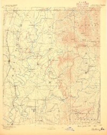
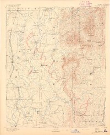
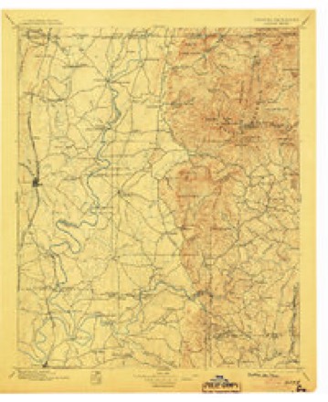
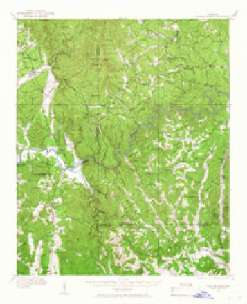
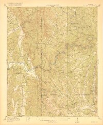
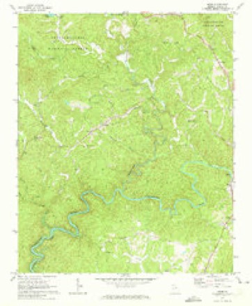
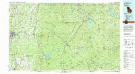
19 topographic sheets cover this place, the earliest surveyed in 1886 and the latest in 1981. It stands in the North Gilmer census division. It lies in ZIP code area 30540. It stands on Flat Branch. The Survey maps it on the Webb quadrangle.
Topographic sheets covering this place
11 surveys from 19 printed sheetsMatched by testing this settlement's coordinate against the published boundary of every sheet in the United States Geological Survey's historical collection. Each opens the scanned sheet at the Survey.
- 1886 USGS Dalton quadrangle1:125000
- 1892 USGS Dalton quadrangle1:125000
- 1897 USGS Dalton quadrangle1:125000, 4 printings
- 1914 USGS Talking Rock quadrangle1:62500, 2 printings
- 1916 USGS Talking Rock quadrangle1:62500, 2 printings
- 1955 USGS Rome quadrangle1:250000
- 1958 USGS Rome quadrangle1:250000, 3 printings
- 1961 USGS Rome quadrangle1:250000
- 1963 USGS Rome quadrangle1:250000
- 1971 USGS Webb quadrangle1:24000, 2 printings
- 1981 USGS Dalton quadrangle1:100000




Fires near this place
221 since 1992Regional context, not property-specific evidence. The federal wildfire occurrence database lists 221 fires within 5 miles of Elders between 1992 and 2020, burning about 642 acres in total. 9 started naturally. 51 were recorded as arson. Distance is straight-line from the map coordinates, so a fire counted here may appear on a neighbouring settlement's page as well.
| Reported cause | Fires |
|---|---|
| Debris and open burning | 125 |
| Arson/incendiarism | 51 |
| Missing data/not specified/undetermined | 17 |
| Natural | 9 |
| Smoking | 8 |
| Recreation and ceremony | 4 |
| Equipment and vehicle use | 4 |
| Misuse of fire by a minor | 3 |
The most recent of them, most recent first, with the day each was reported and the service that recorded it.
| Date | Cause | Size | Reported by | Name on the report |
|---|---|---|---|---|
| 7 September 1999 | Recreation and ceremony | under an acre | Georgia Forestry Commission | not named |
| 24 September 1999 | Misuse of fire by a minor | under an acre | Georgia Forestry Commission | not named |
| 19 September 2000 | Debris and open burning | under an acre | Georgia Forestry Commission | FY2001-GILMER-001 |
| 17 September 1998 | Debris and open burning | under an acre | Georgia Forestry Commission | not named |
| 29 August 2011 | Missing data/not specified/undetermined | under an acre | Georgia Forestry Commission | FY2012-GILMER-001 |
| 2 August 2006 | Equipment and vehicle use | under an acre | Georgia Forestry Commission | not named |
| 16 August 2007 | Debris and open burning | 3.9 acres | Georgia Forestry Commission | not named |
| 3 July 1993 | Debris and open burning | under an acre | Georgia Forestry Commission | not named |
Settlements close enough to share some of these fires:
Storms near this place
9 since 2011Regional context, not property-specific evidence. The National Weather Service names Elders in 9 storm reports between 2011 and 2022: 5 thunderstorm wind, 2 tornado, 1 flash flood, 1 lightning. No death or injury is recorded in these reports. Each account below is quoted exactly as the forecast office filed it, from the NOAA Storm Events Database, and each date opens the federal record of that event.
| When | Event | Place named | Harm | What the report says |
|---|---|---|---|---|
| December 2015 | Flash Flood | Elders | $1,100,000 | A USGS stream gauge on the Coosawattee River off Legion Road near Ellijay reached flood stage of 8 feet. The river crest at 13.9 feet. Major flooding affected around 45 homes and a few businesses in Ellijay with some evacuations. The Spring Ellijay Plant flooded and portions of the Pilgrims Pride Processing Plant parking lot were under 3 feet of water. The American Legion Post 82 building and the Georgia Power Substation next to the Post were flooded with around 3 feet of water. Most of the Harold Hefner River Park was flooded with a few feet of water. |
| April 2011 | Tornado (EF0) | Elders | $500,000 | A damage survey conducted by the National Weather Service Forecast Office in Peachtree City, Georgia in conjunction with the Gilmer County Emergency Management Director confirmed that a second EF0 tornado, again in combination with two brief microbursts, touched down approximately two miles north-northeast of Tails Creek almost simultaneously with the EF1 tornado that touched down southeast of Tails Creek. This tornado also had a path width of 1/2 mile with maximum winds estimated to be 80 mph. This EF0 tornado tracked 1.9 miles east-northeast before lifting. Again, several hundred trees were either blown over, uprooted, or snapped along the path of the tornado. The event likely consisted of two brief tornado segments either side of a longer lasting microburst. Six chicken houses were either destroyed or heavily damaged. A horse stable was also destroyed. Three outbuildings were also heavily damaged. No damage to homes was observed from this tornado.||[04/04-04/05/11: Tornado #2, County #1-1, EF0, Gilmer, 2011:004]. |
| July 2018 | Thunderstorm Wind | Elders | $150,000 | A National Weather Service survey team found that very strong thunderstorm winds caused significant damage across southwestern Gilmer County along a path around 5 miles long and 3 miles wide. The damage began near the intersection of Highway 76 and Crossroads Church Road and extended east southeast to around the intersection of Old Highway 5 and Howard Simmons Road. Numerous trees and power lines were blown down or snapped with several falling on homes and other structures. Significant damage was observed in the Coosawattee River Resort area. No injuries were reported. |
| January 2020 | Thunderstorm Wind | Elders | $30,000 | The Gilmer County Emergency Manager reported numerous trees and power lines blown down across the county in a swath at least 15 miles wide from northwest through southeast of Ellijay. |
| June 2019 | Thunderstorm Wind | Elders | $25,000 | Reports were received over social media that trees and power lines were blown down along Hicks Ford Road and that the clock tower at the Clock Tower Center mall was blown down. |
| July 2017 | Lightning | Elders | $10,000 | The Gilmer County Emergency Manager reported a house fire caused by lightning on Hickory Lane. |
| May 2017 | Tornado (EF0) | Elders | $8,000 | A National Weather Service survey team found that the thunderstorm that produced two brief tornadoes in Gordon County produced another brief tornado in Gilmer County northwest of Ellijay. The EF0 tornado, with maximum wind speeds of 70 MPH and a maximum path width of 30 yards, touched down southwest of Rodgers Creek Road and moved northeast for less than a tenth of a mile, crossing the road and snapping or uprooting several large trees on either side of the road. No injuries were reported. [05/24/17: Tornado # 4, County #1/1, EF-0, Gilmer, 2017:078]. |
| June 2022 | Thunderstorm Wind | Elders | - | A tree was downed on Highway 282 near Gunstock Creek Road. |
| June 2022 | Thunderstorm Wind | Elders | - | A tree was downed on Highway 282 near Pleasant Gap Rd. |
Nearest settlements
The eight closest, with where each one stands in the county. Distances are straight-line, computed from the Geographic Names Information System coordinates.
| Map | Place | Distance | Sheets |
|---|---|---|---|
| Roosevelt | 1.3 miles | 19 | |
| Tails Creek | 2.3 miles | 19 | |
| Ratcliff (historical) | 3.0 miles | 19 | |
| Ollie | 3.8 miles | 19 | |
| New Hope | 4.0 miles | 19 | |
| Mountaintown | 4.1 miles | 23 | |
| Pleasant Hill | 4.2 miles | 23 | |
| Kiker | 4.4 miles | 19 |
Elsewhere
Matched on this settlement's Geographic Names Information System number rather than its name, so it cannot be a different place of the same name in another state.
| Wikidata item Q122553307 | The structured record the population and elevation above come from. Public domain (CC0). |
Provenance
This settlement is recorded in the Geographic Names Information System as feature 331642. The sheet list is computed by point-in-boundary test against the United States Geological Survey's historical topographic inventory. Both are works of the United States government and carry no copyright under 17 U.S.C. 105.
Wildfire. Short, Karen C. 2022. Spatial wildfire occurrence data for the United States, 1992-2020 [FPA_FOD_20221014]. 6th Edition. Fort Collins, CO: Forest Service Research Data Archive. https://doi.org/10.2737/RDS-2013-0009.6 Collected with United States Government funding and usable without additional permissions or fees.
Storms. NOAA National Centers for Environmental Information, Storm Events Database https://www.ncei.noaa.gov/stormevents/ A work of the United States government, no copyright under 17 U.S.C. 105. Narratives are quoted verbatim from the National Weather Service report and are not edited or summarised.