 Block
Tails Creek, Georgia
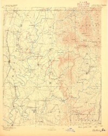
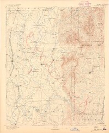
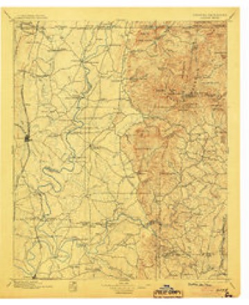
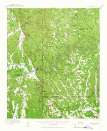
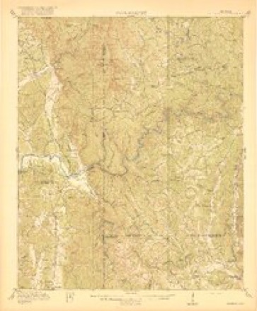
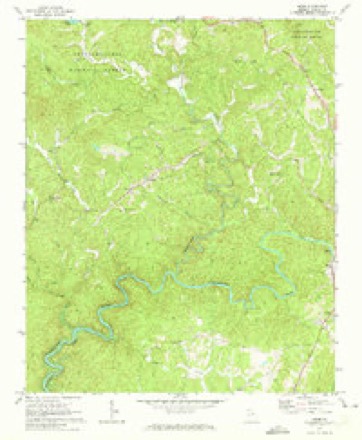
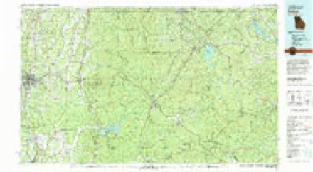
19 topographic sheets cover this place, the earliest surveyed in 1886 and the latest in 1981. It stands in the North Gilmer census division. It lies in ZIP code area 30540. It lies near Brushy Top. The Survey maps it on the Webb quadrangle.
Topographic sheets covering this place
11 surveys from 19 printed sheetsMatched by testing this settlement's coordinate against the published boundary of every sheet in the United States Geological Survey's historical collection. Each opens the scanned sheet at the Survey.
- 1886 USGS Dalton quadrangle1:125000
- 1892 USGS Dalton quadrangle1:125000
- 1897 USGS Dalton quadrangle1:125000, 4 printings
- 1914 USGS Talking Rock quadrangle1:62500, 2 printings
- 1916 USGS Talking Rock quadrangle1:62500, 2 printings
- 1955 USGS Rome quadrangle1:250000
- 1958 USGS Rome quadrangle1:250000, 3 printings
- 1961 USGS Rome quadrangle1:250000
- 1963 USGS Rome quadrangle1:250000
- 1971 USGS Webb quadrangle1:24000, 2 printings
- 1981 USGS Dalton quadrangle1:100000




Fires near this place
204 since 1992Regional context, not property-specific evidence. The federal wildfire occurrence database lists 204 fires within 5 miles of Tails Creek between 1992 and 2020, burning about 2,508 acres in total. 10 started naturally. 58 were recorded as arson. Distance is straight-line from the map coordinates, so a fire counted here may appear on a neighbouring settlement's page as well.
| Reported cause | Fires |
|---|---|
| Debris and open burning | 97 |
| Arson/incendiarism | 58 |
| Missing data/not specified/undetermined | 19 |
| Natural | 10 |
| Recreation and ceremony | 9 |
| Smoking | 5 |
| Misuse of fire by a minor | 3 |
| Equipment and vehicle use | 3 |
The most recent of them, most recent first, with the day each was reported and the service that recorded it.
| Date | Cause | Size | Reported by | Name on the report |
|---|---|---|---|---|
| 9 September 1998 | Debris and open burning | 2.0 acres | Georgia Forestry Commission | not named |
| 24 September 1999 | Misuse of fire by a minor | under an acre | Georgia Forestry Commission | not named |
| 19 September 1993 | Debris and open burning | 15 acres | Georgia Forestry Commission | not named |
| 18 September 2000 | Debris and open burning | under an acre | Georgia Forestry Commission | FY2001-MURRAY-010 |
| 17 September 1998 | Debris and open burning | under an acre | Georgia Forestry Commission | not named |
| 16 September 1999 | Missing data/not specified/undetermined | under an acre | Georgia Forestry Commission | not named |
| 15 September 1998 | Arson/incendiarism | 3.8 acres | Georgia Forestry Commission | not named |
| 14 September 1993 | Arson/incendiarism | 1.3 acres | Georgia Forestry Commission | not named |
Settlements close enough to share some of these fires:
Storms near this place
15 since 2004Regional context, not property-specific evidence. The National Weather Service names Tails Creek in 15 storm reports between 2004 and 2024: 11 thunderstorm wind, 3 hail, 1 tornado. The reports record 2 injuries. Each account below is quoted exactly as the forecast office filed it, from the NOAA Storm Events Database, and each date opens the federal record of that event.
| When | Event | Place named | Harm | What the report says |
|---|---|---|---|---|
| April 2015 | Thunderstorm Wind | Tails Creek | 2 hurt | The Gilmer County Emergency Manager reported trees and power lines down on Ridgeway Church Road. |
| July 2012 | Thunderstorm Wind | Tails Creek | $1,750,000 | The Gilmer County Emergency Manager reported that at least 50 trees were blown down, mainly along and near Carters Lake. The Carters Lake Marina was also damaged, with the roof of one of the covered docks completely collapsed, and many others had tin sheeting peeled from the roofs. One of the ramps was snapped and boards along the walkways were buckled. Almost a million dollars in damage was done to the marina alone. Numerous boats sustained minor to moderate damage, and some were blown off the lake. Several campers also sustained minor damage; some were blown over and others were damaged when trees fell on them. Gazebos, tents, and awnings were blown away as well. Five- to six-foot waves were observed on the lake during the storm. No injuries were reported. |
| May 2011 | Hail | Tails Creek | $775,000 | Numerous reports of large damaging hail from west of Tails Creek to northeast of Cherry Log were received from the Gilmer County Emergency Management Director, the public, and the Gilmer County 911 center. Quarter-sized hail was reported across the western part of the county from Tails Creek to northwest of Ellijay, as well as in Ellijay proper. As the storm moved into the northeast part of the county, the storm intensified producing golf ball to baseball-sized hail from just northeast of Ellijay to Cherry Log. The Gilmer County Emergency Management Director reported that baseball-sized hail caused considerable damage to vehicles along U.S. Highway 76/Georgia Highway 515 between Ellijay and Cherry Log, especially near White Path Road. Damage to homes was reported throughout the county. |
| January 2013 | Thunderstorm Wind | Tails Creek | $30,000 | The Gilmer County Emergency Manager reported that numerous trees and power lines were blown down across the western portion of the county. Two structures were damaged by falling trees. |
| May 2020 | Thunderstorm Wind | Tails Creek | $20,000 | The Gilmer County 911 center reported trees blown down onto a house in the 500 block of Eagle Mountain Drive. No injuries were reported. |
| April 2011 | Thunderstorm Wind | Tails Creek | $10,000 | The Gilmer County 911 Center reported that a number of trees and several power lines were down throughout the county, even outside the two areas in the west central part of the county affected by tornadoes. |
| July 2010 | Thunderstorm Wind | Tails Creek | $8,000 | The Gilmer County Emergency Management Director reported that 15 to 20 trees were blown down near or along Georgia Highway 282 between Ellijay and Tails Creek near the Murray county line. The roof and a garage door of an Ellijay fire station suffered minor damage. |
| July 2004 | Thunderstorm Wind | Tails Creek | $5,000 | The Gilmer County 911 center reported that several trees were blown down across the northwest portion of the county. One tree was on a power line just south of Ellijay. |
| October 2010 | Thunderstorm Wind | Tails Creek | $4,000 | The Gilmer County Emergency Management Director reported that six trees and a few power lines were down across the county. Radar data suggests that the majority of this occurred from Ellijay westward as the line of thunderstorms weakened considerably as it moved into the eastern part of the county. |
| April 2011 | Thunderstorm Wind | Tails Creek | $2,000 | The Gilmer County Emergency Management Director reported that at least six trees were down across the county. WSR-88D radar data indicates that most of this occurred across the western half of the county before the storms weakened below severe limits. |
| August 2010 | Thunderstorm Wind | Tails Creek | $1,000 | The Gilmer County Emergency Management Director reported that a few trees were blown down in the west central and central part of the county between Tails Creek and Ellijay. |
| August 2010 | Thunderstorm Wind | Tails Creek | $1,000 | The Gilmer County Emergency Management Director reported that a few trees were blown down in the west central and northwest part of the county near Mountaintown. Event times and location were based on radar data. The Emergency Manager reported that approximately 10 trees were blown down across the county in an approximate one-hour period between 6 pm and 7 pm EDT. Radar data suggests that much of this occurred near Tails Creek in the west central part of the county. |
| May 2024 | Tornado (EF1) | Tails Creek | - | Aerial and ground surveys revealed a fairly significant yet brief|swath of damage on either side of Tails Creek Road (Hwy 282) from|a tornado. Most of the damage was to trees with hundreds of them|either snapped or uprooted in a path that was less than 1 mile.|Little to no additional reports of damage has been documented|beyond Woodridge Drive and Tails Creek Road/Hwy 282. Based on the|extent of the tree damage, confidence is high that max winds were|around 90 mph, making this a very brief EF-1 tornado. |
| May 2011 | Hail | Tails Creek | - | The public observed quarter-sized hail west of Ellijay. |
| May 2010 | Hail | Tails Creek | - | The Gilmer County Emergency Management Director reported quarter-sized hail in the extreme western part of Gilmer county near the Murray county line, between Tails Creek and the Gilmer county line along Georgia Highway 282/U.S. Highway 76. |
Nearest settlements
The eight closest, with where each one stands in the county. Distances are straight-line, computed from the Geographic Names Information System coordinates.
| Map | Place | Distance | Sheets |
|---|---|---|---|
| Elders | 2.3 miles | 19 | |
| Roosevelt | 3.6 miles | 19 | |
| Ollie | 4.1 miles | 19 | |
| Ratcliff (historical) | 4.5 miles | 19 | |
| Pleasant Hill | 4.5 miles | 23 | |
| Mountaintown | 5.4 miles | 23 | |
| New Hope | 6.2 miles | 19 | |
| Kiker | 6.3 miles | 19 |
Elsewhere
Matched on this settlement's Geographic Names Information System number rather than its name, so it cannot be a different place of the same name in another state.
| Wikipedia article on Tails Creek | An encyclopaedic summary. Its text is share-alike, so it is linked here rather than copied. |
| Wikidata item Q65049953 | The structured record the population and elevation above come from. Public domain (CC0). |
Provenance
This settlement is recorded in the Geographic Names Information System as feature 329916. The sheet list is computed by point-in-boundary test against the United States Geological Survey's historical topographic inventory. Both are works of the United States government and carry no copyright under 17 U.S.C. 105.
Wildfire. Short, Karen C. 2022. Spatial wildfire occurrence data for the United States, 1992-2020 [FPA_FOD_20221014]. 6th Edition. Fort Collins, CO: Forest Service Research Data Archive. https://doi.org/10.2737/RDS-2013-0009.6 Collected with United States Government funding and usable without additional permissions or fees.
Storms. NOAA National Centers for Environmental Information, Storm Events Database https://www.ncei.noaa.gov/stormevents/ A work of the United States government, no copyright under 17 U.S.C. 105. Narratives are quoted verbatim from the National Weather Service report and are not edited or summarised.