 Block
From the record
2 National Register listings published here.
Sources: the National Register database, National Park Service
62 topographic sheets and 1 fire insurance atlases across 1 place.
2 National Register listings published here.
Sources: the National Register database, National Park Service
Taken for the Office of War Information and the Farm Security Administration, who photographed the country between 1935 and 1944. Works of United States government photographers, with no known restriction on use. Each opens its catalogue record.
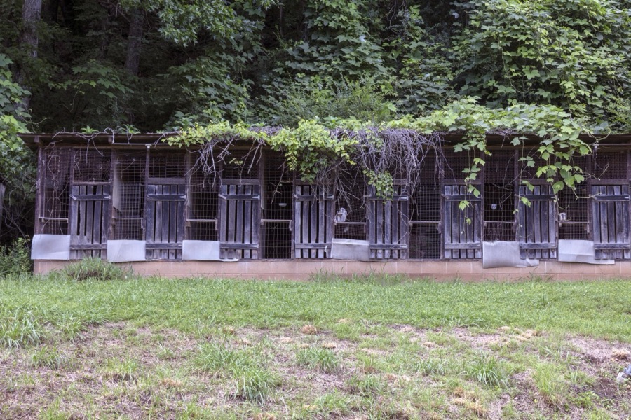
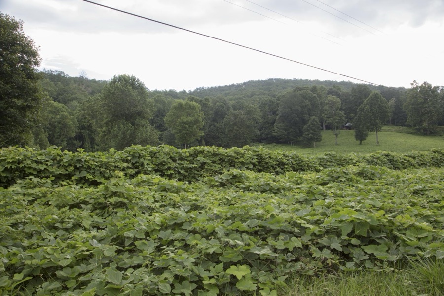



Every property in this county listed on the National Register of Historic Places, with the year it was listed and the federal nomination document.
| Photograph | Property | Type | Listed | Reference |
|---|---|---|---|---|
 | Cartecay Methodist Church and Cemetery | building | 2001 | 01000383 |
 | Gilmer County Courthouse | building | 1980 | 80001081 |
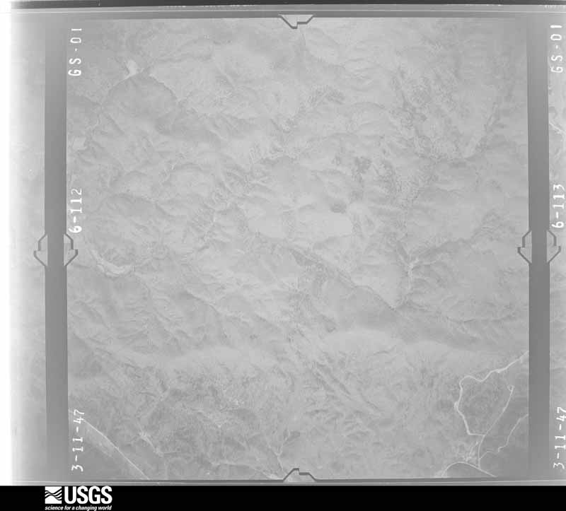
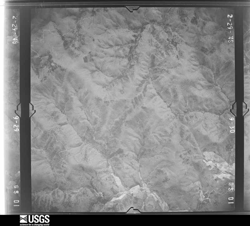
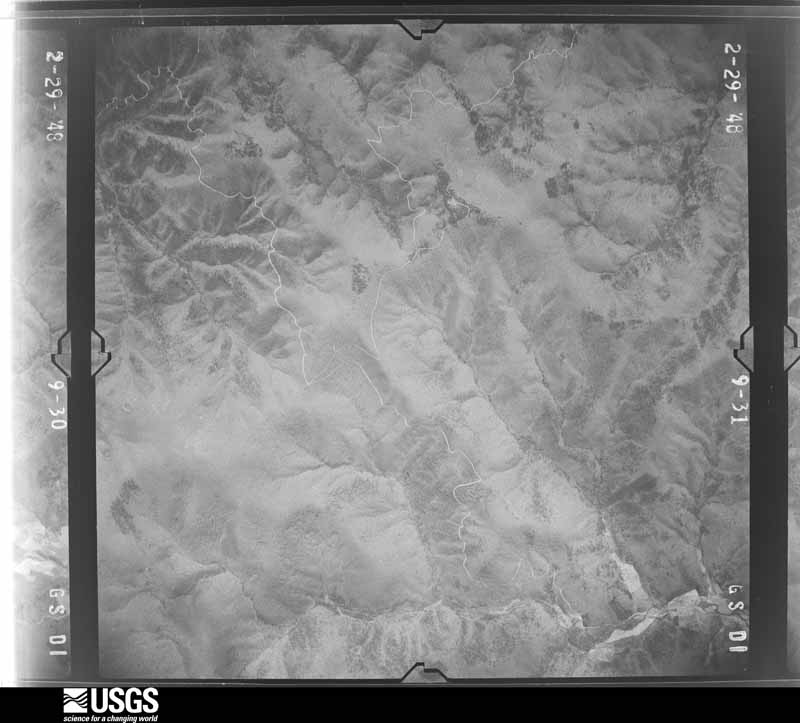
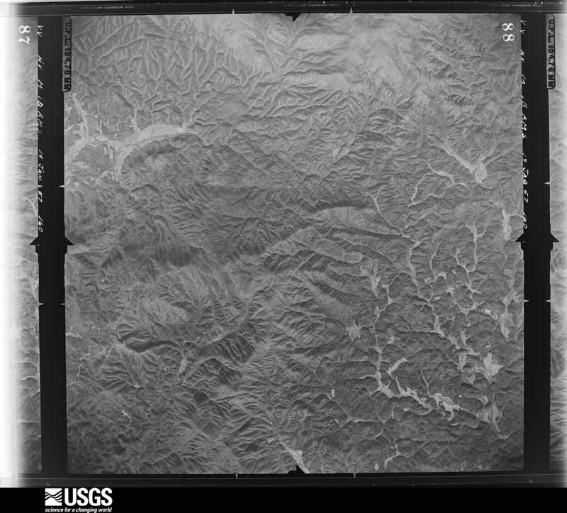
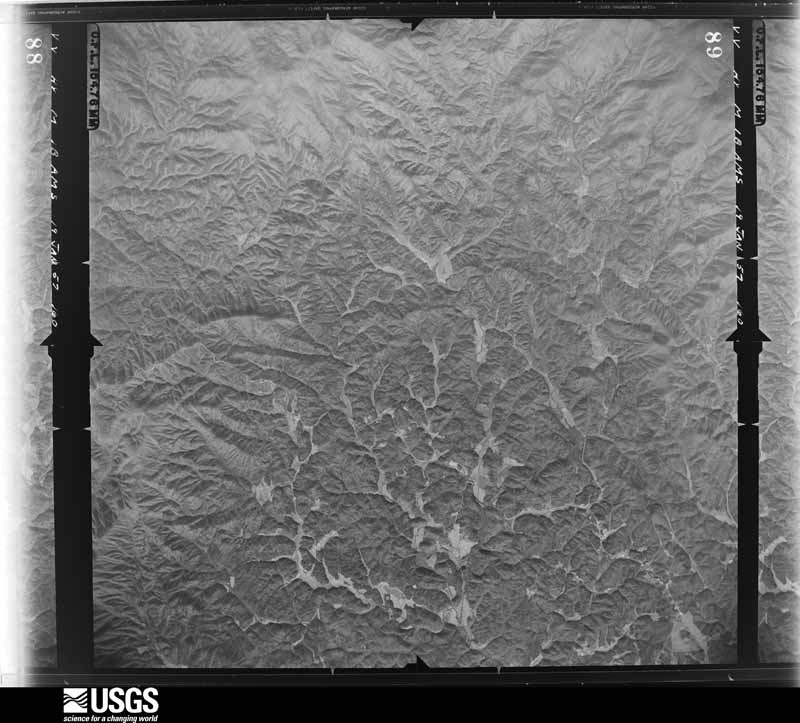
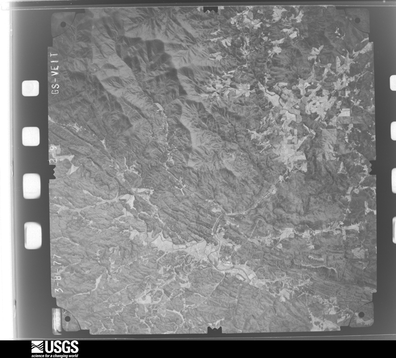
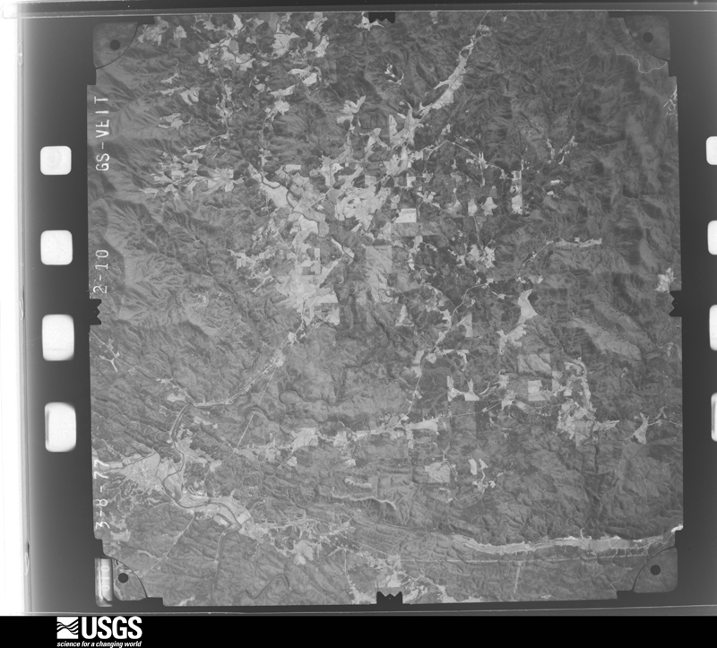
Flown by the U.S. Geological Survey between 1937 and 1989, the Aerial Photo Single Frames collection is the definitive mid-century view of the land: fields, roads and rivers as the camera saw them. The Survey holds 290 frames inside the rectangle that bounds this county; the 23 frames below were taken over the county itself, chosen across the decades of flights (at most four a year from that rectangle), so one flight cannot crowd out the rest. The full set is free to browse and download at EarthExplorer under the dataset Aerial Photo Single Frames.
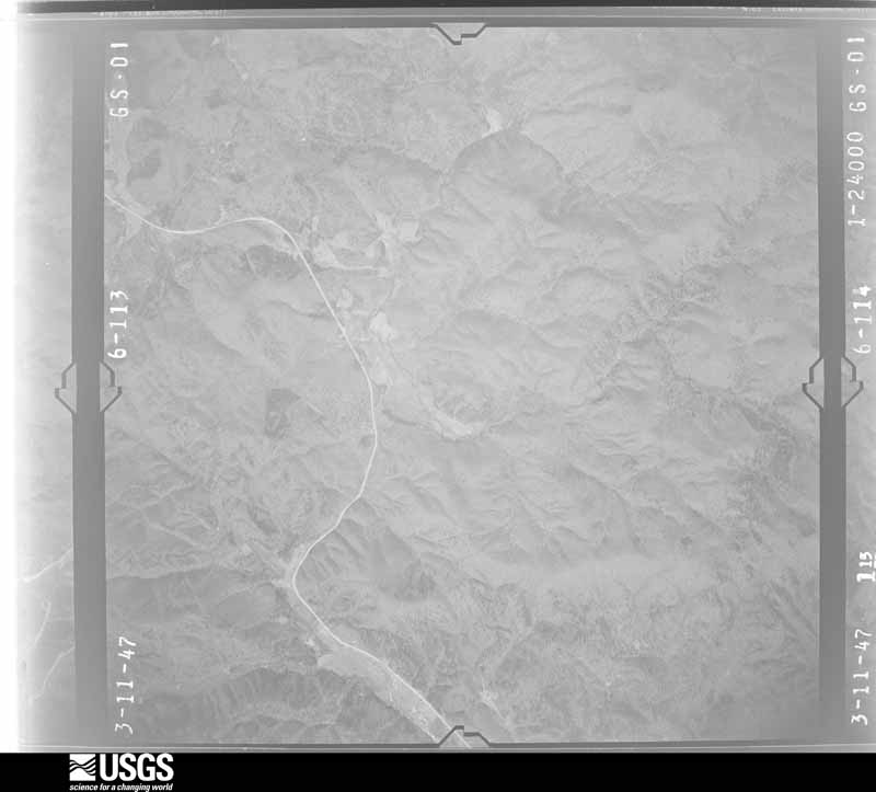
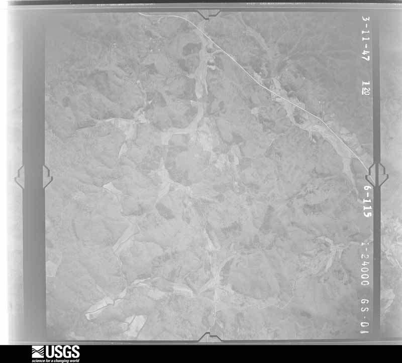
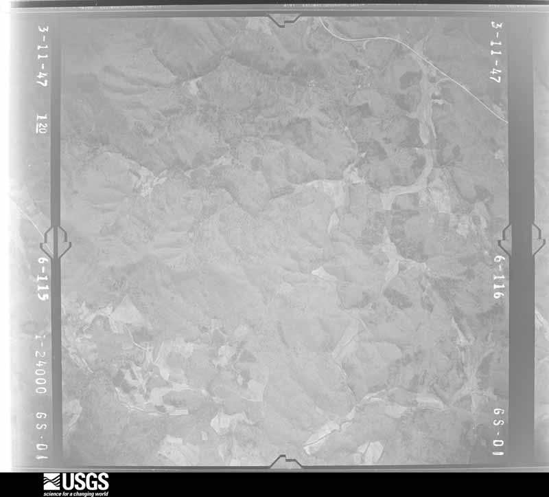
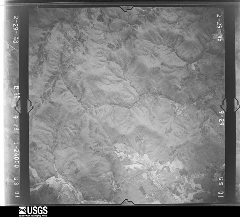
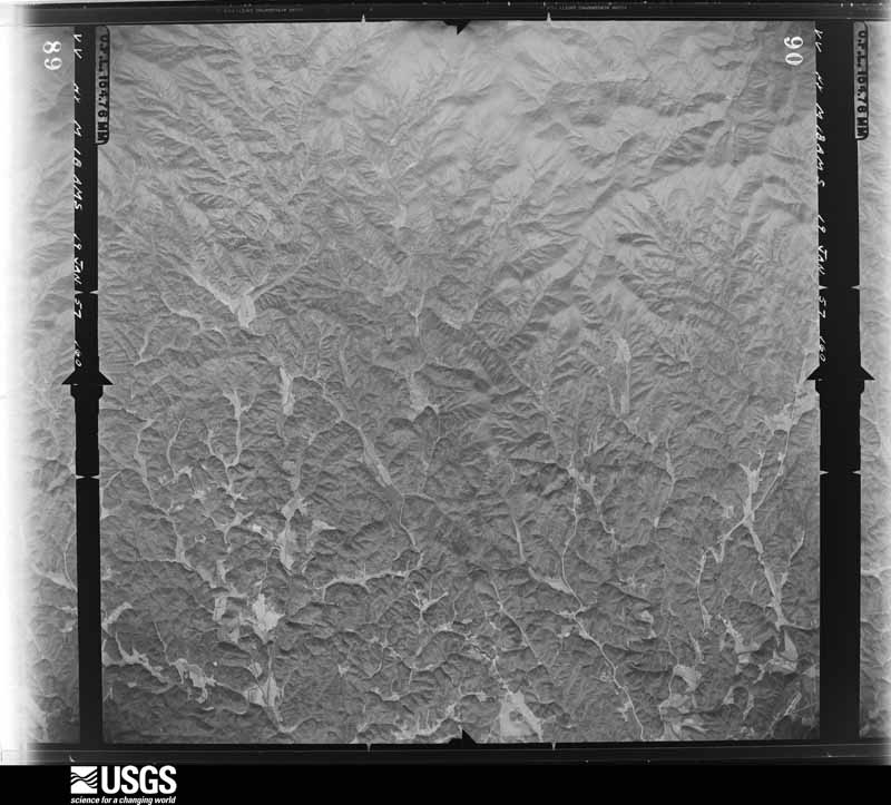
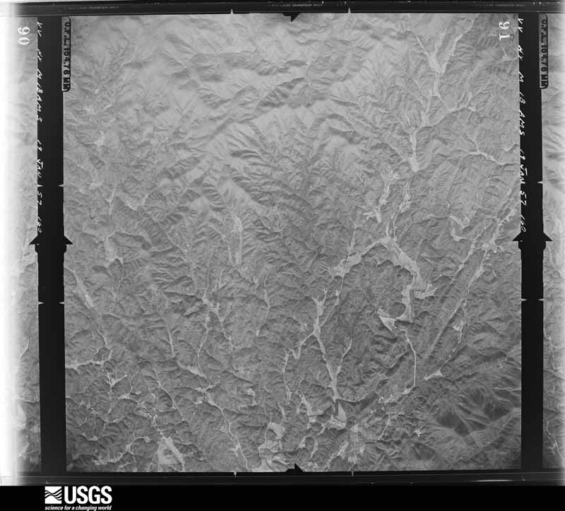
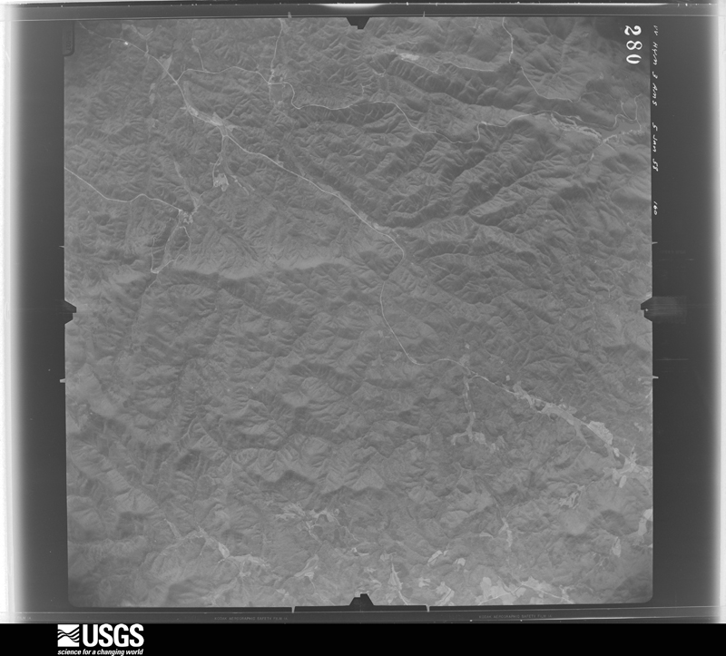
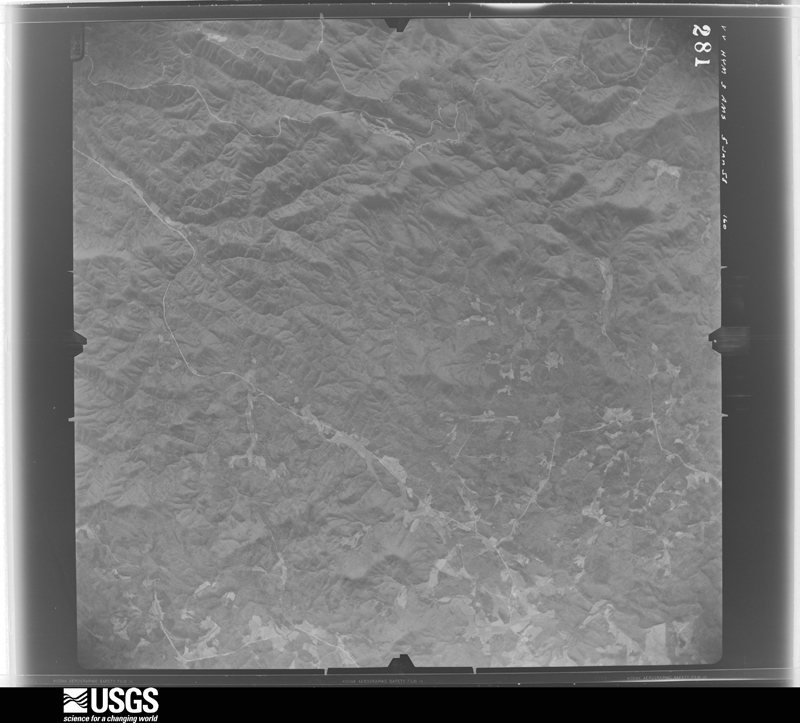
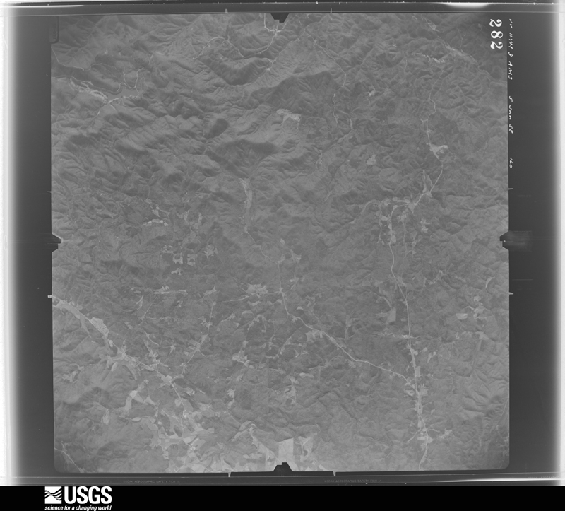
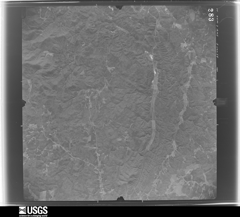
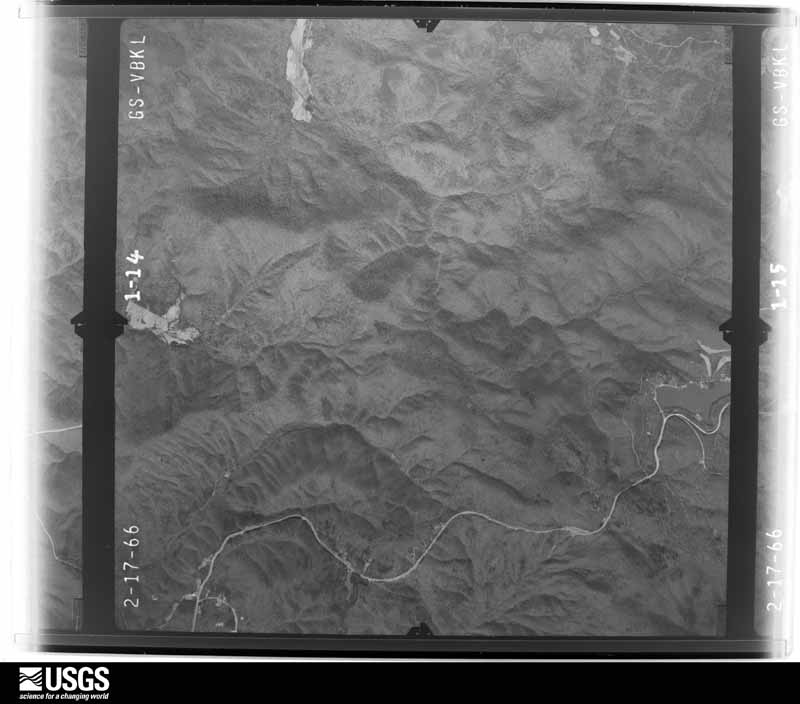
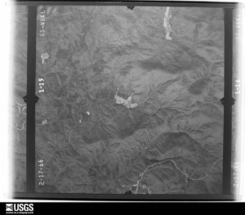
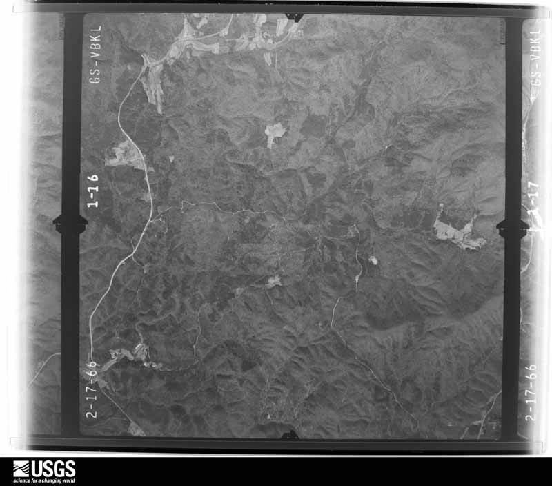
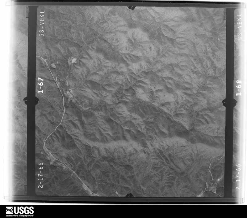
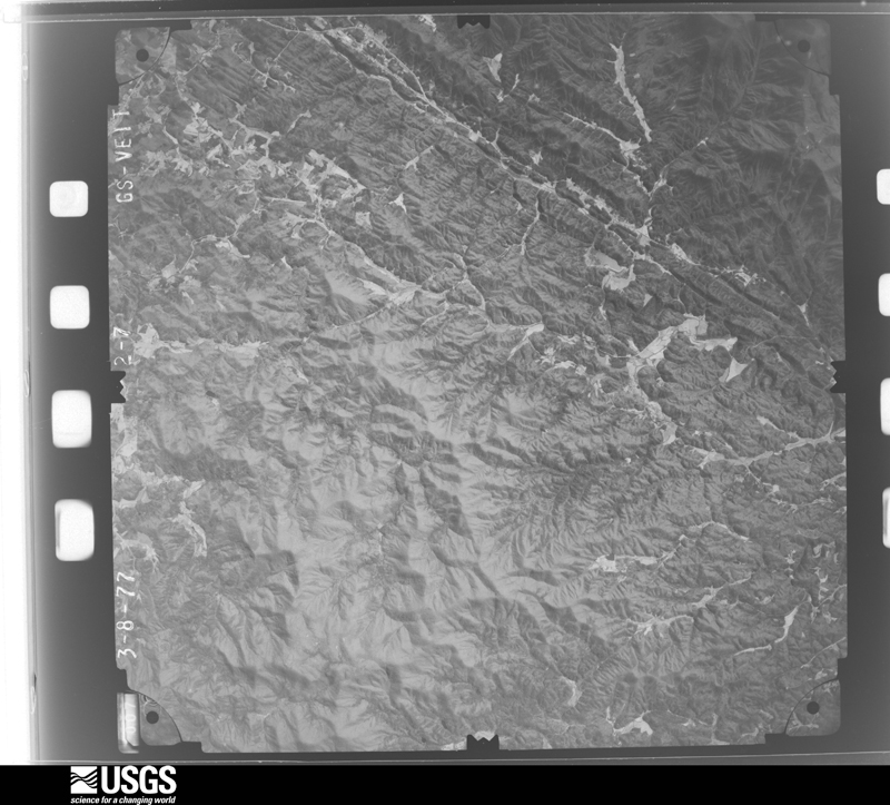
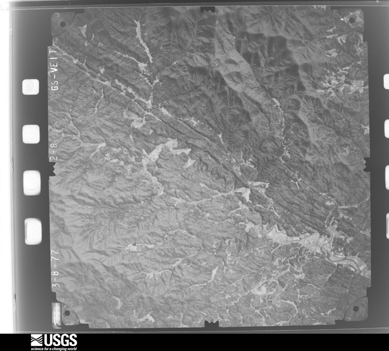
The thermometers that kept this county's weather, and the gages that measured the flow of its streams, as the federal records hold them. The extremes below are measured values from those records, not estimates.
Who lived here in 1950, one enumeration district at a time, as the Census Bureau described each district. Each row opens its official National Archives result, with Population Schedules and ED Maps available there.
Every wildfire the federal occurrence database records inside this county: 756 of them, burning about 6,919 acres. 26 started naturally and 197 were recorded as arson. Each settlement page carries the fires within five miles of it.
| Reported cause | Fires |
|---|---|
| Debris and open burning | 408 |
| Arson/incendiarism | 197 |
| Missing data/not specified/undetermined | 60 |
| Natural | 26 |
| Smoking | 26 |
| Recreation and ceremony | 16 |
| Equipment and vehicle use | 13 |
| Misuse of fire by a minor | 8 |
| Other causes | 1 |
| Power generation/transmission/distribution | 1 |
The five largest, by the area the report gives. Four of them were set deliberately.
| Date | Cause | Size | Reported by | Name on the report |
|---|---|---|---|---|
| 16 November 1999 | Arson/incendiarism | 1,010 acres | Chattahoochee-Oconee National Forest | BIG CREEK |
| 12 May 2007 | Natural | 965 acres | Chattahoochee-Oconee National Forest | PLEASANT HILL |
| 16 November 1999 | Arson/incendiarism | 680 acres | Chattahoochee-Oconee National Forest | STANLEY GAP#1 |
| 16 November 1999 | Arson/incendiarism | 500 acres | Georgia Forestry Commission | not named |
| 1 April 2010 | Debris and open burning | 404 acres | Chattahoochee-Oconee National Forest | BUSHY HEAD |
| 16 November 1999 | Arson/incendiarism | 180 acres | Chattahoochee-Oconee National Forest | STANLEY GAP#2 |
| 23 March 1999 | Debris and open burning | 170 acres | Chattahoochee-Oconee National Forest | FLAT BRANCH |
| 2 November 2003 | Smoking | 150 acres | Chattahoochee-Oconee National Forest | TICKANETLEY |
Every settlement page carries the fires within five miles of it - see the settlement index below.
The NOAA Storm Events Database holds 241 reports for this county, causing 1 death, 10 injuries and about $18,217,750 in recorded property damage. Each settlement page carries the reports that name it.
| Kind of event | Reports |
|---|---|
| Thunderstorm Wind | 126 |
| Hail | 58 |
| Flash Flood | 29 |
| Tornado | 17 |
| Lightning | 7 |
| Heavy Rain | 2 |
| Flood | 1 |
| Debris Flow | 1 |
The most serious of them, by death, then injury, then recorded damage. The accounts are quoted exactly as the forecast office filed them.
| When | Event | Place named | Harm | What the report says |
|---|---|---|---|---|
| August 2000 | Lightning | Ellijay | 1 killed | Several Georgia newspapers reported that lightning struck and killed a 46-year old standing outside on the front porch of his home. The lightning bolt is believed to have traveled from a tall pine tree, approximately 10 feet away, through the ground, up through the man's body, and out his head. He was killed instantly. |
| March 1977 | Tornado (F2) | not stated | 4 hurt, $250,000 | no account filed |
| April 1974 | Tornado (F2) | not stated | 3 hurt, $2,500,000 | no account filed |
| April 2015 | Thunderstorm Wind | Tails Creek | 2 hurt | The Gilmer County Emergency Manager reported trees and power lines down on Ridgeway Church Road. |
| July 2003 | Flash Flood | Ellijay | 1 hurt, $1,000,000 | The Gilmer county 911 center, along with the Times Courier of Ellijay, reported that excessive rainfall of three to seven inches in a one to three hour period had resulted in extensive flooding, especially along and near Georgia Highway 52 from Ellijay to Cartecay. Oiltown, Turkey, Clear, and Harris Branch Creeks had all quickly risen well out of their banks flooding out adjacent areas, several roads and bridges, and some homes. Major flooding was also reported on the Coosawattee River as it flows toward Carters Lake. Several people in the area had to be rescued from flood waters. Several roads and bridges in the area were washed out and many had to be closed. At least one home and a church were washed away by the raging flood waters of the Harris Branch Creek. The House of Prayer Chapel on Georgia Highway 382 was completely lifted from its foundation, turned sideways, and moved more than 20 feet down the river. Another log home nearby, also along Harris Branch Creek, was likewise removed from its foundation, at which point it crumbled apart as it was swept down the flooded creek. One person, who was in the home at the time, rode the home down the river for nearly an hour before she was able to escape from a second story window with just minor injury. The home was reduced to splinters shortly thereafter. In Cartecay, the Cartecay Townhouses were flooded as well as 12 mobile homes in the Maple Village Mobile Home Park. There were numerous reports of automobiles, trees, parts of homes, decks, and even appliances such as refrigerators being washed down the Coosawattee river toward Carters Lake. Several people in the area had to be rescued from flood waters. As many as 50 people had to take shelter in the Gilmer County Highschool. |
| September 2004 | Flash Flood | Countywide | $2,800,000 | The Gilmer County Emergency Manager, along with local newspapers and the public, reported extensive, and widespread to catastrophic flooding throughout much of the county. More than a foot of rain fell in parts of Gilmer county in association with the remnants of Hurricane Ivan during a six to eight hour period in the afternoon and evening hours of September 16th. Ten to 12 inches of rain was common across the county. Catastrophic flooding was reported along the Cartecay River, which in some areas exceeded the 500-year flood plain level. Several homes and vehicles were washed away when the river reached these levels. Major flooding was also reported on the Coosawattee River and Cox Creek as well. Several homes and vehicles along the banks of the Coosawattee River were also washed away. The Coosawattee River crested at 17.3 feet around midnight on the 17th, which is several feet above bankfull. All together across the county, 35 homes were flooded or destroyed, 12 to 18 mobile homes in the Maple Village Mobile Home Park were either destroyed or washed away by flooding, at least five recreational vehicles and several other vehicles were swept away by flood waters. Fourteen families in the county lost everything to the floods. Roads and bridges also suffered significant structural damage. Three bridges were washed away or suffered major damage, including Clear Creek Bridge which collapsed. A 25 foot section of the driveway leading from Georgia Highway 282 to the Courier Dye plant was washed away. Other buildings and locales suffered damage from the extensive flooding, including the Ellijay Lions Building, a Civil War Memorial, and another Veterans Memorial. |
| July 2012 | Thunderstorm Wind | Tails Creek | $1,750,000 | The Gilmer County Emergency Manager reported that at least 50 trees were blown down, mainly along and near Carters Lake. The Carters Lake Marina was also damaged, with the roof of one of the covered docks completely collapsed, and many others had tin sheeting peeled from the roofs. One of the ramps was snapped and boards along the walkways were buckled. Almost a million dollars in damage was done to the marina alone. Numerous boats sustained minor to moderate damage, and some were blown off the lake. Several campers also sustained minor damage; some were blown over and others were damaged when trees fell on them. Gazebos, tents, and awnings were blown away as well. Five- to six-foot waves were observed on the lake during the storm. No injuries were reported. |
| August 2013 | Flash Flood | Cartecay | $1,500,000 | The stage height of a USGS stream gage on the Cartecay River near East Ellijay reached flood stage of 7 feet. The river crest at 10.2 feet causing significant flooding. The Gilmer County emergency manager indicated around 7 roads were either flooded or damaged in the East Ellijay area by high water from the Cartecay River. Around 25 structures were flooded with some evacuations on White Water Lane, Bernhardt Road, River Lane and Riverside Drive. The East Ellijay Police Chief was injured by electric shock during an evacuation on Riverside Drive. A power line fell on the patrol car as it was passing through the flooded road. He was hospitalized and released a day or two later. |
| August 2013 | Flash Flood | Snider | $1,500,000 | The Gilmer County emergency manager reported a swift water rescue occurred at a home on Avery Drive in the Talona area. Several creeks in southeast Gilmer County such as Clear...Price...Fausett and Turkey Creeks flooded and washed out some roads and a few bridges. Multiple swift water rescues occurred with several evacuations of homes due to rapidly rising flood waters. Around 8 roads were either washed out or damaged...one bridge was washed out at Holt Road...around 25 structures were flooded with some washed off their foundations...8 people needed swift water rescues and 10 people were evacuated from structures. The Mountain Valley Farm Store and two large chicken houses off of Homer Wright Road were flooded and heavily damaged. It was estimated around 170,000 chickens were killed. The Georgia EPD condemned the area and had the chickens destroyed and properly buried. |
| December 2015 | Flash Flood | Elders | $1,100,000 | A USGS stream gauge on the Coosawattee River off Legion Road near Ellijay reached flood stage of 8 feet. The river crest at 13.9 feet. Major flooding affected around 45 homes and a few businesses in Ellijay with some evacuations. The Spring Ellijay Plant flooded and portions of the Pilgrims Pride Processing Plant parking lot were under 3 feet of water. The American Legion Post 82 building and the Georgia Power Substation next to the Post were flooded with around 3 feet of water. Most of the Harold Hefner River Park was flooded with a few feet of water. |
| April 2011 | Tornado (EF1) | Roundtop | $1,000,000 | A survey conducted by the National Weather Service Forecast Office in Peachtree City, Georgia in conjunction with the Gilmer County Emergency Management Director confirmed that a brief EF1 tornado, sandwiched between two microbursts, had touched down in west central Gilmer county approximately 3.5 miles southeast of Tails Creek or just northeast of Carters Lake and traveled east-northeast 2.6 miles before lifting. The maximum path width was determined to be 1/2 mile wide with maximum winds estimated to be 100 mph. Hundreds of trees were either blown down, uprooted, or snapped along the path of the tornado as it traveled through the Rose Garden subdivision. Approximately 100 homes in this area sustained at least minor damage as large trees fell on the structures. Several sustained major damage. There were reports from Atlanta television media that several people were trapped in their homes during this event, but this information was not confirmed. No injuries or fatalities were reported from this event.||[04/04-04/05/11: Tornado #1, County #1-1, EF1, Gilmer, 2011:003]. |
| May 2011 | Hail | Tails Creek | $775,000 | Numerous reports of large damaging hail from west of Tails Creek to northeast of Cherry Log were received from the Gilmer County Emergency Management Director, the public, and the Gilmer County 911 center. Quarter-sized hail was reported across the western part of the county from Tails Creek to northwest of Ellijay, as well as in Ellijay proper. As the storm moved into the northeast part of the county, the storm intensified producing golf ball to baseball-sized hail from just northeast of Ellijay to Cherry Log. The Gilmer County Emergency Management Director reported that baseball-sized hail caused considerable damage to vehicles along U.S. Highway 76/Georgia Highway 515 between Ellijay and Cherry Log, especially near White Path Road. Damage to homes was reported throughout the county. |
| April 2011 | Tornado (EF0) | Elders | $500,000 | A damage survey conducted by the National Weather Service Forecast Office in Peachtree City, Georgia in conjunction with the Gilmer County Emergency Management Director confirmed that a second EF0 tornado, again in combination with two brief microbursts, touched down approximately two miles north-northeast of Tails Creek almost simultaneously with the EF1 tornado that touched down southeast of Tails Creek. This tornado also had a path width of 1/2 mile with maximum winds estimated to be 80 mph. This EF0 tornado tracked 1.9 miles east-northeast before lifting. Again, several hundred trees were either blown over, uprooted, or snapped along the path of the tornado. The event likely consisted of two brief tornado segments either side of a longer lasting microburst. Six chicken houses were either destroyed or heavily damaged. A horse stable was also destroyed. Three outbuildings were also heavily damaged. No damage to homes was observed from this tornado.||[04/04-04/05/11: Tornado #2, County #1-1, EF0, Gilmer, 2011:004]. |
| May 2006 | Hail | Ellijay | $400,000 | Numerous reports of large hail were received from the Gilmer County Emergency Management Director and the public across Gilmer county as a thunderstorm with a large and long lasting swath of golf ball to baseball and orange-sized hail tracked from the northwest corner to the southeast corner of the county. Extensive damage to homes and vehicles was observed across much of the county. The Gilmer county Emergency Management Director reported that at least 70 homes in the Cartecay and Ellijay areas sustained significant damage from the hail, along with at least 45 vehicles and two pieces of county fire fighting equipment. Quarter to golf ball-sized hail was reported from north of Ellijay to well east of Ellijay. Golf ball to baseball-sized hail fell across areas southeast of Ellijay near Cartecay. At one location in southeast Gilmer county where 2.75 inch hail was reported, the public reported that the large hail put at least 20 holes in the metal roof of a building, some the size of a human fist. Both the metal and styrofoam insulation were completely penetrated by the large hailstones. A three inch hole was discovered in the shingles and plywood decking on the nearby house. The hail storm tracked roughly along Georgia Highway 52 from northwest to southeast. |
| December 2015 | Flash Flood | Ellijay | $300,000 | A USGS stream gauge on the Cartecay River off Georgia Highway 52 near East Ellijay reached flood stage of 7 feet. The river had the second highest crest in its history at 11.1 feet. Major flooding occurred upstream and downstream from the gauge which affected around 15 townhouses and homes on Riverside Drive with at least one foot of water. Also a large portion of Maple Village Mobile Homes Park flooded near the merger of the river and Owltown Creek. |
| July 2008 | Flood | Roosevelt | $250,000 | The Times Courier of Ellijay reported that heavy rain on the order of two to 2.5 inches in a one to two hour period resulted in flooding of a parking lot at the East Ellijay Food Lion, located between U.S. Highway 76 and Georgia Highway 515. The parking lot became inundated because of the heavy rain and poor drainage. Customers and employees were trapped inside the building by the rising water and had to be rescued by local emergency management personnel. Parts of the store were flooded as well. Thirty-two vehicles in the parking lot were submerged by the rising water. |
| February 1976 | Tornado (F1) | not stated | $250,000 | no account filed |
| March 1973 | Tornado (F1) | not stated | $250,000 | no account filed |
| July 2020 | Hail | Oakland | $200,000 | The Public reported hail the size of golf balls near the intersection of Highway 52 and Rackley Road. |
| December 2015 | Debris Flow | Conasauga | $200,000 | Rainfall amounts of 3 to 5 inches occurred in less than 12 hours over most of Gilmer County during the night and early morning hours. The heavy rain caused debris flows of mud which covered four roads and washed out four other roads. An additional 12 other roads were flooded for several hours. The flood waters from Cherry Log Creek surrounded three homes off of Joann Sisson Road which caused some evacuations. Water did not get into the three houses. |
| May 2011 | Hail | Ellijay | $200,000 | The public observed golf ball-sized hail between Tailes Creek and Mountaintown. |
| July 2018 | Thunderstorm Wind | Elders | $150,000 | A National Weather Service survey team found that very strong thunderstorm winds caused significant damage across southwestern Gilmer County along a path around 5 miles long and 3 miles wide. The damage began near the intersection of Highway 76 and Crossroads Church Road and extended east southeast to around the intersection of Old Highway 5 and Howard Simmons Road. Numerous trees and power lines were blown down or snapped with several falling on homes and other structures. Significant damage was observed in the Coosawattee River Resort area. No injuries were reported. |
| April 2009 | Hail | Carlisle | $100,000 | The Gordon County Emergency Management Director reported that golf ball-sized hail was observed near the Gordon/Gilmer county line to near the intersection of Georgia Highways 136 and 382. The public reported nickel-sized hail in the southeast part of the county, near Cartecay. Radar data supports nickel or larger sized-hail likely fell across much of southern Gilmer county. |
| April 2007 | Hail | Talona | $100,000 | Several reports of large hail were received from the public across southern and eastern Gilmer county. Golf ball-sized hail was reported two miles east of Talona, in Cartecay, and just northwest of Marion. Quarter to golf ball-sized hail was observed about two miles southeast of Ellijay. |
| December 2011 | Tornado (EF1) | Carlisle | $75,000 | The Gilmer County Emergency Management Director reported and the Cherokee County Emergency Management Director discovered an area of damage in southwest Gilmer county. The Cherokee County Emergency Management Director determined that the damage was the result of an EF1 tornado. The tornado touched down approximately four miles southeast of Carters (in Murray county) in far southwest Gilmer county near Georgia Highway 136. The tornado tracked on the ground, paralleling Georgia Highway 136, in an east-northeastward direction for only 1.5 miles before lifting near the intersection of Camp Branch Road and Georgia Highway 136. The damage path was determined to be 300 yards wide with maximum winds estimated to be 90 mph. The most significant damage resulting from the tornado was to the Shady Grove Church, which sustained minor damage from falling trees. No other structures were damaged. However, a total of at least 100 trees and six power poles were snapped or downed by the tornado.||[12/22/11: Tornado #3, County #1-1, EF1, Gilmer, 2011:029]. |
| September 2004 | Flash Flood | Ellijay | $75,000 | The Times Courier of Ellijay reported that heavy rain associated with Tropical Storm Frances, resulted in flash flooding that washed away part of a road and a home. The home was condemned and the residents were evacuated. |
| June 2014 | Tornado (EF0) | Roundtop | $50,000 | A National Weather Service survey team determined that a weak EF-0 tornado touched down just north of Round Top on Old Round Top Road, tracking eastward through the Rolling Meadows subdivision. The tornado nearly paralleled Old Round Top Road. Approximately 20 trees were either snapped or uprooted. A couple of trees were reported to have fallen on a house and some cars.|[06/05/14: Tornado #1, County #1-1, EF0, Gilmer, 2014:008]. |
| May 2003 | Flash Flood | Countywide | $50,000 | The Gilmer county 911 center reported that a number of roads in the county were flooded. The Times Courier of Ellijay reported that an earthen dam collapsed breaking a sewer pipe and sending flash flood waters into a portion of East Ellijay. Four residences were flooded as the water tore through the homes and yards in the area. Property damage was limited, but three trailers were damaged. Nearly 1000 gallons of sewage was released into the flood waters. A number of residents downstream of the dam were evacuated. Another small privately owned dam was also breached by water flowing over the dam. |
| September 1996 | Thunderstorm Wind | Ellijay | $50,000 | no account filed |
| June 2009 | Thunderstorm Wind | Ellijay | $45,000 | The Gilmer County Emergency Management Director reported that at least 40 trees were either uprooted or twisted across the county. Several power lines were also down. The roof was also ripped off an old fire station near Ellijay that had been converted into a parks and recreational building. Pea-sized hail was also observed during the thunderstorm. |
| January 2020 | Thunderstorm Wind | Elders | $30,000 | The Gilmer County Emergency Manager reported numerous trees and power lines blown down across the county in a swath at least 15 miles wide from northwest through southeast of Ellijay. |
| December 2015 | Flash Flood | Dyke | $30,000 | A USGS stream gauge on Fausett Creek at Yukon Road near Talking Rock reached flood stage of 10 feet. Record flooding of 17.8 feet occurred in the woodlands and pastures along the creek upstream and downstream from the gauge. The water level hit the road bed around 4 feet above the culvert and erosion occurred to the embankments on the south side of road. The old record was 17.0 feet on May 27, 1973. |
| January 2013 | Thunderstorm Wind | Tails Creek | $30,000 | The Gilmer County Emergency Manager reported that numerous trees and power lines were blown down across the western portion of the county. Two structures were damaged by falling trees. |
| May 2011 | Thunderstorm Wind | Ellijay | $30,000 | The public reported that at least 10 trees were snapped or uprooted between Tails Creek and Mountaintown, approximately five miles west-northwest of Ellijay. An outbuilding and a truck were damaged from downed trees. Most of this damage occurred in the Wildwood Subdivision on Honeysuckle Court. |
| April 2009 | Thunderstorm Wind | Ellijay | $30,000 | The Gilmer County Emergency Management Director reported that several trees were down across the county. Radar data suggest that the majority of the downed trees were in the southern half of the county. A roof was blown off a home northwest of Ellijay. |
| April 2006 | Hail | Cherry Log | $30,000 | The public reported golf ball-sized hail on U.S. Highway 76/Georgia Highway 515 near the Fannin county line. |
| June 2019 | Thunderstorm Wind | Elders | $25,000 | Reports were received over social media that trees and power lines were blown down along Hicks Ford Road and that the clock tower at the Clock Tower Center mall was blown down. |
| August 2013 | Flash Flood | Pleasant Valley | $25,000 | The Gilmer County emergency manager reported several creeks were out of their banks in the south portion of the county and causing flooding on Knight Road...Talona Road...Whitestone Road between Georgia Highways 5 and 515...Roundtop Road...Holder Road...Raven Cliff Road and Leeches Road. The stage height of a USGS stream gage on the Fausett Creek at Yukon Road northeast of Talking Rock reached flood stage of 10 feet. The creek crest at 12.9 feet and caused minor flooding of creek access roads...woodlands and fields. |
| January 2013 | Tornado (EF1) | Ai | $25,000 | An EF-1 tornado touched down off of Chapman Drive and snapped or uprooted hundreds of softwood and hardwood trees as it moved northeast. Eight power poles were snapped in the Bushyhead Road area. Up to 12,000 people were without power. Maximum wind speeds in Gilmer County were up to 90 MPH. The tornado then moved into Fannin County.|[01/30/13: Tornado #2, County #1-2, EF1, Gilmer-Fannin, 2013:002]. |
| September 2010 | Lightning | Ellijay | $25,000 | The Gilmer County 911 Center reported that a lightning strike caused a fire at the Gilmer County Water pump station in Ellijay. One tree was also blown down in the area. |
| August 2003 | Lightning | Ellijay | $25,000 | The Gilmer county 911 center reported that lightning struck a home near Walnut Mountain and set it on fire. Damage estimates were inconclusive. |
| March 2021 | Thunderstorm Wind | Conasauga | $20,000 | The GDOT and the public reported trees and power lines blown down from around the intersection of Chatsworth Highway and Pleasant Hill Road to Ridge Road in the Mountaintown area. |
| May 2020 | Thunderstorm Wind | Tails Creek | $20,000 | The Gilmer County 911 center reported trees blown down onto a house in the 500 block of Eagle Mountain Drive. No injuries were reported. |
| January 1996 | Flash Flood | Countywide | $20,000 | no account filed |
| March 2008 | Thunderstorm Wind | Talona | $15,000 | The Gilmer County 911 Center reported that a number of trees were blown down across the county, but especially the southern sections. In addition, two buildings sustained minor roof damage six miles south of Ellijay between Talona and Cartecay. |
| August 2020 | Flash Flood | Ellijay Gilmer Co Ar | $12,000 | The Emergency Manager reported flash flooding at the 2500 block of Knight Road. Increased streamflow in Flat Creek caused the erosion of soil under the road surface, requiring repairs. Radar estimates indicate that 2.5 to 4 inches of rain quickly fell over the area, causing the creek to rise. |
| March 2025 | Thunderstorm Wind | Cherry Log | $10,000 | Report of 5 trees down on the property of one house in cherry log. the gutters were torn off of the house. |
| July 2023 | Thunderstorm Wind | Roosevelt | $10,000 | Widespread downed trees reported county wide. |
| July 2018 | Flash Flood | Kiker | $10,000 | Gilmer County Emergency Management reported water and mud inside the American Legion Post off Legion Road. Radar estimates indicate up to 3 inches of rain occurred in less than two hours. |
| July 2017 | Lightning | Elders | $10,000 | The Gilmer County Emergency Manager reported a house fire caused by lightning on Hickory Lane. |
| July 2017 | Thunderstorm Wind | New Hope | $10,000 | The Gilmer County Emergency Manager reported numerous trees blown down in the Ellijay area, including along Lee Pritchett Road and along Highway 52 at Roberts Ridge Road, Hancock Drive and the Highway 76 Bypass. |
| July 2015 | Thunderstorm Wind | Burnett | $10,000 | The Gilmer County Emergency Manager reported numerous trees and power lines blown down around Boardtown Road and Whitepath Road. |
| April 2015 | Thunderstorm Wind | Pike | $10,000 | The Gilmer County Emergency Manager reported multiple trees and power lines down, and 1100 customers without power, in the eastern portion of the county. Trees were down in Cherry Log and were blocking Roy Road and Big Creek Road. |
| August 2014 | Thunderstorm Wind | Ellijay | $10,000 | The Gilmer County Emergency Manager reported trees down countywide. Roads were blocked and trees had fallen on houses. Multiple power outages also reported. |
| April 2011 | Thunderstorm Wind | Tails Creek | $10,000 | The Gilmer County 911 Center reported that a number of trees and several power lines were down throughout the county, even outside the two areas in the west central part of the county affected by tornadoes. |
| June 2011 | Thunderstorm Wind | Conasauga | $10,000 | The Gilmer County 911 Center reported that more than a dozen trees were down throughout the county, including the Ellijay area. |
| August 2003 | Flash Flood | East Central Portion | $10,000 | The Gilmer county 911 center reported that several creeks in the eastern portion of the county, particularly Big Creek, had risen well out of their banks as a thunderstorm with torrential rainfall persisted over the area during the evening. Big Creek Road southwest of Big Creek was flooded and closed, along with several homes in the area southwest of Big Creek. |
| May 2003 | Flash Flood | Ellijay | $10,000 | The Gilmer county 911 center reported that several roads between Ellijay and the Carters Lake are were flooded, and one road was washed out. |
| July 2017 | Thunderstorm Wind | Ellijay Gilmer Co Ar | $9,000 | The Gilmer County 911 center reported trees and power lines blown down from southwest through east of Ellijay. Locations include Snow Mountain Lane, White Path Springs Road, Roy Road at Southern Road, and Big Creek Road at Holt Bridge Road. |
| July 2018 | Thunderstorm Wind | Licklog | $8,000 | The Gilmer County Emergency Manager reported trees and power lines blown down, blocking the roadway, along Highway 52 near Mountain Ash Road. |
The Survey's mineral resources record lists 38 workings inside this county. 5 still produce and 33 are closed or unrecorded. Each settlement page carries the workings within five miles of it.
| Commodity | Workings |
|---|---|
| Iron | 17 |
| Gold | 7 |
| Stone, Crushed/Broken | 6 |
| Marble, Dimension | 5 |
| Manganese | 3 |
| Talc-Soapstone | 1 |
| Iron, Manganese | 1 |
The least common of them first, because a county's hundredth gravel pit says nothing its first ten did not.
| Where | Site | Commodity | Status | Recorded |
|---|---|---|---|---|
| Searcy Property | Iron, Manganese | Prospect | 1919 | |
| Wishon Talc Mine | Talc-Soapstone | Past Producer | ||
| A.J.Pinson Property | Iron, Manganese | Occurrence | ||
| Davis Prospects | Manganese | Past Producer | 1919 | |
| Searcy Property | Iron, Manganese | Past Producer | Residual | |
| Holt Property | Marble, Dimension | Occurrence | ||
| Lacey Property | Marble, Dimension | Prospect | ||
| Lots 142 & 143 | Marble, Dimension | Prospect | ||
| Unnamed Marble Mine | Marble, Dimension | Past Producer | ||
| Whitaker Property | Marble, Dimension | Prospect | ||
| Gilmer County Quarry No. 1 | Stone, Crushed/Broken | Producer | ||
| Gilmer County Quarry No. 2 | Stone, Crushed/Broken | Past Producer | ||
| Mill No 1 Ga Marble Co | Stone, Crushed/Broken | Producer | ||
| Mill Nos 2 & 3 Ga Marble Co | Stone, Crushed/Broken | Plant | ||
| Mine No. 1 | Stone, Crushed/Broken | Producer | ||
| Mine Number 2 | Stone, Crushed/Broken | Producer | ||
| Cartecay Mine (Lucky Eight) | Gold | Past Producer | Stream Placer | |
| Holt | Gold | Prospect | Placer | |
| Turkey Pen | Gold | Prospect | Placer | |
| Unknown | Gold | Past Producer | Stream Placer | |
| Whitaker | Gold | Prospect | Placer | |
| White Path | Gold | Past Producer | Stream Placer | |
| White Path Quarry | Gold | Past Producer | ||
| Cartecay Iron Property | Iron | Past Producer | ||
| Davis Property | Iron | Past Producer | Residual | |
| E.B.Griffin Property | Iron | Occurrence | ||
| Ellijay Mining Company Property | Iron | Past Producer | ||
| Georgia-Tioga Iron Co. Mine | Iron | Past Producer | Residual | |
| Georgia-Tioga Iron Company Mine | Iron | Past Producer | ||
| Haley Property | Iron | Past Producer | Residual | |
| Haley Property | Iron | Past Producer | ||
| Mrs Will Rolston Property | Iron | Prospect | ||
| T.W.Craigo Property | Iron | Past Producer | ||
| Tioga Iron Co Mine | Iron | Past Producer | ||
| Unnamed, Ellijay Area | Iron | Past Producer | Residual | |
| Unnamed, Ellijay Area-A | Iron | Past Producer | Residual | |
| W.A.Davis Property | Iron | Occurrence | ||
| W.H.Eller Property | Iron | Prospect |
Named settlements recorded in the Geographic Names Information System, each with the topographic sheets covering it. Villages, hamlets and abandoned places alike. Each is shown with the nearest named watercourse or landform and the survey quadrangle it falls on. The 1 place that was also surveyed for fire insurance comes first, with the number of atlases and photographs held for them.
Ellijay census division · 30540 · On Cartecay River · Ellijay quadrangle
17 sheets, 1888 to 1981
Fire insurance: 1 atlas
North Gilmer census division · 30540 · Near Cashes Valley · Cashes Valley quadrangle
23 sheets, 1888 to 1988
Rich Mountain census division · 30536 · On Butler Creek · Tickanetley quadrangle
22 sheets, 1888 to 1988
North Gilmer census division · 30522 · On Allen Branch · Cashes Valley quadrangle
23 sheets, 1888 to 1988
Carters Lake census division · 30175 · Near Pine Mountain · Talking Rock quadrangle
20 sheets, 1886 to 1981
No longer a settlement
South Gilmer census division · 30536 · On Licklog Creek · Ellijay quadrangle
17 sheets, 1888 to 1981
Rich Mountain census division · 30522 · On Little Rock Creek · Cashes Valley quadrangle
23 sheets, 1888 to 1988
North Gilmer census division · 30540 · On Amy Creek · Cashes Valley quadrangle
23 sheets, 1888 to 1988
North Gilmer census division · 30540 · On Stillhouse Branch · Dyer Gap quadrangle
23 sheets, 1886 to 1988
No longer a settlement
Rich Mountain census division · 30513 · On Bearden Creek · Tickanetley quadrangle
22 sheets, 1888 to 1988
South Gilmer census division · 30536 · On Turkey Creek · Dyke quadrangle
18 sheets, 1888 to 1981
Ellijay census division · 30540 · On Cartecay River · Ellijay quadrangle
17 sheets, 1888 to 1981
North Gilmer census division · 30540 · On Flat Branch · Webb quadrangle
19 sheets, 1886 to 1981
Ellijay census division · 30540 · Near Talona Mountain · Ellijay quadrangle
17 sheets, 1888 to 1981
North Gilmer census division · 30540 · Near Jackson Hollow · Cashes Valley quadrangle
23 sheets, 1888 to 1988
South Gilmer census division · 30175 · On Fausett Creek · Talking Rock quadrangle
20 sheets, 1886 to 1981
No longer a settlement
North Gilmer census division · 30522 · On Rock Creek · Cashes Valley quadrangle
23 sheets, 1888 to 1988
North Gilmer census division · 30522 · On Allen Branch · Cashes Valley quadrangle
23 sheets, 1888 to 1988
No longer a settlement
North Gilmer census division · 30540 · On Amy Creek · Cashes Valley quadrangle
23 sheets, 1888 to 1988
No longer a settlement
Rich Mountain census division · 30536 · Amicalola quadrangle
17 sheets, 1888 to 1981
No longer a settlement
North Gilmer census division · 30522 · On Saltpeter Creek · Cashes Valley quadrangle
23 sheets, 1888 to 1988
Rich Mountain census division · 30536 · On Weaver Creek · Tickanetley quadrangle
22 sheets, 1888 to 1988
North Gilmer census division · 30540 · On East Mountaintown Creek · Dyer Gap quadrangle
23 sheets, 1886 to 1988
North Gilmer census division · 30540 · On Whitepath Creek · Ellijay quadrangle
17 sheets, 1888 to 1981
Rich Mountain census division · 30536 · On Licklog Creek · Ellijay quadrangle
17 sheets, 1888 to 1981
North Gilmer census division · 30540 · On John Rogers Creek · Webb quadrangle
19 sheets, 1886 to 1981
Rich Mountain census division · 30536 · Ellijay quadrangle
17 sheets, 1888 to 1981
No longer a settlement
Rich Mountain census division · 30536 · Near Riley Mountain · Tickanetley quadrangle
22 sheets, 1888 to 1988
North Gilmer census division · 30540 · On John Rogers Creek · Dyer Gap quadrangle
23 sheets, 1886 to 1988
Rich Mountain census division · 30536 · Near George Mountain · Tickanetley quadrangle
22 sheets, 1888 to 1988
North Gilmer census division · 30540 · On Demps Creek · Webb quadrangle
19 sheets, 1886 to 1981
No longer a settlement
Rich Mountain census division · 30536 · On Anderson Creek · Tickanetley quadrangle
22 sheets, 1888 to 1988
Carters Lake census division · 30540 · On Flat Branch · Webb quadrangle
19 sheets, 1886 to 1981
Rich Mountain census division · 30536 · Near Kimmons Mountain · Tickanetley quadrangle
22 sheets, 1888 to 1988
North Gilmer census division · 30540 · On Bryant Creek · Cashes Valley quadrangle
23 sheets, 1888 to 1988
South Gilmer census division · 30536 · Amicalola quadrangle
17 sheets, 1888 to 1981
No longer a settlement
Rich Mountain census division · 30522 · On Long Branch · Tickanetley quadrangle
22 sheets, 1888 to 1988
No longer a settlement
North Gilmer census division · 30540 · Near Brushy Top · Webb quadrangle
19 sheets, 1886 to 1981
South Gilmer census division · 30175 · On Pickett Branch · Talking Rock quadrangle
20 sheets, 1886 to 1981
Rich Mountain census division · 30536 · On Garrett Branch · Tickanetley quadrangle
22 sheets, 1888 to 1988
South Gilmer census division · 30175 · Near Talona Mountain · Talking Rock quadrangle
20 sheets, 1886 to 1981
Carters Lake census division · 30175 · On Pickett Branch · Talking Rock quadrangle
20 sheets, 1886 to 1981
Rich Mountain census division · 30536 · Near Walnut Mountain · Ellijay quadrangle
17 sheets, 1888 to 1981
No longer a settlement
Ellijay census division · 30540 · Near Talona Mountain · Webb quadrangle
19 sheets, 1886 to 1981
North Gilmer census division · 30540 · Near Leading Ridge · Cashes Valley quadrangle
23 sheets, 1888 to 1988
South Gilmer census division · 30536 · Near Talona Mountain · Ellijay quadrangle
17 sheets, 1888 to 1981
The vanished settlements of Gilmer County: the places named above that are no longer on the map.