 Block
Gass, Georgia
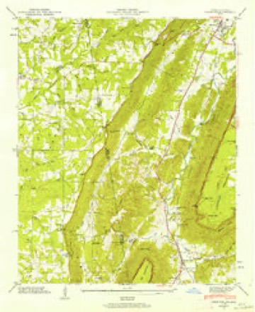
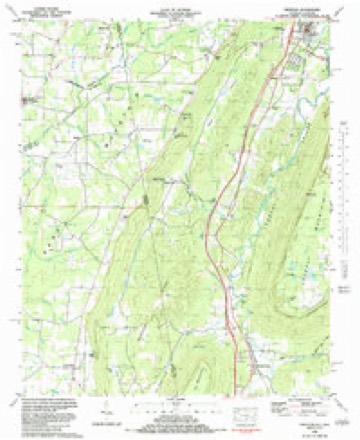
23 topographic sheets cover this place, the earliest surveyed in 1886 and the latest in 1982. It stands in the Sand Mountain census division. It lies in ZIP code area 30752. It stands on Big Spring Branch. The Survey maps it on the Trenton quadrangle.
Topographic sheets covering this place
11 surveys from 23 printed sheetsMatched by testing this settlement's coordinate against the published boundary of every sheet in the United States Geological Survey's historical collection. Each opens the scanned sheet at the Survey.
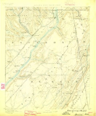
- 1886 USGS Stevenson quadrangle1:125000
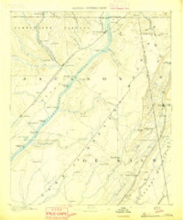
- 1892 USGS Stevenson quadrangle1:125000
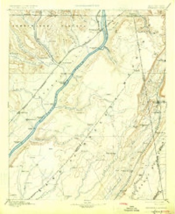
- 1895 USGS Stevenson quadrangle1:125000, 6 printings
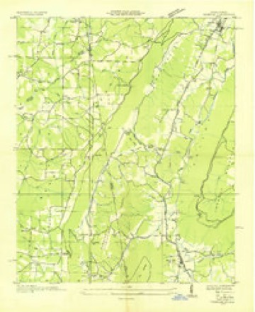
- 1936 USGS Trenton quadrangle1:24000
- 1946 USGS Trenton quadrangle1:24000, 5 printings
- 1955 USGS Rome quadrangle1:250000
- 1958 USGS Rome quadrangle1:250000, 3 printings
- 1961 USGS Rome quadrangle1:250000
- 1963 USGS Rome quadrangle1:250000
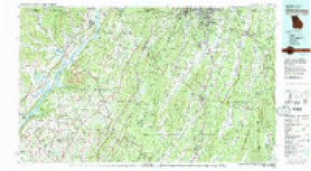
- 1981 USGS Chickamauga quadrangle1:100000, 2 printings
- 1982 USGS Trenton quadrangle1:24000




Fires near this place
497 since 1992Regional context, not property-specific evidence. The federal wildfire occurrence database lists 497 fires within 5 miles of Gass between 1992 and 2020, burning about 2,588 acres in total. 1 started naturally. 118 were recorded as arson. Distance is straight-line from the map coordinates, so a fire counted here may appear on a neighbouring settlement's page as well.
| Reported cause | Fires |
|---|---|
| Debris and open burning | 293 |
| Arson/incendiarism | 118 |
| Missing data/not specified/undetermined | 39 |
| Equipment and vehicle use | 26 |
| Recreation and ceremony | 9 |
| Misuse of fire by a minor | 5 |
| Smoking | 4 |
| Railroad operations and maintenance | 2 |
| Natural | 1 |
The most recent of them, most recent first, with the day each was reported and the service that recorded it.
| Date | Cause | Size | Reported by | Name on the report |
|---|---|---|---|---|
| 7 September 2019 | Debris and open burning | under an acre | Georgia Forestry Commission | FY2020DADE005 |
| 7 September 1998 | Arson/incendiarism | 1.0 acres | Alabama Forestry Commission | not named |
| 6 September 2010 | Debris and open burning | under an acre | Georgia Forestry Commission | FY2011-DADE-002 |
| 6 September 2002 | Debris and open burning | under an acre | Georgia Forestry Commission | FY2003-DADE-006 |
| 5 September 2002 | Debris and open burning | under an acre | Georgia Forestry Commission | FY2003-DADE-005 |
| 30 September 2008 | Arson/incendiarism | under an acre | Georgia Forestry Commission | not named |
| 30 September 2007 | Equipment and vehicle use | 1.5 acres | Georgia Forestry Commission | not named |
| 30 September 2007 | Arson/incendiarism | 1.0 acres | Georgia Forestry Commission | not named |
Settlements close enough to share some of these fires:
Mines and quarries near this place
4 within 5 milesRegional context, not property-specific evidence. The federal mineral resources record lists 4 workings within 5 miles of Gass: 4 past producers. None of them still produces. What was taken out: Iron. Distance is straight-line from the map coordinates, so a quarry counted here may appear on a neighbouring settlement's page as well.
| Where | Site | Commodity | Status | Recorded |
|---|---|---|---|---|
| Phoenix Iron & Coal Mines | Iron | Past Producer | Strataform, Concordant | |
| Sutton & Austin Mines | Iron | Past Producer | Strataform, Concordant | |
| Unnamed, Lot 251, 10th District | Iron | Past Producer | Strataform, Concordant | |
| Unnamed, Lot 37, 11th District | Iron | Past Producer | Strataform, Concordant |
Storms near this place
9 since 2011Regional context, not property-specific evidence. The National Weather Service names Gass in 9 storm reports between 2011 and 2024: 5 thunderstorm wind, 3 tornado, 1 hail. The reports record 2 deaths and 25 injuries. Each account below is quoted exactly as the forecast office filed it, from the NOAA Storm Events Database, and each date opens the federal record of that event.
| When | Event | Place named | Harm | What the report says |
|---|---|---|---|---|
| April 2011 | Tornado (EF3) | Gass | 2 killed, 25 hurt, $20,000,000 | A damage survey conducted by the National Weather Service Forecast Office in Peachtree City confirmed that an EF3 tornado, which originated in DeKalb county, Alabama, continued on an east-northeast track into and across central Dade county, Georgia and further east-northeast into Walker county before lifting just west of Fort Oglethorpe. The tornado path length within Dade county, Georgia was approximately 9.5 miles, while the path length within Georgia was 18 miles long. The tornado was determined, within Georgia, to have a maximum path width of 0.6 mile and maximum winds of 150 mph. The tornado tracked directly across the county seat of Dade county, namely Trenton. Trenton is also the largest city in Dade county. Portions of Trenton, especially the southern part of the city, were literally destroyed. Dozens of homes were completely destroyed. Eighteen more homes suffered major damage. Literally tens of thousands of trees were blown down, uprooted, or splintered. Some of the worst devastation was observed in the Black Valley Road area, including the Middleton Estates subdivision and along U.S. Highway 11 and Georgia Highway 136. Considerable damage was also noted to apartments and several commercial buildings as well. The Edgewood Townhouses and Village Green Apartments suffered extensive damage. Among commercial structures sustaining damages were the Moore and Ryan Funeral Home along with an Ingles Grocery Store. Two fatalities and 25 injuries occurred as a result of this tornado, mostly in Trenton.||[04/27-04/28/11: Tornado #2, County #1-2, EF2, Dade-Walker, 2011:011]. |
| April 2011 | Tornado (EF1) | Gass | $1,000,000 | A damage survey conducted by the National Weather Service Forecast Office in Peachtree City confirmed that an EF1 tornado had touched down approximately two miles south-southwest of Trenton and tracked north-northeastward nearly nine miles, lifting just before reaching the Tennessee border. This was the first of 15 tornadoes to touch down within the Peachtree City, Georgia forecast area during this historical tornado outbreak across the southern and eastern U.S. The maximum tornado path width was determined to be 100 yards wide with maximum wind gusts estimated to be 100 mph. Only very small portions of the tornado path were rated EF1, namely across Trenton and to the northeast near Lookout Mountain. The rest of the tornado path was rated an EF0. Several homes, mostly in the Trenton area, sustained minor damage as well as an elementary school and bank building on the south side of Trenton along Georgia Highway 136. In addition, dozens of trees were damaged along the path of the tornado.||[04/27-04/28/11: Tornado #1, County #1-1, EF1, Dade, 2011:010]. |
| April 2020 | Tornado (EF1) | Gass | $700,000 | A National Weather Service survey found that an EF1 tornado with maximum wind speeds of 100 mph and a maximum path width of 350 yards moved into Dade County from DeKalb County Alabama. The tornado crossed the Alabama-Georgia border at EF1 strength downing numerous trees as it moved east-northeast along Michaels Road and Brown Gap Cemetery Road. A home in this area received damage to the roof and to the columns on the front porch. The tornado continued northeast crossing Back Valley Road blowing down several trees on the Trenton Golf Club property. Along Highway 11, additional trees were blown down onto homes before the tornado moved into the city of Trenton. In Trenton, notable damage occurred along Glenview Drive where an RV was overturned and destroyed. Additional damage to trees was seen along Canyon Park Drive before the tornado lifted. In all, around 100 homes were damaged with a few destroyed. [04/12/20: Tornado #3, County #1/1, EF-1, Dade, 2020:009]. |
| May 2020 | Thunderstorm Wind | Gass | $6,000 | The Dade County 911 center reported several trees blown down across the northern half of the county, including around the intersection of Wells Road and Highway 301 west of Trenton; Burkhalter Gap Road near Scenic View Lane and Scenic Highway near Fox Trail Road east of Trenton; and Wawona Drive at Highway 11 near Wildwood. |
| January 2020 | Thunderstorm Wind | Gass | $5,000 | The Dade County Emergency Manager reported trees blown down from west of Trenton on Sand Mountain Highway to south of Trenton near I-59. |
| November 2016 | Thunderstorm Wind | Gass | $3,000 | The Dade County 911 center reported multiple trees blown along Gass Road in the vicinity of Highway 136. County Transportation crews were called out to clear the roadway. |
| May 2024 | Thunderstorm Wind | Gass | $1,000 | Em reported tree down at Back Valley Rd near Tanglewood Trl. |
| May 2024 | Thunderstorm Wind | Gass | $1,000 | Em reported tree down at Lyman Daniel Rd between Pebblebrook Ln and Carrell Rd. |
| October 2014 | Hail | Gass | - | The Dade County Emergency Manager posted pictures of quarter-sized hail that fell near Trenton on a county Emergency Management social media site. |
Nearest settlements
The eight closest, with where each one stands in the county. Distances are straight-line, computed from the Geographic Names Information System coordinates.
| Map | Place | Distance | Sheets |
|---|---|---|---|
| Avans | 1.5 miles | 25 | |
| Union | 1.8 miles | 23 | |
| Trenton | 2.2 miles | 23 | |
| Tatum (historical) | 2.5 miles | 23 | |
| Stewart Town | 3.0 miles | 23 | |
| Cedar Hill | 3.6 miles | 23 | |
| New England | 4.9 miles | 26 | |
| Plum Nelly | 6.0 miles | 25 |
Provenance
This settlement is recorded in the Geographic Names Information System as feature 331796. The sheet list is computed by point-in-boundary test against the United States Geological Survey's historical topographic inventory. Both are works of the United States government and carry no copyright under 17 U.S.C. 105.
Wildfire. Short, Karen C. 2022. Spatial wildfire occurrence data for the United States, 1992-2020 [FPA_FOD_20221014]. 6th Edition. Fort Collins, CO: Forest Service Research Data Archive. https://doi.org/10.2737/RDS-2013-0009.6 Collected with United States Government funding and usable without additional permissions or fees.
Mines and quarries. USGS Mineral Resources Data System (MRDS) https://mrdata.usgs.gov/mrds/ A work of the United States government, no copyright under 17 U.S.C. 105.
Storms. NOAA National Centers for Environmental Information, Storm Events Database https://www.ncei.noaa.gov/stormevents/ A work of the United States government, no copyright under 17 U.S.C. 105. Narratives are quoted verbatim from the National Weather Service report and are not edited or summarised.