 Block
From the record
2 National Register listings published here.
Sources: the National Register database, National Park Service
64 topographic sheets cover 19 settlements here, and 2 properties are on the National Register of Historic Places.
2 National Register listings published here.
Sources: the National Register database, National Park Service
Taken for the Office of War Information and the Farm Security Administration, who photographed the country between 1935 and 1944. Works of United States government photographers, with no known restriction on use. Each opens its catalogue record.
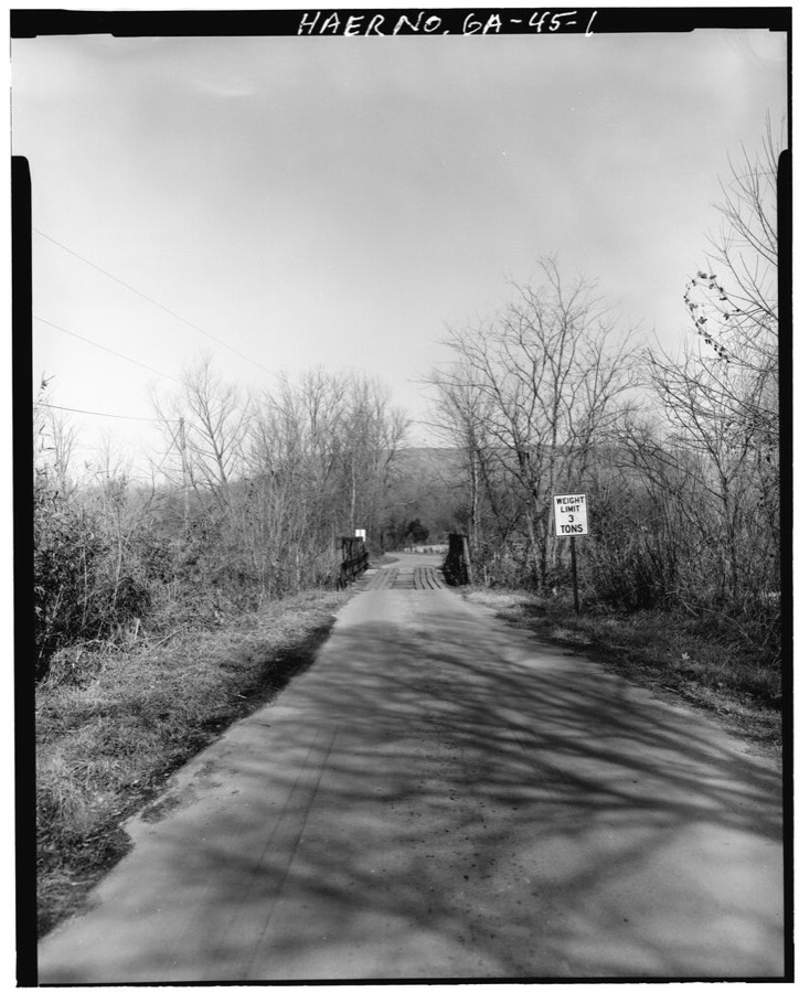
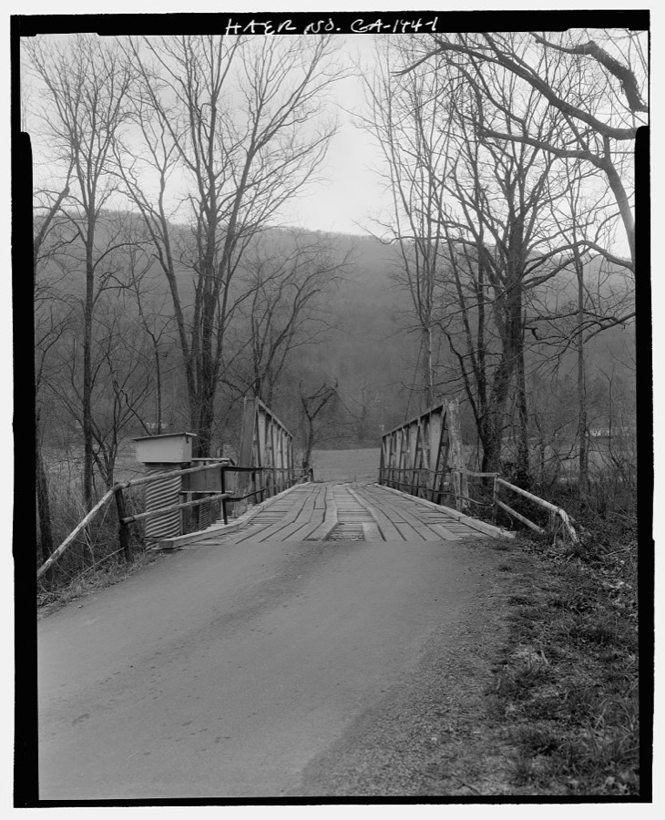
Every property in this county listed on the National Register of Historic Places, with the year it was listed and the federal nomination document.
| Photograph | Property | Type | Listed | Reference |
|---|---|---|---|---|
 | Dade County Courthouse | building | 1980 | 80001009 |
 | Lookout Mountain Hotel | building | 2019 | 100003423 |
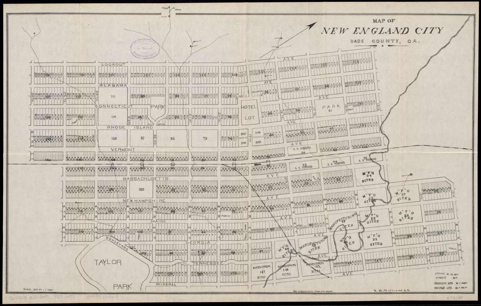
Selected from the Digital Public Library of America's 3 image records catalogued for this county. Every one shown here carries a public-domain status or a licence that permits reuse on a site that carries advertising; non-commercial, share-alike and restricted images are excluded. The selection is spread across the county's towns (at most eight per town), so no single institution's bulk upload crowds out the rest. Each opens the holding library's record, and the complete set at the Digital Public Library of America is one click away.
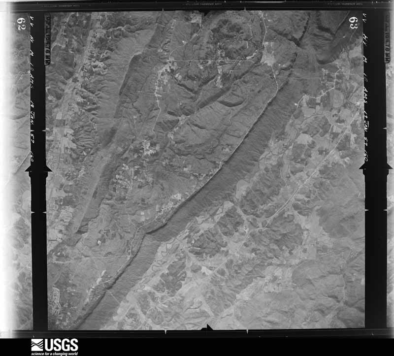
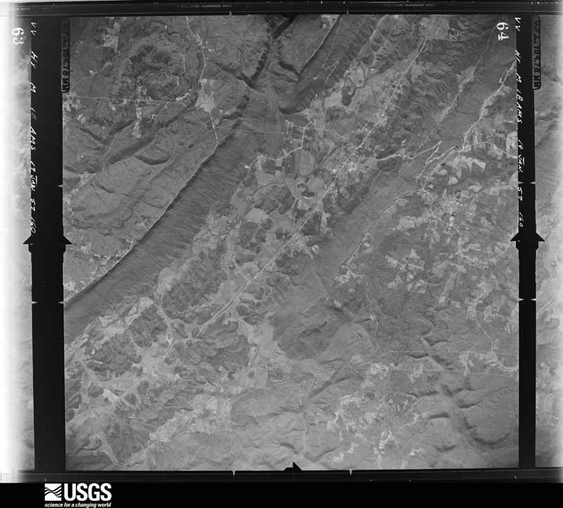
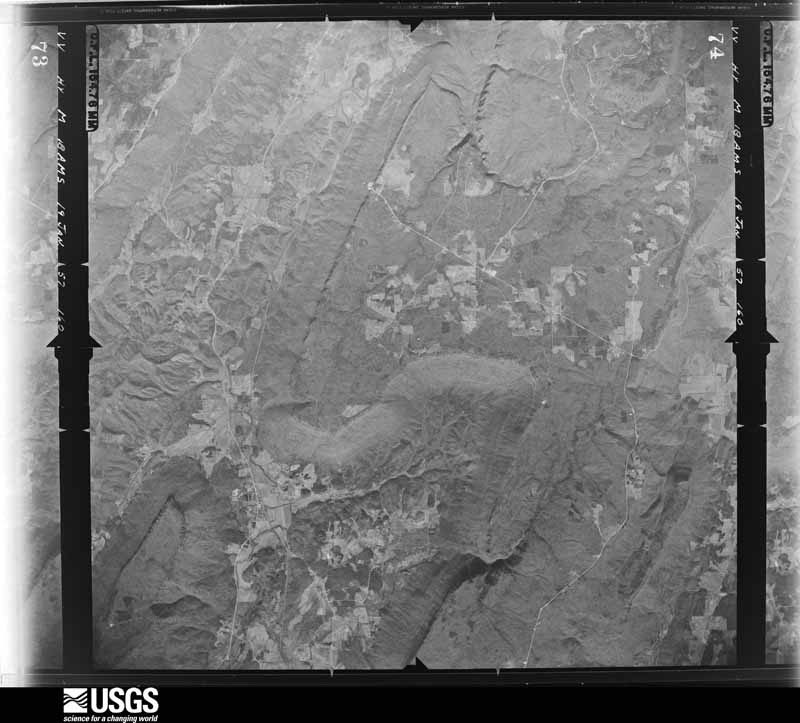
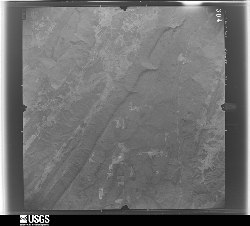
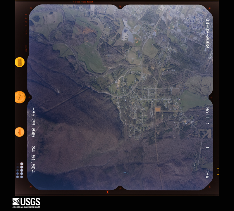
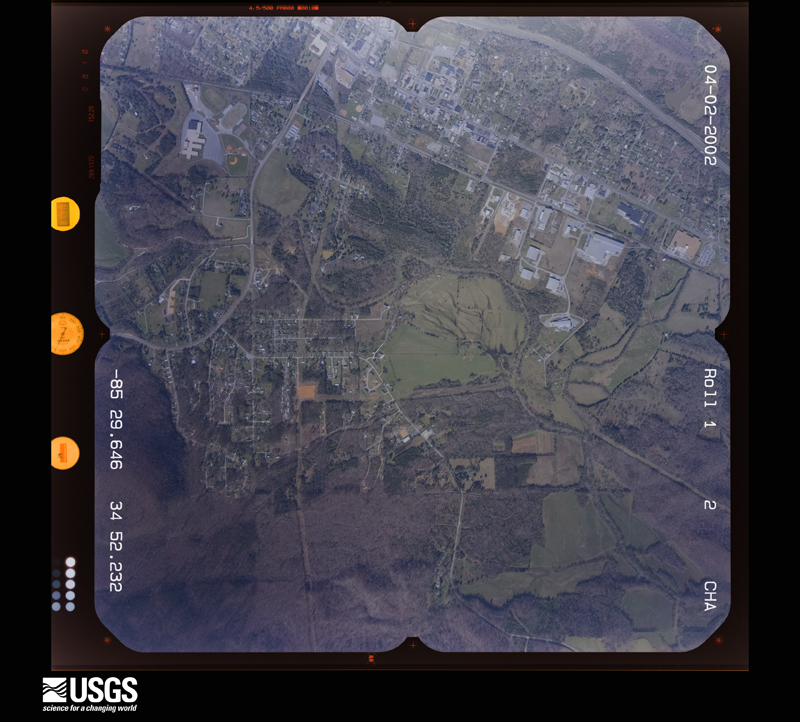
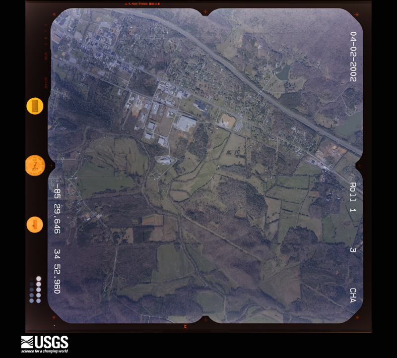
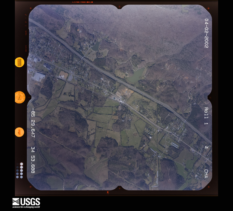
Flown by the U.S. Geological Survey between 1937 and 1989, the Aerial Photo Single Frames collection is the definitive mid-century view of the land: fields, roads and rivers as the camera saw them. The Survey holds 329 frames inside the rectangle that bounds this county; the 26 frames below were taken over the county itself, chosen across the decades of flights (at most four a year from that rectangle), so one flight cannot crowd out the rest. The full set is free to browse and download at EarthExplorer under the dataset Aerial Photo Single Frames.


















The thermometers that kept this county's weather, and the gages that measured the flow of its streams, as the federal records hold them.
Who lived here in 1950, one enumeration district at a time, as the Census Bureau described each district. Each row opens its official National Archives result, with Population Schedules and ED Maps available there.
Every wildfire the federal occurrence database records inside this county: 1,188 of them, burning about 20,816 acres. 5 started naturally and 334 were recorded as arson. Each settlement page carries the fires within five miles of it.
| Reported cause | Fires |
|---|---|
| Debris and open burning | 647 |
| Arson/incendiarism | 334 |
| Equipment and vehicle use | 63 |
| Missing data/not specified/undetermined | 44 |
| Recreation and ceremony | 36 |
| Railroad operations and maintenance | 32 |
| Misuse of fire by a minor | 16 |
| Smoking | 11 |
| Natural | 5 |
The five largest, by the area the report gives. Four of them were set deliberately.
| Date | Cause | Size | Reported by | Name on the report |
|---|---|---|---|---|
| 11 November 2016 | Debris and open burning | 2,836 acres | Georgia Forestry Commission | FY2017-DADE-043 |
| 4 October 2016 | Recreation and ceremony | 2,083 acres | Georgia Forestry Commission | FY2017-DADE-015 |
| 6 March 2012 | Arson/incendiarism | 1,167 acres | Georgia Forestry Commission | FY2012-DADE-028 |
| 14 February 2011 | Arson/incendiarism | 925 acres | Georgia Forestry Commission | FY2011-DADE-044 |
| 22 March 2009 | Arson/incendiarism | 890 acres | Georgia Forestry Commission | EGYPT HOLLOW 109 |
| 2 April 2010 | Debris and open burning | 787 acres | Georgia Forestry Commission | FY2010-DADE-021 |
| 14 March 2014 | Debris and open burning | 504 acres | Georgia Forestry Commission | FY2014-DADE-044 |
| 13 March 2014 | Arson/incendiarism | 408 acres | Georgia Forestry Commission | FY2014-DADE-042 |
Every settlement page carries the fires within five miles of it - see the settlement index below.
The NOAA Storm Events Database holds 222 reports for this county, causing 2 deaths, 29 injuries and about $27,271,250 in recorded property damage. Each settlement page carries the reports that name it.
| Kind of event | Reports |
|---|---|
| Thunderstorm Wind | 119 |
| Hail | 68 |
| Flash Flood | 19 |
| Tornado | 9 |
| Lightning | 3 |
| Heavy Rain | 2 |
| Flood | 1 |
| Winter Storm | 1 |
The most serious of them, by death, then injury, then recorded damage. The accounts are quoted exactly as the forecast office filed them.
| When | Event | Place named | Harm | What the report says |
|---|---|---|---|---|
| April 2011 | Tornado (EF3) | Gass | 2 killed, 25 hurt, $20,000,000 | A damage survey conducted by the National Weather Service Forecast Office in Peachtree City confirmed that an EF3 tornado, which originated in DeKalb county, Alabama, continued on an east-northeast track into and across central Dade county, Georgia and further east-northeast into Walker county before lifting just west of Fort Oglethorpe. The tornado path length within Dade county, Georgia was approximately 9.5 miles, while the path length within Georgia was 18 miles long. The tornado was determined, within Georgia, to have a maximum path width of 0.6 mile and maximum winds of 150 mph. The tornado tracked directly across the county seat of Dade county, namely Trenton. Trenton is also the largest city in Dade county. Portions of Trenton, especially the southern part of the city, were literally destroyed. Dozens of homes were completely destroyed. Eighteen more homes suffered major damage. Literally tens of thousands of trees were blown down, uprooted, or splintered. Some of the worst devastation was observed in the Black Valley Road area, including the Middleton Estates subdivision and along U.S. Highway 11 and Georgia Highway 136. Considerable damage was also noted to apartments and several commercial buildings as well. The Edgewood Townhouses and Village Green Apartments suffered extensive damage. Among commercial structures sustaining damages were the Moore and Ryan Funeral Home along with an Ingles Grocery Store. Two fatalities and 25 injuries occurred as a result of this tornado, mostly in Trenton.||[04/27-04/28/11: Tornado #2, County #1-2, EF2, Dade-Walker, 2011:011]. |
| April 2003 | Thunderstorm Wind | Trenton | 2 hurt, $100,000 | The Dade county Emergency Management Director reported that a microburst or downburst caused considerable damage to three structures on the west side of Trenton, as well as blowing down a number of trees and power lines in the area. A woman and her child were driving along Back Valley Road, just south of Georgia Highway 136 near Gass, when a tree broke off some 10 to 15 feet above the ground and fell on their minivan. The child was trapped in the vehicle and had to be rescued. Both received injuries from the incident. A third person was trapped in his vehicle at a MAPCO gasoline service station in Trenton when the awning from the station was ripped loose from the building, pinning the man in his vehicle. Although the man had to be rescued from his vehicle, he did not suffer any injuries. Along Georgia Highway 136 near Gass, west of Trenton, a fruit and vegetable stand suffered extensive damage. The facade of the main building of the business was destroyed. A secondary building, including its contents, was completely destroyed, and a carport structure, that was also part of the facility, was thrown across the highway by thunderstorm winds. Next door at a service station, one of the gasoline pumps was damaged, two windows were broken, and some of the goods inside were knocked over and damaged or destroyed. Behind the service station, a lumber and salvage yard also suffered damage from the thunderstorm winds. Metal was blown through the front door and some materials stacked up outside were either damaged or blown away. Although there were reports of funnel clouds and tornadoes in the area, the Dade Emergency Manager detected no rotation in the damage area and concluded that the damage was caused by a microburst, not a tornado. He indicated that the damage area was one-half to one mile long and all mostly within a 100 yard wide area. |
| April 1998 | Thunderstorm Wind | Trenton | 2 hurt, $75,000 | A downburst from a severe thunderstorm in the West Brow community destroyed one house, damaged another, and overturned a trailer. A man suffered a broken leg and his wife had cuts and bruises. Numerous trees were knocked down. A spotter reported dime size hail and winds estimated at 60 mph. |
| December 2015 | Flash Flood | Rising Fawn | $1,000,000 | The Dade County Emergency Manager reported a debris flow which blocked Burkhalter Gap Road. A portion of Newsome Gap Road in the same area washed out. |
| April 2011 | Tornado (EF1) | Gass | $1,000,000 | A damage survey conducted by the National Weather Service Forecast Office in Peachtree City confirmed that an EF1 tornado had touched down approximately two miles south-southwest of Trenton and tracked north-northeastward nearly nine miles, lifting just before reaching the Tennessee border. This was the first of 15 tornadoes to touch down within the Peachtree City, Georgia forecast area during this historical tornado outbreak across the southern and eastern U.S. The maximum tornado path width was determined to be 100 yards wide with maximum wind gusts estimated to be 100 mph. Only very small portions of the tornado path were rated EF1, namely across Trenton and to the northeast near Lookout Mountain. The rest of the tornado path was rated an EF0. Several homes, mostly in the Trenton area, sustained minor damage as well as an elementary school and bank building on the south side of Trenton along Georgia Highway 136. In addition, dozens of trees were damaged along the path of the tornado.||[04/27-04/28/11: Tornado #1, County #1-1, EF1, Dade, 2011:010]. |
| December 2015 | Flash Flood | Wildwood | $800,000 | A USGS stream gauge on the Lookout Creek at Creek Road or around 2 miles southeast New England reached a stage height of 16.7 feet. Significant flooding occurred when several small buildings near a hang gliding recreation park began to flood. Several roads in Dade county were closed including Sells Lane...Mason Road...and Creek Road. The water was several feet deep on portions of these roads. |
| April 2020 | Tornado (EF1) | Gass | $700,000 | A National Weather Service survey found that an EF1 tornado with maximum wind speeds of 100 mph and a maximum path width of 350 yards moved into Dade County from DeKalb County Alabama. The tornado crossed the Alabama-Georgia border at EF1 strength downing numerous trees as it moved east-northeast along Michaels Road and Brown Gap Cemetery Road. A home in this area received damage to the roof and to the columns on the front porch. The tornado continued northeast crossing Back Valley Road blowing down several trees on the Trenton Golf Club property. Along Highway 11, additional trees were blown down onto homes before the tornado moved into the city of Trenton. In Trenton, notable damage occurred along Glenview Drive where an RV was overturned and destroyed. Additional damage to trees was seen along Canyon Park Drive before the tornado lifted. In all, around 100 homes were damaged with a few destroyed. [04/12/20: Tornado #3, County #1/1, EF-1, Dade, 2020:009]. |
| April 2011 | Thunderstorm Wind | Trenton | $500,000 | The Dade County Emergency Management Director reported that over 50 trees were down in the north central and northwest part of the county, especially along Georgia Highway 299. Numerous trees were also down just southwest of Trenton with extensive damage along North Woods Lane. This was the same neighborhood to be struck by an EF1 tornado at 840 am EDT and an EF3 tornado later the same day. This neighborhood was literally devastated by these multiple events tracking over the same area. |
| June 2011 | Thunderstorm Wind | Cole City | $500,000 | The Dade County Emergency Management Director and amateur radio operators reported extensive and widespread wind damage across the northern half of Dade county from an apparent microburst or widespread area of damaging thunderstorm outflow boundary winds. The most extensive damage was noted in the 9000 block of Scenic Highway, northeast of Trenton. The most significant damage extended from West Brow to Burkhalter Gap where hundreds of trees were either blown over or uprooted and dozens of power lines were also blown down or affected by downed trees. Portions of Lookout Mountain Scenic Highway were blocked from dozen of large downed trees. Two homes in West Brow completely lost their roofs as they were lifted off the structures. In the 9000 block of Scenic Highway, the roof of one home was blown downstream several hundred feet and wrapped around adjacent trees. The deck of the home was completely lifted off its foundation and turned on its side. A nearby chicken farm also sustained damage, including the loss of a number of poultry. The other home was located in the 8000 block of Scenic Highway and was completely destroyed when its roof was lifted off the structure and thrown across the road. One of the downed trees on Scenic Highway landed on a vehicle, but no injuries were reported from this incident. There were also a number of trees down in the northwest part of the county as well. Several trees were down on Interstate-59, northwest of Trenton. Widespread power outages were noted across the northern part of the county. |
| September 2004 | Flash Flood | Countywide | $350,000 | The Dade County Sentinel and the Georgia Emergency Management Agency reported extensive and widespread flooding across the county. Fifteen to 20 residences from Rising Fawn to Lookout Mountain had to be evacuated because of flood waters, mostly from Lookout Creek and its tributaries. Several homes and business around the county suffered damage from flooding. Thirty-three roads were flooded around the county, several of which were either damaged or washed out. In addition, a bridge on Holder Loop Road was damaged from flood waters and had to be closed. |
| October 2010 | Tornado (EF1) | Sulphur Spgs Station | $250,000 | A storm survey conducted by the National Weather Service Forecast Office in Peachtree City, Georgia, confirmed that an EF1 tornado, which began in DeKalb county Alabama, crossed into Dade county approximately two miles southwest of Rising Fawn. The tornado then tracked east-northeast, lifting approximately two miles east of Rising Fawn near the eastern most extension of Holder Loop Road. The maximum path width was determined to be 150 yards with maximum wind gusts estimated at 100 mph. Considerable damage to trees and property was noted along the path of the tornado. Thirty homes sustained minor roof damage either from the strong wind or downed trees. Two barns were destroyed and a mobile home lost nearly all of its roof. Nearly 200 trees were uprooted, snapped, or blown over along the path of the tornado. |
| April 2007 | Thunderstorm Wind | Wildwood | $250,000 | The Dade County Emergency Management Director reported that strong straight-line winds caused considerable damage between Trenton and Wildwoon. One home lost part of its roof and a number of trees were also blown down on the property. Four other structures were damaged along Hales Gap Road and near the Slygo Gap exit on Interstate-59. One home was completely lifted off its foundation by the strong winds. In addition, the steeple was blown off a church in the area. Several trees were also down in the region. |
| November 1992 | Tornado (F2) | not stated | $250,000 | no account filed |
| February 2011 | Thunderstorm Wind | Hooker | $150,000 | The Dade County Emergency Management Director reported widespread tree and power line damage across the northern part of the county from two separate storm cells within a line of storms. The first area of damage was concentrated in the Hooker and Wildwood area in the far northern part of the county near the Tennessee border. Two homes in the Pinecrest Subdivision along Georgia Highway 299 sustained damage when trees fell on the structures. At least five power lines were also down in this part of the county. The second area of damage was in the Trenton area where widespread downed trees were observed. A few power lines were also down in this area as well. Overall, hundreds of trees were down across the northern half of the county. |
| April 2011 | Tornado (EF1) | Sulphur Spgs Station | $150,000 | A damage survey conducted by the National Weather Service Forecast Office in Peachtree City, Georgia confirmed that yet a third tornado affected Dade county on this record tornado outbreak day. This tornado also originated in DeKalb county, Alabama. It crossed into Georgia near Fox Mountain and continued to just north-northwest of Rising Fawn before lifting. It tracked approximately three miles within Dade county. The tornado path length was approximately three miles with a maximum path width of 100 yards. Maximum winds were estimated to be 110 mph. The supercell thunderstorm that spawned this tornado went on later to spawn the catastrophic EF4 tornado that destroyed the town of Ringgold, Georgia in Catoosa county less than 30 minutes later. This tornado tracked across a largely rural area and as such damage was limited to hundreds of downed trees and several power lines in the area. Minor structural damage was noted to a few homes in Rising Fawn. No deaths or injuries were reported from this particular tornado.||Total damages from the three tornadoes and wind damage across Dade county on this day consist of 86 destroyed homes and/or businesses, 99 with major damage, and 25 with minor damage for a total of 210 affected structures.||[04/27-04/28/11: Tornado #3, County #1-1, EF1, Dade, 2011:012]. |
| June 2010 | Thunderstorm Wind | Trenton | $150,000 | The Dade County Emergency Management Director reported that a thunderstorm downburst or microburst caused considerable damage around Trenton. Approximately 50 trees were blown down in the Edgewood and Piney communities. A home in the Edgewood community was destroyed from downed trees and another sustained minor to moderate damage. A trailer home in the Piney community was also damaged from downed trees, while several outbuildings were heavily damaged or destroyed. A number of power lines and phone lines were also down throughout this area. The Emergency Manager estimated wind gusts at 50 to 60 mph. |
| May 2003 | Flash Flood | Countywide | $100,000 | The Dade county 911 center reported that extensive flooding of roads was observed across the entire county. Several dozen roads in the county were flooded with water flowing across them and were thus closed. A number of mud slides were also noted as saturated soil combined with several inches of additional rainfall to bring mud and even some trees down the sides of hills. At least one residence had to be evacuated because of flood waters. |
| March 2017 | Thunderstorm Wind | West Brow | $75,000 | The Dade County Emergency Manager reported a tree blown down onto a house on Creek Road and three houses with significant roof damage from winds on Sims Drive. |
| February 2014 | Thunderstorm Wind | Rising Fawn | $75,000 | The Dade County 911 Center reported that a tree was down on a house on Newsome Gap Road, trapping the resident inside. |
| June 2003 | Thunderstorm Wind | Countywide | $75,000 | The Dade county 911 center reported that power lines were down in five different areas of the county and a number of trees were blown down in eight different areas around the county. The Emergency Management Director for Dade county estimated that at least 30 trees were blown down around the county. An amateur radio operator reported that a 500 foot cell tower was also blown down. |
| November 2001 | Tornado (F1) | Head River | $75,000 | A survey conducted by the Dade county Emergency Manager and officials from the Georgia Emergency Management Agency reported that a strong F0 to weak F1 tornado touched down just northwest of Head River in the extreme southern part of the county. The tornado developed from a thunderstorm that initially developed in northeast Alabama. It appeared that several brief touchdowns occurred in a path approximately 1.5 miles long with a width of 1/4 to 1/2 mile. The tornado dissipated just before reaching the Walker county border. Most of the damage was confined to the area between Old State Road 157, Yankee Road, and Brook Road. A large farm in this area sustained most of the damage. One concrete block garage and one barn were completely destroyed. Five to six other buildings were also damaged. The debris from the damaged buildings was found as far as 1/2 mile away from its origin. Numerous trees and power lines were also blown down in the same area. Initial damage estimates were placed at $75,000. There were no injuries or fatalities reported with this incident. |
| October 2010 | Thunderstorm Wind | Morganville | $50,000 | A storm survey conducted by the National Weather Service Forecast Office in Peachtree City, Georgia confirmed that strong straight-line winds, with gusts near 90 mph, had resulted in widespread downed trees in the northeast corner of the county between Morganville and Wildwood. Much of the damage was along Mason and Lambert Roads. Several homes sustained minor roof damage and two vehicles were also destroyed from downed trees. |
| June 1994 | Thunderstorm Wind | Trenton | $50,000 | Thunderstorm winds downed several trees, power lines and moderately damaged a few homes in the New Home community atop Sand Mountain, seven miles west of Trenton. Nearly 150 homes were without power for up to eight hours from downed power lines. |
| December 2015 | Flash Flood | Wildwood | $35,000 | A USGS stream gauge on the Lookout Creek at Creek Road or 2 miles southeast of New England reached a stage height of 15 feet. Minor flooding continued to expand along Sells Lane in Trenton...Mason Road near Rising Fawn...and Creek Road near New England. These roads and other roads with creeks flowing into Lookout Creek were flooded with road closures. The water was a few feet deep on portions of these roads with erosion damage. |
| July 2013 | Flash Flood | Rising Fawn | $30,000 | The Dade County emergency manager reported several roads were flooded. Yards of residences were also beginning to flood. The stage height at a USGS stream gage on Lookout Creek near New England reached flood stage of 12 feet. The creek crest at 15.3 feet. Minor flooding occurred with 1 to 3 feet over several roads...such as Sells Lane in Trenton...Mason Road near Rising Fawn and Creek Road near New England. |
| June 2019 | Thunderstorm Wind | Plum Nelly | $25,000 | Report of a tree down on a house and truck on Plum Nelly Road, about 5 miles southeast of Trenton. No reported injuries. |
| March 2017 | Thunderstorm Wind | Cole City | $25,000 | The Dade County Emergency Manager reported more than 50 trees blown down across the county. |
| April 2011 | Thunderstorm Wind | Rising Fawn | $25,000 | The Dade County Emergency Management Director reported that dozens of trees and power lines were down throughout the county, even outside the EF1 tornado path that tracked from just south-southwest of Trenton to near the Tennessee border near Wildwood. The damage was the result of strong straight line winds of 60 mph or greater. |
| December 2008 | Thunderstorm Wind | Wildwood | $25,000 | The Dade County Emergency Management Director reported that thunderstorm winds blew siding off a home, a trestle off a barn, and at least 14 trees down across the county. |
| June 2003 | Lightning | Trenton | $25,000 | The Dade county 911 center reported that a house was set on fire by lightning. |
| October 1984 | Tornado (F1) | not stated | $25,000 | no account filed |
| April 2009 | Thunderstorm Wind | Trenton | $20,000 | The Dade County Emergency Management Director and 911 Center reported that many trees were blown down across the county, the majority of which occurred in the New Home community. One home in this community was damaged when the tree fell on the structure. |
| June 2019 | Thunderstorm Wind | Cole City | $15,000 | Multiple reports of trees down from Sand Mountain to Trenton. Location included Reeves Road and Laura Lane. |
| July 2000 | Thunderstorm Wind | Trenton | $15,000 | A storm spotter report was relayed through the Morristown, TN National Weather Service office indicating that roof damage was sustained to the roof of the Piney Grove Baptist Church at the intersection of Burkhalter Gap Road and Lookout Mountain Scenic Highway. The spotter also spotted a funnel cloud in the same general area. In Trenton, an amateur radio operator reported 2 medium size trees down. |
| May 2013 | Flash Flood | Cole City | $10,000 | The emergency manager reported several drainage branches and small creeks overflowed their banks and flooded low lying portions of several roads from Cole City to Wildwood and Morganville. A family was stranded in their home near Cole City by surrounding flood waters. First responders had a difficult time reaching them to evacuate to higher ground. |
| May 2013 | Flash Flood | Wildwood | $10,000 | The USGS stream gage on Lookout Creek at Creek Road near New England and Trenton reached flood stage of 12 feet. The creek crest at 16.7 feet. Significant flooding occurred near the moderate flood stage of 17 feet with several road closures. |
| September 2011 | Flash Flood | Cole City | $10,000 | The Dade County Emergency Management Director reported that several small creeks in the county were overflowing their banks causing portions of adjacent roads to become flooded. One home near Georgia Highway 136 in Trenton became surrounded by flood waters from Sitton Gulch Creek. The residents of this home had to be evacuated by the Trenton Fire Department. Monetary damage was a result of minor damage to the affected home and debris removal. |
| September 2009 | Flash Flood | Sinclair Lake | $10,000 | The Dade County Emergency Management Director reported that flash flooding caused a mudslide when a 30 by 30 foot section of hillside washed onto White Oak Gap Road west of Trenton. Removal of debris from the affected road was estimated to be $10,000. |
| July 2004 | Thunderstorm Wind | Countywide | $10,000 | The Dade County Emergency Management Director reported that a number of trees had been blown down throughout the county. |
| November 2002 | Lightning | Trenton | $10,000 | The Dade county Emergency Management Director reported that lightning struck and completely destroyed a small garage outbuilding located near Georgia Highway 136 at the foot of Lookout Mountain. The contents, which included numerous tools and implements, were destroyed as well. |
| June 2001 | Thunderstorm Wind | Countywide | $10,000 | The Dade County 911 center reported that trees and power lines were down all across the county. One tree fell on a car on Interstate 24 at Trenton causing minor damage. |
| March 2018 | Thunderstorm Wind | Avans | $8,000 | The Dade County Emergency Manager reported trees blown down from west of Saddle Club Road to around the intersection of Wells Road and Brow Road. |
| June 2018 | Thunderstorm Wind | Tatum | $8,000 | The Dade County 911 center reported numerous trees blown down from Trenton to New England. Locations included Highway 136 near Cloudland Canyon State Park and Sunset Drive in Trenton as well as on Burkhalter Gap Road and along Creek Road near New England. |
| March 2017 | Thunderstorm Wind | Cedar Hill | $8,000 | The Dade County Emergency Manager reported several trees blown down near I-59 at exit 4 as well as trees and power lines blown down at the intersection of Highway 11 South and Lambert Lane. |
| July 2015 | Thunderstorm Wind | Avans | $8,000 | The Dade County Emergency Manager reported multiple trees down in Sand Mountain, Trenton and Lookout Mountain. |
| March 2017 | Thunderstorm Wind | New England | $7,000 | The Georgia Department of Transportation reported multiple trees blown down blocking all lanes of I-59 around mile marker 17. |
| May 2020 | Thunderstorm Wind | Gass | $6,000 | The Dade County 911 center reported several trees blown down across the northern half of the county, including around the intersection of Wells Road and Highway 301 west of Trenton; Burkhalter Gap Road near Scenic View Lane and Scenic Highway near Fox Trail Road east of Trenton; and Wawona Drive at Highway 11 near Wildwood. |
| May 2025 | Thunderstorm Wind | New England | $5,000 | Multiple trees down along 700 block of dugan loop in dade county. |
| August 2021 | Thunderstorm Wind | Rising Fawn | $5,000 | The Dade County 911 center reported a several trees blown down in the Rising Fawn area along Mason Road and around the intersection of Cave Springs Road and Holder Loop Road. |
| January 2020 | Thunderstorm Wind | Gass | $5,000 | The Dade County Emergency Manager reported trees blown down from west of Trenton on Sand Mountain Highway to south of Trenton near I-59. |
| April 2018 | Thunderstorm Wind | Cole City | $5,000 | The Dade County Emergency Manager reported multiple trees blown down in the New Home area. |
| March 2018 | Hail | Avans | $5,000 | The Dade County Emergency Manager reported quarter size hail along Saddle Club and Brow Roads. |
| April 2015 | Tornado (EF1) | Sulphur Spgs Station | $5,000 | A NWS storm survey team found a short tornado path with EF1 damage from wind speeds estimated at 90 mph. Multiple large tree limbs were downed with one large tree uprooted. The path started just west of I-59, crossed the interstate and ended just east of the interstate along State Route 11 near Cloverdale Road. A residential neighborhood was without power and a few houses had shingle and siding damage. [04/03/15: Tornado #1, County #1-1, EF1, Dade, 2015:004]. |
| April 2005 | Thunderstorm Wind | Cole City | $5,000 | The Dade County 911 Center reported that a number of trees were down in the area, especially around Trenton. An amatuer radio operator confirmed that many trees and several power lines were down. The Dade County Sentinel reported that thunderstorm winds caused damage to roofs and blew down trees throughout the county. A portion of a roof was torn off a barn in northwest Dade county in the Sand Mountain area near Cole City. A roof was also blown off a nearby storage building and it was carried nearly 40 yards away. Some 25-30 trees were blown down in the Edgewood area of Trenton casusing minor damage to the side of one home. A trailer was also damaged and a car was destroyed when a large oak tree fell on it. |
| May 2002 | Thunderstorm Wind | Trenton | $5,000 | The Dade county 911 center reported that trees and power lines were down. |
| November 2000 | Thunderstorm Wind | Trenton | $5,000 | An amateur radio operator reported that strong winds, accompanying a strong cold front and squall line, knocked down trees and power lines on Sun and Lookout mountains. |
| June 1994 | Thunderstorm Wind | Rising Fawn | $5,000 | Thunderstorm winds downed several trees and power lines along U.S. Highway 11 in Rising Fawn. Nearly 350 Georgia power customers had lost power for six to eight hours from the downed power lines. |
| January 2022 | Thunderstorm Wind | West Brow | $4,000 | Powerlines down at Sage Drive and Scenic Hwy (GA-189). |
| May 2024 | Thunderstorm Wind | Cole City | $3,000 | Several trees down on Sand Mountain . |
| May 2024 | Thunderstorm Wind | Cole City | $3,000 | Several trees down on Hartline Rd and Stockman Rd. |
The Survey's mineral resources record lists 17 workings inside this county. None of them still produces: all are closed or unrecorded. Each settlement page carries the workings within five miles of it.
| Commodity | Workings |
|---|---|
| Iron | 11 |
| Stone, Dimension | 2 |
| Clay | 1 |
| Stone, Crushed/Broken | 1 |
The least common of them first, because a county's hundredth gravel pit says nothing its first ten did not.
| Where | Site | Commodity | Status | Recorded |
|---|---|---|---|---|
| Dave L Brown Quarry | Stone, Crushed/Broken | Past Producer | ||
| Halloysite Mine | Clay | Past Producer | ||
| Progressive Industries Quarry | Stone, Dimension | Past Producer | ||
| Southern Iron and Steel Co Quarry | Stone, Dimension | Past Producer | ||
| Bibble Mine | Iron | Past Producer | Strataform, Concordant | |
| Blake's Mine Et Al. | Iron | Past Producer | Strataform, Concordant | |
| D. Martin's Mine | Iron | Past Producer | Strataform, Concordant | |
| Phoenix Iron & Coal Mines | Iron | Past Producer | Strataform, Concordant | |
| Sutton & Austin Mines | Iron | Past Producer | Strataform, Concordant | |
| Unnamed | Iron | Past Producer | Strataform, Concordant | |
| Unnamed | Iron | Past Producer | Strataform, Concordant | |
| Unnamed, Lot 115, 10th District | Iron | Past Producer | Strataform, Concordant | |
| Unnamed, Lot 117, 10th District | Iron | Past Producer | Strataform, Concordant | |
| Unnamed, Lot 251, 10th District | Iron | Past Producer | Strataform, Concordant | |
| Unnamed, Lot 37, 11th District | Iron | Past Producer | Strataform, Concordant | |
| Rising Fawn Area | Past Producer | |||
| Rising Fawn Area, B | Past Producer |
Named settlements recorded in the Geographic Names Information System, each with the topographic sheets covering it. Villages, hamlets and abandoned places alike. Each is shown with the nearest named watercourse or landform and the survey quadrangle it falls on.
Trenton census division · 30738 · Near Bible Gulf · Sulphur Springs quadrangle
23 sheets, 1886 to 1982
Trenton census division · 30738 · On Stewart Town Creek · Trenton quadrangle
23 sheets, 1886 to 1982
Trenton census division · 30738 · On Gulf Creek · Sulphur Springs quadrangle
23 sheets, 1886 to 1982
Sand Mountain census division · 30752 · Near Tatum Gulf · New Home quadrangle
25 sheets, 1886 to 1982
Sand Mountain census division · 30752 · On Big Spring Branch · Trenton quadrangle
23 sheets, 1886 to 1982
Lookout Mountain census division · 30731 · On Murray Branch · Sulphur Springs quadrangle
23 sheets, 1886 to 1982
Trenton census division · 30757 · Near Paris Hollow · Hooker quadrangle
26 sheets, 1886 to 1982
Trenton census division · 30757 · Near Slygo Ridge · Hooker quadrangle
26 sheets, 1886 to 1982
Trenton census division · 30757 · On Sims Spring Branch · Hooker quadrangle
26 sheets, 1886 to 1982
Lookout Mountain census division · 30738 · On Gray Creek · Durham quadrangle
25 sheets, 1886 to 1983
Trenton census division · 30738 · On Hurricane Creek · Trenton quadrangle
23 sheets, 1886 to 1982
Trenton census division · 30738 · Near Stewart Gulch · Trenton quadrangle
23 sheets, 1886 to 1982
Trenton census division · 30738 · Sulphur Springs quadrangle
23 sheets, 1886 to 1982
Trenton census division · 30752 · On Turner Branch · Trenton quadrangle
23 sheets, 1886 to 1982
No longer a settlement
Trenton census division · 30752 · On Town Creek · Trenton quadrangle
23 sheets, 1886 to 1982
Trenton census division · 30752 · On Turner Branch · Trenton quadrangle
23 sheets, 1886 to 1982
Lookout Mountain census division · 30750 · On Pope Creek · Hooker quadrangle
26 sheets, 1886 to 1982
Trenton census division · 30757 · On Wauhatchie Branch · Hooker quadrangle
26 sheets, 1886 to 1982
The vanished settlements of Dade County: the places named above that are no longer on the map.
The complete index, with nothing left out. Each of these is a separate record with its own page: a federal survey report, or the case file that argued a property on to the National Register. Both are public domain and reproduced word for word.
The vanished settlements of Dade County, the places these records name that are no longer on the map.