 Block
Jake, Georgia
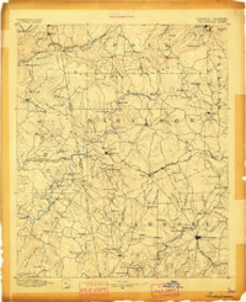
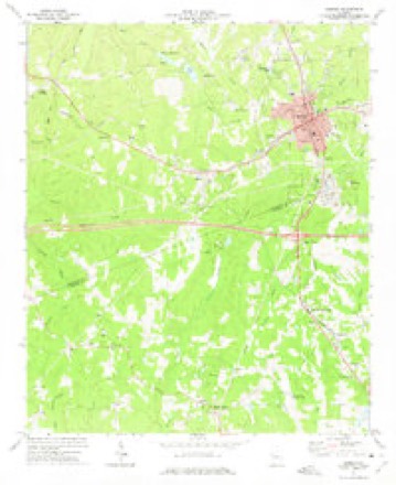
15 topographic sheets cover this place, the earliest surveyed in 1889 and the latest in 1981. It stands in the Mount Zion census division. It lies in ZIP code area 30182. The Survey maps it on the Bremen quadrangle.
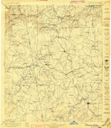
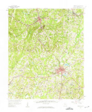
Topographic sheets covering this place
9 surveys from 15 printed sheetsMatched by testing this settlement's coordinate against the published boundary of every sheet in the United States Geological Survey's historical collection. Each opens the scanned sheet at the Survey.
- 1889 USGS Tallapoosa quadrangle1:125000
- 1892 USGS Tallapoosa quadrangle1:125000
- 1897 USGS Tallapoosa quadrangle1:125000, 4 printings
- 1953 USGS Atlanta quadrangle1:250000, 2 printings
- 1957 USGS Atlanta quadrangle1:250000
- 1958 USGS Atlanta quadrangle1:250000
- 1958 USGS Carrollton quadrangle1:62500
- 1973 USGS Bremen quadrangle1:24000, 2 printings
- 1981 USGS Anniston quadrangle1:100000, 2 printings



Fires near this place
356 since 1992Regional context, not property-specific evidence. The federal wildfire occurrence database lists 356 fires within 5 miles of Jake between 1992 and 2020, burning about 1,333 acres in total. 3 started naturally. 167 were recorded as arson. Distance is straight-line from the map coordinates, so a fire counted here may appear on a neighbouring settlement's page as well.
| Reported cause | Fires |
|---|---|
| Arson/incendiarism | 167 |
| Debris and open burning | 120 |
| Equipment and vehicle use | 20 |
| Missing data/not specified/undetermined | 15 |
| Recreation and ceremony | 14 |
| Misuse of fire by a minor | 8 |
| Railroad operations and maintenance | 5 |
| Smoking | 4 |
| Natural | 3 |
The most recent of them, most recent first, with the day each was reported and the service that recorded it.
| Date | Cause | Size | Reported by | Name on the report |
|---|---|---|---|---|
| 9 September 2003 | Debris and open burning | under an acre | Georgia Forestry Commission | not named |
| 8 September 2014 | Debris and open burning | under an acre | Georgia Forestry Commission | FY2015-HARALSON-007 |
| 7 September 1997 | Debris and open burning | under an acre | Georgia Forestry Commission | not named |
| 6 September 2002 | Arson/incendiarism | under an acre | Georgia Forestry Commission | FY2003-CARROLL-007 |
| 5 September 2016 | Debris and open burning | 2.0 acres | Georgia Forestry Commission | FY2017-HARALSON-004 |
| 30 September 2017 | Arson/incendiarism | 2.0 acres | Georgia Forestry Commission | FY2018-CARROLL-001 |
| 3 September 1997 | Debris and open burning | under an acre | Georgia Forestry Commission | not named |
| 29 September 2019 | Debris and open burning | 75 acres | Georgia Forestry Commission | FY2020HARALSON018 |
Settlements close enough to share some of these fires:
Mines and quarries near this place
1 within 5 milesRegional context, not property-specific evidence. The federal mineral resources record lists 1 working within 5 miles of Jake: 1 past producer. None of them still produces. What was taken out: Gold. Distance is straight-line from the map coordinates, so a quarry counted here may appear on a neighbouring settlement's page as well.
| Where | Site | Commodity | Status | Recorded |
|---|---|---|---|---|
| Royal Mine | Gold | Past Producer |
Storms near this place
9 since 1999Regional context, not property-specific evidence. The National Weather Service names Jake in 9 storm reports between 1999 and 2025: 4 thunderstorm wind, 2 flood, 1 tornado, 1 hail. No death or injury is recorded in these reports. Each account below is quoted exactly as the forecast office filed it, from the NOAA Storm Events Database, and each date opens the federal record of that event.
| When | Event | Place named | Harm | What the report says |
|---|---|---|---|---|
| September 2009 | Flood | Jake | $16,100,000 | Initial flash flooding evolved into a record and catastrophic flood event during this time frame. Carroll county emergency management personnel reported that at least a dozen other people were rescued from flooded homes and cars around the county, including one woman who escaped to safety as her vehicle was washed as she was driving. Substantial damage to homes, businesses, and roads were observed. Monetary damage during this time period was estimated to be in excess of $16 million. |
| September 2009 | Flood | Jake | $5,520,000 | Carroll county emergency management personnel and USGS stream gages confirmed that record to catastrophic flooding continued across much of the county, especially the eastern section. Hundreds of homes, apartments, businesses, and roads sustained damages from flooding. A number of culverts and/or bridges were washed out and several roads were closed. Flood waters began to recede after 830 am EDT on the 22nd, but many areas remained in moderate to major flood until 715 am EDT on the 23rd. Monetary damage from flooding continued to mount, with damages exceeding $5.5 million during this time frame. |
| May 1999 | Tornado (F2) | Jake | $200,000 | Sight survey by NWS personnel and newspaper accounts determined that the tornado touched down in Carroll county near Five Points Road and Mt Zion Road. The storm path was to the northeast across Interstate 20 and then into Haralson county. All along the path there was structural damage to several homes, businesses, barns and outbuildings. Many hundreds of trees were snapped or uprooted, which caused much of the damage. Several of the trees were very large hardwoods and pines. There was also extensive damage to power and telephone lines. |
| June 2006 | Thunderstorm Wind | Jake | $5,000 | The public reported that a downburst associated with a strong thunderstorm moved a Kingair aircraft fuselage on a stack of pallets at the West Georgia Regional Airport near Mount Zion northwest of Carrollton. The public also observed that several power lines were blown down near the airport. Ham radio operators reported that at least six trees were down on Georgia Highway 16 near Carrollton. The Carroll County 911 Center reported that a number of trees were down in many areas of the county while the Times Georgian of Carrollton reported that 10 power lines were down in the county. The public also noted that 1/4 to 1/2 inch hail for a period of 20-25 minutes during the storm. |
| July 2024 | Thunderstorm Wind | Jake | $2,000 | Two trees on road near the intersection of hwy 16 and Harper Lane. |
| June 2025 | Thunderstorm Wind | Jake | $1,000 | Tree down along 5 points Rd near JC Wright Rd. |
| May 2024 | Thunderstorm Wind | Jake | $1,000 | Tree down on highway 100 at Harralson County Line. |
| July 2021 | Flash Flood | Jake | - | The Emergency Manager reported numerous road closures due to flash flooding, including, but not limited to JC Wright Road, Campground Road, Bagwell Road and Smyrna Church Road. Most of these locations experienced flooding due to high flow through a nearby creek or stream. Radar estimates indicate that 2.5 to 4 inches of rain fell over the area, on top of the 1.5 to 2.5 inches that fell the day prior. These amounts, falling on the already saturated soils, produced the flash flooding. ||NUMEROUS REPORTS OF ROAD CLOSURES DUE TO FLASH FLOODING IN CARROLL COUNTY. |
| February 2009 | Hail | Jake | - | An amateur radio operator observed quarter-sized hail across the northern part of Carroll county. |
Nearest settlements
The eight closest, with where each one stands in the county. Distances are straight-line, computed from the Geographic Names Information System coordinates.
| Map | Place | Distance | Sheets |
|---|---|---|---|
| Mount Zion | 2.5 miles | 15 | |
| Luckie (historical) | 2.7 miles | 15 | |
| High Point | 4.1 miles | 15 | |
| Bowdon Junction | 4.3 miles | 15 | |
| Mandeville | 4.8 miles | 15 | |
| Burwell | 5.1 miles | 15 | |
| Miller Academy | 5.9 miles | 15 | |
| Plowshare (historical) | 6.0 miles | 15 |
Provenance
This settlement is recorded in the Geographic Names Information System as feature 332085. The sheet list is computed by point-in-boundary test against the United States Geological Survey's historical topographic inventory. Both are works of the United States government and carry no copyright under 17 U.S.C. 105.
Wildfire. Short, Karen C. 2022. Spatial wildfire occurrence data for the United States, 1992-2020 [FPA_FOD_20221014]. 6th Edition. Fort Collins, CO: Forest Service Research Data Archive. https://doi.org/10.2737/RDS-2013-0009.6 Collected with United States Government funding and usable without additional permissions or fees.
Mines and quarries. USGS Mineral Resources Data System (MRDS) https://mrdata.usgs.gov/mrds/ A work of the United States government, no copyright under 17 U.S.C. 105.
Storms. NOAA National Centers for Environmental Information, Storm Events Database https://www.ncei.noaa.gov/stormevents/ A work of the United States government, no copyright under 17 U.S.C. 105. Narratives are quoted verbatim from the National Weather Service report and are not edited or summarised.