 Block
Keithsburg, Georgia
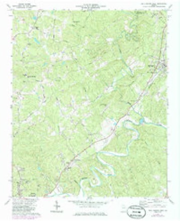
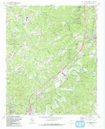
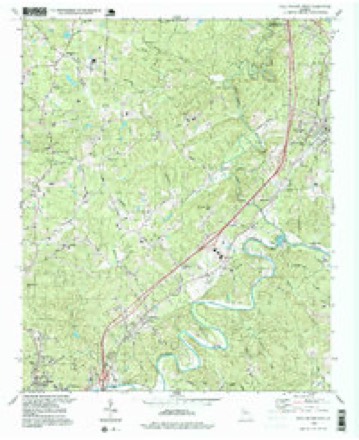
22 topographic sheets cover this place, the earliest surveyed in 1890 and the latest in 1997. It stands in the Canton census division. It lies in ZIP code area 30114. The Survey maps it on the Ball Ground West quadrangle.
Topographic sheets covering this place
12 surveys from 22 printed sheetsMatched by testing this settlement's coordinate against the published boundary of every sheet in the United States Geological Survey's historical collection. Each opens the scanned sheet at the Survey.
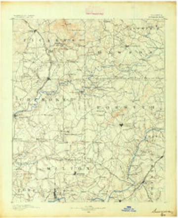
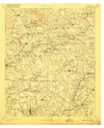
- 1890 USGS Suwanee quadrangle1:125000
- 1894 USGS Suwanee quadrangle1:125000, 6 printings
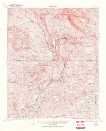
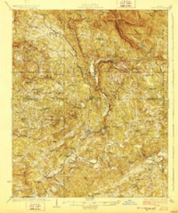
- 1926 USGS Tate quadrangle1:62500
- 1928 USGS Tate quadrangle1:62500
- 1955 USGS Rome quadrangle1:250000
- 1958 USGS Rome quadrangle1:250000, 3 printings
- 1961 USGS Rome quadrangle1:250000
- 1963 USGS Rome quadrangle1:250000
- 1973 USGS Ball Ground West quadrangle1:24000, 3 printings
- 1981 USGS Cartersville quadrangle1:100000, 2 printings
- 1992 USGS Ball Ground West quadrangle1:24000
- 1997 USGS Ball Ground West quadrangle1:24000




Fires near this place
313 since 1992Regional context, not property-specific evidence. The federal wildfire occurrence database lists 313 fires within 5 miles of Keithsburg between 1992 and 2020, burning about 594 acres in total. 3 started naturally. 58 were recorded as arson. Distance is straight-line from the map coordinates, so a fire counted here may appear on a neighbouring settlement's page as well.
| Reported cause | Fires |
|---|---|
| Debris and open burning | 140 |
| Arson/incendiarism | 58 |
| Missing data/not specified/undetermined | 31 |
| Equipment and vehicle use | 21 |
| Smoking | 19 |
| Railroad operations and maintenance | 18 |
| Misuse of fire by a minor | 15 |
| Recreation and ceremony | 8 |
| Natural | 3 |
The most recent of them, most recent first, with the day each was reported and the service that recorded it.
| Date | Cause | Size | Reported by | Name on the report |
|---|---|---|---|---|
| 7 September 2016 | Debris and open burning | under an acre | Georgia Forestry Commission | FY2017-CHEROKEE-003 |
| 5 September 1999 | Equipment and vehicle use | under an acre | Georgia Forestry Commission | not named |
| 4 September 1998 | Arson/incendiarism | 1.0 acres | Georgia Forestry Commission | not named |
| 30 September 2016 | Debris and open burning | 2.0 acres | Georgia Forestry Commission | FY2017-CHEROKEE-004 |
| 3 September 2011 | Debris and open burning | 2.0 acres | Georgia Forestry Commission | FY2012-CHEROKEE-007 |
| 29 September 2003 | Misuse of fire by a minor | under an acre | Georgia Forestry Commission | not named |
| 22 September 2005 | Smoking | under an acre | Georgia Forestry Commission | not named |
| 22 September 1999 | Debris and open burning | under an acre | Georgia Forestry Commission | not named |
Settlements close enough to share some of these fires:
Mines and quarries near this place
10 of 17 shownRegional context, not property-specific evidence. The federal mineral resources record lists 17 workings within 5 miles of Keithsburg: 9 past producers, 5 occurrences, 2 producers, 1 prospect. 2 still produce. What was taken out: Iron, Sand and Gravel, Construction, Gold, Talc-Soapstone. Distance is straight-line from the map coordinates, so a quarry counted here may appear on a neighbouring settlement's page as well.
| Where | Site | Commodity | Status | Recorded |
|---|---|---|---|---|
| Brady Mine | Talc-Soapstone | Past Producer | ||
| Rich Mine | Sulfur-Pyrite, Lead, Zinc | Past Producer | ||
| Rich Mine (Canton Mine) | Copper, Iron-Pyrite | Occurrence | Chalcopyrite | |
| Frank Burt Prospect | Gold | Prospect | ||
| Latham Mine | Gold | Past Producer | ||
| Lot 208 Shaft | Gold | Past Producer | ||
| Blankenship Sand Dredge | Sand and Gravel, Construction | Past Producer | ||
| Blankenship Sand Dredge | Sand and Gravel, Construction | Producer | ||
| Lawson & Quarles Sand | Sand and Gravel, Construction | Producer | ||
| Sand & Gravel Division | Sand and Gravel, Construction | Past Producer |
Storms near this place
6 since 2003Regional context, not property-specific evidence. The National Weather Service names Keithsburg in 6 storm reports between 2003 and 2025: 4 thunderstorm wind, 2 tornado. No death or injury is recorded in these reports. Each account below is quoted exactly as the forecast office filed it, from the NOAA Storm Events Database, and each date opens the federal record of that event.
| When | Event | Place named | Harm | What the report says |
|---|---|---|---|---|
| April 2008 | Thunderstorm Wind | Keithsburg | $150,000 | A damage survey conducted by the Cherokee County Emergency Management Director confirmed that straight-line thunderstorm winds of 60 to 75 mph caused extensive damage across parts of northern Cherokee county. While downed trees, power lines, and some structural damage was scattered across the northern part of the county, the most concentrated damage was found in three specific areas. The first area extended from just west of Keithsburg near Interstate-575, east-northeastward across the interstate, Georgia Highway 5/Canton Highway, and to near the Etowah River near Cokers Church Road. The second area of significant damage was in the far northeast part of the county along and either side of Yellow Creek Road between Mica and Ophir and extended east into southwest Dawson county. The third area of significant damage was in the east central part of the county just east of and paralleling Georgia Highway 372 between the McGraw Ford Wildlife Management Area and Georgia Highway 369/Hightower Road. This area of damage stopped just short of the Forsyth county line.||In all, one mobile home was destroyed, six vehicles were destroyed, 25 homes sustained minor damage, four agricultural buildings were damaged, an Atlanta Gas-Light substation received minor damage, parts of the Georgia Northeast Railroad tracks just east of Interstate-575 were blocked with downed trees, much debris was found and had to be cleared from county right-of-ways, and power lines were down at multiple locations. Damages were estimated to be $150,000. |
| May 2003 | Tornado (F1) | Keithsburg | $10,000 | The Cherokee county Emergency Management Director witnessed and conducted a survey on an F0 to weak F1 tornado that tore a short one-mile path through the Keithsburg community just north of Canton. The tornado touched down just one mile north of the intersection of Interstate 575 and Georgia Highway 5 traveling east at approximately 50 miles an hour for around 1 minute, terminating on the east side of Keithsburg near Green Road. Tin roofs to the Haynes Lumber Company near Interstate-575 were damaged along with damage to a rental home on Green Road in Keithsburg. Multiple points of damage to trees and power lines in the area was also noted. The Emergency Management Director and the local Sheriff had spotted a funnel cloud just north of Canton earlier and the Emergency Management Director witnessed the tornado at 12:56 pm EDT. No injuries or fatalities were reported during the incident. |
| June 2025 | Thunderstorm Wind | Keithsburg | $4,000 | The Emergency Manager relayed a report of trees down near Heard Road and Lower Bethany Road, and trees and wires down in the 1500 block of Lower Bethany Road and the 3000 block of Ball Ground Highway. |
| June 2025 | Thunderstorm Wind | Keithsburg | $1,000 | Tree down on structure along the 200 block of Bethany Manor Court. |
| August 2024 | Thunderstorm Wind | Keithsburg | $1,000 | Tree down near intersection of lower burris rd and worley rd. |
| December 2021 | Tornado (EF1) | Keithsburg | - | A low end EF1 tornado briefly touched down in Northern Cherokee|County on Thursday December 30, 2021 during the very early hours|of the morning as a line of thunderstorms moved through the |region. The tornado first touched down north of Fate Conn Rd |located northwest of Canton near some homes along the road. |Several trees were uprooted, a large trampoline was thrown to the|west approximately 150 yards into a neighboring home. Also near |the beginning of the track, a large bedroom window was blown in|on a large home and a large fence on a tennis court was blown down. |As the storm continued east, it intensified to max intensity in a|wooded area where hundreds of trees were snapped or uprooted |behind several homes along the Fate Conn Rd. A small barn and an |RV were destroyed by numerous falling trees in the core of the |path. A home along Rolling Hill Place drive had a tree fallen it.|The storm continued east snapping trees before lifting just|before reaching Towne Mill Ave. [12/30/21: Tornado #3, County #1/1, EF-1, Cherokee, 2021:25]. |
Nearest settlements
The eight closest, with where each one stands in the county. Distances are straight-line, computed from the Geographic Names Information System coordinates.
| Map | Place | Distance | Sheets |
|---|---|---|---|
| Buffington | 2.8 miles | 20 | |
| Harmony | 3.0 miles | 20 | |
| North Canton | 3.1 miles | 20 | |
| Gober | 3.2 miles | 22 | |
| Canton | 3.3 miles | 20 | |
| Burris Crossroads | 4.3 miles | 22 | |
| White City | 4.3 miles | 20 | |
| South Canton | 4.9 miles | 22 |
Provenance
This settlement is recorded in the Geographic Names Information System as feature 326352. The sheet list is computed by point-in-boundary test against the United States Geological Survey's historical topographic inventory. Both are works of the United States government and carry no copyright under 17 U.S.C. 105.
Wildfire. Short, Karen C. 2022. Spatial wildfire occurrence data for the United States, 1992-2020 [FPA_FOD_20221014]. 6th Edition. Fort Collins, CO: Forest Service Research Data Archive. https://doi.org/10.2737/RDS-2013-0009.6 Collected with United States Government funding and usable without additional permissions or fees.
Mines and quarries. USGS Mineral Resources Data System (MRDS) https://mrdata.usgs.gov/mrds/ A work of the United States government, no copyright under 17 U.S.C. 105.
Storms. NOAA National Centers for Environmental Information, Storm Events Database https://www.ncei.noaa.gov/stormevents/ A work of the United States government, no copyright under 17 U.S.C. 105. Narratives are quoted verbatim from the National Weather Service report and are not edited or summarised.