 Block
Marietta, Georgia
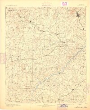
20 topographic sheets cover this place, the earliest surveyed in 1891 and the latest in 1992. It stands in the Marietta census division. It lies in ZIP code area 30060. The Survey maps it on the Marietta quadrangle. 60,972 people lived here at the 2020 count. It stands 1,129 feet above sea level.
Research this city
On record in Marietta
Buildings and businesses the archive holds for this place. Each opens its own page, with the source record it came from.
On the National Register 12 of 21 shown
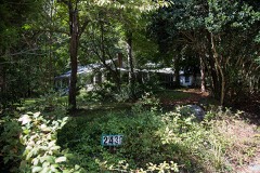 Braswell-Carnes Houselisted 1984
 Arnoldus Brumby Houselisted 1977
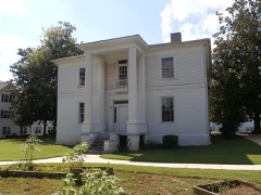 Andrew J. Cheney Houselisted 1979
 Glover-McLeod-Garrison Houselisted 1977
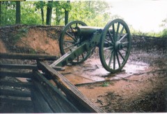 Kennesaw Mountain National Battlefield Parklisted 1966
 Marietta National Cemeterylisted 1998
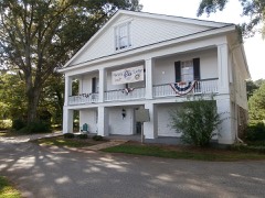 William Gibbs McAdoo Houselisted 1978
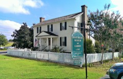 Northwest Marietta Historic Districtlisted 1975
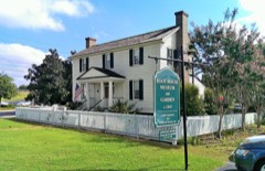 William and Hannah Root Houselisted 2014
 Zion Baptist Churchlisted 1990
- Atlanta-Frasier Street Historic Districtlisted 1995
- J. C. Bankston Rock Houselisted 1994
Surveyed buildings and structures 9 records
- Big Lake Dam, Fourth Street, South of Atlantic Avenue, Mariettafederal building survey, 13 photographs
- Covered Bridge, Spanning Sope Creek, Mariettafederal building survey, 1 photograph
- Fraser-Couper House, Mariettafederal building survey, 2 photographs
- Glover Machine Works, 651 Butler Street, Mariettafederal building survey, 25 photographs
- J.C. Bankston Rock House, 901 Industrial Drive Dobbins Air Reserve Base, Mariettafederal building survey, 1 photograph
- Marietta National Cemetery, 500 Washington Avenue, Mariettafederal building survey, 1 photograph
- Marietta National Cemetery, Lodge, 500 Washington Avenue, Mariettafederal building survey, 1 photograph
- Marietta National Cemetery, Rostrum, 500 Washington Avenue, Mariettafederal building survey, 1 photograph
- Western & Atlantic Railroad Culvert, Stilesboro Road, Mariettafederal building survey, 2 photographs
Population over time
3 figuresMarietta grew from 58,478 to 60,972 between 2000 and 2020. These are the recorded population figures Wikidata holds for this place, reached through the Geographic Names Information System number this page is keyed on rather than by name, so they belong to this place and not to another of the same name. Most are census counts, but not all are: an early figure may be a founding or settlement estimate, and an estimate published within five years of a census is left out. The change column is computed, and is left blank where more than 20 years separate a figure from the one before it, because a gap that long is not a change between two counts.
| Year | People | Change |
|---|---|---|
| 2000 | 58,478 | |
| 2010 | 56,579 | -1,899 (-3%) |
| 2020 | 60,972 | +4,393 (+8%) |
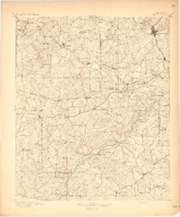
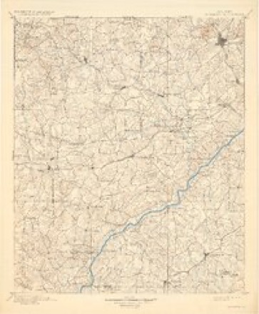
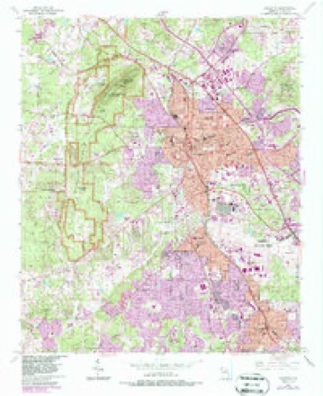
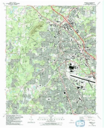
Topographic sheets covering this place
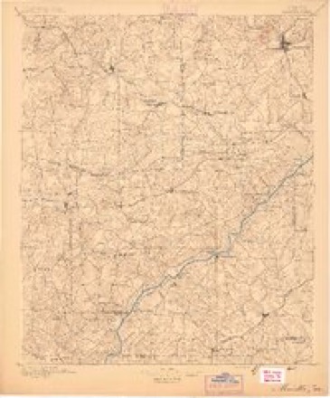
10 surveys from 20 printed sheetsMatched by testing this settlement's coordinate against the published boundary of every sheet in the United States Geological Survey's historical collection. Each opens the scanned sheet at the Survey.
- 1891 USGS Marietta quadrangle1:125000
- 1895 USGS Marietta quadrangle1:125000
- 1897 USGS Marietta quadrangle1:125000
- 1901 USGS Marietta quadrangle1:125000, 4 printings
- 1953 USGS Atlanta quadrangle1:250000, 2 printings
- 1954 USGS Marietta quadrangle1:24000, 6 printings
- 1957 USGS Atlanta quadrangle1:250000
- 1958 USGS Atlanta quadrangle1:250000
- 1981 USGS Atlanta quadrangle1:100000
- 1992 USGS Marietta quadrangle1:24000, 2 printings




Photographs
8 of 11 photographs shown, 1936 to 2003Taken for the Office of War Information and the Farm Security Administration, who photographed the country between 1935 and 1944. Works of United States government photographers, with no known restriction on use. Each opens its catalogue record.

McNally, Joe, 2003. Library of Congress
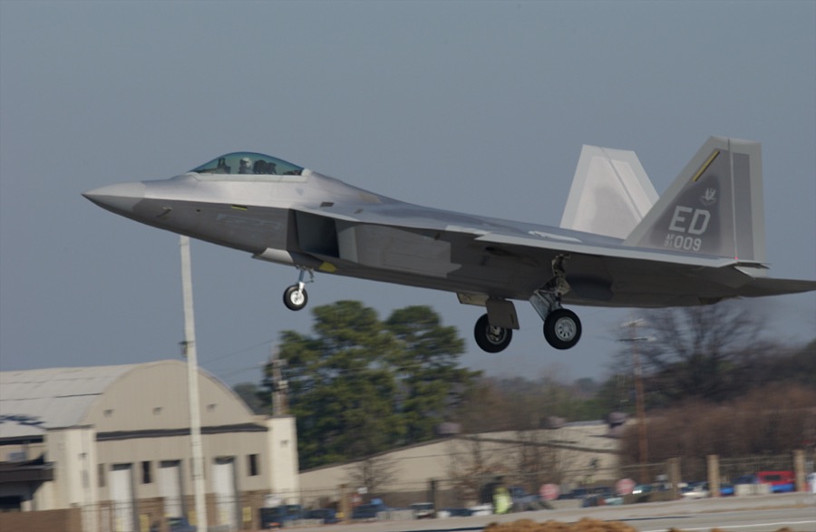
McNally, Joe, 2003. Library of Congress
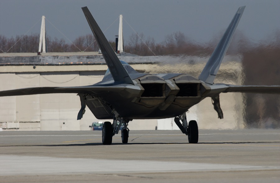
McNally, Joe, 2003. Library of Congress
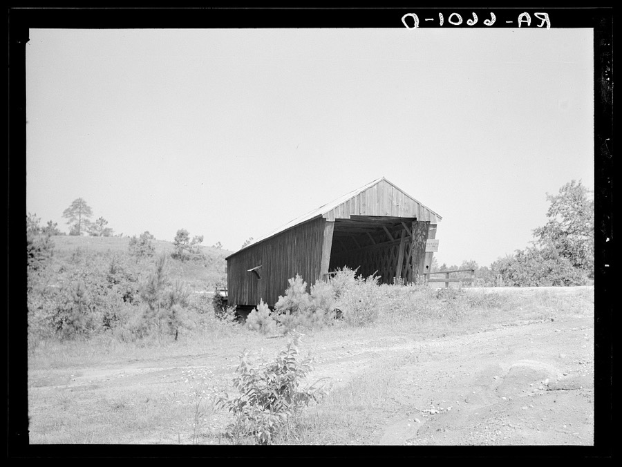
Mydans, Carl, photographer, 1936. Library of Congress
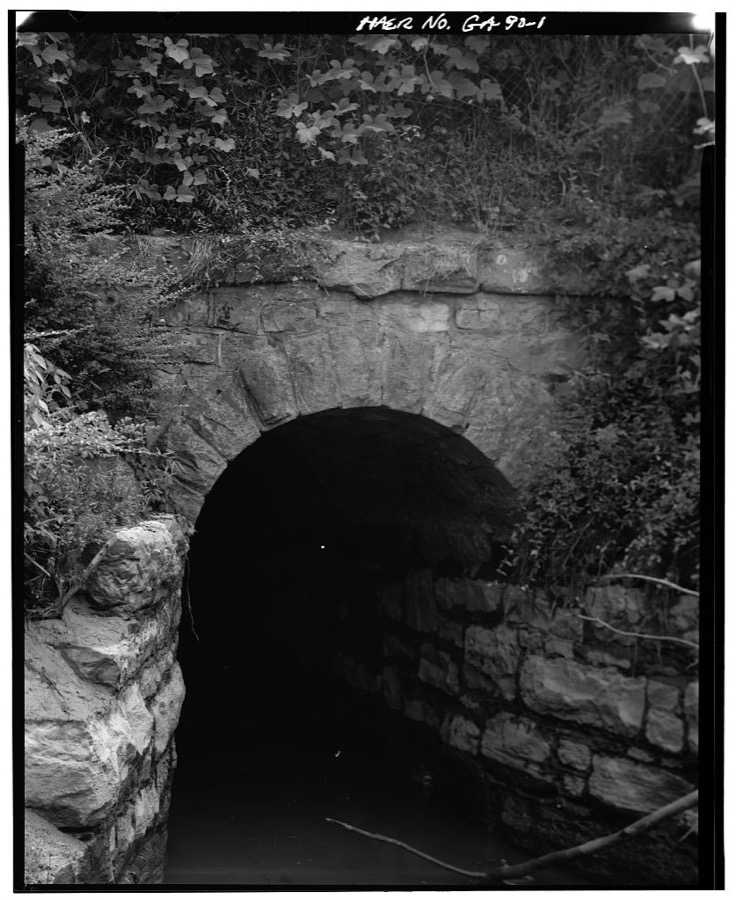
Photographer not recorded. Library of Congress

Photographer not recorded. Library of Congress
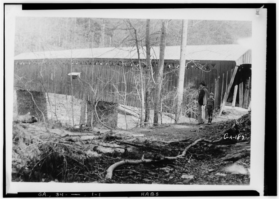
Photographer not recorded. Library of Congress
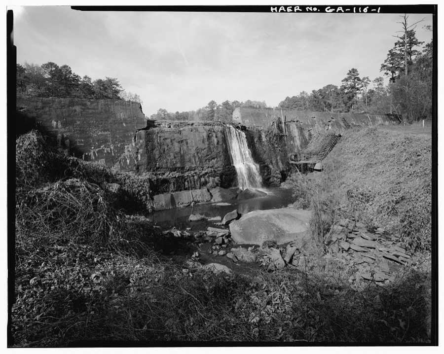
Photographer not recorded. Library of Congress
Every photograph of Cobb County
Fires near this place
22 since 1992Regional context, not property-specific evidence. The federal wildfire occurrence database lists 22 fires within 5 miles of Marietta between 1992 and 2017, burning about 74 acres in total. 4 started naturally. 5 were recorded as arson. Distance is straight-line from the map coordinates, so a fire counted here may appear on a neighbouring settlement's page as well.
| Reported cause | Fires |
|---|---|
| Arson/incendiarism | 5 |
| Missing data/not specified/undetermined | 5 |
| Natural | 4 |
| Debris and open burning | 4 |
| Misuse of fire by a minor | 2 |
| Equipment and vehicle use | 2 |
The most recent of them, most recent first, with the day each was reported and the service that recorded it.
| Date | Cause | Size | Reported by | Name on the report |
|---|---|---|---|---|
| 22 September 2007 | Misuse of fire by a minor | under an acre | Georgia Forestry Commission | not named |
| 22 September 1994 | Equipment and vehicle use | under an acre | Kennesaw Mountain National Battlefield Park | FIRE2 |
| 13 July 2009 | Natural | under an acre | Kennesaw Mountain National Battlefield Park | 90109 |
| 6 June 2006 | Missing data/not specified/undetermined | 2.6 acres | Kennesaw Mountain National Battlefield Park | JUDGE'S ROW |
| 25 June 1992 | Arson/incendiarism | 4.0 acres | Georgia Forestry Commission | not named |
| 20 May 1994 | Equipment and vehicle use | under an acre | Kennesaw Mountain National Battlefield Park | ISLANDFIRE |
| 2 May 1992 | Arson/incendiarism | 3.0 acres | Georgia Forestry Commission | not named |
| 8 April 1997 | Missing data/not specified/undetermined | 6.0 acres | Georgia Forestry Commission | not named |
Settlements close enough to share some of these fires:
Mines and quarries near this place
2 within 5 milesRegional context, not property-specific evidence. The federal mineral resources record lists 2 workings within 5 miles of Marietta: 1 past producer, 1 producer. 1 still produces. What was taken out: Sulfur, Stone, Crushed/Broken. Distance is straight-line from the map coordinates, so a quarry counted here may appear on a neighbouring settlement's page as well.
| Where | Site | Commodity | Status | Recorded |
|---|---|---|---|---|
| Kennesaw Quarry | Stone, Crushed/Broken | Producer | ||
| Kramper Property | Sulfur | Past Producer |
Storms near this place
60 of 100 shownRegional context, not property-specific evidence. The National Weather Service names Marietta in 100 storm reports between 1993 and 2024: 39 thunderstorm wind, 35 hail, 13 lightning, 7 flash flood. The reports record 1 death and 6 injuries. Each account below is quoted exactly as the forecast office filed it, from the NOAA Storm Events Database, and each date opens the federal record of that event.
| When | Event | Place named | Harm | What the report says |
|---|---|---|---|---|
| July 2002 | Lightning | Marietta | 1 killed, $3,000 | Several newspapers, including the Atlanta Journal-Constitution, the Marietta Daily Journal, the Columbus Ledger Enquirer, and the Macon Telegraph, as well as the Cobb county Emergency Management Agency and local Atlanta TV stations, reported on a lightning strike and subsequent death to a 49-year old woman from Marietta who was hiking in the Kennesaw National Battlefield park. The woman was hiking on Kennesaw Mountain in the National Battlefield park with her husband and dog. No rain was falling at the time, but thunderstorms surrounded the area with considerable cloud-to-ground lightning activity. The lightning struck the woman at 6:52 pm EDT while she was approximately 30 feet ahead of her husband around a bend in the trail. Her husband found her flat on the ground, immediately after the strike, unconscious, but still alive at the time. She was immediately transported to a local hospital where she was pronounced dead on arrival. In addition to this incident, two homes in the Marietta area were set on fire by lightning strikes during this same round of thunderstorms. |
| June 1998 | Lightning | Marietta | 2 hurt, $50,000 | Lightning injured a man on a road maintenance crew on Canton Road near I-75. Another man was injured by lightning off Barrett Parkway near Kennesaw. Seven structure fires resulted from lightning strikes. |
| September 2014 | Lightning | Marietta | 2 hurt | Two roofers in Marietta were struck by lightning and hospitalized. |
| August 2000 | Lightning | Marietta | 1 hurt, $15,000 | The Atlanta Journal and Constitution reported that lightning struck and set two homes on fire, as well causing a fire at The Landings apartment complex on Powers Ferry Road. The extent of the damage was unknown. In another instance, lightning injured an individual at a home 6 miles northeast of Dobbins Air Reserve Base. |
| June 1996 | Thunderstorm Wind | Marietta | 1 hurt, $15,000 | no account filed |
| June 2007 | Hail | Marietta | $2,600,000 | Well over a dozen reports of large hail, ranging in size from nickels to golf balls were received from the public across eastern Cobb county. The largest hail fell in the Marietta area. Golf ball-sized hail was reported on Interstate-75 at exit 263, on Roswell Road, on Clay Drive and at numerous other locations in Marietta. Several other locations in Marietta reported hail the size of half-dollars or ping-pong balls. Quarter-sized hail fell at Dobbins Air Force Base in Marietta. As the storm moved south, it weakened some. Only penny to nickel-sized hail was reported in the Smyrna area. |
| September 2021 | Flash Flood | Marietta | $1,940,000 | Numerous social media posts and reports from Emergency Management indicated significant flooding over Cobb county due to anomalously heavy rainfall. ||Radar estimates indicate 5 to 7 inches of rain accumulated quickly over the area resulting in the flash flooding. These amounts are between 0.1% and 0.2% chance of occurrence in a given year according to the NOAA Atlas 14.||In total, more than 250 structures, 15 roadways and more than 100 cars were inundated with floodwater. The Emergency Management reported flooding of the Roswell Road and Old Canton Road intersection, a washout of East Lake Parkway, a washed out footbridge near Chinquapin Drive and South Woodland Drive, and complete collapse and washout of Pickens Industrial Drive. ||Additionally, dozens of cars were flooded in the parking lot of the Marietta Crossing Apartment homes due to flash flooding of Rottenwood Creek. Water also caused damage to the interior of the building after water inundated the apartments.||Flash flooding occurred along Columns Drive along the western bank of the Chattahoochee River, inundating multiple homes and vehicles. This flooding was also documented by a local news station traffic helicopter on Twitter.||The river gage on Sope Creek (NWS MARG1/USGS 02335870) recorded an almost 17 foot rise in 4 hours due to the quickly accumulating rainfall. The observed stage height crest in Major Flood Stage at 18.05 feet -- only 0.3 feet below the crest from the historic September 2009 floods. Two river gages on the Chattahoochee River in Vinings (NWS VING1/USGS 02336000 and NWS VIXG1/USGS 02335990) also rose above flood stage. |
| September 2004 | Flash Flood | Marietta | $500,000 | The East Cobb Neighbor reported that several homes in Marietta sustained damage from moderate to major flooding from heavy rain associated with the remnants of Hurricane Jeanne. |
| June 1994 | Thunderstorm Wind | Marietta | $500,000 | Thunderstorm winds caused moderate damage to 30 homes and downed several trees and power lines in the Indian Hills Subdivision near the intersection of Georgia Highway 120 and Indian Hills Parkway. Estimated damage to homes was 450,000 dollars. |
| July 2008 | Lightning | Marietta | $250,000 | The Atlanta Journal-Constitution reported that lightning struck a home on Knotty Pine Trail near Marietta. The home was completely destroyed by the resulting fire. |
| July 2002 | Thunderstorm Wind | Marietta | $175,000 | A variety of news media, including WXIA TV and FOX 5 TV of Atlanta, the Marietta Daily Journal newspaper, and the Cobb county Emergency Management Director reported extensive damage at McCollum field, just southeast of Kennesaw, apparently caused by a microburst. At least four aircraft were damaged. An old Cessna-172 was totaled, two single-engine aircraft were pushed into each other, and one aircraft broke free from its tiedowns and was moved, but stayed upright. Damage to the aircraft alone was estimated at $100,000. Additional damage to homes and businesses occurred further southeast near Marietta. Amateur radio operators reported that the roof was blown off the antebellum 154-year old Marietta Lighting Company near the Marietta Square Shopping Center. The roof and chimney from the building damaged employee cars in the lot below. The chief meteorologist from FOX 5 TV in Atlanta reported that a roof was blown off a house, information which was further confirmed by the Marietta Daily Journal. Amateur radio operators, the Marietta Daily Journal and the Cobb county 911 center also reported that large tree limbs and some trees were blown down in Marietta. Tree debris littered much of the Marietta Downtown Market Square. A 25-foot limb from a 100-year old oak tree crashed onto South Park Square, blocking traffic and damaging parked vehicles. Another large tree branch crushed a Volvo near the Square. Much of the Marietta area, 6000 or more residents, was without power throughout the evening, and another 600 residents were without power in the Kennesaw area. |
| September 1999 | Lightning | Marietta | $100,000 | A lightning strike caused a house fire at 2842 Meadowgrove Way in Marietta. The home was pretty much a total loss. |
| June 1999 | Lightning | Marietta | $100,000 | Lightning sparked a fire, which caused extensive damage to the roof and attic of a home on Packhorse Run. |
| June 1998 | Thunderstorm Wind | Marietta | $100,000 | An ancient hollow oak tree 7 feet in diameter was toppled onto a duplex on Hedges street, destroying it. Trees landed on several other homes as well. Power lines were downed throughout the area, knocking out power at thousands of homes and businesses. Traffic lights were out at several intersections. |
| May 2003 | Flash Flood | Marietta | $75,000 | The Cobb county Emergency Management Director reported that extensive flooding of roads was occurring across much of the county. The flooding forced the evacuation of several residents in various areas of the county. The National Weather Service river gage at Marietta on Sope Creek showed that very heavy rainfall had forced the creek quickly into a flash flood stage. The creek crested at 13.5 feet around 8 pm EDT, well above the 12.0 foot flood stage. Minor flooding of low-lying areas, including property and roads in the immediate vicinity, resulted. The Marietta Daily Journal reported that only one acre of a 22-acre farm in Austell was spared flooding. Butler Creek overflowed its banks along Nance Road in Acworth resulting in nearly half-a-foot of water flowing over the Nance Road Bridge. Some homes were also flooded as well. |
| June 1999 | Lightning | Marietta | $60,000 | A newspaper reported lightning caused a house fire on Wynford Drive off West Sandtown Road. A lightning bolt struck a tree, which set the house on fire and destroyed one room. |
| July 2008 | Thunderstorm Wind | Marietta | $50,000 | An amateur radio operator reported that a tree was blown down onto a home on Burnt Hickory Road at Georgia Highway 120. |
| June 2005 | Lightning | Marietta | $50,000 | The Marietta Daily Journal reported that lightning struck a home in East Marietta. The second story of the home caught fire causing considerable damage to the structure. |
| May 2003 | Flash Flood | Marietta | $50,000 | The Cobb county 911 center reported that water was up to four feet deep on International North Parkway, causing a portion of the road to be closed. Water was also flowing across other roads in Marietta. Sope Creek, also in Marietta, crested at 12 feet, after one to three inches of rain fell within three hours or less. |
| July 1999 | Lightning | Marietta | $50,000 | A newspaper reported a fire started by lightning damaged several apartments at the Falls of Bells Ferry apartments. |
| July 1999 | Thunderstorm Wind | Marietta | $50,000 | Thunderstorm winds knocked down trees in the Marietta area. One was a 4 foot diameter oak tree. Another public report indicated a couple of buildings were destroyed on Windy Hill Road. A CNN meteoroloist reported a wind gust to 64 knots. |
| June 1999 | Lightning | Marietta | $25,000 | A lightning bolt ignited a fire at a house on North Field Court in north Marietta. There was significant damage to the attic. |
| March 2012 | Thunderstorm Wind | Marietta | $15,000 | A WSB-TV news reporter confirmed that a large hardwood tree broke off at the ground level and fell on the roof of a car in the Hickory Walk Subdivision off Whitlock Avenue. |
| April 2011 | Thunderstorm Wind | Marietta | $10,000 | The Cobb County 911 Center reported that at least a dozen trees and over six power lines were down across the central and northern parts of the county, especially on the north side of Marietta and near Kennesaw. |
| June 2009 | Thunderstorm Wind | Marietta | $10,000 | The Cobb County 911 Center reported that at least 15 trees were down around Marietta. |
| June 2004 | Thunderstorm Wind | Marietta | $10,000 | The Atlanta Journal-Constitution reported that two 5-foot or greater diameter oak trees, possibly more than 200 years old, were uprooted at the Marietta National Cemetery during strong thunderstorms. The trees fell on several upright headstones causing considerable damage to them. The trees also cracked two streets in the cemetery and several feet of the cemetery's stone wall. |
| July 1999 | Hail | Marietta | $10,000 | Several public reports indicated large hail fell in the Marietta and Dobbins AFB area. It ranged from dime to larger than golf ball size. A newspaper indicated there was severe damage from the hail. |
| August 1998 | Thunderstorm Wind | Marietta | $10,000 | Public and newspaper reports indicated thunderstorm winds snapped or uprooted a few trees and tree limbs and knocked down power lines. Part of an 8 to 10 inch diameter tree fell on a house and another large limb smashed the back window of a car. |
| May 1998 | Lightning | Marietta | $10,000 | Lightning hit a house on Chelsea Drive, setting the chimney on fire and causing a small hole in the roof. |
| March 1996 | Hail | Marietta | $10,000 | no account filed |
| June 2001 | Thunderstorm Wind | Marietta | $7,000 | The public, and an amateur radio operator, reported that several large limbs were broken off trees in the eastern part of Marietta and a tree was down on a house in Marietta. |
| March 2018 | Thunderstorm Wind | Marietta | $5,000 | The Cobb County 911 center reported trees blown down around the intersection of Burnt Hickory Road and Polk Street. The AWOS at the Dobbins Air Reserve Base recorded a wind gust of 59 mph. |
| August 2004 | Flash Flood | Marietta | $5,000 | WXIA-TV of Atlanta reported that several inches of rain in a short period of time resulted in flash flooding of Sope Creek. The creek flooded yards and play areas adjacent to the creek and also flooded one home in the area. Water several inches deep was flowing through these areas when the creek went out of its banks. Sope Creek crested between 13 and 14 feet around 9 pm EDT. Flood stage is 12 feet. |
| August 2004 | Thunderstorm Wind | Marietta | $5,000 | The Marietta Daily Journal reported that thunderstorm winds blew down several trees onto streets and power lines in the area. The downed power lines left up to 1200 people without power during the incident. |
| February 2003 | Thunderstorm Wind | Marietta | $5,000 | The Atlanta Journal-Constitution reported that thunderstorm winds blew a large 100 foot by 40 foot tent with steel tables and wicker chairs up and onto the roof of a Marietta furniture store. Wind gusts were estimated at 50 mph in this thunderstorm. |
| July 1999 | Thunderstorm Wind | Marietta | $5,000 | Cobb county 911 reported trees down. One home was hit by a falling tree. |
| July 1999 | Thunderstorm Wind | Marietta | $5,000 | Public reports indicated lots of trees were knocked down along Windy Hill Road, Terrell Mill Road and Paper Mill Road. |
| May 2002 | Thunderstorm Wind | Marietta | $3,000 | The Cobb county 911 center reported trees and power lines down on Sandy Plains Road. |
| July 2012 | Thunderstorm Wind | Marietta | $2,000 | The Cobb County 911 Center reported that several trees and a couple of power lines were blown down in Marietta. |
| May 2010 | Thunderstorm Wind | Marietta | $2,000 | The Marietta Daily Journal reported that a few trees were blown down in the vicinity of Whitlock Avenue, McDonald Street, and near the town square. At least one tree was down on a power line causing a power outage to approximately 3000 residents in the area. |
| August 2000 | Thunderstorm Wind | Marietta | $2,000 | The public reported that two trees were blown down in Marietta, with others damaged at roof level. They reported that the damage all occurred in less than a minute. |
| June 1999 | Thunderstorm Wind | Marietta | $2,000 | The public reported some trees blown down and others with tops taken off. |
| April 1998 | Thunderstorm Wind | Marietta | $2,000 | A HAM operator reported trees and power lines were downed near highway 120. |
| December 2024 | Thunderstorm Wind | Marietta | $1,000 | A tree fell across the road on Forest Avenue NE at N Forest Avenue NE. |
| June 2007 | Thunderstorm Wind | Marietta | $1,000 | The Cobb County 911 Center reported that a few trees were blown down on Murdock Road. |
| June 2006 | Thunderstorm Wind | Marietta | $1,000 | The public reported that several small Bradford Pear trees were blown down at Wheeler High School/East Cobb Middle School. A larger tree was down on a power line along Holt Road in the same area. |
| June 2004 | Thunderstorm Wind | Marietta | $1,000 | The Charleston National Weather Service Forecast Office relayed a report of several trees down in Marietta. |
| July 2004 | Thunderstorm Wind | Marietta | $1,000 | The Cobb County 911 center reported that a few trees were blown down just north and northeast of Marietta. |
| May 2003 | Thunderstorm Wind | Marietta | $1,000 | A storm spotter for the National Weather Service reported that the metal awning was blown off a gas station at the intersection of Austell and Callaway Roads. |
| November 2000 | Thunderstorm Wind | Marietta | $1,000 | The Cobb county 911 center reported trees down on Powder Springs Road near Macland Road. |
| June 1999 | Thunderstorm Wind | Marietta | $1,000 | The public reported trees were blown down. |
| July 1999 | Thunderstorm Wind | Marietta | $1,000 | The public reported trees down. Large limbs were knocked onto a deck. |
| April 1995 | Thunderstorm Wind | Marietta | $1,000 | Thunderstorm winds knocked over at least five trees in one residents backyard, and left numerous tree limbs around the Marietta neighborhood. |
| August 2009 | Lightning | Marietta | $500 | The Cobb County 911 Center reported that lightning struck a tree and caused it to fall across a road. |
| May 2003 | Thunderstorm Wind | Marietta | $500 | The public reported that some trees were blown down. |
| September 1999 | Thunderstorm Wind | Marietta | $500 | A CNN meteorologist reported a 78 mph gust using a hand-held anemometer. The wind blew over a 14 inch diameter oak tree. |
| August 1996 | Thunderstorm Wind | Marietta | $500 | no account filed |
| February 2001 | Hail | Marietta | $200 | The public reported nickel size hail in Marietta. The hail, when combined with strong 50 mph or greater winds, broke a window in a house. In Acworth, dime size hail was reported. |
| January 1995 | Thunderstorm Wind | Marietta | $150 | Thunderstorm winds knocked a tree down on a powerline in East Marietta. The powerline snapped and power was knocked out for two hours. |
| July 2022 | Thunderstorm Wind | Marietta | - | Report of a tree down on S Marietta Pkwy near intersection of Frasier St SE. |
Newspapers printed here
19,037 digitised pages3 papers published in this town, digitised by the Library of Congress and free to read: 2,753 issues, 19,037 pages. Every page is searchable, so a name or a street can be looked for directly in what the town printed about itself at the time.
| Newspaper | Published |
|---|---|
| The Marietta Journal | 1866 to 1909 |
| The Marietta Journal | 1918 to 1944 |
| The Marietta Journal and Courier | 1909 to 1918 |
What the paper printed
27,976 wordsFront pages of the local paper, read from the Library of Congress scans: 10 issues spread across its run from 1868 to 1924, 27,976 words in total. Each is reproduced on its own page, exactly as the recogniser returned it.
These pages read less well than anything else here, and the number is worth stating: about three words in four come through cleanly, against nine in ten for the building records. An 1896 broadsheet sets eight-point type in seven columns on microfilm, which is the hardest thing in this archive to read by machine. We tested our own recognisers against the Library's and they were not better, so the Library's text is what appears, with the wholly unreadable columns removed. Read it as a guide to what the paper covered, and follow the link to the scan before quoting anything.
| Issue | Paper | Length |
|---|---|---|
| 1868-09-25 | The Marietta Journal | 4,250 words |
| 1868-11-13 | The Marietta Journal | 3,213 words |
| 1868-12-04 | The Marietta Journal | 3,513 words |
| 1868-12-25 | The Marietta Journal | 3,324 words |
| 1918-11-15 | The Marietta Journal | 2,372 words |
| 1918-12-06 | The Marietta Journal | 3,241 words |
| 1918-12-20 | The Marietta Journal | 2,575 words |
| 1924-07-31 | The Marietta Journal | 2,100 words |
| 1909-09-03 | The Marietta Journal and Courier | 1,597 words |
| 1918-11-08 | The Marietta Journal and Courier | 1,791 words |
Nearest settlements
The eight closest, with where each one stands in the county. Distances are straight-line, computed from the Geographic Names Information System coordinates.
| Map | Place | Distance | Sheets |
|---|---|---|---|
| Clay Homes | 0.3 miles | 20 | |
| Fort Hill Homes | 0.4 miles | 20 | |
| Marietta Place Homes (historical) | 1.1 miles | 20 | |
| Whitlock | 1.2 miles | 20 | |
| Oakton | 1.6 miles | 20 | |
| Elizabeth | 1.6 miles | 20 | |
| Fair Oaks | 2.5 miles | 20 | |
| Westoak | 2.6 miles | 20 |
Elsewhere
Matched on this settlement's Geographic Names Information System number rather than its name, so it cannot be a different place of the same name in another state.
| Wikipedia article on Marietta | An encyclopaedic summary. Its text is share-alike, so it is linked here rather than copied. |
| Wikidata item Q852684 | The structured record the population and elevation above come from. Public domain (CC0). |
Provenance
This settlement is recorded in the Geographic Names Information System as feature 317694. The sheet list is computed by point-in-boundary test against the United States Geological Survey's historical topographic inventory. Both are works of the United States government and carry no copyright under 17 U.S.C. 105.
Wildfire. Short, Karen C. 2022. Spatial wildfire occurrence data for the United States, 1992-2020 [FPA_FOD_20221014]. 6th Edition. Fort Collins, CO: Forest Service Research Data Archive. https://doi.org/10.2737/RDS-2013-0009.6 Collected with United States Government funding and usable without additional permissions or fees.
Mines and quarries. USGS Mineral Resources Data System (MRDS) https://mrdata.usgs.gov/mrds/ A work of the United States government, no copyright under 17 U.S.C. 105.
Storms. NOAA National Centers for Environmental Information, Storm Events Database https://www.ncei.noaa.gov/stormevents/ A work of the United States government, no copyright under 17 U.S.C. 105. Narratives are quoted verbatim from the National Weather Service report and are not edited or summarised.