 Block
Omega, Georgia
8 topographic sheets cover this place, the earliest surveyed in 1953 and the latest in 1988. It stands in the Omega census division. It lies in ZIP code area 31775. The Survey maps it on the Omega quadrangle. 1,318 people lived here at the 2020 count. It stands 322 feet above sea level.
Population over time
2 figuresOmega grew from 1,221 to 1,318 between 2010 and 2020. These are the recorded population figures Wikidata holds for this place, reached through the Geographic Names Information System number this page is keyed on rather than by name, so they belong to this place and not to another of the same name. Most are census counts, but not all are: an early figure may be a founding or settlement estimate, and an estimate published within five years of a census is left out. The change column is computed, and is left blank where more than 20 years separate a figure from the one before it, because a gap that long is not a change between two counts.
| Year | People | Change |
|---|---|---|
| 2010 | 1,221 | |
| 2020 | 1,318 | +97 (+8%) |
Topographic sheets covering this place
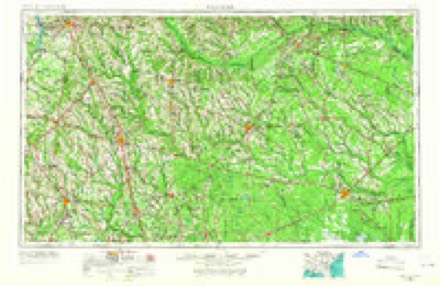
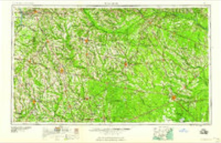
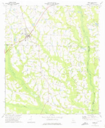
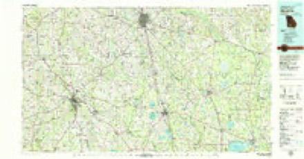
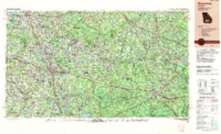
5 surveys from 8 printed sheetsMatched by testing this settlement's coordinate against the published boundary of every sheet in the United States Geological Survey's historical collection. Each opens the scanned sheet at the Survey.
- 1953 USGS Waycross quadrangle1:250000, 2 printings
- 1958 USGS Waycross quadrangle1:250000, 2 printings
- 1973 USGS Omega quadrangle1:24000
- 1979 USGS Moultrie quadrangle1:100000, 2 printings
- 1988 USGS Waycross quadrangle1:250000
Fires near this place
213 since 1992Regional context, not property-specific evidence. The federal wildfire occurrence database lists 213 fires within 5 miles of Omega between 1992 and 2020, burning about 772 acres in total. 6 started naturally. 33 were recorded as arson. Distance is straight-line from the map coordinates, so a fire counted here may appear on a neighbouring settlement's page as well.
| Reported cause | Fires |
|---|---|
| Debris and open burning | 145 |
| Arson/incendiarism | 33 |
| Missing data/not specified/undetermined | 12 |
| Equipment and vehicle use | 7 |
| Natural | 6 |
| Smoking | 4 |
| Misuse of fire by a minor | 3 |
| Recreation and ceremony | 3 |
The most recent of them, most recent first, with the day each was reported and the service that recorded it.
| Date | Cause | Size | Reported by | Name on the report |
|---|---|---|---|---|
| 9 September 1997 | Arson/incendiarism | under an acre | Georgia Forestry Commission | not named |
| 7 September 2011 | Debris and open burning | under an acre | Georgia Forestry Commission | FY2012-TIFT-006 |
| 6 September 2002 | Missing data/not specified/undetermined | under an acre | Georgia Forestry Commission | FY2003-TIFT-015 |
| 5 September 1999 | Debris and open burning | under an acre | Georgia Forestry Commission | not named |
| 5 September 1997 | Arson/incendiarism | under an acre | Georgia Forestry Commission | not named |
| 4 September 1999 | Misuse of fire by a minor | under an acre | Georgia Forestry Commission | not named |
| 30 September 2009 | Arson/incendiarism | 2.4 acres | Georgia Forestry Commission | not named |
| 29 September 2017 | Debris and open burning | under an acre | Georgia Forestry Commission | FY2018-COLQUITT-004 |
Settlements close enough to share some of these fires:
Storms near this place
22 since 2000Regional context, not property-specific evidence. The National Weather Service names Omega in 22 storm reports between 2000 and 2026: 13 thunderstorm wind, 5 tornado, 4 hail. The reports record 10 injuries. Each account below is quoted exactly as the forecast office filed it, from the NOAA Storm Events Database, and each date opens the federal record of that event.
| When | Event | Place named | Harm | What the report says |
|---|---|---|---|---|
| February 2000 | Tornado (F2) | Omega | 10 hurt, $2,000,000 | A strong tornado crossed U.S. Highway 319 from extreme northeast Colquitt County into extreme southwest Tift County, just south of Omega. Twelve mobile homes and eight pre-fabricated homes were destroyed. Numerous frame homes were damaged, including some moved off their block foundations. Ten persons were injured. Numerous trees and power lines were down. Just northeast of Omega, a school bus was blown into a nearby home. Tift County was declared a federal disaster area. Reported by the Tift County EMA. |
| March 2019 | Tornado (EF1) | Omega | $50,000 | An EF-1 tornado briefly touched down at the edge of a farm damaging snapping and uprooting trees along the path. Some were peach trees. When the tornado crossed Urbana Road, it blew out part of the foundation of a large garage causing the associated wall to bow outward. There was significant shingle damage to the|roof of this building. A bit further from the road, the tornado moved a large trailer, filled with air conditioning units and estimated to weigh 7000 lb in total, about 3 feet. The metal roof of the structure sheltering this and other vehicles was partially uplifted. The tornado lifted just beyond the edge of the property line. Damage cost was estimated. |
| December 2018 | Tornado (EF0) | Omega | $10,000 | A tornado touched down near Ty Ty Sparks Rd north of US 319 and traveled northeast across Flat Ford Rd and Keith-Fletcher Rd. The tornado lifted just after crossing Ty Ty Omega Rd. Damage was primarily confined to irrigation systems and trees. A substation sustained some damage as well. The tornado is rated EF0 with estimated maximum winds of 85 mph. |
| October 2015 | Thunderstorm Wind | Omega | $5,000 | Trees were blown down in Omega with one on the roof of a house. There had been recent heavy rain of 2.5-3 inches in the area, and it is possible with the saturated ground that these trees fell in sub-severe winds, but that is not known. Damage was estimated. |
| July 2015 | Thunderstorm Wind | Omega | $5,000 | Multiple trees and power lines were blown down across the county. |
| January 2015 | Tornado (EF1) | Omega | $3,000 | A brief EF1 tornado touched down. A portion of a screened-in porch was blown down, and a large portion of the roof of a small, old, barn building was removed. There were also some 8-12 inch diameter pine trees snapped at their trunks. Max winds were estimated at 95 mph. |
| August 2014 | Thunderstorm Wind | Omega | $2,000 | A power pole was blown down in Omega. |
| July 2012 | Thunderstorm Wind | Omega | $1,000 | Tift county 911 dispatch reported a power line blown down on Highway 319 near Omega. Monetary damage was estimated. |
| March 2026 | Thunderstorm Wind | Omega | - | Two trees were down with damage to a mailbox near Omega. |
| May 2024 | Thunderstorm Wind | Omega | - | A tree was blown down at the intersection of Flatford and Ty Ty Omega Roads. |
| May 2024 | Thunderstorm Wind | Omega | - | A tree was blown down at the intersection of New Street and Lamar Street. |
| April 2022 | Tornado (EFU) | Omega | - | This tornado was confirmed via video on social media and photo from emergency management. Other than a few trees down, no damage of note has been reported from this tornado, which passed through mostly farmland and unpopulated rural areas of Colquitt, Worth, and Tift counties. Therefore, the rating is left as EF Unknown. The location and time is estimated from the video, photos, and radar data. |
| April 2021 | Thunderstorm Wind | Omega | - | Several trees were blown down. |
| April 2020 | Thunderstorm Wind | Omega | - | A tree was blown down on Omega Ellenton Road. |
| March 2019 | Thunderstorm Wind | Omega | - | A couple of trees were blown down in Omega. |
| April 2018 | Thunderstorm Wind | Omega | - | A tree was blown down near the intersection of Mitchell Store Road and Omega-Eldorado Road. |
| December 2018 | Thunderstorm Wind | Omega | - | Trees were blown down near Highway 319 and Ty Ty Omega Road. |
| May 2012 | Hail | Omega | - | A deputy estimated hail around the size of quarters. |
| May 2012 | Hail | Omega | - | Quarter size hail fell east of Omega for around 20 minutes. |
| May 2012 | Hail | Omega | - | Quarter to half dollar size hail fell in Omega for around 20 minutes. It completely covered U.S. Highway 319 and damaged at least 100 acres of watermelon, cantaloupe, and cotton crops. Crop damage costs were estimated. |
| May 2012 | Thunderstorm Wind | Omega | - | A deputy estimated winds to 70 mph just north of Omega. |
| March 2024 | Hail | Omega | - | no account filed |
Nearest settlements
The eight closest, with where each one stands in the county. Distances are straight-line, computed from the Geographic Names Information System coordinates.
| Map | Place | Distance | Sheets |
|---|---|---|---|
| Iniss (historical) | 3.7 miles | 9 | |
| Excelsior | 4.5 miles | 9 | |
| Kelltown | 4.8 miles | 9 | |
| Eldorado | 5.8 miles | 8 | |
| Linder | 6.2 miles | 9 | |
| Unionville | 7.9 miles | 9 | |
| Phillipsburg | 7.9 miles | 9 | |
| Hillsdale | 8.7 miles | 9 |
Elsewhere
Matched on this settlement's Geographic Names Information System number rather than its name, so it cannot be a different place of the same name in another state.
| Wikipedia article on Omega | An encyclopaedic summary. Its text is share-alike, so it is linked here rather than copied. |
| Wikidata item Q2324028 | The structured record the population and elevation above come from. Public domain (CC0). |
Provenance
This settlement is recorded in the Geographic Names Information System as feature 332576. The sheet list is computed by point-in-boundary test against the United States Geological Survey's historical topographic inventory. Both are works of the United States government and carry no copyright under 17 U.S.C. 105.
Wildfire. Short, Karen C. 2022. Spatial wildfire occurrence data for the United States, 1992-2020 [FPA_FOD_20221014]. 6th Edition. Fort Collins, CO: Forest Service Research Data Archive. https://doi.org/10.2737/RDS-2013-0009.6 Collected with United States Government funding and usable without additional permissions or fees.
Storms. NOAA National Centers for Environmental Information, Storm Events Database https://www.ncei.noaa.gov/stormevents/ A work of the United States government, no copyright under 17 U.S.C. 105. Narratives are quoted verbatim from the National Weather Service report and are not edited or summarised.