 Block
From the record
4 National Register listings published here.
Sources: the National Register database, National Park Service
19 topographic sheets and 9 fire insurance atlases across 2 places.
4 National Register listings published here.
Sources: the National Register database, National Park Service
Taken for the Office of War Information and the Farm Security Administration, who photographed the country between 1935 and 1944. Works of United States government photographers, with no known restriction on use. Each opens its catalogue record.



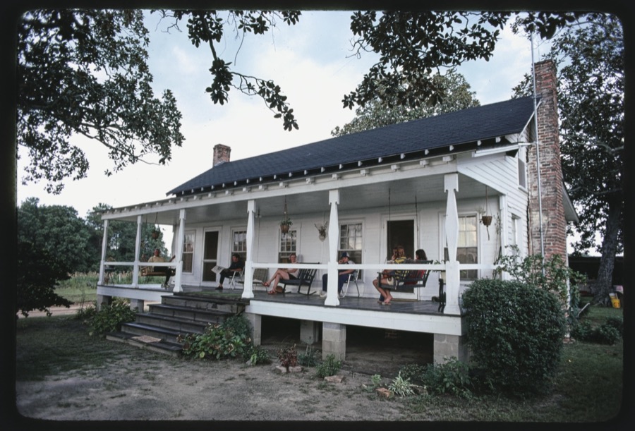






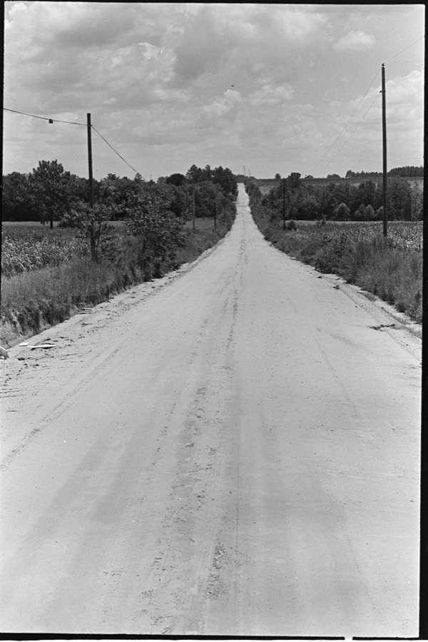









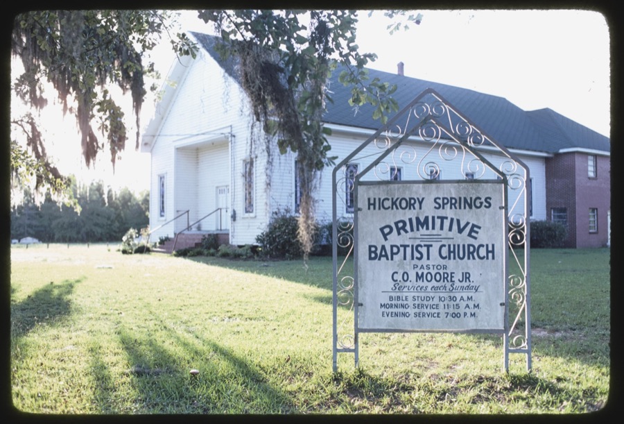

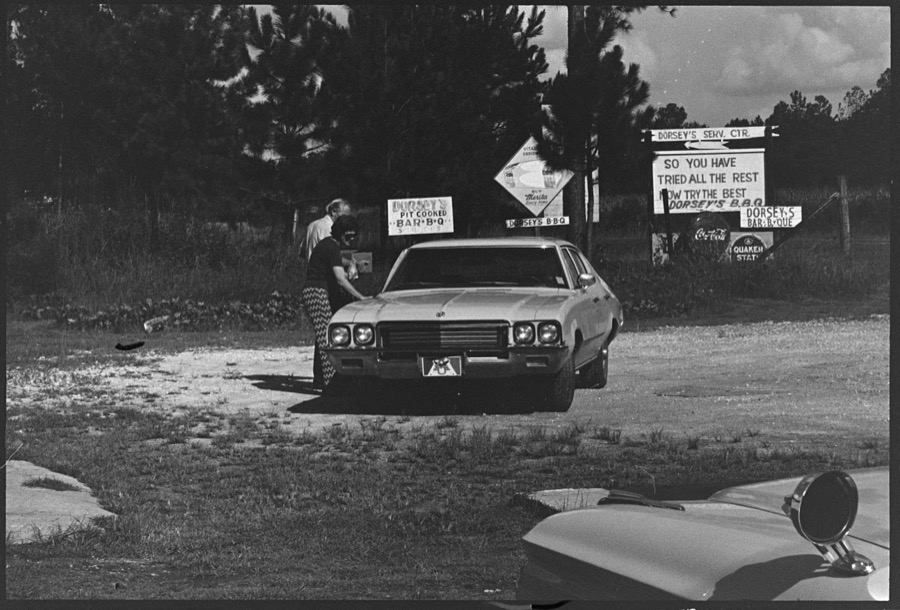


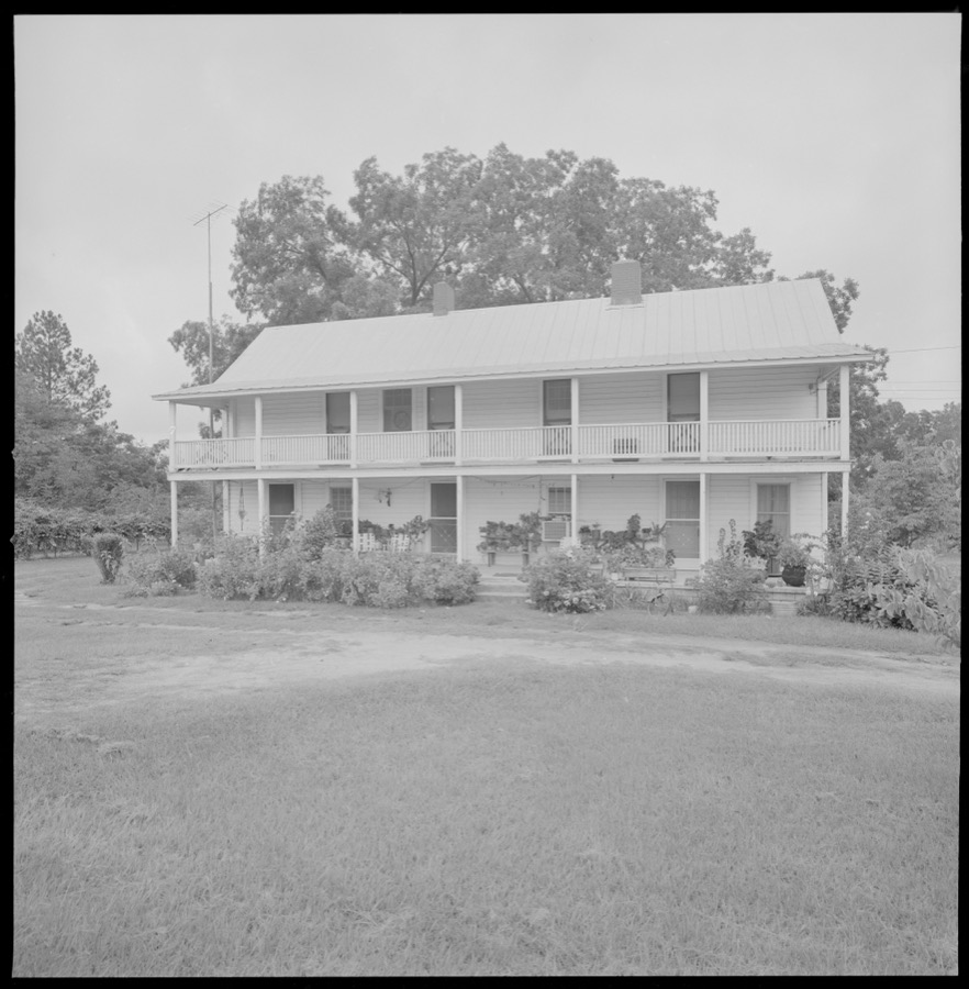



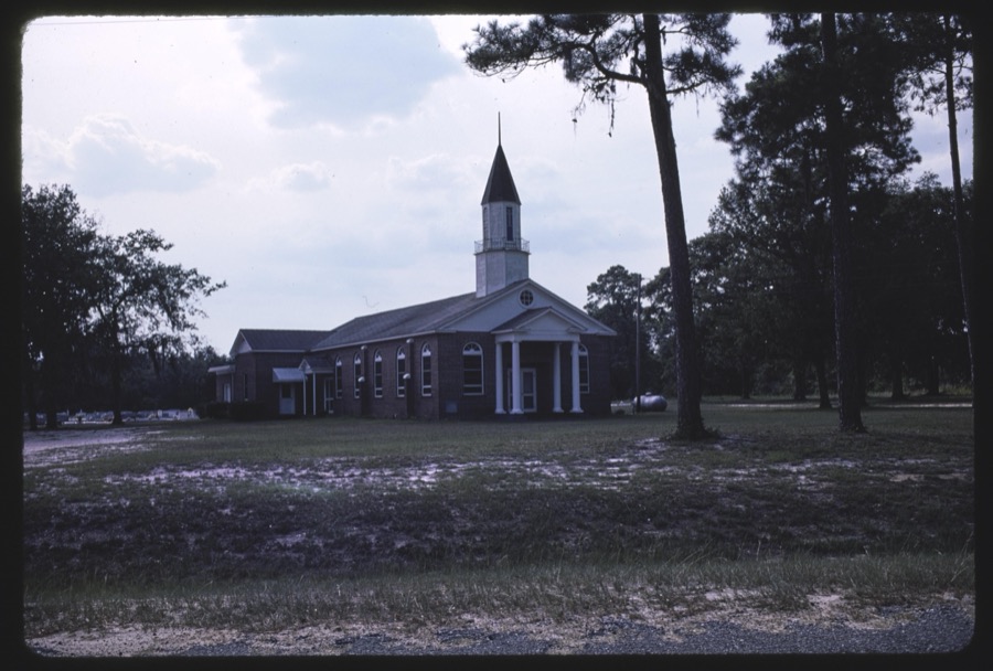










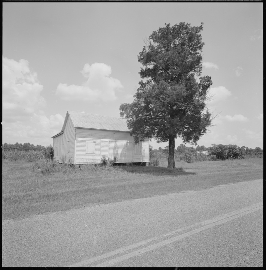

Every property in this county listed on the National Register of Historic Places, with the year it was listed and the federal nomination document.
| Photograph | Property | Type | Listed | Reference |
|---|---|---|---|---|
 | Tift County Courthouse | building | 1980 | 80001245 |
 | Tifton Commercial Historic District | district | 1986 | 86000382 |
| Tifton Commercial Historic District (Boundary Increase) | district | 1994 | 94000371 | |
 | Tifton Residential Historic District | district | 2008 | 08000355 |
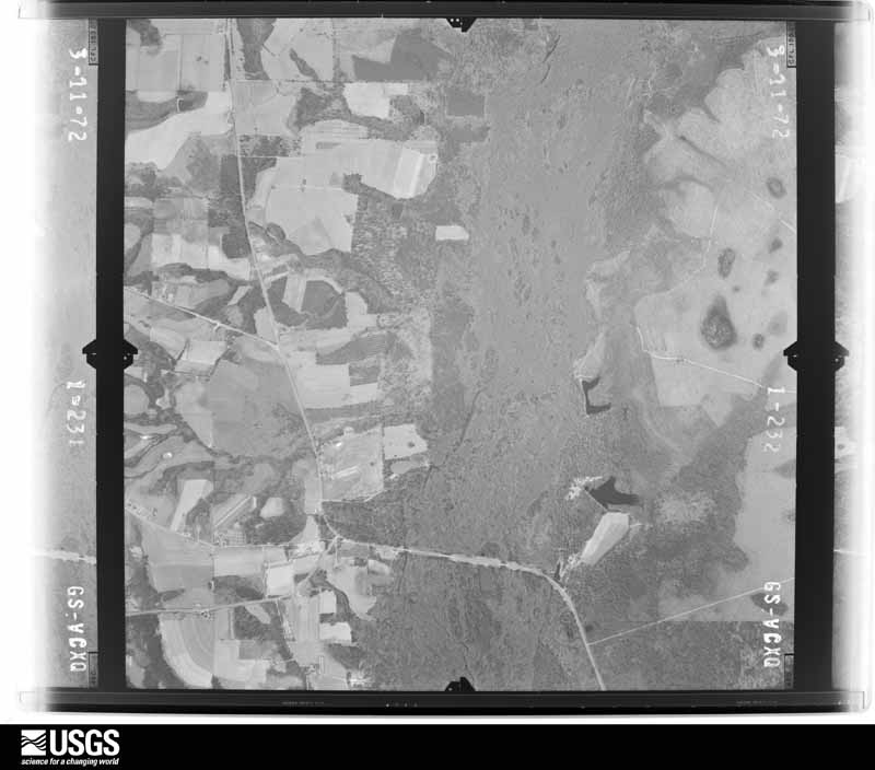
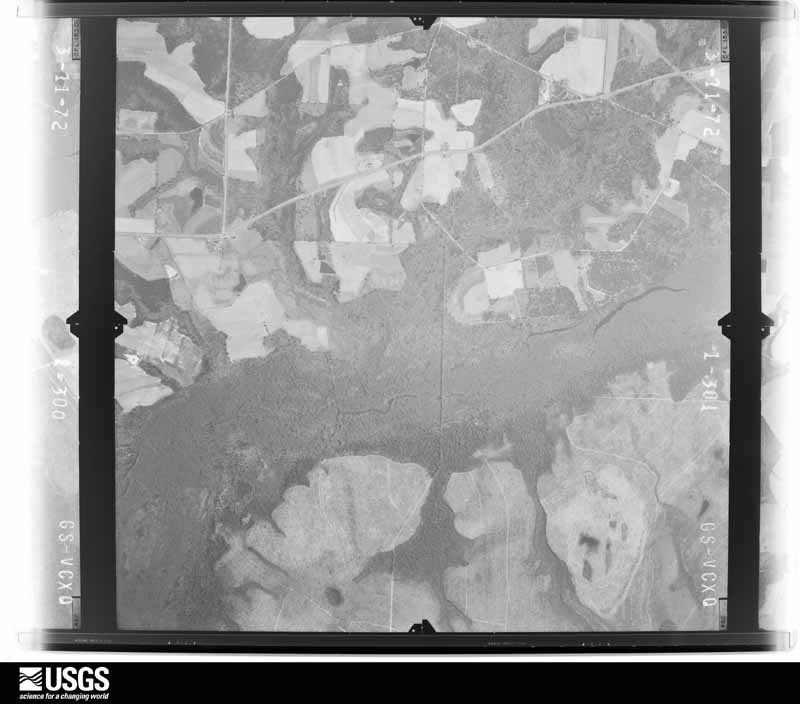
Flown by the U.S. Geological Survey between 1937 and 1989, the Aerial Photo Single Frames collection is the definitive mid-century view of the land: fields, roads and rivers as the camera saw them. The Survey holds 310 frames inside the rectangle that bounds this county; the 12 frames below were taken over the county itself, chosen across the decades of flights (at most four a year from that rectangle), so one flight cannot crowd out the rest. The full set is free to browse and download at EarthExplorer under the dataset Aerial Photo Single Frames.










The thermometers that kept this county's weather, and the gages that measured the flow of its streams, as the federal records hold them. The extremes below are measured values from those records, not estimates.
Who lived here in 1950, one enumeration district at a time, as the Census Bureau described each district. Each row opens its official National Archives result, with Population Schedules and ED Maps available there.
Every wildfire the federal occurrence database records inside this county: 1,761 of them, burning about 3,480 acres. 35 started naturally and 294 were recorded as arson. Each settlement page carries the fires within five miles of it.
| Reported cause | Fires |
|---|---|
| Debris and open burning | 1079 |
| Arson/incendiarism | 294 |
| Equipment and vehicle use | 112 |
| Smoking | 81 |
| Missing data/not specified/undetermined | 58 |
| Misuse of fire by a minor | 55 |
| Natural | 35 |
| Recreation and ceremony | 28 |
| Railroad operations and maintenance | 19 |
The five largest, by the area the report gives. Three of them were set deliberately.
| Date | Cause | Size | Reported by | Name on the report |
|---|---|---|---|---|
| 13 June 2011 | Debris and open burning | 131 acres | Georgia Forestry Commission | FY2011-TIFT-113 |
| 19 February 2005 | Debris and open burning | 51 acres | Georgia Forestry Commission | not named |
| 19 February 2002 | Arson/incendiarism | 49 acres | Georgia Forestry Commission | FY2002-TIFT-070 |
| 17 February 2007 | Arson/incendiarism | 48 acres | Georgia Forestry Commission | not named |
| 18 March 1999 | Debris and open burning | 43 acres | Georgia Forestry Commission | not named |
| 10 December 2007 | Recreation and ceremony | 43 acres | Georgia Forestry Commission | not named |
| 22 February 2007 | Arson/incendiarism | 43 acres | Georgia Forestry Commission | not named |
| 28 March 1992 | Debris and open burning | 42 acres | Georgia Forestry Commission | not named |
Every settlement page carries the fires within five miles of it - see the settlement index below.
The NOAA Storm Events Database holds 264 reports for this county, causing 1 death, 20 injuries and about $6,474,530 in recorded property damage. Each settlement page carries the reports that name it.
| Kind of event | Reports |
|---|---|
| Thunderstorm Wind | 158 |
| Hail | 48 |
| Tornado | 24 |
| Flood | 13 |
| Flash Flood | 9 |
| Heavy Rain | 7 |
| Lightning | 5 |
The most serious of them, by death, then injury, then recorded damage. The accounts are quoted exactly as the forecast office filed them.
| When | Event | Place named | Harm | What the report says |
|---|---|---|---|---|
| June 2007 | Lightning | Ty Ty | 1 killed, 2 hurt | Three men taking shelter under a pecan tree off Ty Ty-Sparkss Road were struck by lightning. Two of the men were injured and one was killed. |
| February 2000 | Tornado (F2) | Omega | 10 hurt, $2,000,000 | A strong tornado crossed U.S. Highway 319 from extreme northeast Colquitt County into extreme southwest Tift County, just south of Omega. Twelve mobile homes and eight pre-fabricated homes were destroyed. Numerous frame homes were damaged, including some moved off their block foundations. Ten persons were injured. Numerous trees and power lines were down. Just northeast of Omega, a school bus was blown into a nearby home. Tift County was declared a federal disaster area. Reported by the Tift County EMA. |
| May 1994 | Thunderstorm Wind | Chula | 2 hurt, $500,000 | Thunderstorm winds severely damaged two mobile homes, a storage house and downed several large trees in the Pleasant Grove Mobile Home Park on Rigdon Altman Road near United States Highway 41. Two people were slightly injured from shattered window glass. Tift county Emergency Management Officials estimated damage at $100,000. |
| January 1952 | Tornado (F1) | not stated | 2 hurt, $250,000 | no account filed |
| July 1986 | Thunderstorm Wind | not stated | 2 hurt | no account filed |
| July 1998 | Lightning | Tifton | 1 hurt, $75,000 | Lightning struck the Tift County E911 tower, briefly knocking out emergency radio communications during a severe thunderstorm. Lightning struck several trees and a gymnasium in Tifton causing minor damage.A woman was injured when lightning struck her Tifton home. |
| January 1953 | Tornado (F1) | not stated | 1 hurt, $25,000 | no account filed |
| March 2007 | Tornado (EF1) | Chula | $600,000 | The EF-1 tornado touched down west of Chula. It damaged 20 homes, of which seven were heavily damaged and 13 suffered minor damage. The tornado also snapped and uprooted numerous trees before it crossed into southeastern Turner County. |
| February 2013 | Flood | Sunsweet | $500,000 | Persistent moderate to heavy rainfall over a long duration led to a gradual accumulation of water that caused areal flooding. Around 9 roads were closed, some of which were heavily damaged. Water reached the bottom of the bridge at Old Brookfield Road from Christian Way to Carpenter Road. Monetary damage was estimated. |
| August 2012 | Flash Flood | Tifton | $250,000 | Significant flash flooding occurred across Tifton and extending eastward into eastern Tift county along Highway 82. In Tifton, the bottom floor of the Ramada Inn hotel had to be evacuated due to water entering the hotel. There was also water damage to the Shoney's restaurant in Tifton. Exit 59 off of I-75 was also closed due to flooding along with Highway 82 east of Tifton. Around 11 inches rain fell during the overnight hours across the area. Monetary damage was estimated. |
| November 1979 | Tornado (F1) | not stated | $250,000 | no account filed |
| December 1964 | Tornado (F2) | not stated | $250,000 | no account filed |
| April 1957 | Tornado (F1) | not stated | $250,000 | no account filed |
| February 2009 | Thunderstorm Wind | Ty Ty | $150,000 | Several roofs were damaged and vehicles were overturned. Trees and power lines were also down, with power outages and traffic lights out. |
| May 2006 | Lightning | Tifton | $150,000 | Lightning from an early evening thunderstorm was blamed for two house fires. Both structures suffered severe damage from flames and smoke. Reported by the Tifton Gazette. |
| April 2025 | Thunderstorm Wind | Brookfield | $100,000 | There were numerous reports of damage in the Brookfield community. Numerous large tree limbs were blown down. A mature pecan tree blew over and crushed a well house. There was roof damage to at least one residence. Someone reported their next door neighbors shed roof was blown into their yard. Two flag poles of unknown quality were broken. |
| April 2020 | Tornado (EF1) | Ty Ty | $100,000 | A brief tornado touched down just southwest of Highway 82, west of Ty Ty, GA where there was minor structural damage as well as widespread trees being uprooted and snapped. The tornado moved northeast and crossed Highway 82 where a member of the public reported seeing it. It then continued northeast with damage reported on Little River Road and Whiddon Mill Road which was consistent with radar signatures. Thank you to Worth County GA Emergency Management officials in their help in collecting damage points and pictures. |
| February 2014 | Tornado (EF0) | Hillsdale | $100,000 | A fairly narrow corridor of damage points began west of Salem Church Rd about 0.8 mi south of Hwy 82 to the WSW of the city of Tifton. In these areas, mainly tree damage was noted with some large tree limbs snapped and a few trees uprooted. This damage path continued ENE into the vicinity of the Little River, before re-emerging just south of (and along) Hwy 82 near some residences and businesses. The first area affected was a neighborhood of manufactured homes centered around a pond along the south side of Highway 82. Tree damage was noted just south of this with some snapped trees and limbs. One home that was sitting on blocks slid off the blocks and was blown approximately 20 feet. Most of the other homes had only minor damage. A chain link fence was blown down to the north on the south side of the pond, while two billboards mounted on wooden poles were blown down to the west right along Highway 82 (north of the pond). The wooden support poles were snapped. This was indicative of a convergent damage pattern associated with a tornado. Just to the east, near the intersection of Hwy 82 and Marshall Drive, two sheds were flipped and blown back to the southwest - further indicating a convergent damage pattern. Other light debris along Highway 82 was blown in a similar direction. The tornado likely then shifted its motion to slightly south of east, and affected several more businesses north of Marshall Drive and south of Highway 82. Security camera footage from a business in this area showed some swirling rain curtains before very low visibility in strong winds prior to a loss of power. A metal building under construction near the intersection of Carpenter Rd and Marshall Dr was damaged and partially collapsed. Because construction was incomplete, it likely made it easier for the wind to cause the structure to fail. As the tornado crossed Carpenter Rd it likely began to dissipate as damage began to get more sporadic further east by Highway 319. There was some tree damage east of Carpenter Rd, and both the Lowe`s and Wal-Mart to the south of Highway 82 indicated they had some minor roof damage with some AC units moved or tipped over. Monetary damage was estimated. |
| August 2000 | Thunderstorm Wind | Countywide | $100,000 | A severe thunderstorm swept through Tift County and blew down numerous trees, billboards, awnings and power lines. A large portion of a shelter fell on a vehicle at a gas station in Tifton. Minor damage to a car dealership on Highway 82 east of Tifton. A warehouse office trailer in Tifton was blown over on its side. Reported by the Tifton Gazette. |
| March 2019 | Tornado (EF1) | Omega | $50,000 | An EF-1 tornado briefly touched down at the edge of a farm damaging snapping and uprooting trees along the path. Some were peach trees. When the tornado crossed Urbana Road, it blew out part of the foundation of a large garage causing the associated wall to bow outward. There was significant shingle damage to the|roof of this building. A bit further from the road, the tornado moved a large trailer, filled with air conditioning units and estimated to weigh 7000 lb in total, about 3 feet. The metal roof of the structure sheltering this and other vehicles was partially uplifted. The tornado lifted just beyond the edge of the property line. Damage cost was estimated. |
| June 2015 | Hail | Vanceville | $50,000 | Roof and siding damage occurred due to very large hail in the Vanceville area. Damage was estimated. |
| June 2015 | Hail | Brookfield | $50,000 | A picture was submitted via social media that showed hail estimated at around hen egg size or 2 inches in diameter from Brookfield. Roof and siding damage occurred. Damage was estimated. |
| February 2014 | Thunderstorm Wind | Excelsior | $50,000 | An irrigation pivot was flipped along Isabella-Nashville Road to the southwest of the beginning of the tornado. More concentrated tree damage was located just east along Salem Church Road as well. Further wind damage was noted in the city of Tifton, mainly to the south and southeast of the tornado damage path. In addition to being slightly south of the trajectory of the tornado, the damage in this area was not continuous, more sporadic, and was in a consistent direction (blown in a general NE direction). Therefore, it was determined that this was likely due to NON-tornadic winds. The damage was most notable from near Old Omega Rd and I-75 east towards the vicinity of Beech Street south of downtown. The damage in these areas mostly consisted of tree limbs snapped off or trees uprooted. There was some metal roofing taken off a building along Beech street as well. A couple street signs were blown down. Winds were estimated at 65-75 mph. Monetary damage was estimated. |
| June 2013 | Thunderstorm Wind | Vanceville | $50,000 | Tift county Emergency Management reported one house with significant damage at 1886 U.S. 82 East. The EM survey indicated straight line wind damage, likely due to a microburst. Pea sized hail was also reported in the area. Monetary damage was estimated. |
| April 2011 | Thunderstorm Wind | Tifton | $50,000 | Numerous trees and power lines were blown down with thousands of people without power. Tift Area Academy closed for the day because of storm damage to the school. The monetary damage figure provided is a rough estimate. |
| January 2006 | Flood | Countywide | $50,000 | Five inches of rain within a six-hour period caused flooding and forced road closures throughout the county. One of the more dramatic scenes of flooding was between a restaurant and motel on U.S. Highway 82 East, where the parking lot was washed away. Torrents of water from a nearby creek flooded some rooms of the motel. Many county roads were barricaded by deputies and road crews until the water receded. Reported by the Tifton Gazette. |
| December 2002 | Thunderstorm Wind | Tifton | $50,000 | Numerous trees and power lines were down throughout the city. Several trees fell on houses near U.S. Highway 125 north of Tifton. A home lost part of its roof. Reported by Tift County 911. |
| June 2009 | Thunderstorm Wind | Tifton | $25,000 | Many trees were down just east of Interstate 75 from south of Tifton to near Eldorado. One house was damaged by a fallen tree. |
| May 1978 | Tornado (F1) | not stated | $25,000 | no account filed |
| May 1967 | Tornado (F2) | not stated | $25,000 | no account filed |
| March 1962 | Tornado (F1) | not stated | $25,000 | no account filed |
| April 1955 | Tornado (F2) | not stated | $25,000 | no account filed |
| March 1996 | Hail | Tifton | $20,000 | no account filed |
| January 2013 | Thunderstorm Wind | Ty Ty | $15,000 | Trees and power lines were blown down across Tift county along with minor damage to 4 homes. The home damage was obtained via a Georgia Emergency Management tweet. Monetary damage was estimated. |
| March 2012 | Flood | Fender | $15,000 | A small earthen dam broke on the northern end of Lake Larry and affected one home at 228 Omega-Eldorado Road. The water crossed Omega-Eldorado Road and Union Road and entered the home to a depth of approximately 4 inches. Country drain pipes were also damaged. Heavy rainfall of around 4.00 inches from March 3rd contributed to the dam failure. Monetary damage was estimated. |
| February 2009 | Thunderstorm Wind | Tifton | $15,000 | Several trees were blown down. A shed at Veazey Farms was destroyed. Power lines were suspended above a home on Leeann Drive when the pole snapped in half. A pine tree fell on power lines at another home on the same street. |
| March 2005 | Thunderstorm Wind | Countywide | $15,000 | Numerous downed trees and power lines reported by the Tift County Sheriff. |
| December 2005 | Thunderstorm Wind | Countywide | $15,000 | Numerous reports of downed trees and power lines. A small truck flipped over in the southbound lane of Interstate 75 near Exit 69. Reported by the Tift County Sheriff. |
| December 2018 | Tornado (EF0) | Omega | $10,000 | A tornado touched down near Ty Ty Sparks Rd north of US 319 and traveled northeast across Flat Ford Rd and Keith-Fletcher Rd. The tornado lifted just after crossing Ty Ty Omega Rd. Damage was primarily confined to irrigation systems and trees. A substation sustained some damage as well. The tornado is rated EF0 with estimated maximum winds of 85 mph. |
| August 2016 | Thunderstorm Wind | Hillsdale | $10,000 | A tree was blown down onto a vehicle on Highway 82W. |
| January 2015 | Tornado (EF1) | Brookfield | $10,000 | In addition to several downed trees, there was substantial damage to the roof at a church in Brookfield. During their Sunday morning Service, church members quickly took cover under their pews when the wind became loud and their heavy front door was torn apart. The main damage occurred when the steeple fell to the ground. Several shingles were stripped from the roof, and two church storage sheds were destroyed. Miraculously no one was injured. There were several more trees down with this tornado than the first one, including large pine trees (2-3 ft diameter) and large magnolia trees. Max winds were estimated at 100 mph. |
| June 2001 | Lightning | Tifton | $10,000 | Lightning struck the 911 communications tower in Tifton. Several power lines down along U.S. Highway 82 just east of Tifton. Reported by the Tift County Sheriff. |
| June 1998 | Thunderstorm Wind | Countywide | $10,000 | Trees and power lines down countywide. |
| June 1997 | Thunderstorm Wind | Tifton | $10,000 | no account filed |
| June 2011 | Thunderstorm Wind | Brookfield | $8,000 | Multiple trees and power lines were blown down across the eastern half of the county. The monetary damage figure provided is a rough estimate. |
| January 2023 | Thunderstorm Wind | Sunsweet | $5,000 | Multiple trees and power lines were blown down along Cromer Road with one tree down on a house. |
| October 2015 | Thunderstorm Wind | Omega | $5,000 | Trees were blown down in Omega with one on the roof of a house. There had been recent heavy rain of 2.5-3 inches in the area, and it is possible with the saturated ground that these trees fell in sub-severe winds, but that is not known. Damage was estimated. |
| July 2015 | Thunderstorm Wind | Omega | $5,000 | Multiple trees and power lines were blown down across the county. |
| June 2009 | Thunderstorm Wind | Fender | $5,000 | Two large downed trees damaged a barn and dog pen at a residence on Highway 125 South about seven miles southeast of Tifton. |
| July 2007 | Thunderstorm Wind | Ty Ty | $5,000 | Numerous trees and utility poles were down throughout the county. |
| February 2007 | Thunderstorm Wind | Tifton | $5,000 | The Tift County EMA reported numerous downed trees and power lines throughout the city. A pontoon boat was blown off a road. |
| April 2006 | Thunderstorm Wind | Countywide | $5,000 | The Tift County EMA reported downed trees and power lines throughout the county. |
| June 1999 | Thunderstorm Wind | Tifton | $5,000 | Tifton County 911 dispatcher reported downed power lines. |
| April 1998 | Thunderstorm Wind | Tifton | $5,000 | Thunderstorm winds split a double wide mobile home near the Tift-Worth county line (approximately 8 miles west of Tifton). |
| March 1993 | Thunderstorm Wind | Tifton | $5,000 | Thunderstorm winds destroyed one $800 patio shed and downed a few large trees. |
| March 2026 | Thunderstorm Wind | Sunsweet | $4,000 | A porch roof was blown off a house on Whiddon Rd. |
| April 2022 | Thunderstorm Wind | Tifton | $4,000 | Power lines were blown down at Ridge Ave S and 13th Street and Mullis Rd and Alabama Ave. |
| August 2023 | Thunderstorm Wind | Harding | $3,000 | Trees were blown down on Mount Olive Church Road. One tree fell onto a parked and unoccupied school bus. |
| June 2021 | Lightning | Tifton | $3,000 | A transformer was struck by lightning. |
| June 2018 | Thunderstorm Wind | Tifton | $3,000 | Several trees and power lines were blown down in Tifton. |
Named settlements recorded in the Geographic Names Information System, each with the topographic sheets covering it. Villages, hamlets and abandoned places alike. Each is shown with the nearest named watercourse or landform and the survey quadrangle it falls on. The 2 places that were also surveyed for fire insurance come first, with the number of atlases and photographs held for them.
Tifton census division · 31794 · Tifton West quadrangle
9 sheets, 1953 to 1988
Fire insurance: 7 atlases
Ty Ty census division · 31795 · Ty Ty quadrangle
8 sheets, 1953 to 1988
Fire insurance: 2 atlases
Ty Ty census division · 31793 · On Big Branch · Tifton West quadrangle
9 sheets, 1953 to 1988
Chula census division · 31733 · Waterloo quadrangle
8 sheets, 1953 to 1988
No longer a settlement
Omega census division · 31793 · Tifton West quadrangle
9 sheets, 1953 to 1988
No longer a settlement
Tifton census division · 31793 · On Mill Creek · Tifton West quadrangle
9 sheets, 1953 to 1988
The vanished settlements of Tift County: the places named above that are no longer on the map.
9 topographic sheets and 7 fire insurance atlases, 1898 to 1948
The complete index, with nothing left out. Each of these is a separate record with its own page: a federal survey report, or the case file that argued a property on to the National Register. Both are public domain and reproduced word for word.
The vanished settlements of Tift County, the places these records name that are no longer on the map.