 Block
Roundtop, Georgia
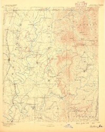
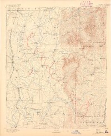
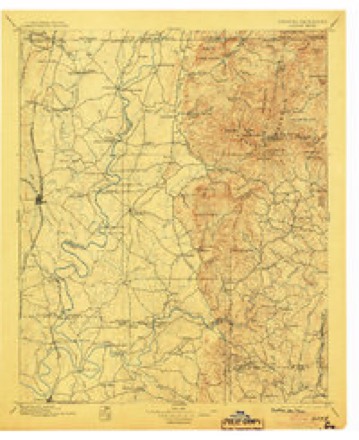
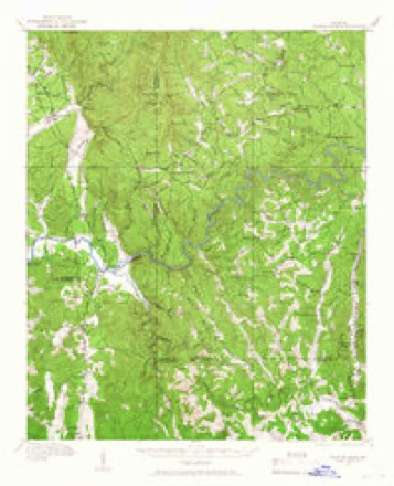
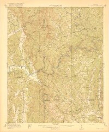
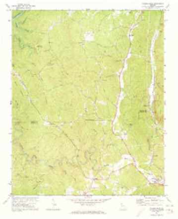
20 topographic sheets cover this place, the earliest surveyed in 1886 and the latest in 1981. It stands in the Carters Lake census division. It lies in ZIP code area 30540. The Survey maps it on the Talking Rock quadrangle.
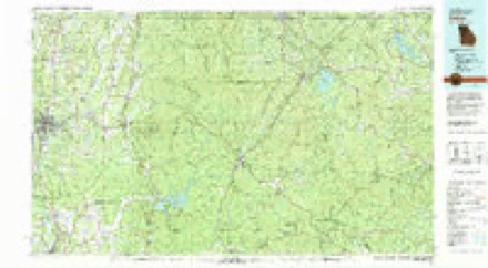
Topographic sheets covering this place
11 surveys from 20 printed sheetsMatched by testing this settlement's coordinate against the published boundary of every sheet in the United States Geological Survey's historical collection. Each opens the scanned sheet at the Survey.
- 1886 USGS Dalton quadrangle1:125000
- 1892 USGS Dalton quadrangle1:125000
- 1897 USGS Dalton quadrangle1:125000, 4 printings
- 1914 USGS Talking Rock quadrangle1:62500, 2 printings
- 1916 USGS Talking Rock quadrangle1:62500, 2 printings
- 1955 USGS Rome quadrangle1:250000
- 1958 USGS Rome quadrangle1:250000, 3 printings
- 1961 USGS Rome quadrangle1:250000
- 1963 USGS Rome quadrangle1:250000
- 1971 USGS Talking Rock quadrangle1:24000, 3 printings
- 1981 USGS Dalton quadrangle1:100000




Fires near this place
207 since 1992Regional context, not property-specific evidence. The federal wildfire occurrence database lists 207 fires within 5 miles of Roundtop between 1992 and 2020, burning about 1,021 acres in total. 2 started naturally. 72 were recorded as arson. Distance is straight-line from the map coordinates, so a fire counted here may appear on a neighbouring settlement's page as well.
| Reported cause | Fires |
|---|---|
| Debris and open burning | 96 |
| Arson/incendiarism | 72 |
| Missing data/not specified/undetermined | 17 |
| Smoking | 8 |
| Misuse of fire by a minor | 4 |
| Equipment and vehicle use | 4 |
| Recreation and ceremony | 4 |
| Natural | 2 |
The most recent of them, most recent first, with the day each was reported and the service that recorded it.
| Date | Cause | Size | Reported by | Name on the report |
|---|---|---|---|---|
| 9 September 1998 | Debris and open burning | 2.0 acres | Georgia Forestry Commission | not named |
| 7 September 1999 | Recreation and ceremony | under an acre | Georgia Forestry Commission | not named |
| 14 September 1993 | Arson/incendiarism | 1.3 acres | Georgia Forestry Commission | not named |
| 11 September 1993 | Debris and open burning | under an acre | Georgia Forestry Commission | not named |
| 10 September 2002 | Debris and open burning | 1.1 acres | Georgia Forestry Commission | FY2003-GILMER-006 |
| 30 August 1998 | Missing data/not specified/undetermined | under an acre | Georgia Forestry Commission | not named |
| 3 August 2002 | Debris and open burning | under an acre | Georgia Forestry Commission | FY2003-GILMER-001 |
| 2 August 2006 | Equipment and vehicle use | under an acre | Georgia Forestry Commission | not named |
Settlements close enough to share some of these fires:
Mines and quarries near this place
10 of 13 shownRegional context, not property-specific evidence. The federal mineral resources record lists 13 workings within 5 miles of Roundtop: 7 past producers, 4 producers, 1 plant, 1 prospect. 5 still produce. What was taken out: Stone, Crushed/Broken, Marble, Dimension, Iron. Distance is straight-line from the map coordinates, so a quarry counted here may appear on a neighbouring settlement's page as well.
| Where | Site | Commodity | Status | Recorded |
|---|---|---|---|---|
| Georgia-Tioga Iron Co. Mine | Iron | Past Producer | Residual | |
| Georgia-Tioga Iron Company Mine | Iron | Past Producer | ||
| Tioga Iron Co Mine | Iron | Past Producer | ||
| Lots 142 & 143 | Marble, Dimension | Prospect | ||
| Marble Quarry Unnamed | Marble, Dimension | Past Producer | ||
| Marble Quarry Unnamed | Marble, Dimension | Past Producer | ||
| Unnamed Marble Mine | Marble, Dimension | Past Producer | ||
| Gilmer County Quarry No. 1 | Stone, Crushed/Broken | Producer | ||
| Mill No 1 Ga Marble Co | Stone, Crushed/Broken | Producer | ||
| Mill Nos 2 & 3 Ga Marble Co | Stone, Crushed/Broken | Plant |
Storms near this place
4 since 2009Regional context, not property-specific evidence. The National Weather Service names Roundtop in 4 storm reports between 2009 and 2014: 2 thunderstorm wind, 2 tornado. No death or injury is recorded in these reports. Each account below is quoted exactly as the forecast office filed it, from the NOAA Storm Events Database, and each date opens the federal record of that event.
| When | Event | Place named | Harm | What the report says |
|---|---|---|---|---|
| April 2011 | Tornado (EF1) | Roundtop | $1,000,000 | A survey conducted by the National Weather Service Forecast Office in Peachtree City, Georgia in conjunction with the Gilmer County Emergency Management Director confirmed that a brief EF1 tornado, sandwiched between two microbursts, had touched down in west central Gilmer county approximately 3.5 miles southeast of Tails Creek or just northeast of Carters Lake and traveled east-northeast 2.6 miles before lifting. The maximum path width was determined to be 1/2 mile wide with maximum winds estimated to be 100 mph. Hundreds of trees were either blown down, uprooted, or snapped along the path of the tornado as it traveled through the Rose Garden subdivision. Approximately 100 homes in this area sustained at least minor damage as large trees fell on the structures. Several sustained major damage. There were reports from Atlanta television media that several people were trapped in their homes during this event, but this information was not confirmed. No injuries or fatalities were reported from this event.||[04/04-04/05/11: Tornado #1, County #1-1, EF1, Gilmer, 2011:003]. |
| June 2014 | Tornado (EF0) | Roundtop | $50,000 | A National Weather Service survey team determined that a weak EF-0 tornado touched down just north of Round Top on Old Round Top Road, tracking eastward through the Rolling Meadows subdivision. The tornado nearly paralleled Old Round Top Road. Approximately 20 trees were either snapped or uprooted. A couple of trees were reported to have fallen on a house and some cars.|[06/05/14: Tornado #1, County #1-1, EF0, Gilmer, 2014:008]. |
| April 2011 | Thunderstorm Wind | Roundtop | $5,000 | The Gilmer County Emergency Management Director reported that up to 20 trees were blown down or uprooted across the southern part of the county. |
| August 2009 | Thunderstorm Wind | Roundtop | $3,000 | The Gilmer County Emergency Management Director reported that at least 10 trees were down across mainly the western portion of the county from the southwest corner at the Pickens county line to just northeast of Ellijay. |
Nearest settlements
The eight closest, with where each one stands in the county. Distances are straight-line, computed from the Geographic Names Information System coordinates.
| Map | Place | Distance | Sheets |
|---|---|---|---|
| Town Creek | 2.0 miles | 20 | |
| Talona | 2.9 miles | 20 | |
| Tioga | 3.3 miles | 20 | |
| Gartrell (historical) | 4.0 miles | 20 | |
| Carlisle (historical) | 4.0 miles | 20 | |
| Whitestone | 4.2 miles | 20 | |
| Ella Gap | 4.4 miles | 17 | |
| Webb | 4.8 miles | 19 |
Provenance
This settlement is recorded in the Geographic Names Information System as feature 332935. The sheet list is computed by point-in-boundary test against the United States Geological Survey's historical topographic inventory. Both are works of the United States government and carry no copyright under 17 U.S.C. 105.
Wildfire. Short, Karen C. 2022. Spatial wildfire occurrence data for the United States, 1992-2020 [FPA_FOD_20221014]. 6th Edition. Fort Collins, CO: Forest Service Research Data Archive. https://doi.org/10.2737/RDS-2013-0009.6 Collected with United States Government funding and usable without additional permissions or fees.
Mines and quarries. USGS Mineral Resources Data System (MRDS) https://mrdata.usgs.gov/mrds/ A work of the United States government, no copyright under 17 U.S.C. 105.
Storms. NOAA National Centers for Environmental Information, Storm Events Database https://www.ncei.noaa.gov/stormevents/ A work of the United States government, no copyright under 17 U.S.C. 105. Narratives are quoted verbatim from the National Weather Service report and are not edited or summarised.