 Block
Savannah, Georgia
17 topographic sheets cover this place, the earliest surveyed in 1942 and the latest in 1981. It stands in the Savannah census division. It lies in ZIP code area 31401. It sits by Yamacraw Bluff. The Survey maps it on the Savannah quadrangle. 147,780 people lived here at the 2020 count. It stands 49 feet above sea level.
Research this city
On record in Savannah
Buildings and businesses the archive holds for this place. Each opens its own page, with the source record it came from.
On the National Register 12 of 57 shown
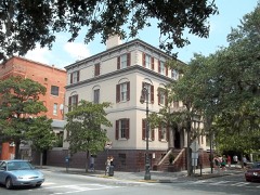 Andrew Low HouseNational Historic Landmark · listed 1966
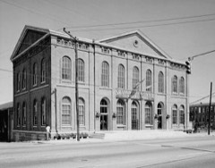 Battlefield Park, Carpentry ShopNational Historic Landmark · listed 1978
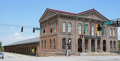 Central of Georgia Depot and TrainshedNational Historic Landmark · listed 1976
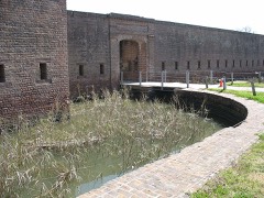 Fort James JacksonNational Historic Landmark · listed 1970
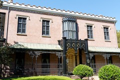 Green-Meldrim HouseNational Historic Landmark · listed 1974
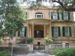 Owens-Thomas HouseNational Historic Landmark · listed 1976
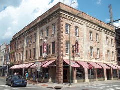 Savannah Historic DistrictNational Historic Landmark · listed 1966
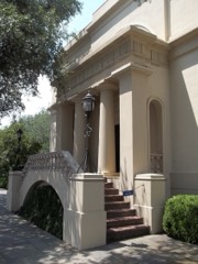 William Scarbrough HouseNational Historic Landmark · listed 1970
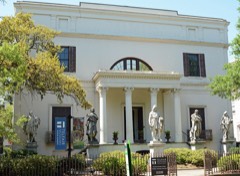 Telfair AcademyNational Historic Landmark · listed 1976
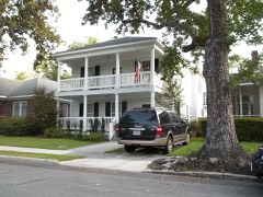 Ardsley Park-Chatham Crescent Historic Districtlisted 1985
 Atlantic Greyhound Bus Terminallisted 2016
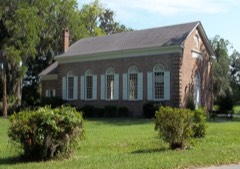 Bethesda Home for Boyslisted 1973
Every listing in Chatham County
Surveyed buildings and structures 12 of 154 shown
- 103-109 East President Street (Houses), Savannahfederal building survey, 5 photographs
- 108 West Jones Street (House), Savannahfederal building survey, 4 photographs
- 115 West Oglethorpe Street (House, Doorway), Savannahfederal building survey, 1 photograph
- 118 & 124 East Harris Street (House), Savannahfederal building survey, 1 photograph
- 312 & 314 Broughton Street (Houses), Savannahfederal building survey, 2 photographs
- 504-506 East Hall Lane (House), Savannahfederal building survey, 9 photographs
- 621 Ruben Street (House), Savannahfederal building survey, 9 photographs
- Abram Minis House, 204 East Jones Street, Savannahfederal building survey, 5 photographs
- Abram Minis House, Carriage House, 204 East Jones Street, Savannahfederal building survey, 3 photographs
- Anderson-Leslie House, 4 West Oglethorpe Street, Savannahfederal building survey, 5 photographs
- Anderson-Preston House, 14 East Oglethorpe Street, Savannahfederal building survey, 4 photographs
- Archibald Smith's Factor's Building, 202-206 East Bay Street, Savannahfederal building survey, 1 photograph
Population over time
5 figuresSavannah grew from 141,390 to 147,780 between 1980 and 2020. These are the recorded population figures Wikidata holds for this place, reached through the Geographic Names Information System number this page is keyed on rather than by name, so they belong to this place and not to another of the same name. Most are census counts, but not all are: an early figure may be a founding or settlement estimate, and an estimate published within five years of a census is left out. The change column is computed, and is left blank where more than 20 years separate a figure from the one before it, because a gap that long is not a change between two counts.
| Year | People | Change |
|---|---|---|
| 1980 | 141,390 | |
| 1990 | 137,812 | -3,578 (-3%) |
| 2000 | 131,510 | -6,302 (-5%) |
| 2010 | 136,286 | +4,776 (+4%) |
| 2020 | 147,780 | +11,494 (+8%) |
Topographic sheets covering this place
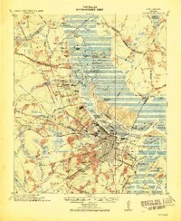
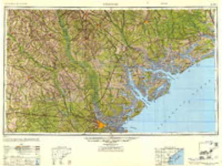
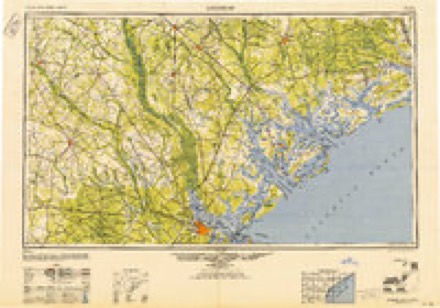
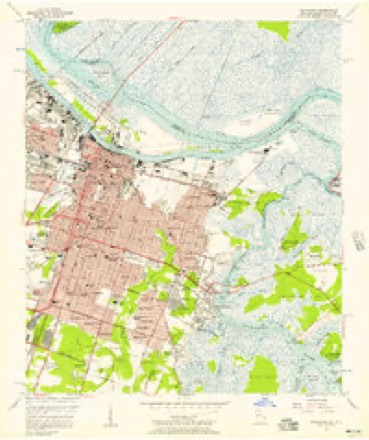
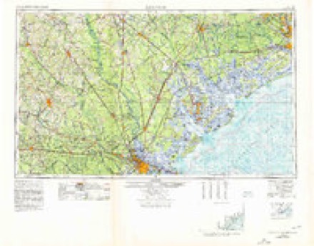
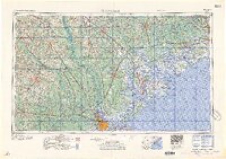
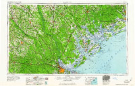
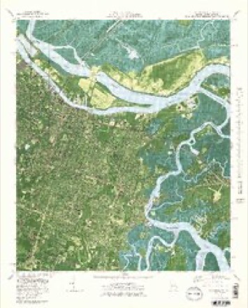
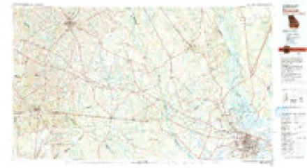
9 surveys from 17 printed sheetsMatched by testing this settlement's coordinate against the published boundary of every sheet in the United States Geological Survey's historical collection. Each opens the scanned sheet at the Survey.
- 1942 USGS Savannah quadrangle1:62500
- 1947 USGS Savannah quadrangle1:250000
- 1948 USGS Savannah quadrangle1:250000
- 1955 USGS Savannah quadrangle1:24000, 3 printings
- 1957 USGS Savannah quadrangle1:250000, 4 printings
- 1960 USGS Savannah quadrangle1:250000
- 1961 USGS Savannah quadrangle1:250000, 2 printings
- 1978 USGS Savannah quadrangle1:24000, 3 printings
- 1981 USGS Savannah quadrangle1:100000
What the histories say of this town
247,016 words1 chapter about Savannah from the published histories of the county, public domain and reproduced complete.
| Chapter | From | Length |
|---|---|---|
| History | A History of Savannah and South Georgia (1913) | 247,016 words in 16 parts |
Photographs
8 of 49 photographs shown, 1939 to 2020Taken for the Office of War Information and the Farm Security Administration, who photographed the country between 1935 and 1944. Works of United States government photographers, with no known restriction on use. Each opens its catalogue record.
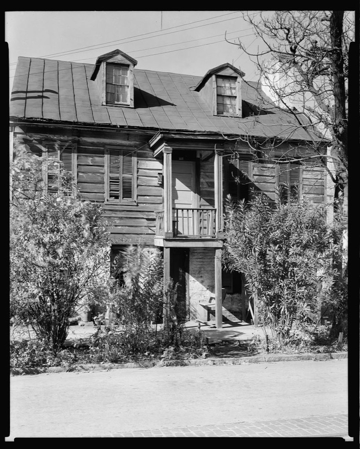
Johnston, Frances Benjamin, 1939. Library of Congress

Highsmith, Carol M, 2020. Library of Congress
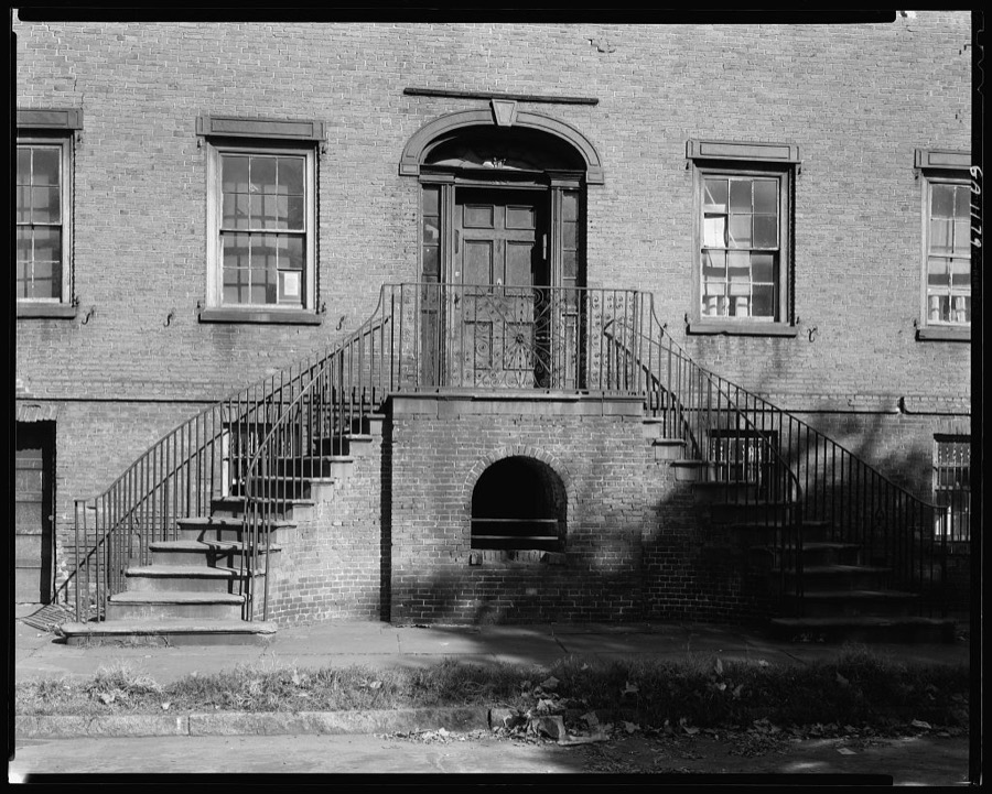
Johnston, Frances Benjamin, 1939. Library of Congress
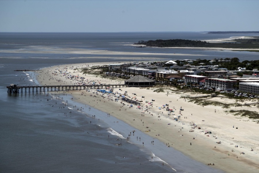
Highsmith, Carol M, 2017. Library of Congress
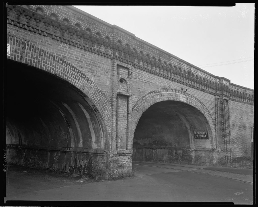
Johnston, Frances Benjamin, 1939. Library of Congress
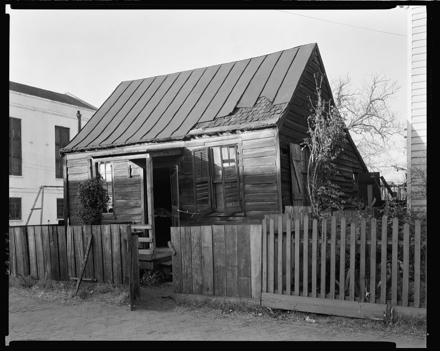
Johnston, Frances Benjamin, 1939. Library of Congress
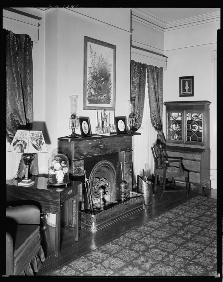
Johnston, Frances Benjamin, 1939. Library of Congress
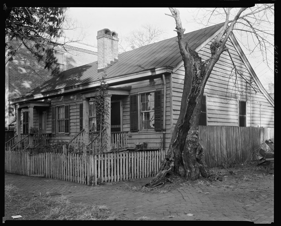
Johnston, Frances Benjamin, 1939. Library of Congress
Every photograph of Chatham County
Fires near this place
97 since 1992Regional context, not property-specific evidence. The federal wildfire occurrence database lists 97 fires within 5 miles of Savannah between 1992 and 2019, burning about 2,553 acres in total. 2 started naturally. 17 were recorded as arson. Distance is straight-line from the map coordinates, so a fire counted here may appear on a neighbouring settlement's page as well.
| Reported cause | Fires |
|---|---|
| Railroad operations and maintenance | 34 |
| Arson/incendiarism | 17 |
| Debris and open burning | 17 |
| Equipment and vehicle use | 8 |
| Missing data/not specified/undetermined | 8 |
| Misuse of fire by a minor | 7 |
| Recreation and ceremony | 3 |
| Natural | 2 |
| Smoking | 1 |
The most recent of them, most recent first, with the day each was reported and the service that recorded it.
| Date | Cause | Size | Reported by | Name on the report |
|---|---|---|---|---|
| 25 August 2016 | Arson/incendiarism | 2.0 acres | Georgia Forestry Commission | FY2017-CHATHAM-004 |
| 4 July 2019 | Natural | 279 acres | Savannah Refuges | EAST MARSH |
| 19 July 1995 | Railroad operations and maintenance | under an acre | Georgia Forestry Commission | not named |
| 26 June 2008 | Natural | 1.0 acres | Georgia Forestry Commission | not named |
| 20 June 1993 | Arson/incendiarism | 2.2 acres | Georgia Forestry Commission | not named |
| 14 June 2004 | Missing data/not specified/undetermined | under an acre | Savannah Refuges | FIFE 3 |
| 1 June 2008 | Equipment and vehicle use | 1.0 acres | Georgia Forestry Commission | not named |
| 6 May 1992 | Equipment and vehicle use | under an acre | Georgia Forestry Commission | not named |
Settlements close enough to share some of these fires:
Mines and quarries near this place
4 within 5 milesRegional context, not property-specific evidence. The federal mineral resources record lists 4 workings within 5 miles of Savannah: 2 past producers, 1 producer, 1 plant. 2 still produce. What was taken out: Gypsum-Anhydrite, Sand and Gravel, Construction, Titanium, Pigment. Distance is straight-line from the map coordinates, so a quarry counted here may appear on a neighbouring settlement's page as well.
| Where | Site | Commodity | Status | Recorded |
|---|---|---|---|---|
| Douglas Sand Pit | Sand and Gravel, Construction | Producer | ||
| Savannah Plant Ti | Titanium, Pigment | Plant | 1955 | |
| Flintkote/ Savannah, Ga. | Gypsum-Anhydrite | Past Producer | ||
| National Gypsum/ Savannah, Ga. | Gypsum-Anhydrite | Past Producer |
Storms near this place
60 of 182 shownRegional context, not property-specific evidence. The National Weather Service names Savannah in 182 storm reports between 1993 and 2025: 97 thunderstorm wind, 38 hail, 31 flash flood, 11 lightning. The reports record 2 deaths and 7 injuries. Each account below is quoted exactly as the forecast office filed it, from the NOAA Storm Events Database, and each date opens the federal record of that event.
| When | Event | Place named | Harm | What the report says |
|---|---|---|---|---|
| May 2005 | Thunderstorm Wind | Savannah | 1 killed, 1 hurt | 1 fatality, 1 injury. High winds knocked tree down on car near the intersection of Eisenhower Drive and Waters Avenue. |
| June 2001 | Lightning | Savannah | 1 killed, 1 hurt | Construction foreman was killed while trying to clear his crew from a construction site. After the bolt struck the foreman, it traveled through the ground and struck another worker, coming up through the ground into the leg of a 43 year old male worker. |
| July 1996 | Flash Flood | Savannah | 2 hurt, $1,000,000 | no account filed |
| August 1999 | Lightning | Savannah | 2 hurt | Lightning caused two fires. One near Whitfield Park and one near Skidaway Island. Two firefighters were injured bringing the fires under control. |
| September 1999 | Thunderstorm Wind | Savannah | 1 hurt | Numerous trees and power lines down. One mobile home destoyed 5 miles west of Savannah near U.S. 17 and Highway 307. |
| June 1994 | Thunderstorm Wind | Savannah | $500,000 | Numerous vehicles were damaged from wind blown debris and a few apartment chimneys were toppled by thunderstorm winds. Wind gusts of 64 knots were reported by WJCL TV in Savannah. Several trees, power lines and traffic signals were downed throughout Savannah. However, the heaviest concentration of storm damage was on Savannah's south side near the intersection of Georgia Highway 144 and 17. Over 50,000 Savannah residents and businesses were without power for at least nine hours. |
| June 1994 | Thunderstorm Wind | Savannah | $500,000 | Thunderstorm winds sank or flipped over ten to telve boats in around Lazeretto Creek Marina on Tybee Island., |
| April 1993 | Hail | Savannah | $500,000 | Baseball-size hail broke several auto windshields and shattered numerous windows on the campus of Armstrong State University in Savannah. Hail covered the ground two to three inches deep at the University. Golfball-size hail broke several home windows and auto windshields in the Savannah Mall area. Baseball-size hail drifted up to 3 feet deep along fences and buildings 8 miles south of downtown Savannah. |
| October 1993 | Thunderstorm Wind | Savannah | $500,000 | A large resort ship was blown from its mooring in the Savannah River by thunderstorm winds and damaged as it collided with the New Savannah Bridge. Several large tree limbs and power lines were toppled by thunderstorm winds which caused numerous power outages throughout Savannah. |
| July 2023 | Lightning | Savannah | $100,000 | Local broadcast media shared a story of a lightning strike at Central Missionary Baptist Church in Savannah. The lightning strike produced a fire in the building and caused a large portion of the roof to collapse. |
| April 2006 | Thunderstorm Wind | Savannah | $100,000 | Thunderstorm winds toppled a large oak tree into a house on Whitemarsh Island. The house was split into two parts. |
| July 2001 | Thunderstorm Wind | Savannah | $100,000 | Several trees and large limbs fell on an Acura, a Jeep Cherokee, and a Toyota Camry. |
| August 1996 | Flash Flood | Savannah | $75,000 | no account filed |
| May 1993 | Thunderstorm Wind | Savannah | $50,000 | Several large trees were blown down onto power lines which left 1600 residents without power for up to eight hours. |
| June 1995 | Thunderstorm Wind | Savannah | $35,000 | Trees and power lines down. Power outtage to over 10,000 people. |
| July 2013 | Flash Flood | Savannah | $30,000 | Roads were closed due to flooding at East Henry and Waters Ave, 65thand Waters, 52nd and Montgomery, Vine and Anderson, Martin Luther King Blvd and Victory Streets. |
| August 1996 | Lightning | Savannah | $30,000 | no account filed |
| July 2008 | Thunderstorm Wind | Savannah | $25,000 | Numerous trees, power lines, stop lights, and signs were reported down across the entire city of Savannah, Georgia. |
| June 2008 | Thunderstorm Wind | Savannah | $20,000 | A tree was reported down in the backyard of a residence and damaged the home on Queensbury Street in Savannah, Georgia. Large branches were also reported down. |
| July 2015 | Lightning | Savannah | $15,000 | The broadcast media reported that lightning struck a residence on Whitaker Street in Savannah. A fire started in the attic but damage was contained. Seven individuals were relocated due to the fire. |
| July 2013 | Flash Flood | Savannah | $10,000 | Law Enforcement and Media reported numerous road closings and a stalled car on Victory Drive, near Waters Avenue. |
| July 2012 | Lightning | Savannah | $10,000 | Television station struck by lightning causing damage to electronic equipment. Cost of damage unknown. |
| March 2011 | Hail | Savannah | $10,000 | The public reported quarter size hail breaking car windows, 1 mile south of Savannah, Georgia. |
| July 2009 | Flash Flood | Savannah | $10,000 | Law Enforcement reported that numerous roads were flooded in downtown Savannah, Georgia, with several cars having stalled out in high water. |
| June 2009 | Lightning | Savannah | $10,000 | Law Enforcement reported that lightning struck a transformer and started a fire along Nash Avenue in Savannah, Georgia. |
| August 2009 | Lightning | Savannah | $10,000 | Print Media reported that a house was damaged by a fire that erupted from a lightning strike in Savannah, Georgia. |
| April 2006 | Thunderstorm Wind | Savannah | $10,000 | Trees and power lines down at intersection of West 34th Street and Ogeechee Road. Trees down near intersection of Ogeechee Road and Chief of Love Road. |
| August 2006 | Thunderstorm Wind | Savannah | $10,000 | 2 large trees reported down on Hopkins Street. 5 large trees reported down at the corner of East Hall and Lincoln. |
| July 2007 | Flash Flood | Savannah | $8,000 | Numerous road closures were reported in Downtown Savannah. High water was reported entering some apartments. Cars floating down the roadway at 65th and Abercorn Street. |
| July 2012 | Thunderstorm Wind | Savannah | $6,000 | Law Enforcement reported one tree down on top of three vehicles along east 50th Street. There were no injuries. |
| June 2012 | Thunderstorm Wind | Savannah | $5,000 | A large oak tree limb fell on a car near the intersection of East Park Avenue and Waters Avenue. |
| July 2011 | Flash Flood | Savannah | $5,000 | The Public reported portions of Water Street near 53rd Street flooded in downtown Savannah, Georgia. Several cars were flooded by the high water. |
| June 2008 | Thunderstorm Wind | Savannah | $5,000 | A large tree limb fell on a carport and put a 3 inch hole in the roof of a home. |
| December 2007 | Flash Flood | Savannah | $5,000 | One house was evacuated due to flooding on East 33rd street. |
| July 2006 | Flash Flood | Savannah | $5,000 | Vehicles stalled on Old Commercial Dr. |
| July 2006 | Flash Flood | Savannah | $5,000 | Water in houses at Halcyon Bluff. |
| June 1994 | Thunderstorm Wind | Savannah | $5,000 | A few large trees were uprooted in downtown Savannah by thunder- storm winds. One U.S. Postal Service vehicle was damaged by an uprooted tree. |
| June 1994 | Thunderstorm Wind | Savannah | $5,000 | Several large trees and power lines were downed in Savannah by thunderstorm winds. |
| April 1993 | Thunderstorm Wind | Savannah | $5,000 | Several large trees and power poles were blown down from thunderstorm winds. |
| June 2010 | Thunderstorm Wind | Savannah | $3,000 | The public reported several 7 to 8 feet branches down in Savannah. The branches were 4 to 6 inches in diameter. |
| June 2010 | Thunderstorm Wind | Savannah | $3,000 | A trained spotter reported a large limb and power line down on a shed. |
| June 2008 | Thunderstorm Wind | Savannah | $2,500 | Power lines were reported down on MLK Boulevard by the Savannah Dispatch. |
| June 2011 | Thunderstorm Wind | Savannah | $2,250 | A public official reported a tree down over power lines on 37th street. |
| April 2018 | Flood | Savannah | $2,000 | The Savannah Fire and Department rescued a motorist who drove through a flooded section of East Henry Street under a rail road bridge. |
| June 2011 | Thunderstorm Wind | Savannah | $2,000 | A public official reported trees down on 54th Street and Waters Avenue. |
| August 2010 | Thunderstorm Wind | Savannah | $2,000 | The public reported multiple 5 to 7 feet tree limbs down. |
| June 2009 | Thunderstorm Wind | Savannah | $2,000 | The public reported several trees and power lines down in the front yard of their residence, 1 mile east of Savannah, Georgia. |
| June 2008 | Thunderstorm Wind | Savannah | $2,000 | Two trees were reported down by law enforcement, one on Waters Avenue and the other in the 1300 block of Washington Street. Both trees were blocking the roadway making them impassable. |
| April 2006 | Thunderstorm Wind | Savannah | $2,000 | Large trees down at intersections of 33rd and Dieter, Louisville and West Boundary, and Tuten Avenue and Mell Street. Tree down on 53rd Street. |
| May 2006 | Thunderstorm Wind | Savannah | $2,000 | Powerlines down on Walberg St. |
| June 1995 | Thunderstorm Wind | Savannah | $2,000 | Windows blown out of downtown office buildings. |
| July 2008 | Thunderstorm Wind | Savannah | $1,500 | Several power lines were reported down in Savannah, Georgia. |
| August 2022 | Thunderstorm Wind | Savannah | $1,250 | Chatham County Emergency Management reported a power line down near the intersection of Harry S Truman Parkway and Anderson Street. |
| April 2020 | Thunderstorm Wind | Savannah | $1,250 | An emergency manager reported a power line down on the 1100 block of East 52nd Street. |
| July 2025 | Thunderstorm Wind | Savannah | $1,000 | Chatham County Emergency Management reported one large tree down on Highway 204 near Montgomery Cross Road. |
| July 2024 | Lightning | Savannah | $1,000 | Chatham County Emergency Management reported a tree on fire due to a lightning strike on Sandy Point Road. |
| June 2022 | Thunderstorm Wind | Savannah | $1,000 | The Chatham County Emergency Management Agency reported power lines down at the intersection of Skidaway Road and 43rd Street. |
| August 2011 | Thunderstorm Wind | Savannah | $1,000 | Broadcast media reported 6 to 8 inch diameter tree limbs down in Theus Park. |
| May 2010 | Thunderstorm Wind | Savannah | $1,000 | The public reported a tree blown down on power lines just south of downtown Savannah, Georgia. Dime size hail was also reported. |
| July 2009 | Thunderstorm Wind | Savannah | $1,000 | The public reported large tree limbs fell and knocked down power lines in front of a residence in Savannah, Georgia. |
Newspapers printed here
104,574 digitised pages7 papers published in this town, digitised by the Library of Congress and free to read: 12,014 issues, 104,574 pages. Every page is searchable, so a name or a street can be looked for directly in what the town printed about itself at the time.
| Newspaper | Published |
|---|---|
| The Morning News | 1887 to 1900 |
| The Colored Tribune | 1875 to 1876 |
| Savannah Weekly Echo | 1879 to 1884 |
| Savannah Morning News | 1868 to 1887 |
| The Savannah Morning News | 1900 to Current |
| The Savannah Tribune | 1876 to 1960 |
| The Herald | 1945 to 1997 |
What the paper printed
134,591 wordsFront pages of the local paper, read from the Library of Congress scans: 24 issues spread across its run from 1875 to 1904, 134,591 words in total. Each is reproduced on its own page, exactly as the recogniser returned it.
These pages read less well than anything else here, and the number is worth stating: about three words in four come through cleanly, against nine in ten for the building records. An 1896 broadsheet sets eight-point type in seven columns on microfilm, which is the hardest thing in this archive to read by machine. We tested our own recognisers against the Library's and they were not better, so the Library's text is what appears, with the wholly unreadable columns removed. Read it as a guide to what the paper covered, and follow the link to the scan before quoting anything.
| Issue | Paper | Length |
|---|---|---|
| 1881-03-15 | Savannah Morning News | 13,197 words |
| 1881-05-28 | Savannah Morning News | 13,169 words |
| 1881-08-10 | Savannah Morning News | 12,798 words |
| 1881-10-24 | Savannah Morning News | 8,021 words |
| 1875-12-04 | The Colored Tribune | 1,349 words |
| 1876-07-22 | The Colored Tribune | 1,316 words |
| 1883-08-26 | Savannah Weekly Echo | 6,718 words |
| 1883-12-02 | Savannah Weekly Echo | 6,051 words |
| 1884-01-20 | Savannah Weekly Echo | 7,649 words |
| 1884-02-03 | Savannah Weekly Echo | 8,219 words |
| 1884-02-10 | Savannah Weekly Echo | 7,107 words |
| 1876-07-29 | The Savannah Tribune | 1,322 words |
| 1876-08-26 | The Savannah Tribune | 1,186 words |
| 1876-09-23 | The Savannah Tribune | 1,188 words |
| 1876-11-25 | The Savannah Tribune | 1,147 words |
| 1887-06-03 | The Morning News | 4,669 words |
| 1887-07-27 | The Morning News | 4,462 words |
| 1887-09-18 | The Morning News | 3,824 words |
| 1887-11-11 | The Morning News | 5,979 words |
| 1900-07-15 | The Savannah Morning News | 4,898 words |
| 1900-08-27 | The Savannah Morning News | 5,585 words |
| 1900-10-08 | The Savannah Morning News | 3,665 words |
| 1900-11-20 | The Savannah Morning News | 4,892 words |
| 1904-12-31 | The Savannah Morning News | 6,180 words |
Nearest settlements
The eight closest, with where each one stands in the county. Distances are straight-line, computed from the Geographic Names Information System coordinates.
| Map | Place | Distance | Sheets |
|---|---|---|---|
| Robert M Hitch Village | 1.2 miles | 17 | |
| Clearview | 1.2 miles | 17 | |
| Spauldings Settlement (historical) | 1.3 miles | 17 | |
| Carver Village | 1.4 miles | 17 | |
| Florida Junction | 1.8 miles | 15 | |
| Cloverdale | 1.9 miles | 15 | |
| Alabama Junction | 2.2 miles | 15 | |
| Ogeecheeton | 2.3 miles | 15 |
Elsewhere
Matched on this settlement's Geographic Names Information System number rather than its name, so it cannot be a different place of the same name in another state.
| Wikipedia article on Savannah | An encyclopaedic summary. Its text is share-alike, so it is linked here rather than copied. |
| Wikidata item Q83813 | The structured record the population and elevation above come from. Public domain (CC0). |
Provenance
This settlement is recorded in the Geographic Names Information System as feature 322590. The sheet list is computed by point-in-boundary test against the United States Geological Survey's historical topographic inventory. Both are works of the United States government and carry no copyright under 17 U.S.C. 105.
Wildfire. Short, Karen C. 2022. Spatial wildfire occurrence data for the United States, 1992-2020 [FPA_FOD_20221014]. 6th Edition. Fort Collins, CO: Forest Service Research Data Archive. https://doi.org/10.2737/RDS-2013-0009.6 Collected with United States Government funding and usable without additional permissions or fees.
Mines and quarries. USGS Mineral Resources Data System (MRDS) https://mrdata.usgs.gov/mrds/ A work of the United States government, no copyright under 17 U.S.C. 105.
Storms. NOAA National Centers for Environmental Information, Storm Events Database https://www.ncei.noaa.gov/stormevents/ A work of the United States government, no copyright under 17 U.S.C. 105. Narratives are quoted verbatim from the National Weather Service report and are not edited or summarised.