 Block
Hilo, Hawaii
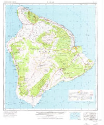
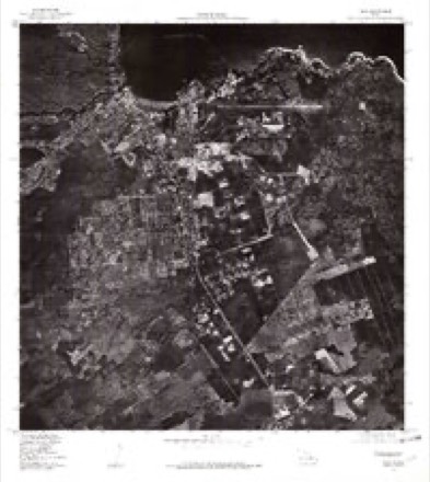
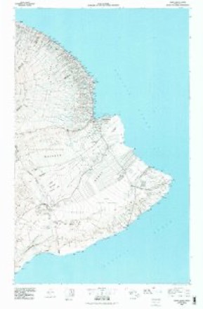
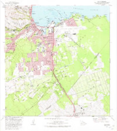
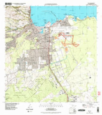
15 topographic sheets cover this place, the earliest surveyed in 1917 and the latest in 1995. It stands in the Hilo census division. It lies in ZIP code area 96720. It stands on ʻAlenaio Stream. The Survey maps it on the Hilo quadrangle. 44,186 people lived here at the 2020 count. It stands 59 feet above sea level.
Research this city
On record in Hilo
Buildings and businesses the archive holds for this place. Each opens its own page, with the source record it came from.
On the National Register 12 of 25 shown
 District Courthouse and Police Stationlisted 1979
 Thomas Guard Houselisted 2003
 S. Hata Buildinglisted 1991
 W.H. Hill Houselisted 2011
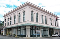 Hilo Masonic Lodge Hall-Bishop Trust Buildinglisted 1994
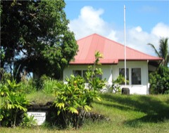 Kamehameha Halllisted 1993
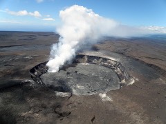 Kilauea Craterlisted 1974
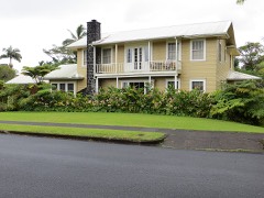 Levi and Netti Lyman Houselisted 2011
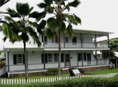 Rev. D. B. Lyman Houselisted 1978
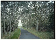 Mauna Loa Roadlisted 2015
 Edward H. and Claire Moses Houselisted 2011
 Old Volcano House No. 42listed 1974
Population over time
3 figuresHilo grew from 40,759 to 44,186 between 2000 and 2020. These are the recorded population figures Wikidata holds for this place, reached through the Geographic Names Information System number this page is keyed on rather than by name, so they belong to this place and not to another of the same name. Most are census counts, but not all are: an early figure may be a founding or settlement estimate, and an estimate published within five years of a census is left out. The change column is computed, and is left blank where more than 20 years separate a figure from the one before it, because a gap that long is not a change between two counts.
| Year | People | Change |
|---|---|---|
| 2000 | 40,759 | |
| 2010 | 43,263 | +2,504 (+6%) |
| 2020 | 44,186 | +923 (+2%) |
Topographic sheets covering this place
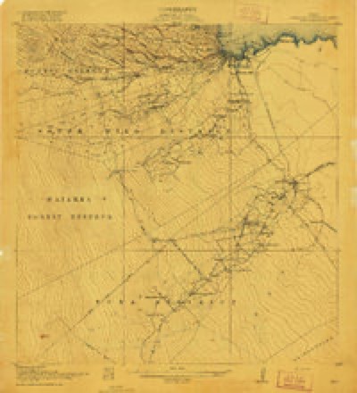
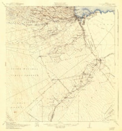
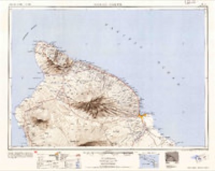
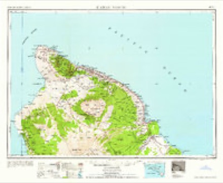
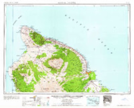
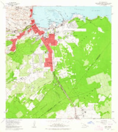
11 surveys from 15 printed sheetsMatched by testing this settlement's coordinate against the published boundary of every sheet in the United States Geological Survey's historical collection. Each opens the scanned sheet at the Survey.
- 1917 USGS Hilo quadrangle1:62500
- 1932 USGS Hilo quadrangle1:62500, 2 printings
- 1954 USGS Hawaii North quadrangle1:250000
- 1959 USGS Hawaii North quadrangle1:250000
- 1961 USGS Hawaii North quadrangle1:250000, 2 printings
- 1963 USGS Hilo quadrangle1:24000, 2 printings
- 1975 USGS Hawaii quadrangle1:250000
- 1977 USGS Hilo quadrangle1:24000
- 1980 USGS Hawaii County Sheet 2 quadrangle1:100000
- 1981 USGS Hilo quadrangle1:24000, 2 printings
- 1995 USGS Hilo quadrangle1:24000
What the histories say of this town
11,577 words1 chapter about Hilo from the published histories of the county, public domain and reproduced complete.
| Chapter | From | Length |
|---|---|---|
| Godfrey's Handbook of Hawaii: Guide to Hilo and the Volcano | Godfrey's Handbook of Hawaii: Guide to Hilo and the Volcano (1899) | 11,577 words |
Fires near this place
93 since 1999Regional context, not property-specific evidence. The federal wildfire occurrence database lists 93 fires within 5 miles of Hilo between 1999 and 2012, burning about 83 acres in total. None started naturally. None was recorded as arson. Distance is straight-line from the map coordinates, so a fire counted here may appear on a neighbouring settlement's page as well.
| Reported cause | Fires |
|---|---|
| Missing data/not specified/undetermined | 93 |
The most recent of them, most recent first, with the day each was reported and the service that recorded it.
| Date | Cause | Size | Reported by | Name on the report |
|---|---|---|---|---|
| 6 September 2007 | Missing data/not specified/undetermined | under an acre | County of Hawai'i | not named |
| 6 September 2004 | Missing data/not specified/undetermined | 2.0 acres | County of Hawai'i | not named |
| 29 September 2010 | Missing data/not specified/undetermined | under an acre | County of Hawai'i | not named |
| 15 September 2007 | Missing data/not specified/undetermined | under an acre | County of Hawai'i | not named |
| 9 August 2010 | Missing data/not specified/undetermined | under an acre | County of Hawai'i | not named |
| 9 August 2010 | Missing data/not specified/undetermined | under an acre | County of Hawai'i | not named |
| 6 August 2008 | Missing data/not specified/undetermined | under an acre | County of Hawai'i | not named |
| 26 August 2008 | Missing data/not specified/undetermined | under an acre | County of Hawai'i | not named |
Settlements close enough to share some of these fires:
Mines and quarries near this place
3 within 5 milesRegional context, not property-specific evidence. The federal mineral resources record lists 3 workings within 5 miles of Hilo: 3 producers. All of them still produce. What was taken out: Stone, Crushed/Broken. Distance is straight-line from the map coordinates, so a quarry counted here may appear on a neighbouring settlement's page as well.
| Where | Site | Commodity | Status | Recorded |
|---|---|---|---|---|
| Hilo Quarry and Mill | Stone, Crushed/Broken | Producer | ||
| Keaau Mill and Quarry | Stone, Crushed/Broken | Producer | ||
| Yamada Hilo Quarry and Mill | Stone, Crushed/Broken | Producer |
Storms near this place
60 of 68 shownRegional context, not property-specific evidence. The National Weather Service names Hilo in 68 storm reports between 1996 and 2026: 28 heavy rain, 16 flood, 14 flash flood, 3 waterspout. The reports record 1 death. Each account below is quoted exactly as the forecast office filed it, from the NOAA Storm Events Database, and each date opens the federal record of that event.
| When | Event | Place named | Harm | What the report says |
|---|---|---|---|---|
| September 2015 | Flash Flood | Hilo | 1 killed | Fire/rescue crews responded to a 5:50 p.m. alarm Monday (Sept 14) to Wailuku River Boiling Pots State Park for a missing swimmer.|A witness said he was swimming in the upper pond at Boiling Pots with a 62-year-old woman when both began to be pulled downstream by the fast-moving current. Both attempted to swim towards the river bank but the woman didnt make it out. |
| March 2026 | Flash Flood | Hilo | $2,000,000 | Heavy rain developed over the eastern and southeastern areas of the Big Island, leading to flooding impacts. Flooding was reported along Bayfront Highway and on Highway 11 south of Hilo. Flooding was also reported in Keeau Industrial Park. A residence in Pahala reportedly experienced flooding. |
| October 2001 | Flash Flood | Hilo | $30,000 | no account filed |
| October 2017 | Lightning | Hilo | $15,000 | no account filed |
| December 2013 | Thunderstorm Wind | Hilo | $5,000 | Fire officials reported a gust of wind damaged a roof on a home on Hoopuni Street in Hilo. |
| May 2024 | Flash Flood | Hilo | - | Waianuenue and Kamehameha Avenues were closed in both directions due to flooding. |
| November 2017 | Flash Flood | Hilo | - | Deep flooding occurred along Bayfront Highway in the Hilo area of the Big Island after an overflow of Alenaio Stream. |
| December 2017 | Flash Flood | Hilo | - | Portions of Kamehameha Avenue and Bayfront Highway in Hilo were closed due to flooding. Some downtown businesses also became flooded with the heavy downpours. |
| December 2013 | Flash Flood | Hilo | - | Kukila Street in Hilo was closed due to flooding. |
| December 2013 | Hail | Hilo | - | A member of the pubic reported 3/4 inch hail in Waiakea Uka. |
| December 2013 | Flash Flood | Hilo | - | Palai Stream overflowed at Kanoelehua Avenue in Hilo. |
| December 2013 | Flash Flood | Hilo | - | Flooding reported at Ainako Avenue near Kaumana Drive in Hilo. |
| March 2004 | Flash Flood | Hilo | - | Heavy showers caused overflowing streams in and around Hilo town on the Big Island of Hawaii. Highway 19--Hawaii Belt Road--was closed for a time near Wainaku because of flooding waters. However, no serious injuries or property damage were reported. |
| March 2004 | Heavy Rain | Hilo | - | Heavy showers produced ponding of roadways, and small stream and drainage ditch flooding in windward sections of the Hilo, Puna, and Kau districts on the Big Island of Hawaii. There were no reports of serious property damage or injuries. |
| July 1997 | Flood | Hilo | - | Rainfall rates of 1 to 2 inches per hour occurred across the Hamakua, Hilo, Puna, and Kau Districts with widespread minor street flooding and stream flooding north of Hilo where some streams were blocked by debris. |
| July 1997 | Flash Flood | Hilo | - | Several houses in the Hilo and Puna Districts had flooded basements or ground floors. About a dozen cars were flooded out near Pauahi Street and Kamehameha Avenue in Hilo. In Puna, North Kulani Road, Hawaiian Acres and Fern Acres subdivisions were flooded. The Hawaiian Belt Road through the Kau District was flooded out in several locations between Naalehu and Pahala. |
| March 2022 | Heavy Rain | Hilo | - | no account filed |
| March 2021 | Heavy Rain | Hilo | - | no account filed |
| December 2021 | Heavy Rain | Hilo | - | no account filed |
| August 2019 | Heavy Rain | Hilo | - | no account filed |
| October 2019 | Heavy Rain | Hilo | - | no account filed |
| February 2018 | Heavy Rain | Hilo | - | no account filed |
| October 2018 | Heavy Rain | Hilo | - | no account filed |
| August 2016 | Heavy Rain | Hilo | - | no account filed |
| August 2016 | Heavy Rain | Hilo | - | no account filed |
| August 2014 | Heavy Rain | Hilo | - | no account filed |
| March 2014 | Heavy Rain | Hilo | - | no account filed |
| November 2011 | Heavy Rain | Hilo | - | no account filed |
| November 2011 | Heavy Rain | Hilo | - | no account filed |
| December 2010 | Heavy Rain | Hilo | - | no account filed |
| March 2009 | Heavy Rain | Hilo | - | no account filed |
| December 2008 | Flash Flood | Hilo | - | no account filed |
| July 2007 | Heavy Rain | Hilo | - | no account filed |
| August 2006 | Heavy Rain | Hilo | - | no account filed |
| October 2006 | Heavy Rain | Hilo | - | no account filed |
| January 2005 | Heavy Rain | Hilo | - | no account filed |
| February 2005 | Heavy Rain | Hilo | - | no account filed |
| February 2005 | Heavy Rain | Hilo | - | no account filed |
| September 2005 | Flash Flood | Hilo | - | no account filed |
| November 2005 | Heavy Rain | Hilo | - | no account filed |
| August 2004 | Heavy Rain | Hilo | - | no account filed |
| October 2004 | Heavy Rain | Hilo | - | no account filed |
| January 2004 | Hail | Hilo | - | no account filed |
| January 2002 | Heavy Rain | Hilo | - | no account filed |
| March 2002 | Heavy Rain | Hilo | - | no account filed |
| May 2002 | Heavy Rain | Hilo | - | no account filed |
| February 2001 | Flood | Hilo | - | no account filed |
| May 2001 | Waterspout | Hilo | - | no account filed |
| November 2001 | Flood | Hilo | - | no account filed |
| October 2001 | Flood | Hilo | - | no account filed |
| November 2001 | Flood | Hilo | - | no account filed |
| April 2000 | Waterspout | Hilo | - | no account filed |
| August 2000 | Wildfire | Hilo | - | no account filed |
| January 1999 | Flash Flood | Hilo | - | no account filed |
| January 1999 | Flood | Hilo | - | no account filed |
| January 1999 | Thunderstorm Wind | Hilo | - | no account filed |
| January 1999 | Flood | Hilo | - | no account filed |
| April 1999 | Flood | Hilo | - | no account filed |
| January 1999 | Flood | Hilo | - | no account filed |
| April 1999 | Flood | Hilo | - | no account filed |
Nearest settlements
The eight closest, with where each one stands in the county. Distances are straight-line, computed from the Geographic Names Information System coordinates.
Elsewhere
Matched on this settlement's Geographic Names Information System number rather than its name, so it cannot be a different place of the same name in another state.
| Wikipedia article on Hilo | An encyclopaedic summary. Its text is share-alike, so it is linked here rather than copied. |
| Wikidata item Q216258 | The structured record the population and elevation above come from. Public domain (CC0). |
Provenance
This settlement is recorded in the Geographic Names Information System as feature 359187. The sheet list is computed by point-in-boundary test against the United States Geological Survey's historical topographic inventory. Both are works of the United States government and carry no copyright under 17 U.S.C. 105.
Wildfire. Short, Karen C. 2022. Spatial wildfire occurrence data for the United States, 1992-2020 [FPA_FOD_20221014]. 6th Edition. Fort Collins, CO: Forest Service Research Data Archive. https://doi.org/10.2737/RDS-2013-0009.6 Collected with United States Government funding and usable without additional permissions or fees.
Mines and quarries. USGS Mineral Resources Data System (MRDS) https://mrdata.usgs.gov/mrds/ A work of the United States government, no copyright under 17 U.S.C. 105.
Storms. NOAA National Centers for Environmental Information, Storm Events Database https://www.ncei.noaa.gov/stormevents/ A work of the United States government, no copyright under 17 U.S.C. 105. Narratives are quoted verbatim from the National Weather Service report and are not edited or summarised.