 Block
Blue Grass, Iowa
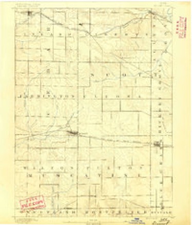
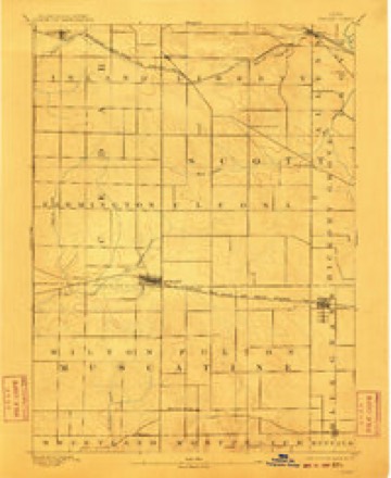
15 topographic sheets cover this place, the earliest surveyed in 1890 and the latest in 1991. It stands in Buffalo Township. It lies in ZIP code area 52726. The Survey maps it on the Walcott quadrangle.
On record in Blue Grass
Buildings and businesses the archive holds for this place. Each opens its own page, with the source record it came from.
On the National Register 1 record
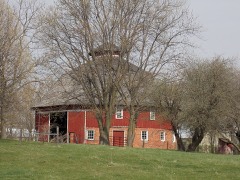 Nebergall "Knoll Crest" Round Barnlisted 1986
Topographic sheets covering this place
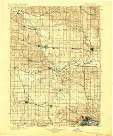
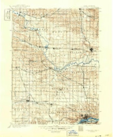
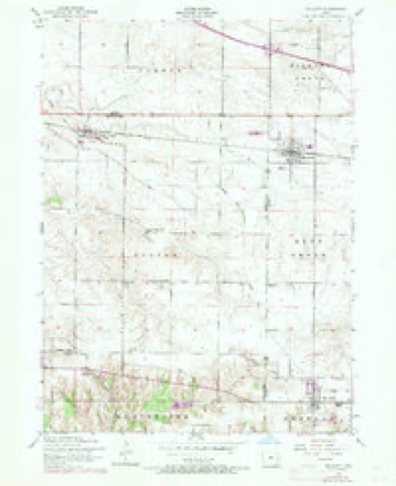
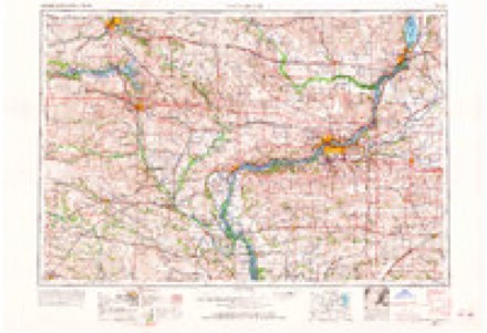
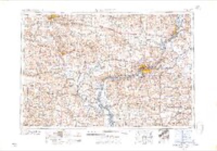
10 surveys from 15 printed sheetsMatched by testing this settlement's coordinate against the published boundary of every sheet in the United States Geological Survey's historical collection. Each opens the scanned sheet at the Survey.
- 1890 USGS Durant quadrangle1:62500
- 1894 USGS Durant quadrangle1:62500, 2 printings
- 1901 USGS Rock Island quadrangle1:125000, 2 printings
- 1910 USGS Rock Island quadrangle1:125000
- 1953 USGS Walcott quadrangle1:24000, 2 printings
- 1958 USGS Davenport quadrangle1:250000, 2 printings
- 1961 USGS Davenport quadrangle1:250000
- 1962 USGS Davenport quadrangle1:250000
- 1984 USGS Davenport quadrangle1:100000, 2 printings
- 1991 USGS Walcott quadrangle1:24000
Fires near this place
1 since 2011Regional context, not property-specific evidence. The federal wildfire occurrence database lists 1 fire within 5 miles of Blue Grass in 2011, burning about 1 acre in total. None started naturally. None was recorded as arson. Distance is straight-line from the map coordinates, so a fire counted here may appear on a neighbouring settlement's page as well.
| Reported cause | Fires |
|---|---|
| Missing data/not specified/undetermined | 1 |
The most recent of them, most recent first, with the day each was reported and the service that recorded it.
| Date | Cause | Size | Reported by | Name on the report |
|---|---|---|---|---|
| 9 October 2011 | Missing data/not specified/undetermined | 1.0 acres | Iowa Department of Natural Resources | 1687 HWY J-22, IA |
Settlements close enough to share some of these fires:
Mines and quarries near this place
3 within 5 milesRegional context, not property-specific evidence. The federal mineral resources record lists 3 workings within 5 miles of Blue Grass: 2 producers, 1 past producer. 2 still produce. What was taken out: Stone, Crushed/Broken, Salt. Distance is straight-line from the map coordinates, so a quarry counted here may appear on a neighbouring settlement's page as well.
| Where | Site | Commodity | Status | Recorded |
|---|---|---|---|---|
| Cargill Salt Terminal Sa | Salt | Producer | ||
| Davenport Quarry | Stone, Crushed/Broken | Producer | ||
| Smokey Hollow Quarry | Stone, Crushed/Broken | Past Producer |
Storms near this place
29 since 1996Regional context, not property-specific evidence. The National Weather Service names Blue Grass in 29 storm reports between 1996 and 2025: 12 hail, 10 thunderstorm wind, 4 tornado, 2 funnel cloud. The reports record 3 injuries. Each account below is quoted exactly as the forecast office filed it, from the NOAA Storm Events Database, and each date opens the federal record of that event.
| When | Event | Place named | Harm | What the report says |
|---|---|---|---|---|
| June 2001 | Tornado (F2) | Blue Grass | 3 hurt | no account filed |
| March 2017 | Tornado (EF2) | Blue Grass | $50,000 | This is a continuation of the Tornado that started in Muscatine County. Power poles were snapped, a house was un-roofed, and numerous farm outbuildings and trees were damaged. |
| June 1997 | Thunderstorm Wind | Blue Grass | $40,000 | Winds destroyed a two story building at a local race track. This building housed the announcer's booth, concession stand, and track offices. |
| July 2003 | Hail | Blue Grass | $30,000 | no account filed |
| August 2003 | Hail | Blue Grass | $10,000 | no account filed |
| June 2010 | Thunderstorm Wind | Blue Grass | $200 | Wind gusts estimated to be 60 mph caused some tree and property damage about 1 mile south of Blue Grass, IA around 425 pm June 23. A flag pole was bent. A gazebo was blown over. Several tree limbs were blown down. Pea-sized hail and a power outage was also observed. |
| July 2025 | Thunderstorm Wind | Blue Grass | - | A public report of a downed wooden light pole onto a baseball field. The time of the event was estimated using radar. |
| February 2024 | Hail | Blue Grass | - | Report relayed by media. |
| March 2022 | Tornado (EF0) | Blue Grass | - | A NWS Storm Survey found that a brief weak tornado damaged a shed and some trees. The peak estimated wind speed is 65 MPH. |
| November 2022 | Thunderstorm Wind | Blue Grass | - | An NWS Employee reported a tree down near their residence. The time of the event was estimated using radar. |
| June 2020 | Hail | Blue Grass | - | A trained spotter driving through Blue Grass reported hail that was three quarters of an inch or larger with wind gusts around 55 MPH. |
| June 2020 | Hail | Blue Grass | - | An off duty firefighter reported quarter to golf ball size hail. |
| July 2013 | Flood | Blue Grass | - | The Mississippi River at Rock Island rose to its major flood stage level at 1 am CDT July 1, remaining at that level until 1 am CDT July 2. ||The Mississippi River at Muscatine rose to its major flood stage level at 1 pm CDT July 1, remaining at that level until 7 pm CDT July 1. |
| June 2009 | Thunderstorm Wind | Blue Grass | - | Wind gusts were estimated to be 70 mph in Blue Grass, IA around 533 pm June 19. |
| June 2008 | Hail | Blue Grass | - | Penny-sized hail fell in Blue Grass, IA at 7:25 pm June 12. |
| June 2007 | Thunderstorm Wind | Blue Grass | - | Tree limbs were blown down in Blue Grass. |
| August 2002 | Tornado (F0) | Blue Grass | - | An F0 tornado touched down briefly north of Blue Grass tearing down a large tree limb. Otherwise, no injuries or damage was reported. |
| May 2001 | Funnel Cloud | Blue Grass | - | Two funnel clouds reported by trained storm spotter. |
| July 2001 | Thunderstorm Wind | Blue Grass | - | Several 6 inch limbs downed. Reported by off duty NWS employee. |
| June 1999 | Thunderstorm Wind | Blue Grass | - | Several tree limbs and power poles downed. |
| June 1999 | Thunderstorm Wind | Blue Grass | - | Power lines downed. |
| September 2017 | Hail | Blue Grass | - | no account filed |
| November 2013 | Hail | Blue Grass | - | no account filed |
| May 2011 | Hail | Blue Grass | - | no account filed |
| May 2004 | Hail | Blue Grass | - | no account filed |
| August 2002 | Funnel Cloud | Blue Grass | - | no account filed |
| May 2000 | Hail | Blue Grass | - | no account filed |
| June 1999 | Hail | Blue Grass | - | no account filed |
| October 1996 | Thunderstorm Wind | Blue Grass | - | no account filed |
Nearest settlements
The eight closest, with where each one stands in the county. Distances are straight-line, computed from the Geographic Names Information System coordinates.
| Map | Place | Distance | Sheets |
|---|---|---|---|
| Jamestown | 3.2 miles | 19 | |
| Buffalo Heights | 3.7 miles | 19 | |
| Buffalo | 4.3 miles | 19 | |
| Little Groves | 4.5 miles | 18 | |
| Walcott | 5.2 miles | 15 | |
| Linwood | 5.5 miles | 19 | |
| Walcott Eststes | 6.0 miles | 15 | |
| Walnut Grove | 6.2 miles | 19 |
Provenance
This settlement is recorded in the Geographic Names Information System as feature 454709. The sheet list is computed by point-in-boundary test against the United States Geological Survey's historical topographic inventory. Both are works of the United States government and carry no copyright under 17 U.S.C. 105.
Wildfire. Short, Karen C. 2022. Spatial wildfire occurrence data for the United States, 1992-2020 [FPA_FOD_20221014]. 6th Edition. Fort Collins, CO: Forest Service Research Data Archive. https://doi.org/10.2737/RDS-2013-0009.6 Collected with United States Government funding and usable without additional permissions or fees.
Mines and quarries. USGS Mineral Resources Data System (MRDS) https://mrdata.usgs.gov/mrds/ A work of the United States government, no copyright under 17 U.S.C. 105.
Storms. NOAA National Centers for Environmental Information, Storm Events Database https://www.ncei.noaa.gov/stormevents/ A work of the United States government, no copyright under 17 U.S.C. 105. Narratives are quoted verbatim from the National Weather Service report and are not edited or summarised.