 Block
Covington, Iowa
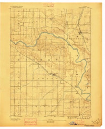
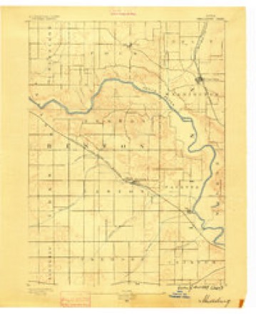
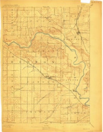
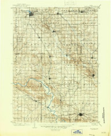
16 topographic sheets cover this place, the earliest surveyed in 1888 and the latest in 1993. It stands in Clinton Township. It lies in ZIP code area 52324. It stands on Silver Creek. The Survey maps it on the Shellsburg quadrangle.
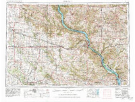
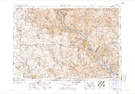
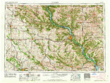
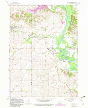
Topographic sheets covering this place
11 surveys from 16 printed sheetsMatched by testing this settlement's coordinate against the published boundary of every sheet in the United States Geological Survey's historical collection. Each opens the scanned sheet at the Survey.
- 1888 USGS Shellsburg quadrangle1:62500
- 1889 USGS Shellsburg quadrangle1:62500
- 1899 USGS Shellsburg quadrangle1:62500
- 1903 USGS Winthrop quadrangle1:125000, 2 printings
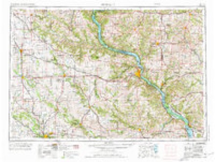
- 1959 USGS Dubuque quadrangle1:250000
- 1961 USGS Dubuque quadrangle1:250000
- 1962 USGS Dubuque quadrangle1:250000, 2 printings
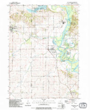
- 1968 USGS Shellsburg quadrangle1:24000, 3 printings
- 1976 USGS Dubuque quadrangle1:250000
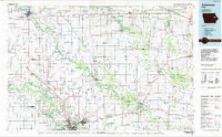
- 1984 USGS Anamosa quadrangle1:100000, 2 printings
- 1993 USGS Shellsburg quadrangle1:24000
Fires near this place
13 since 1996Regional context, not property-specific evidence. The federal wildfire occurrence database lists 13 fires within 5 miles of Covington between 1996 and 2017, burning about 50 acres in total. 1 started naturally. None was recorded as arson. Distance is straight-line from the map coordinates, so a fire counted here may appear on a neighbouring settlement's page as well.
| Reported cause | Fires |
|---|---|
| Missing data/not specified/undetermined | 8 |
| Recreation and ceremony | 3 |
| Natural | 1 |
| Equipment and vehicle use | 1 |
The most recent of them, most recent first, with the day each was reported and the service that recorded it.
| Date | Cause | Size | Reported by | Name on the report |
|---|---|---|---|---|
| 30 September 2004 | Recreation and ceremony | 3.0 acres | Iowa State Fire Marshal's Office | not named |
| 15 July 2012 | Missing data/not specified/undetermined | 1.0 acres | Iowa Department of Natural Resources | not named |
| 23 June 2012 | Natural | under an acre | Iowa Department of Natural Resources | not named |
| 4 May 2004 | Missing data/not specified/undetermined | 6.0 acres | Iowa State Fire Marshal's Office | not named |
| 3 April 2004 | Recreation and ceremony | 1.0 acres | Iowa State Fire Marshal's Office | not named |
| 27 April 1996 | Missing data/not specified/undetermined | 25 acres | Sac and Fox Agency | MONTOUR |
| 23 April 2017 | Missing data/not specified/undetermined | 1.0 acres | Iowa Department of Natural Resources | not named |
| 14 April 2007 | Missing data/not specified/undetermined | under an acre | Iowa Department of Natural Resources | not named |
Settlements close enough to share some of these fires:
Mines and quarries near this place
10 of 13 shownRegional context, not property-specific evidence. The federal mineral resources record lists 13 workings within 5 miles of Covington: 9 past producers, 4 producers. 4 still produce. What was taken out: Sand and Gravel, Construction, Stone, Crushed/Broken. Distance is straight-line from the map coordinates, so a quarry counted here may appear on a neighbouring settlement's page as well.
| Where | Site | Commodity | Status | Recorded |
|---|---|---|---|---|
| Lee Crawford Quarry & Mill | Stone, Crushed/Broken | Producer | ||
| Modsley Quarry | Stone, Crushed/Broken | Past Producer | ||
| Morgan Creek Quarry | Stone, Crushed/Broken | Producer | ||
| Owens Quarry | Stone, Crushed/Broken | Past Producer | ||
| Shaefer Quarry | Stone, Crushed/Broken | Past Producer | ||
| Unknown | Stone, Crushed/Broken | Past Producer | ||
| Aggregates Inc. Site No. 1 | Sand and Gravel, Construction | Producer | ||
| Cedar Rapids Sand Pit | Sand and Gravel, Construction | Producer | ||
| Francik Pit | Sand and Gravel, Construction | Past Producer | ||
| Freese Pit | Sand and Gravel, Construction | Past Producer |
Storms near this place
21 since 2003Regional context, not property-specific evidence. The National Weather Service names Covington in 21 storm reports between 2003 and 2026: 8 thunderstorm wind, 4 hail, 3 flash flood, 2 tornado. The reports record 1 death and 100 injuries. Each account below is quoted exactly as the forecast office filed it, from the NOAA Storm Events Database, and each date opens the federal record of that event.
| When | Event | Place named | Harm | What the report says |
|---|---|---|---|---|
| August 2020 | Thunderstorm Wind | Covington | 1 killed, 100 hurt | Widespread straight-line winds that produced extensive damage were reported throughout Linn County, associated with a derecho. These winds lasted around an hour in total at any one location, even though the initial line of storms moved out quickly. Damaging straight-line winds continued and were associated with the rear inflow jet. Maximum wind speeds were estimated to be 80 to 100 MPH for much of the county, with areas in central Linn County that had wind speed estimates that were 120 MPH or higher. The highest estimated wind speed were in the Cedar Rapids area where extensive damage to an apartment complex occurred with damage indicating winds about 140 MPH. A radio transmission tower also collapsed with wind speed estimated at 130 MPH. These estimates were determined based off damage reports and photos submitted through social media as well as a damage survey. The peak thunderstorm wind gust measured at the Cedar Rapids airport ASOS before it lost power was 68 MPH. The duration of strong winds caused extensive damaged most if not all trees, crops, and structures in their path. Due to the widespread damage, long duration power outages occurred. One fatality occurred here when a 63 year old man riding a bicycle was struck and killed by a tree that was knocked down due to the winds. There were also numerous injuries reported in the Cedar Rapids area. |
| September 2016 | Flood | Covington | $2,200,000 | Heavy rainfall of 4 to over 10 inches over significant areas from 21 to 23 September in extreme North Central and Northeast Iowa moved downstream causing the Cedar River to rise above major flood stage levels. ||Cedar Rapids rose above its major flood stage level of 16.0 feet on September 25th, 2016 at approximately 10 PM CST. It crested around 22.0 feet at approximately 8 AM CST on September 26th, 2016. It fell below major flood stage on September 30th around 6 AM CST.||Over 100 buildings and homes were impacted by the flooding. Dozens of blocks were closed of due to temporary barriers related to the flooding for a few to several days. ||Local agencies reported 27 roads were closed across the county.||Roughly 100 homes were evacuated in Palo, a community near Cedar Rapids along the Cedar River.||All the bridges except for the I-380 were closed. All schools in Cedar Rapids were closed for 3 days.||This was the second highest crest on record, surpassed only by the crest of 31.12 feet in 2008. |
| July 2003 | Tornado (F2) | Covington | $500,000 | no account filed |
| June 2011 | Lightning | Covington | $50,000 | Lightning struck a home at 505 Rockhurst Dr. SW in Cedar Rapids, IA at 230 am CDT June 10. The strike caused some damage to the homes wiring and minor fire damage. |
| September 2018 | Tornado (EF1) | Covington | $35,000 | A NWS storm survey team determined an EF-1 tornado with maximum winds around 100 mph touched down near the intersection of Skyline Drive NW and Meadowlark Lane NW in the northwest portion of Cedar Rapids, around 908 pm. The tornado moved northeast through residential neighborhoods. The tornado destroyed a garage, uprooted and snapped large trees and power poles, and caused minor damage to roofs. The tornado lifted near the intersection of 29th St. NW and Q Ave. NW around 914 pm. The storm also caused straight line wind damage at a business near the intersection of Collins Road NE and I-380. Winds estimated around 80 mph caused a partial collapse of a metal pole barn. |
| June 2012 | Thunderstorm Wind | Covington | $30,000 | Wind gusts estimated to be 80 mph snapped a warning siren pole about 2.5 miles west southwest of Covington, IA around 6 pm CDT June 29. |
| April 2026 | Hail | Covington | - | Report received from Mping. |
| August 2025 | Hail | Covington | - | A trained spotter reported 1.5 inch diameter hail. |
| April 2025 | Flash Flood | Covington | - | A public report of street flooding. |
| August 2025 | Thunderstorm Wind | Covington | - | County weather equipement. |
| August 2022 | Thunderstorm Wind | Covington | - | A trained spotter reported small branches down. |
| June 2020 | Flash Flood | Covington | - | A public report that Silver Creek was well out of its banks and flooding a backyard along the creek. |
| August 2019 | Thunderstorm Wind | Covington | - | Several trees were reported blown down across the city of Cedar Rapids due to thunderstorm winds. The time was estimated from radar. |
| August 2019 | Funnel Cloud | Covington | - | Numerous public reports of a funnel were received. Though clear evidence of a well developed funnel was reported, it appears the circulation never reached the ground. |
| May 2013 | Thunderstorm Wind | Covington | - | A trained spotter reported a large tree down in a yard on Carter street near Plainview and Cedar. |
| June 2013 | Flood | Covington | - | The Cedar River in Cedar Rapids began June above major flood stage. |
| June 2011 | Thunderstorm Wind | Covington | - | Wind gusts estimated to be 70 mph blew a large tree down across a road about 4 miles west of Cedar Rapids, IA at 734 pm CDT June 8. |
| June 2008 | Flash Flood | Covington | - | Heavy rains resulted in some flash flooding of Edgewood Blvd NW in Cedar Rapids, IA during the morning of June 5. The water was 3 to 4 inches deep in places. |
| July 2007 | Thunderstorm Wind | Covington | - | Several tree limbs 1 to 4 inches in diameter blown down. The power was also out. |
| April 2023 | Hail | Covington | - | no account filed |
| April 2020 | Hail | Covington | - | no account filed |
Nearest settlements
The eight closest, with where each one stands in the county. Distances are straight-line, computed from the Geographic Names Information System coordinates.
| Map | Place | Distance | Sheets |
|---|---|---|---|
| Linn Junction | 2.4 miles | 18 | |
| Cedar Hills | 2.6 miles | 16 | |
| Hometown-Cedar Terrace | 3.3 miles | 16 | |
| New Buffalo | 3.6 miles | 18 | |
| Grand View Village | 3.9 miles | 16 | |
| Palo | 4.4 miles | 16 | |
| Hiawatha | 4.7 miles | 18 | |
| Hiawatha Oak Brook Court | 5.2 miles | 18 |
Provenance
This settlement is recorded in the Geographic Names Information System as feature 455681. The sheet list is computed by point-in-boundary test against the United States Geological Survey's historical topographic inventory. Both are works of the United States government and carry no copyright under 17 U.S.C. 105.
Wildfire. Short, Karen C. 2022. Spatial wildfire occurrence data for the United States, 1992-2020 [FPA_FOD_20221014]. 6th Edition. Fort Collins, CO: Forest Service Research Data Archive. https://doi.org/10.2737/RDS-2013-0009.6 Collected with United States Government funding and usable without additional permissions or fees.
Mines and quarries. USGS Mineral Resources Data System (MRDS) https://mrdata.usgs.gov/mrds/ A work of the United States government, no copyright under 17 U.S.C. 105.
Storms. NOAA National Centers for Environmental Information, Storm Events Database https://www.ncei.noaa.gov/stormevents/ A work of the United States government, no copyright under 17 U.S.C. 105. Narratives are quoted verbatim from the National Weather Service report and are not edited or summarised.