 Block
Shoup, Idaho
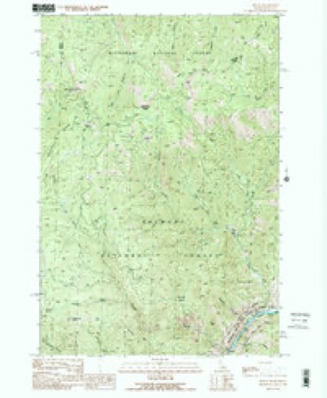
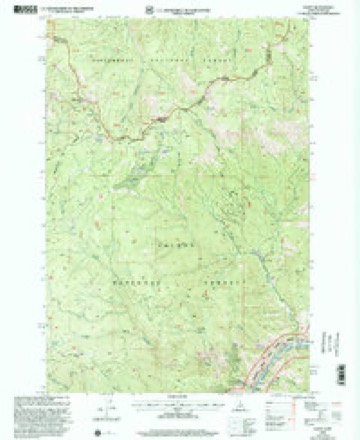
10 topographic sheets cover this place, the earliest surveyed in 1956 and the latest in 1998. It stands in the Forney census division. It lies in ZIP code area 83466. It stands on Boulder Creek. The Survey maps it on the Shoup quadrangle. It stands 3,389 feet above sea level.
Topographic sheets covering this place
6 surveys from 10 printed sheetsMatched by testing this settlement's coordinate against the published boundary of every sheet in the United States Geological Survey's historical collection. Each opens the scanned sheet at the Survey.
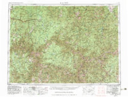
- 1956 USGS Elk City quadrangle1:250000, 3 printings
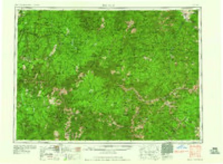
- 1960 USGS Elk City quadrangle1:250000, 2 printings
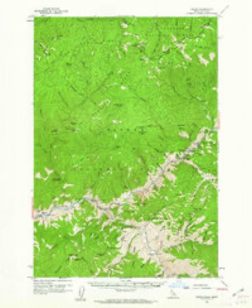
- 1960 USGS Shoup quadrangle1:62500, 2 printings
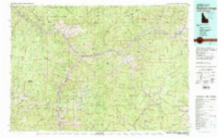
- 1982 USGS Bighorn Crags quadrangle1:100000
- 1991 USGS Shoup quadrangle1:24000
- 1998 USGS Shoup quadrangle1:24000
Fires near this place
95 since 1992Regional context, not property-specific evidence. The federal wildfire occurrence database lists 95 fires within 5 miles of Shoup between 1992 and 2020, burning about 15,544 acres in total. 89 started naturally. None was recorded as arson. Distance is straight-line from the map coordinates, so a fire counted here may appear on a neighbouring settlement's page as well.
| Reported cause | Fires |
|---|---|
| Natural | 89 |
| Recreation and ceremony | 3 |
| Equipment and vehicle use | 2 |
| Debris and open burning | 1 |
The most recent of them, most recent first, with the day each was reported and the service that recorded it.
| Date | Cause | Size | Reported by | Name on the report |
|---|---|---|---|---|
| 5 September 1995 | Natural | under an acre | Salmon-Challis National Forest | SAW LOG |
| 2 September 2009 | Natural | under an acre | Salmon-Challis National Forest | LEAD |
| 13 September 1996 | Natural | under an acre | Salmon-Challis National Forest | GERMAN |
| 12 September 1992 | Natural | under an acre | Salmon-Challis National Forest | not named |
| 11 September 2009 | Equipment and vehicle use | under an acre | Salmon-Challis National Forest | SPRING CAMPGROUND |
| 10 September 2007 | Equipment and vehicle use | 1.0 acres | Salmon-Challis National Forest | RIVER RANCH |
| 8 August 2006 | Natural | 2.5 acres | Salmon-Challis National Forest | HOT SPRINGS |
| 7 August 2011 | Natural | under an acre | Salmon-Challis National Forest | SHEEPEATER |
Settlements close enough to share some of these fires:
Mines and quarries near this place
10 of 54 shownRegional context, not property-specific evidence. The federal mineral resources record lists 54 workings within 5 miles of Shoup: 27 occurrences, 20 past producers, 4 prospects, 3 unknowns. None of them still produces. What was taken out: Gold, Lead, REE, Silver. Distance is straight-line from the map coordinates, so a quarry counted here may appear on a neighbouring settlement's page as well.
| Where | Site | Commodity | Status | Recorded |
|---|---|---|---|---|
| Big Lead Mine | Gold, Silver, Lead | Past Producer | ||
| Blue Jay Claims | Copper, Silver, Gold, Lead | Past Producer | ||
| Cardinal Prospect | Phosphorus-Phosphates, Thorium, REE | Occurrence | Allanite, Monazite | |
| Coan Property | Lead, Gold | Occurrence | Galena | |
| Copper King Mine | Gold, Silver, Copper | Past Producer | ||
| Crazy Creek Prospect | Rhenium, REE, Thorium | Occurrence | Replacement | |
| Eagle Group | Molybdenum | Prospect | ||
| Grubstake No. 2 Claim | Zinc, Gold | Occurrence | Vein | |
| Grunter Mine | Gold, Zinc, Lead, Tungsten, Silver | Past Producer | 1882 | |
| H. R. Roberts' Claims | REE, Thorium, Phosphorus-Phosphates, Copper, Titanium | Past Producer | 1948 |
Storms near this place
25 since 1998Regional context, not property-specific evidence. The National Weather Service names Shoup in 25 storm reports between 1998 and 2024: 7 thunderstorm wind, 7 flash flood, 4 hail, 3 heavy rain. The reports record 2 deaths. Each account below is quoted exactly as the forecast office filed it, from the NOAA Storm Events Database, and each date opens the federal record of that event.
| When | Event | Place named | Harm | What the report says |
|---|---|---|---|---|
| July 2003 | Wildfire | Shoup | 2 killed | no account filed |
| June 2024 | Flash Flood | Shoup | $250,000 | Flash flooding and mudslides occurred along Salmon River Road from just above Ebenezer Campground to just below Owl Creek. Radar estimates of up to 1.25 inches of rain fell over a half hour period across the southern half of the Owl Creek Basin. There were three major slides along the Salmon River Road, near Poverty Flat, Skull Gulch, and one roughly 0.3 miles in length where the road bank collapsed into the river. The Skull Gulch slide destroyed at least one outbuilding. There were also 30 to 50 additional small slides across the Salmon River Road that didn't cause structural damage. |
| June 2013 | Flash Flood | Shoup | $5,000 | A thunderstorm cell developed over extreme southeastern Idaho county (over 9 kft terrain) and split into two separate supercells as it moved into Lemhi County. The left-moving supercell tracked across the old Mustang burn scarred Colson Creek drainage basin (Mustang Fire from 2012). According to Doppler radar estimates, this storm unleashed 0.42 of rainfall in 30 minutes across this drainage basin. At one point the cloud tops reached over 50 kft which meant that the storm had tapped into all the potential instability. These torrential rains produced a debris flow that damaged and made Colson Creek road impassable. The debris flow traveled over several homeowners' properties and damaged a hydro-electric pump causing power outages. |
| June 2013 | Flash Flood | Shoup | $5,000 | A high precipitation, left-moving supercell caused very heavy rainfall to fall over the Mustang burn scarred Owl Creek drainage basin inducing a large debris flow. Doppler radar estimates of 0.58 fell 30 minutes ending at 7:28 pm MDT over this basin. The debris flow severely damaged landowners' property including water and fuel barrels, irrigation system and several out-buildings. The debris flow also deposited up to 3 feet of rock and mud plus trees over Salmon River Rd. A few hours later a spotter in North Fork measured 0.50 of rain in 20 minutes. |
| September 2013 | Flash Flood | Shoup | $1,000 | A washout near Cramer Creek closed Salmon River Road/NF - 30 for a time. Nearby weather stations in Lemhi county reported anywhere from 0.39 up to 0.58 in less than 30 minutes with these storms. |
| August 2013 | Flash Flood | Shoup | $1,000 | A flash flood occurred in the lower Colson Creek area in northwestern Lemhi County over part of the old 2012 Mustang fire burn scar. Colson Creek Rd. and Road 30 needed to be graded afterwards to permit safe vehicle passage. Up to one foot of debris deposited on roads in several places. Also the increased flow, up to 2 feet in Colson Creek, broke up a temporary earthen dam that emptied a pond. |
| August 2014 | Flash Flood | Shoup | $500 | About 20 ponderosa pine trees fell down onto the main Salmon River Road while one pine tree smashed the USGS river gauge on the Salmon River. Evidence revealed that debris flows occurred at Boulder Creek, Owl Creek, Colson Creek and at an unnamed gulch. The unnamed gulch produced a large debris flow with rock onto the main Salmon River Road. A man-made dam located near the delta of Colson Creek was damaged. |
| September 2024 | Thunderstorm Wind | Shoup | - | Strong cold front triggered thunderstorms and caused the temperature to drop from 59 degrees to 46 in an hour. Wind gust occurred with thunderstorm outflow. No storm damage noted. |
| June 2023 | Debris Flow | Shoup | - | The Salmon-Challis National Forest reported that a landslide had fully blocked the Salmon River Road, one mile southwest of Pine Creek. |
| August 2023 | Thunderstorm Wind | Shoup | - | The forest service reported that over 200 trees were blown down across a 22 mile stretch of road from Spring Creek to Long Tom Lookout. |
| August 2021 | Debris Flow | Shoup | - | Salmon-Challis National Forest officials reported a 30 feet wide by three feet deep sand and dirt debris flow across Salmon River Road, 1.5 miles west of Panther Creek. Another debris flow was reported from the Dutch Oven Creek drainage and was three feet wide, by four feet deep, including two to three boulders. The Salmon River Road was impassable from Panther Creek to Dutch Oven Creek through the morning hours of August 2nd. The Skull Gulch RAWS, located a few miles northwest of Panther Creek, reported 0.24 inches of rain from 1500 to 1600. |
| July 2013 | Flash Flood | Shoup | - | A forest service employee reported flash flooding that pushed debris across Salmon River Rd. east of Spring Creek closing one lane. Doppler radar estimated 0.78 of rainfall 30 minutes ending at 4:30 pm MDT across the Spring Creek basin. |
| July 2012 | Thunderstorm Wind | Shoup | - | The Skull Gulch RAWS at 5878 feet measured a thunderstorm wind gust of 59 mph. |
| July 2011 | Heavy Rain | Shoup | - | A police officer estimated 1.50 inches of rain in 30 minutes. |
| August 2011 | Hail | Shoup | - | A trained spotter measured hail 1.00 in diameter. |
| July 2007 | Hail | Shoup | - | USFS lookout on Long Tom Mountain reported quarter sized hail. |
| July 2007 | Hail | Shoup | - | USFS lookout on Long Tom Mountain reported penny sized hail. |
| June 2004 | Heavy Rain | Shoup | - | no account filed |
| July 2004 | Heavy Rain | Shoup | - | no account filed |
| May 2003 | Thunderstorm Wind | Shoup | - | no account filed |
| July 2001 | Hail | Shoup | - | no account filed |
| August 2001 | Thunderstorm Wind | Shoup | - | no account filed |
| August 2001 | Thunderstorm Wind | Shoup | - | no account filed |
| July 2000 | Wildfire | Shoup | - | no account filed |
| June 1998 | Thunderstorm Wind | Shoup | - | no account filed |
Nearest settlements
The eight closest, with where each one stands in the county. Distances are straight-line, computed from the Geographic Names Information System coordinates.
| Map | Place | Distance | Sheets |
|---|---|---|---|
| Ulysses (historical) | 8.7 miles | 10 | |
| Leesburg | 13.6 miles | 10 | |
| North Fork | 15.1 miles | 9 | |
| Blackbird | 18.4 miles | 10 | |
| Cobalt | 19.7 miles | 10 | |
| Carmen | 22.3 miles | 13 | |
| Gibbonsville | 22.4 miles | 13 | |
| Salmon | 24.5 miles | 13 |
Elsewhere
Matched on this settlement's Geographic Names Information System number rather than its name, so it cannot be a different place of the same name in another state.
| Wikipedia article on Shoup | An encyclopaedic summary. Its text is share-alike, so it is linked here rather than copied. |
| Wikidata item Q7502750 | The structured record the population and elevation above come from. Public domain (CC0). |
Provenance
This settlement is recorded in the Geographic Names Information System as feature 398126. The sheet list is computed by point-in-boundary test against the United States Geological Survey's historical topographic inventory. Both are works of the United States government and carry no copyright under 17 U.S.C. 105.
Wildfire. Short, Karen C. 2022. Spatial wildfire occurrence data for the United States, 1992-2020 [FPA_FOD_20221014]. 6th Edition. Fort Collins, CO: Forest Service Research Data Archive. https://doi.org/10.2737/RDS-2013-0009.6 Collected with United States Government funding and usable without additional permissions or fees.
Mines and quarries. USGS Mineral Resources Data System (MRDS) https://mrdata.usgs.gov/mrds/ A work of the United States government, no copyright under 17 U.S.C. 105.
Storms. NOAA National Centers for Environmental Information, Storm Events Database https://www.ncei.noaa.gov/stormevents/ A work of the United States government, no copyright under 17 U.S.C. 105. Narratives are quoted verbatim from the National Weather Service report and are not edited or summarised.