 Block
Bloomingdale, Illinois
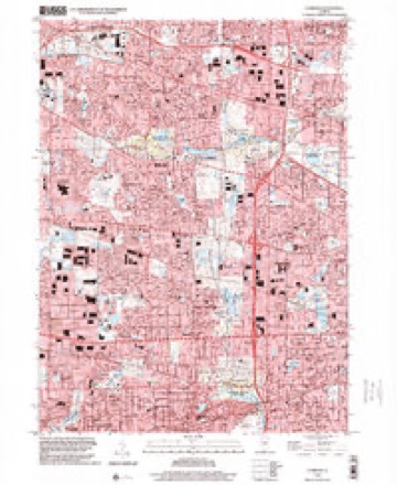
19 topographic sheets cover this place, the earliest surveyed in 1908 and the latest in 1998. It stands in Bloomingdale Township. It lies in ZIP code area 60108. The Survey maps it on the Lombard quadrangle. 22,382 people lived here at the 2020 count. It stands 764 feet above sea level.
On record in Bloomingdale
Buildings and businesses the archive holds for this place. Each opens its own page, with the source record it came from.
On the National Register 2 records
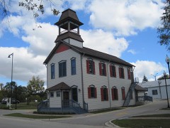 Bloomingdale School-Village Halllisted 1994
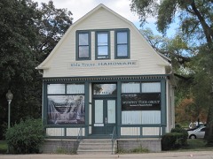 Randecker's Hardware Storelisted 1994
Population over time
2 figuresBloomingdale grew from 22,018 to 22,382 between 2010 and 2020. These are the recorded population figures Wikidata holds for this place, reached through the Geographic Names Information System number this page is keyed on rather than by name, so they belong to this place and not to another of the same name. Most are census counts, but not all are: an early figure may be a founding or settlement estimate, and an estimate published within five years of a census is left out. The change column is computed, and is left blank where more than 20 years separate a figure from the one before it, because a gap that long is not a change between two counts.
| Year | People | Change |
|---|---|---|
| 2010 | 22,018 | |
| 2020 | 22,382 | +364 (+2%) |
Topographic sheets covering this place
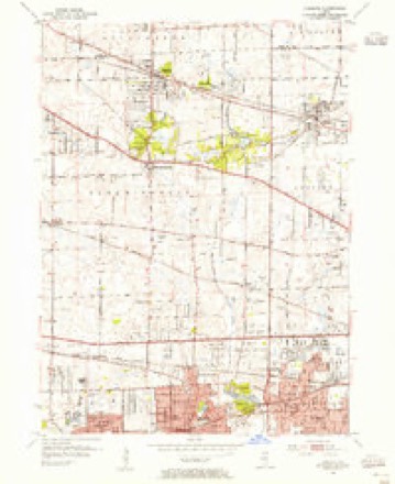
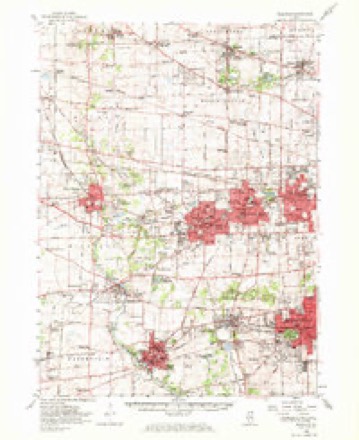
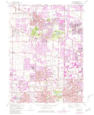
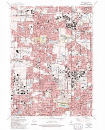
10 surveys from 19 printed sheetsMatched by testing this settlement's coordinate against the published boundary of every sheet in the United States Geological Survey's historical collection. Each opens the scanned sheet at the Survey.
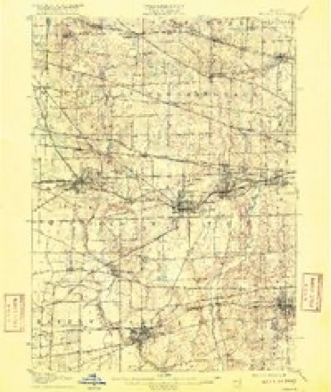
- 1908 USGS Wheaton quadrangle1:62500, 5 printings
- 1948 USGS Wheaton quadrangle1:62500
- 1953 USGS Lombard quadrangle1:24000
- 1954 USGS Wheaton quadrangle1:62500, 2 printings
- 1958 USGS Aurora quadrangle1:250000, 3 printings
- 1961 USGS Aurora quadrangle1:250000
- 1962 USGS Lombard quadrangle1:24000, 3 printings
- 1985 USGS Aurora quadrangle1:100000
- 1993 USGS Lombard quadrangle1:24000
- 1998 USGS Lombard quadrangle1:24000



In the county-history sources
2,683 words on this townshipHistory Of Dupage County (1857), published 1857 names this settlement in its chapter on Bloomingdale Township. These are the passages that mention it, exactly as the scans read.
The first election in this precinct was held at Elk grove, eight miles north east of Bloomingdale. Lyman Meacham was elected justice of the peace. The first path master went as far south as Warrenville, ten miles distant, to warn out the settlers on the highway to perform their road labor. The claim difficulty to which allusion has been made, occurred in this town. It is thought that no correct history of the horrid transaction has ever appeared. Thestatement of this affair, given in the life of George W. Green, the banker, who committed suicide in the Chicago jail, is very erroneous. The compilers have been at considerable pains to obtain a brief, and as they believe, an impartial account of the transaction, which is commonly known as
Passage source: History Of Dupage County (1857), published 1857.
Bloomingdale is not excelled by any of its sister towns in healthfulness of climate, fertility of soil, beauty of scenery, variety of products, nor in attention to agriculture. Meacham's grove is in this town, and embraces about 1,200 acres of fine timber. The trail made by Gen. Scott's army, in passing from Fort Dearborn to the Mississippi, is about a mile and a half south of the grove. The trail was visible when the first settlers came, and has always been known as the army trail road. The source of the east branch of the Du Page river is from low land about half a mile south of the grove. The west branch rises in a slough, a few rods in width, situated near the north east corner of the town of Wayne. The town is well watered by springs and small streams, it having but one stream of any size. A branch of Salt creek runs in an easterly direction through the town, uniting with the main branch at Duncklee's grove, in the town of Addison. This stream furnishes water power at some seasons, and a saw mill has been erected upon it.
Passage source: History Of Dupage County (1857), published 1857.
The village of Bloomingdale contains about thirty dwelling houses, one hotel, 5 factories, 2 stores, and three churches. The Baptist society was organized in. March, 1841, through the instrumentality of Rey. Joel Wheeler and Rev. A. W. Button. There were at first seventeen members, among whom were Noah Stevens, Ephraim Kettle, Asa Dudley, F. R. Stevens, Orange Kent, J: D. Kinne, Philo Nobles, Silas Farr, and William Farr.
Passage source: History Of Dupage County (1857), published 1857.
Machine-read from a century-old scan, so expect the errors a machine makes: misspelled names, dropped words, stray characters.
Read the whole chapter on Bloomingdale Township - it names this place 1 more 1 time.
Fires near this place
1 since 2014Regional context, not property-specific evidence. The federal wildfire occurrence database lists 1 fire within 5 miles of Bloomingdale in 2014, burning under an acre in total. None started naturally. None was recorded as arson. Distance is straight-line from the map coordinates, so a fire counted here may appear on a neighbouring settlement's page as well.
| Reported cause | Fires |
|---|---|
| Missing data/not specified/undetermined | 1 |
The most recent of them, most recent first, with the day each was reported and the service that recorded it.
| Date | Cause | Size | Reported by | Name on the report |
|---|---|---|---|---|
| 10 April 2014 | Missing data/not specified/undetermined | under an acre | Illinois Division of Forestry Resources | 2014-357 |
Settlements close enough to share some of these fires:
Mines and quarries near this place
3 within 5 milesRegional context, not property-specific evidence. The federal mineral resources record lists 3 workings within 5 miles of Bloomingdale: 2 past producers, 1 producer. 1 still produces. What was taken out: Sand and Gravel, Construction. Distance is straight-line from the map coordinates, so a quarry counted here may appear on a neighbouring settlement's page as well.
| Where | Site | Commodity | Status | Recorded |
|---|---|---|---|---|
| Ajax Pit | Sand and Gravel, Construction | Past Producer | ||
| Curtis S&G Pit | Sand and Gravel, Construction | Past Producer | ||
| Mallard Lake Pit | Sand and Gravel, Construction | Producer |
Storms near this place
15 since 1996Regional context, not property-specific evidence. The National Weather Service names Bloomingdale in 15 storm reports between 1996 and 2025: 8 thunderstorm wind, 6 hail, 1 tornado. The reports record 1 death and 1 injury. Each account below is quoted exactly as the forecast office filed it, from the NOAA Storm Events Database, and each date opens the federal record of that event.
| When | Event | Place named | Harm | What the report says |
|---|---|---|---|---|
| August 2007 | Thunderstorm Wind | Bloomingdale | 1 killed | A man was struck by a falling tree limb on a golf course and died from his injuries. |
| August 2008 | Thunderstorm Wind | Bloomingdale | 1 hurt, $25,000 | At least ten trees were blown down, some onto homes. One home lost part of its roof and one person was injured. |
| August 2008 | Tornado (EF1) | Bloomingdale | $250,000 | A second, brief tornado touched down in Bloomingdale, near an apartment complex on Century Point Lane. There was roof and window damage at two apartment buildings. Significant damage was done to roofs of houses and to trees from Cardinal Drive east across Bloomingdale Road through Norton Lane and into the area around Sterling Drive. |
| July 2025 | Thunderstorm Wind | Bloomingdale | - | A photo showed a tree limb 7 to 8 inches in diameter snapped from a trunk. |
| July 2022 | Thunderstorm Wind | Bloomingdale | - | A tree was blown down onto a house. |
| August 2021 | Thunderstorm Wind | Bloomingdale | - | Large tree limbs were blown down. |
| July 2017 | Thunderstorm Wind | Bloomingdale | - | A large tree was blown down. |
| August 2015 | Hail | Bloomingdale | - | no account filed |
| June 2009 | Hail | Bloomingdale | - | no account filed |
| July 2003 | Hail | Bloomingdale | - | no account filed |
| August 2003 | Hail | Bloomingdale | - | no account filed |
| August 2003 | Thunderstorm Wind | Bloomingdale | - | no account filed |
| May 2000 | Hail | Bloomingdale | - | no account filed |
| August 1997 | Thunderstorm Wind | Bloomingdale | - | no account filed |
| April 1996 | Hail | Bloomingdale | - | no account filed |
Nearest settlements
The eight closest, with where each one stands in the county. Distances are straight-line, computed from the Geographic Names Information System coordinates.
| Map | Place | Distance | Sheets |
|---|---|---|---|
| Roselle | 1.9 miles | 19 | |
| Keeneyville | 2.2 miles | 19 | |
| Medinah | 2.3 miles | 19 | |
| Cloverdale | 2.4 miles | 19 | |
| Swift | 3.3 miles | 19 | |
| Glendale Heights | 3.3 miles | 19 | |
| Shorewood | 4.0 miles | 19 | |
| Itasca | 4.1 miles | 19 |
Elsewhere
Matched on this settlement's Geographic Names Information System number rather than its name, so it cannot be a different place of the same name in another state.
| Wikipedia article on Bloomingdale | An encyclopaedic summary. Its text is share-alike, so it is linked here rather than copied. |
| Wikidata item Q212086 | The structured record the population and elevation above come from. Public domain (CC0). |
Provenance
This settlement is recorded in the Geographic Names Information System as feature 421712. The sheet list is computed by point-in-boundary test against the United States Geological Survey's historical topographic inventory. Both are works of the United States government and carry no copyright under 17 U.S.C. 105.
Wildfire. Short, Karen C. 2022. Spatial wildfire occurrence data for the United States, 1992-2020 [FPA_FOD_20221014]. 6th Edition. Fort Collins, CO: Forest Service Research Data Archive. https://doi.org/10.2737/RDS-2013-0009.6 Collected with United States Government funding and usable without additional permissions or fees.
Mines and quarries. USGS Mineral Resources Data System (MRDS) https://mrdata.usgs.gov/mrds/ A work of the United States government, no copyright under 17 U.S.C. 105.
Storms. NOAA National Centers for Environmental Information, Storm Events Database https://www.ncei.noaa.gov/stormevents/ A work of the United States government, no copyright under 17 U.S.C. 105. Narratives are quoted verbatim from the National Weather Service report and are not edited or summarised.