 Block
Bluford, Illinois
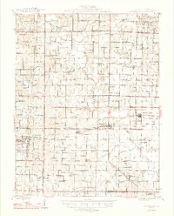
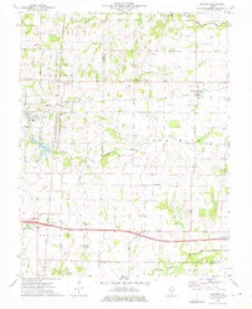
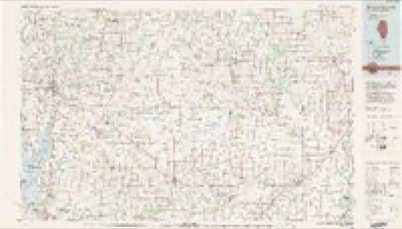
10 topographic sheets cover this place, the earliest surveyed in 1947 and the latest in 1982. It stands in Webber Township. It lies in ZIP code area 62814. The Survey maps it on the Bluford quadrangle.
Topographic sheets covering this place
5 surveys from 10 printed sheetsMatched by testing this settlement's coordinate against the published boundary of every sheet in the United States Geological Survey's historical collection. Each opens the scanned sheet at the Survey.
- 1947 USGS Wayne City quadrangle1:62500, 3 printings
- 1958 USGS Belleville quadrangle1:250000, 3 printings
- 1962 USGS Belleville quadrangle1:250000
- 1973 USGS Bluford quadrangle1:24000, 2 printings
- 1982 USGS Mount Vernon quadrangle1:100000


In the county-history sources
4,763 words on this townshipHistory of Jefferson County, Illinois, published 1883 names this settlement in its chapter on Webber Township. These are the passages that mention it, exactly as the scans read.
Warner N. and Lora E. In JaTuiary, 1862, he enlisted in Company H, Fii-st Illinois Cavalry, under command of Capt. Noleman, of Centralia. In July of the same year, he was mustered out. In August, 1862, be again enlisted in Company B, One Hundred and Tenth Illinois Volunteer Infantry, and served in that till in the spring of 1863, when he was mustered out. While in the service, he received a wound in the ankle while making a charge, from the effects of which he still suffer.s. After returning from the service, he anjain engaged at his trade, but in 1876 began farming, at which occupation he is now engaged. In politics, he is a Republican.
Passage source: History of Jefferson County, Illinois, published 1883.
Machine-read from a century-old scan, so expect the errors a machine makes: misspelled names, dropped words, stray characters.
Read the whole chapter on Webber Township - it names this place 2 more 2 times.
Storms near this place
12 since 2002Regional context, not property-specific evidence. The National Weather Service names Bluford in 12 storm reports between 2002 and 2023: 4 thunderstorm wind, 3 tornado, 3 hail, 2 flash flood. No death or injury is recorded in these reports. Each account below is quoted exactly as the forecast office filed it, from the NOAA Storm Events Database, and each date opens the federal record of that event.
| When | Event | Place named | Harm | What the report says |
|---|---|---|---|---|
| April 2003 | Thunderstorm Wind | Bluford | $100,000 | Two businesses in Mount Vernon were unroofed. The roof of an auto parts store was blown into the parking lot, landing on top of a vehicle. Rain damaged the inventory of the store. A florist shop was partially unroofed. A dry goods store sustained some damage when a sign on top of the store blew down. Numerous trees were blown down in Mount Vernon, near Bluford, and around Dix. |
| April 2011 | Tornado (EF1) | Bluford | $90,000 | Many trees were snapped or uprooted. A hay barn was partially pushed over. An old wooden barn was destroyed. A newer wood-frame equipment shed was nearly destroyed. A house roof was heavily damaged, with loosening of roof decking. In the immediate vicinity of the tornado, straight-line winds from the same storm caused a large tree to fall on the roof of a house. Peak winds were near 110 mph. The average path width was 80 yards. |
| October 2014 | Tornado (EF1) | Bluford | $50,000 | This brief tornado touchdown occurred along County Road 2100 north of Bluford. Power lines were blown down. A barn was damaged, with metal roofing peeled toward the north. The tornado damaged the roof of a house and destroyed a barn. Metal chairs were pushed up along a railing near the house. Trees were snapped and uprooted. Peak winds were estimated up to 105 mph. |
| January 2005 | Thunderstorm Wind | Bluford | $10,000 | Trees, power lines, and power poles were blown down. |
| February 2023 | Thunderstorm Wind | Bluford | $3,000 | Shingle damage was reported to a home from the passing line of showers. |
| July 2023 | Thunderstorm Wind | Bluford | $2,000 | A tree fell down on a power line. |
| April 2002 | Tornado (F1) | Bluford | $2,000 | The tornado formed about one-half mile north of Illinois Route 15, just west of the Wayne/Jefferson County line, and moved quickly into Wayne County. |
| June 2019 | Flash Flood | Bluford | - | Numerous roads were flooded around Bluford, including Highway 15. Several wrecks were reported on Interstates 57 and 64 due to water ponding issues. |
| August 2019 | Flash Flood | Bluford | - | Water was reported over County Road 1900E in northeast Jefferson County. Rainfall was estimated by radar close to 1.75 inches in 30 minutes in that area. |
| June 2008 | Hail | Bluford | - | The third of three hailstorms in this local area produced hailstones up to quarter size. All three events occurred within an hour. Multiple reports of this hail were obtained by the Severe Hazards Analysis and Verification Experiment (SHAVE). |
| April 2011 | Hail | Bluford | - | no account filed |
| July 2004 | Hail | Bluford | - | no account filed |
Nearest settlements
The eight closest, with where each one stands in the county. Distances are straight-line, computed from the Geographic Names Information System coordinates.
| Map | Place | Distance | Sheets |
|---|---|---|---|
| Markham City | 0.2 miles | 10 | |
| Marlow | 3.6 miles | 12 | |
| Lynchburg (historical) | 4.4 miles | 12 | |
| Pigeon (historical) | 4.7 miles | 11 | |
| Camp Ground | 5.8 miles | 12 | |
| Opdyke | 6.0 miles | 12 | |
| Harmony | 6.4 miles | 11 | |
| Shirley | 6.7 miles | 12 |
Provenance
This settlement is recorded in the Geographic Names Information System as feature 404631. The sheet list is computed by point-in-boundary test against the United States Geological Survey's historical topographic inventory. Both are works of the United States government and carry no copyright under 17 U.S.C. 105.
Storms. NOAA National Centers for Environmental Information, Storm Events Database https://www.ncei.noaa.gov/stormevents/ A work of the United States government, no copyright under 17 U.S.C. 105. Narratives are quoted verbatim from the National Weather Service report and are not edited or summarised.