 Block
Boynton, Illinois
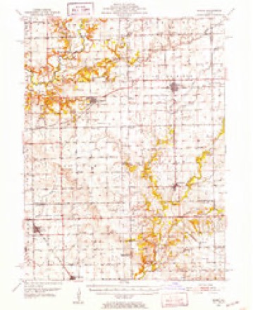
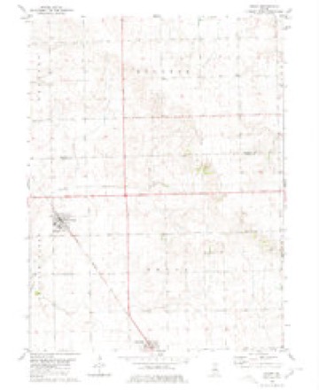
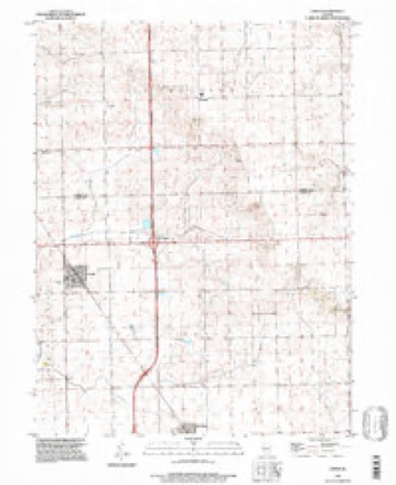
14 topographic sheets cover this place, the earliest surveyed in 1951 and the latest in 1996. It stands in Boynton Township. It lies in ZIP code area 61734. The Survey maps it on the Emden quadrangle.
Topographic sheets covering this place
9 surveys from 14 printed sheetsMatched by testing this settlement's coordinate against the published boundary of every sheet in the United States Geological Survey's historical collection. Each opens the scanned sheet at the Survey.
- 1951 USGS Minier quadrangle1:62500, 3 printings
- 1958 USGS Peoria quadrangle1:250000, 4 printings
- 1961 USGS Peoria quadrangle1:250000
- 1963 USGS Peoria quadrangle1:250000
- 1980 USGS Emden quadrangle1:24000
- 1985 USGS Lincoln quadrangle1:100000
- 1989 USGS Lincoln quadrangle1:100000
- 1990 USGS Peoria quadrangle1:250000
- 1996 USGS Emden quadrangle1:24000




In the county-history sources
8,052 words on this townshipHistory of Tazewell County, Illinois ; Together with Sketches of Its Cities, Villages and Townships, Educational, Religious, Civil, Military, and Political History; Portraits of Prominent Persons and Biographies of Representative Citizens. History of Illinois ... Digest of State Laws, published 1879 names this settlement in its chapter on Boynton Township. These are the passages that mention it, exactly as the scans read.
There is a post-office kept in the center of the township. Mail is received three times a week. The character of the schools and school-houses are good, and every improvement in the township adds its testimony to the enterprise, thrift and culture of the people. Among the representative farmers of Boynton, those who make its history and mold its destiny, we call attention to the following gentlemen :
Passage source: History of Tazewell County, Illinois ; Together with Sketches of Its Cities, Villages and Townships, Educational, Religious, Civil, Military, and Political History; Portraits of Prominent Persons and Biographies of Representative Citizens. History of Illinois ... Digest of State Laws, published 1879.
E. Atkinson, farmer and stock raiser, Sec. 14 ; P. O., Boynton. The subject of this sketch was born in Ohio in 1844. During the same year his parents moved to Tazewell county, where Mr. A. has since resided, and where he was united in marriage to Miss Sarah Farmer, a daughter of John H. Farmer of Logan Co., Kentucky. Two children blessed this union - Emma A. and Martha Jane. Mr. Atkinson has witnessed many changes in the beautiful county of Tazewell, wrought by the swift hand of Time. In this Township he has acquired a farm property of 80 acres and few are of a more hospitable disposition than he.
Passage source: History of Tazewell County, Illinois ; Together with Sketches of Its Cities, Villages and Townships, Educational, Religious, Civil, Military, and Political History; Portraits of Prominent Persons and Biographies of Representative Citizens. History of Illinois ... Digest of State Laws, published 1879.
George Bcnhler was born in Baden, Ger., near the banks of the historic river Rhine, on the 16th of Feb., 1832; turned to farm life from his earliest days. He acquired a good common school education, and at the age of 25 crossed the ocean ; after a short delay in New York made his way to Chicago, and thence to McLean Co. 111., and finally to Tazewell Co., where he first procured employment as a farm hand. He worked early and late to procure enough to get a start in life. In 1865 he was married to Miss Delilah Burton, daughter of Wm. Burton, of this township. In 1867 Mr. B. succeeded in purchasing an 80-acre tract of land on sec. 9, which he has improved greatly by tiling. Of his marriage with Miss Burton five children were born, four of whom are living - Esther, John, Emma and William. Post-office address, Boynton.
Passage source: History of Tazewell County, Illinois ; Together with Sketches of Its Cities, Villages and Townships, Educational, Religious, Civil, Military, and Political History; Portraits of Prominent Persons and Biographies of Representative Citizens. History of Illinois ... Digest of State Laws, published 1879.
Machine-read from a century-old scan, so expect the errors a machine makes: misspelled names, dropped words, stray characters.
Read the whole chapter on Boynton Township - it names this place 31 more 31 times.
Mines and quarries near this place
1 within 5 milesRegional context, not property-specific evidence. The federal mineral resources record lists 1 working within 5 miles of Boynton: 1 producer. All of them still produce. What was taken out: Sand and Gravel, Construction. Distance is straight-line from the map coordinates, so a quarry counted here may appear on a neighbouring settlement's page as well.
| Where | Site | Commodity | Status | Recorded |
|---|---|---|---|---|
| Morris Pit | Sand and Gravel, Construction | Producer |
Storms near this place
2 since 2013Regional context, not property-specific evidence. The National Weather Service names Boynton in 2 storm reports between 2013 and 2019: 1 flash flood, 1 thunderstorm wind. No death or injury is recorded in these reports. Each account below is quoted exactly as the forecast office filed it, from the NOAA Storm Events Database, and each date opens the federal record of that event.
| When | Event | Place named | Harm | What the report says |
|---|---|---|---|---|
| September 2019 | Thunderstorm Wind | Boynton | - | Several 8 to 12-inch diameter tree branches were blown down and a corn field was partially flattened. |
| May 2013 | Flash Flood | Boynton | - | Already saturated ground and an additional 2.00 to 3.00 of rain during the late evening of May 30th resulted in flooding of many rural roads in eastern Tazewell County. The greatest impact was from Hopedale to the village of Minier. The flash flooding subsided during the early morning hours of May 31st. |
Nearest settlements
The eight closest, with where each one stands in the county. Distances are straight-line, computed from the Geographic Names Information System coordinates.
Provenance
This settlement is recorded in the Geographic Names Information System as feature 422493. The sheet list is computed by point-in-boundary test against the United States Geological Survey's historical topographic inventory. Both are works of the United States government and carry no copyright under 17 U.S.C. 105.
Mines and quarries. USGS Mineral Resources Data System (MRDS) https://mrdata.usgs.gov/mrds/ A work of the United States government, no copyright under 17 U.S.C. 105.
Storms. NOAA National Centers for Environmental Information, Storm Events Database https://www.ncei.noaa.gov/stormevents/ A work of the United States government, no copyright under 17 U.S.C. 105. Narratives are quoted verbatim from the National Weather Service report and are not edited or summarised.