 Block
Brubaker, Illinois
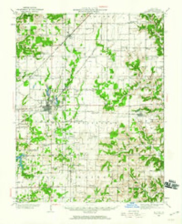
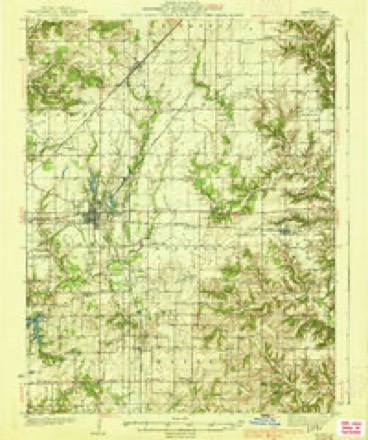
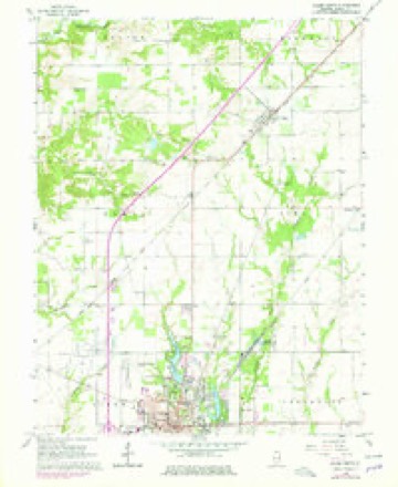
11 topographic sheets cover this place, the earliest surveyed in 1934 and the latest in 1986. It stands in Alma Township. The Survey maps it on the Salem North quadrangle.
Topographic sheets covering this place
6 surveys from 11 printed sheetsMatched by testing this settlement's coordinate against the published boundary of every sheet in the United States Geological Survey's historical collection. Each opens the scanned sheet at the Survey.
- 1934 USGS Salem quadrangle1:62500
- 1938 USGS Salem quadrangle1:62500, 2 printings
- 1958 USGS Belleville quadrangle1:250000, 3 printings
- 1962 USGS Belleville quadrangle1:250000
- 1965 USGS Salem North quadrangle1:24000, 2 printings
- 1986 USGS Olney quadrangle1:100000, 2 printings


In the county-history sources
746 words on this townshipBrinkerhoff's History of Marion County, Illinois, published 1909 names this settlement in its chapter on Alma Township. These are the passages that mention it, exactly as the scans read.
The station of Brubaker on the Chicago & Eastern Illinois Railroad is an active little hamlet. It contains two stores, a saw-mill, blacksmith shop and the Alma town house. It was laid out bv E. E. Brubaker, who built a two-story store room upon the completion of the railroad in 1895, and he has conducted a flourishing business ever since. Much produce is also shipped from here, and also live stock. The railroad company just after the Chicago & Eastern Illinois took charge opened an extensive ballastburning experiment and acres of clay was dug and mixed with coal and burned, but for some reason the work was stopped, and all that remains is a considerable body of water, forming an artificial lake.
Passage source: Brinkerhoff's History of Marion County, Illinois, published 1909.
Machine-read from a century-old scan, so expect the errors a machine makes: misspelled names, dropped words, stray characters.
Mines and quarries near this place
1 within 5 milesRegional context, not property-specific evidence. The federal mineral resources record lists 1 working within 5 miles of Brubaker: 1 past producer. None of them still produces. What was taken out: Stone, Crushed/Broken. Distance is straight-line from the map coordinates, so a quarry counted here may appear on a neighbouring settlement's page as well.
| Where | Site | Commodity | Status | Recorded |
|---|---|---|---|---|
| Shufeldt Property | Stone, Crushed/Broken | Past Producer |
Storms near this place
2 since 2025Regional context, not property-specific evidence. The National Weather Service names Brubaker in 2 storm reports in 2025: 2 thunderstorm wind. No death or injury is recorded in these reports. Each account below is quoted exactly as the forecast office filed it, from the NOAA Storm Events Database, and each date opens the federal record of that event.
| When | Event | Place named | Harm | What the report says |
|---|---|---|---|---|
| April 2025 | Thunderstorm Wind | Brubaker | - | Thunderstorm winds destroyed a couple of outbuildings along Kinmundy Road just south of Williams Road. |
| July 2025 | Thunderstorm Wind | Brubaker | - | Thunderstorm winds downed a tree in the general location of this point. |
Nearest settlements
The eight closest, with where each one stands in the county. Distances are straight-line, computed from the Geographic Names Information System coordinates.
Elsewhere
Matched on this settlement's Geographic Names Information System number rather than its name, so it cannot be a different place of the same name in another state.
| Wikidata item Q122549432 | The structured record the population and elevation above come from. Public domain (CC0). |
Provenance
This settlement is recorded in the Geographic Names Information System as feature 404992. The sheet list is computed by point-in-boundary test against the United States Geological Survey's historical topographic inventory. Both are works of the United States government and carry no copyright under 17 U.S.C. 105.
Mines and quarries. USGS Mineral Resources Data System (MRDS) https://mrdata.usgs.gov/mrds/ A work of the United States government, no copyright under 17 U.S.C. 105.
Storms. NOAA National Centers for Environmental Information, Storm Events Database https://www.ncei.noaa.gov/stormevents/ A work of the United States government, no copyright under 17 U.S.C. 105. Narratives are quoted verbatim from the National Weather Service report and are not edited or summarised.