 Block
Cary, Illinois
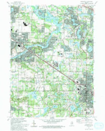
19 topographic sheets cover this place, the earliest surveyed in 1923 and the latest in 1993. It stands in Algonquin Township. It lies in ZIP code area 60013. It stands on Cary Creek. The Survey maps it on the Barrington quadrangle.
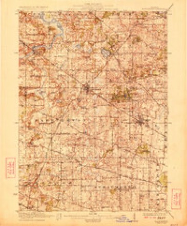
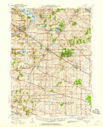
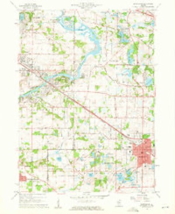
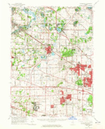
Topographic sheets covering this place
10 surveys from 19 printed sheetsMatched by testing this settlement's coordinate against the published boundary of every sheet in the United States Geological Survey's historical collection. Each opens the scanned sheet at the Survey.
- 1923 USGS Barrington quadrangle1:62500, 4 printings
- 1935 USGS Barrington quadrangle1:62500
- 1954 USGS Rockford quadrangle1:250000
- 1955 USGS Rockford quadrangle1:250000
- 1958 USGS Rockford quadrangle1:250000, 4 printings
- 1960 USGS Barrington quadrangle1:24000, 4 printings
- 1961 USGS Barrington quadrangle1:62500
- 1963 USGS Rockford quadrangle1:250000
- 1981 USGS Elgin quadrangle1:100000
- 1993 USGS Barrington quadrangle1:24000





In the county-history sources
16,941 words on this townshipHistory of McHenry County, Illinois : Together with Sketches of Its Cities, Villages and Towns : Educational, Religious, Civil, Military, and Political History : Portraits of Prominent Persons, and Biographies of Representative Citizens, Also a Condensed History of Illinois .., published 1885 names this settlement in its chapter on Algonquin Township. These are the passages that mention it, exactly as the scans read.
In 1837 Levi Seebert came also from Virginia and located in this township. He married a daughter of Samuel Gillilan's and resides at Cary Station. Hosea Thropp came from Chautauqua, N. Y, in 1839 and now resides at Ridgefield, this county. Newman Crabtree and brother came from New York in 1836. Newman died in 1842, and his brother a few years afterward. Simon Chandler came from New York in 1836, and still resides across the river east of Algonquin Village. Thomas Chunn, of Virginia, came in 1836, and died in 1843. Isaac Denny, of Virginia, came in 1836, and died in 1848. Edwin Powell came from New York in 1837, and died in 1853. Major Beardsley came from New York in 1836, and died in 1842. John Kern came from New York in 1836, and died in 1847, while on his way to California. Among the early settlers of this township are found the names of Beman
Passage source: History of McHenry County, Illinois : Together with Sketches of Its Cities, Villages and Towns : Educational, Religious, Civil, Military, and Political History : Portraits of Prominent Persons, and Biographies of Representative Citizens, Also a Condensed History of Illinois .., published 1885.
The first public burying grounds were laid out at Crystal Lake in 1840. It contains two and a half acres and is kept in a splendid condition. The first person buried here was Ella King, daughter of Isaac King, it was at the instance of her death that the ground was set apart as a place of burial. In 1853 the Cemetery of Algonquin Village was laid out. It is situated north of the village and contains two acres, and is kept in moderately good condition. The land was donated by Samuel Edwards, whose wife died in 1853, and was the first person buried here. The third burying ground established in the township was at Cary Station, in the year 1862. It contains about one acre of ground, and is kept in good condition.
Passage source: History of McHenry County, Illinois : Together with Sketches of Its Cities, Villages and Towns : Educational, Religious, Civil, Military, and Political History : Portraits of Prominent Persons, and Biographies of Representative Citizens, Also a Condensed History of Illinois .., published 1885.
Thepostoffice was established at Algonquin in 1836 it being the first in the township. Dr. Cornish was-the first Postmaster appointed. He was succeeded by Isaac Denney, whose place was taken by John Peters, and he in turn was succeeded by John Sears. The present Postmaster is Charles Chunn. The following named persons are said to have at different times held the postoffice but the dates indicating their term of office or time of holding it we are unable to give: Eli Henderson, Peter Potter, Samuel Finch and Colonel Wm. Henry.
Passage source: History of McHenry County, Illinois : Together with Sketches of Its Cities, Villages and Towns : Educational, Religious, Civil, Military, and Political History : Portraits of Prominent Persons, and Biographies of Representative Citizens, Also a Condensed History of Illinois .., published 1885.
Machine-read from a century-old scan, so expect the errors a machine makes: misspelled names, dropped words, stray characters.
Read the whole chapter on Algonquin Township - it names this place 3 more 3 times.
Fires near this place
1 since 2009Regional context, not property-specific evidence. The federal wildfire occurrence database lists 1 fire within 5 miles of Cary in 2009, burning about 3 acres in total. None started naturally. None was recorded as arson. Distance is straight-line from the map coordinates, so a fire counted here may appear on a neighbouring settlement's page as well.
| Reported cause | Fires |
|---|---|
| Missing data/not specified/undetermined | 1 |
The most recent of them, most recent first, with the day each was reported and the service that recorded it.
| Date | Cause | Size | Reported by | Name on the report |
|---|---|---|---|---|
| 17 February 2009 | Missing data/not specified/undetermined | 3.0 acres | Illinois Division of Forestry Resources | D |
Settlements close enough to share some of these fires:
Mines and quarries near this place
9 within 5 milesRegional context, not property-specific evidence. The federal mineral resources record lists 9 workings within 5 miles of Cary: 6 producers, 3 past producers. 6 still produce. What was taken out: Sand and Gravel, Construction. Distance is straight-line from the map coordinates, so a quarry counted here may appear on a neighbouring settlement's page as well.
| Where | Site | Commodity | Status | Recorded |
|---|---|---|---|---|
| Algonquin Pit #5 | Sand and Gravel, Construction | Producer | ||
| Algonquin Plant | Sand and Gravel, Construction | Past Producer | ||
| Algonquin Sand & Gravel | Sand and Gravel, Construction | Producer | ||
| Carpentersville Pit #25 | Sand and Gravel, Construction | Producer | ||
| Cary Plant & Portable Mill | Sand and Gravel, Construction | Past Producer | ||
| Crystal Lake Sand & Gravel Pit | Sand and Gravel, Construction | Producer | ||
| Dundee Pit Meyer Material | Sand and Gravel, Construction | Producer | ||
| Island Lake Pit | Sand and Gravel, Construction | Producer | ||
| Unnamed Pit | Sand and Gravel, Construction | Past Producer |
Storms near this place
17 since 2000Regional context, not property-specific evidence. The National Weather Service names Cary in 17 storm reports between 2000 and 2025: 9 thunderstorm wind, 6 hail, 2 heavy rain. No death or injury is recorded in these reports. Each account below is quoted exactly as the forecast office filed it, from the NOAA Storm Events Database, and each date opens the federal record of that event.
| When | Event | Place named | Harm | What the report says |
|---|---|---|---|---|
| July 2008 | Thunderstorm Wind | Cary | $3,000 | A light pole was blown down in a parking lot along Northwest Highway. The light pole struck four parked cars. |
| August 2018 | Thunderstorm Wind | Cary | $1,000 | Tree limbs and power lines were blown down. Some limbs were partially blocking roads. One tree limb was tangled in power lines. |
| June 2008 | Thunderstorm Wind | Cary | $1,000 | Numerous tree limbs were blown down and a utility pole was snapped in half. |
| March 2025 | Thunderstorm Wind | Cary | - | A report was received of downed power lines spawning a fire near Cary. |
| August 2025 | Thunderstorm Wind | Cary | - | Numerous photos were shared of large branches and at least one uprooted tree in and around Cary. |
| June 2024 | Heavy Rain | Cary | - | Mesonet station FW3908 recorded 4.37 of rain. |
| June 2024 | Heavy Rain | Cary | - | Storm total rainfall of 5.99 was recorded in Cary. |
| August 2021 | Thunderstorm Wind | Cary | - | Numerous trees and power lines were blown down. |
| June 2019 | Thunderstorm Wind | Cary | - | A large tree was blown down onto power lines. |
| June 2008 | Hail | Cary | - | Penny to nickel size hail lasting 10 minutes was reported in Cary. |
| May 2005 | Hail | Cary | - | Half dollar size hail was reported covering the ground. |
| July 2005 | Thunderstorm Wind | Cary | - | A large tree was uprooted and fell onto a house causing minor damage to the roof. Tree limbs were also blown down across some areas. |
| May 2004 | Thunderstorm Wind | Cary | - | Large tree limbs were blown down. |
| July 2017 | Hail | Cary | - | no account filed |
| April 2014 | Hail | Cary | - | no account filed |
| May 2012 | Hail | Cary | - | no account filed |
| May 2000 | Hail | Cary | - | no account filed |
Nearest settlements
The eight closest, with where each one stands in the county. Distances are straight-line, computed from the Geographic Names Information System coordinates.
| Map | Place | Distance | Sheets |
|---|---|---|---|
| Trout Valley | 1.3 miles | 19 | |
| Fox River Grove | 1.5 miles | 19 | |
| Silver Lake | 1.6 miles | 19 | |
| Turner Camp | 1.7 miles | 19 | |
| Ski Hill | 1.8 miles | 19 | |
| Haegers Bend | 2.0 miles | 19 | |
| Oakwood Hills | 2.4 miles | 19 | |
| Rawson Bridge | 2.4 miles | 19 |
Provenance
This settlement is recorded in the Geographic Names Information System as feature 405667. The sheet list is computed by point-in-boundary test against the United States Geological Survey's historical topographic inventory. Both are works of the United States government and carry no copyright under 17 U.S.C. 105.
Wildfire. Short, Karen C. 2022. Spatial wildfire occurrence data for the United States, 1992-2020 [FPA_FOD_20221014]. 6th Edition. Fort Collins, CO: Forest Service Research Data Archive. https://doi.org/10.2737/RDS-2013-0009.6 Collected with United States Government funding and usable without additional permissions or fees.
Mines and quarries. USGS Mineral Resources Data System (MRDS) https://mrdata.usgs.gov/mrds/ A work of the United States government, no copyright under 17 U.S.C. 105.
Storms. NOAA National Centers for Environmental Information, Storm Events Database https://www.ncei.noaa.gov/stormevents/ A work of the United States government, no copyright under 17 U.S.C. 105. Narratives are quoted verbatim from the National Weather Service report and are not edited or summarised.