 Block
Centerville, Illinois
12 topographic sheets cover this place, the earliest surveyed in 1931 and the latest in 1989. It stands in Lynn Township. It lies in ZIP code area 61485. The Survey maps it on the Victoria quadrangle. It stands 781 feet above sea level.
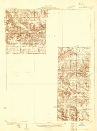
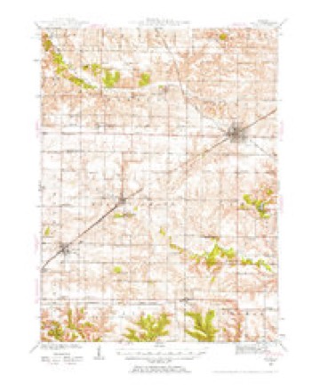
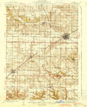
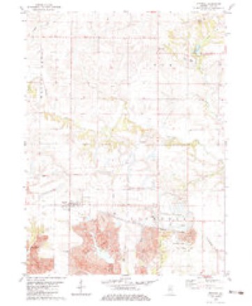
Topographic sheets covering this place
9 surveys from 12 printed sheetsMatched by testing this settlement's coordinate against the published boundary of every sheet in the United States Geological Survey's historical collection. Each opens the scanned sheet at the Survey.
- 1931 USGS Galva quadrangle1:48000
- 1940 USGS Galva quadrangle1:62500, 2 printings
- 1944 USGS Galva quadrangle1:62500, 2 printings
- 1958 USGS Davenport quadrangle1:250000, 2 printings
- 1961 USGS Davenport quadrangle1:250000
- 1962 USGS Davenport quadrangle1:250000
- 1982 USGS Victoria quadrangle1:24000
- 1984 USGS Aledo quadrangle1:100000
- 1989 USGS Aledo quadrangle1:100000





In the county-history sources
4,107 words on this townshipHistory of Knox County, Illinois, published 1878; Portrait and Biographical Album of Knox County, Illinois, published 1886 names this settlement in its chapter on Lynn Township. These are the passages that mention it, exactly as the scans read.
Lynn township has some features peculiar to itself. For instance, it is without a church, town or postoffice within its limits, which can be said of no other township in the county. But with all the inconveniences and want of high moral sentiment such a statement would generally imply, we find Lynn favored with postoffices at convenient and accessible points, and her people are not excelled in moral tone by those of any other section in the county. Indeed their reputation in this direction has justly attained so high a standard that we shall class this one of the peculiar features of the township. Substantiating this is the highly commendable statement that no person has ever been fined in the township for the violation of law; neither was there ever an indictment found, or suit brought in the Circuit Court against any citizen of Lynn for a criminal offense. Her people, however, en- joy the elevating; influences of the churches in the surrounding towns, some of which are accessible to all parts of the township. The school buildings and the character of the schools of this township are second to none in Knox county. The soil of the township is fertile, well drained and supplied with timber, a beautiful grove being in its midst. On the southern edge of this grove, in the spring of 1830, Michael Fraker located, being the first settler in the northeastern part of the county. His original cabin, and the oldest house now standing in the county, erected in 1830, is occupied by R. Harrison. This same log house, when owned by Alden Bennett, was about twelve years ago adorned with blinds by E. Child, of Oneida, and to-day is one of the substantial farm houses of Lynn township. It was erected by Mr. Fraker on section 23, but at present stands on the northeast corner of section 16.
Passage source: History of Knox County, Illinois, published 1878.
The first couple to lead off in the matrimonial venture were William Hitchcock and Julia Fraker, who were married at Knoxville. Their commendable example was soon followed by those believing in the truth, " It is not good for man to be alone." Among these were Peter Miner and Matilda Smith. They were content to be married in the settlement, and the services were performed by 'Squire Fitch. These were the first of the kind in the township, and were conducted at the 'Squire's humble cabin.
Passage source: Portrait and Biographical Album of Knox County, Illinois, published 1886.
William Dunbar opened a " public house," near the " Grove," not long after the settlement. It was largely patronized by people coming in from an easterly direction, looking up land and favorable locations to build homes for themselves. In 1846 Mr. Barlow opened 'ip his tavern at Fraker's Grove, on the southeast side. It became popular as a hostelry and was called the " Travelers' Home." It was all its name indicated, an abiding place to " the stranger
Passage source: Portrait and Biographical Album of Knox County, Illinois, published 1886.
Machine-read from a century-old scan, so expect the errors a machine makes: misspelled names, dropped words, stray characters.
Read the whole chapter on Lynn Township - it names this place 2 more 2 times.
Storms near this place
10 since 2009Regional context, not property-specific evidence. The National Weather Service names Centerville in 10 storm reports between 2009 and 2026: 7 thunderstorm wind, 1 flood, 1 hail, 1 tornado. No death or injury is recorded in these reports. Each account below is quoted exactly as the forecast office filed it, from the NOAA Storm Events Database, and each date opens the federal record of that event.
| When | Event | Place named | Harm | What the report says |
|---|---|---|---|---|
| November 2010 | Thunderstorm Wind | Centerville | $25,000 | Ten pine trees were snapped off at the base and about a dozen large headstones were toppled at the Galva Cemetery one mile south of Galva in far northern Knox County. |
| May 2011 | Thunderstorm Wind | Centerville | $10,000 | Several trees were blown down, blocking both lanes of the access road to the Lake Calhoun Golf Course. |
| March 2026 | Thunderstorm Wind | Centerville | - | Multiple power lines were blown down, a carport was snapped, and a large shipping container was flipped against a house north of the IL-180 and IL-167 intersection. |
| March 2026 | Thunderstorm Wind | Centerville | - | A steel post in a concrete setting was ripped out of the ground. |
| March 2026 | Tornado (EF1) | Centerville | - | A tornado touched down about 4 miles west of West Jersey southwest of the intersection of Knox Road 2250 North and Knox Road 2350 East in far northeastern Knox County at 7:22 PM CDT. The tornado initially toppled a large shipping container and caused tree damage before crossing into western Stark County southwest of Walnut Creek at 7:23 PM CDT. |
| March 2026 | Thunderstorm Wind | Centerville | - | A grain silo was damaged. |
| June 2024 | Thunderstorm Wind | Centerville | - | A few trees were blown down in Galva Cemetery. |
| March 2023 | Thunderstorm Wind | Centerville | - | A power pole was blown down and a tree was knocked over in the Galva Cemetery along Highway 17. |
| March 2009 | Flood | Centerville | - | A man was rescued from his vehicle near LaFayette in northeastern Knox County when he tried to cross a roadway flooded by a nearby creek. |
| March 2024 | Hail | Centerville | - | no account filed |
Nearest settlements
The eight closest, with where each one stands in the county. Distances are straight-line, computed from the Geographic Names Information System coordinates.
Elsewhere
Matched on this settlement's Geographic Names Information System number rather than its name, so it cannot be a different place of the same name in another state.
| Wikipedia article on Centerville | An encyclopaedic summary. Its text is share-alike, so it is linked here rather than copied. |
| Wikidata item Q5060096 | The structured record the population and elevation above come from. Public domain (CC0). |
Provenance
This settlement is recorded in the Geographic Names Information System as feature 422537. The sheet list is computed by point-in-boundary test against the United States Geological Survey's historical topographic inventory. Both are works of the United States government and carry no copyright under 17 U.S.C. 105.
Storms. NOAA National Centers for Environmental Information, Storm Events Database https://www.ncei.noaa.gov/stormevents/ A work of the United States government, no copyright under 17 U.S.C. 105. Narratives are quoted verbatim from the National Weather Service report and are not edited or summarised.