 Block
Victoria, Illinois
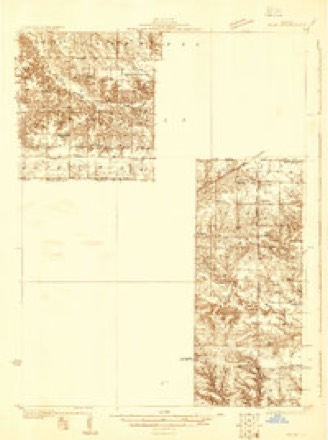
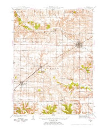
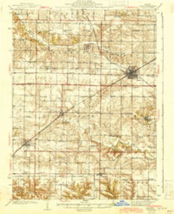
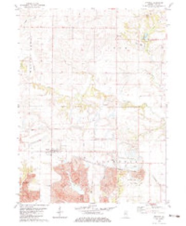
12 topographic sheets cover this place, the earliest surveyed in 1931 and the latest in 1989. It stands in Copley Township. It lies in ZIP code area 61485. The Survey maps it on the Victoria quadrangle. 268 people lived here at the 2020 count.
Population over time
2 figuresVictoria fell from 316 to 268 between 2010 and 2020. These are the recorded population figures Wikidata holds for this place, reached through the Geographic Names Information System number this page is keyed on rather than by name, so they belong to this place and not to another of the same name. Most are census counts, but not all are: an early figure may be a founding or settlement estimate, and an estimate published within five years of a census is left out. The change column is computed, and is left blank where more than 20 years separate a figure from the one before it, because a gap that long is not a change between two counts.
| Year | People | Change |
|---|---|---|
| 2010 | 316 | |
| 2020 | 268 | -48 (-15%) |
Topographic sheets covering this place
9 surveys from 12 printed sheetsMatched by testing this settlement's coordinate against the published boundary of every sheet in the United States Geological Survey's historical collection. Each opens the scanned sheet at the Survey.
- 1931 USGS Galva quadrangle1:48000
- 1940 USGS Galva quadrangle1:62500, 2 printings
- 1944 USGS Galva quadrangle1:62500, 2 printings
- 1958 USGS Davenport quadrangle1:250000, 2 printings
- 1961 USGS Davenport quadrangle1:250000
- 1962 USGS Davenport quadrangle1:250000
- 1982 USGS Victoria quadrangle1:24000
- 1984 USGS Aledo quadrangle1:100000
- 1989 USGS Aledo quadrangle1:100000





In the county-history sources
15,353 words on this townshipAnnals of Knox County : Commemorating Centennial of Admission of Illinois As a State of the Union in 1818, published 1921 names this settlement in its chapter on Copley Township. These are the passages that mention it, exactly as the scans read.
The surface of Copley Township, so named from a prominent family of that name at one time residing in it, consists chiefly of fertile prairie land, just sufficiently rolling to ensure good drainage, though in its southern part there is some broken ground, probably one-fourth of its area having been originally timber land.
Passage source: Annals of Knox County : Commemorating Centennial of Admission of Illinois As a State of the Union in 1818, published 1921.
The first child born in Copley was a son of Mathew Herbert, in 1836. The first death was that of Harriet Foster, in 1842. Rev. Charles Bostwick and Mrs Hurr were the first couple to be married, and Rev. Mr. Bostwick preached the first sermon in 1840, in a log school house.
Passage source: Annals of Knox County : Commemorating Centennial of Admission of Illinois As a State of the Union in 1818, published 1921.
Machine-read from a century-old scan, so expect the errors a machine makes: misspelled names, dropped words, stray characters.
Read the whole chapter on Copley Township - it names this place 1 more 1 time.
Storms near this place
12 since 1996Regional context, not property-specific evidence. The National Weather Service names Victoria in 12 storm reports between 1996 and 2025: 4 thunderstorm wind, 4 tornado, 4 hail. No death or injury is recorded in these reports. Each account below is quoted exactly as the forecast office filed it, from the NOAA Storm Events Database, and each date opens the federal record of that event.
| When | Event | Place named | Harm | What the report says |
|---|---|---|---|---|
| June 2009 | Thunderstorm Wind | Victoria | $65,000 | A two-story barn and numerous trees were blown down. |
| April 2025 | Tornado (EF1) | Victoria | - | A tornado touched down just south of Highway 167 about a mile west of Victoria at 8:39 PM CDT. The tornado snapped 4 power poles along Highway 167, then tracked northeastward and damaged numerous trees and a few outbuildings before passing through the Galva Cemetery and crossing into the National Weather Service Quad Cities County Warning Area in Henry County at 8:49 PM CDT. |
| April 2004 | Tornado (F0) | Victoria | - | A tornado touched down 3 miles northwest of Victoria and traveled to the northeast. As it reached the intersection of 2500N and 1700E, it destroyed one farm building and damaged two other farm buildings. It continued to move to the northeast lifting 4.5 miles north of Victoria. Several trees and power lines were blown down as well. No injuries were reported. |
| April 2003 | Tornado (F0) | Victoria | - | A tornado briefly touched down in a field northeast of Victoria and was on the ground for about a mile. No damage or injuries were reported with this tornado. |
| April 2003 | Thunderstorm Wind | Victoria | - | Several power lines were blown down in Victoria. |
| August 1997 | Tornado (F0) | Victoria | - | A tornado briefly touched down on the south side of Lake Calhoun. It blew down between 25 to 30 large trees, some of which fell onto a picnic pavilion destroying it. No injuries were reported and no damage estimate was available. |
| August 1997 | Thunderstorm Wind | Victoria | - | Several large trees were blown down, as well as, several power lines at Lake Calhoun. No injuries were reported and no damage estimate was available. |
| August 2014 | Hail | Victoria | - | no account filed |
| May 2012 | Hail | Victoria | - | no account filed |
| April 2006 | Hail | Victoria | - | no account filed |
| August 1999 | Hail | Victoria | - | no account filed |
| June 1996 | Thunderstorm Wind | Victoria | - | no account filed |
Nearest settlements
The eight closest, with where each one stands in the county. Distances are straight-line, computed from the Geographic Names Information System coordinates.
| Map | Place | Distance | Sheets |
|---|---|---|---|
| Centerville | 3.2 miles | 12 | |
| Oak Run | 5.4 miles | 17 | |
| Truro | 6.0 miles | 16 | |
| Altona | 6.6 miles | 12 | |
| Oneida | 7.2 miles | 12 | |
| Appleton | 7.5 miles | 17 | |
| Dahinda | 7.5 miles | 16 | |
| Trenton Corners | 8.7 miles | 16 |
Elsewhere
Matched on this settlement's Geographic Names Information System number rather than its name, so it cannot be a different place of the same name in another state.
| Wikipedia article on Victoria | An encyclopaedic summary. Its text is share-alike, so it is linked here rather than copied. |
| Wikidata item Q2485384 | The structured record the population and elevation above come from. Public domain (CC0). |
Provenance
This settlement is recorded in the Geographic Names Information System as feature 420290. The sheet list is computed by point-in-boundary test against the United States Geological Survey's historical topographic inventory. Both are works of the United States government and carry no copyright under 17 U.S.C. 105.
Storms. NOAA National Centers for Environmental Information, Storm Events Database https://www.ncei.noaa.gov/stormevents/ A work of the United States government, no copyright under 17 U.S.C. 105. Narratives are quoted verbatim from the National Weather Service report and are not edited or summarised.