 Block
Centerville, Illinois
9 topographic sheets cover this place, the earliest surveyed in 1940 and the latest in 1982. It stands in Burnt Prairie Township. It lies in ZIP code area 62821. It lies near Boyd Hill. The Survey maps it on the Centerville quadrangle.
Topographic sheets covering this place
6 surveys from 9 printed sheetsMatched by testing this settlement's coordinate against the published boundary of every sheet in the United States Geological Survey's historical collection. Each opens the scanned sheet at the Survey.
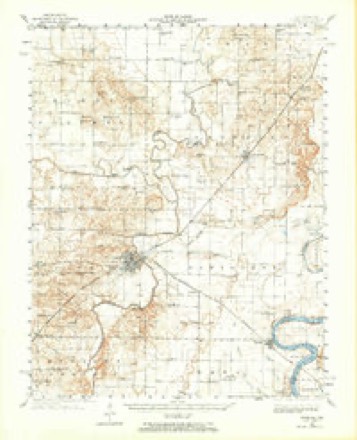
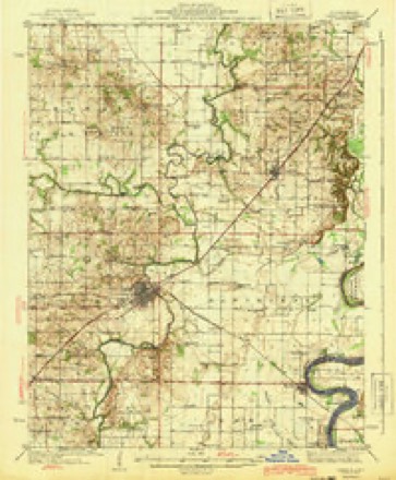
- 1940 USGS Carmi quadrangle1:62500
- 1943 USGS Carmi quadrangle1:62500, 2 printings
- 1958 USGS Belleville quadrangle1:250000, 3 printings
- 1962 USGS Belleville quadrangle1:250000
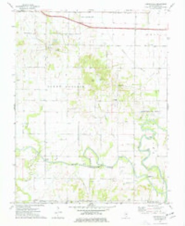
- 1974 USGS Centerville quadrangle1:24000
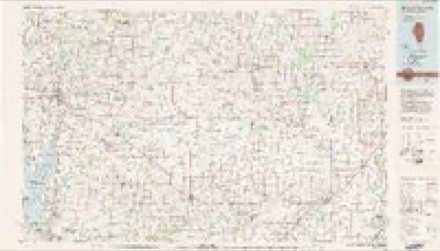
- 1982 USGS Mount Vernon quadrangle1:100000


Storms near this place
3 since 2001Regional context, not property-specific evidence. The National Weather Service names Centerville in 3 storm reports between 2001 and 2017: 2 thunderstorm wind, 1 flood. The reports record 2 injuries. Each account below is quoted exactly as the forecast office filed it, from the NOAA Storm Events Database, and each date opens the federal record of that event.
| When | Event | Place named | Harm | What the report says |
|---|---|---|---|---|
| October 2001 | Thunderstorm Wind | Centerville | 2 hurt, $200,000 | Damaging straight-line winds raked northern White County, downing trees and power lines, and destroying at least one pole barn. On County Road 800 East, a school bus was stopped when it was caught between fallen trees. A number of semi-tractor trailers and cars were blown off Interstate 64 about 6 miles west of Grayville. The driver of one of the semis was treated at a local hospital for minor injuries. A second person was injured on Interstate 64, but no details were available. South of Burnt Prairie, several hogs were killed when a silo blew over and crashed into a hog barn. Roofs were blown off several buildings at a fertilizer plant near Burnt Prairie. A number of residences around Centerville were damaged, mainly by downed trees and limbs. Trees and limbs were downed in Crossville and Grayville, including one that fell on a home in Crossville. Several power lines were down in Carmi, and at least two poles were broken. |
| May 2017 | Flood | Centerville | $100,000 | Major to historic flooding occurred on the Little Wabash River. At the Carmi river gage, the river crested at 36.01 feet on the 8th. Flood stage is 27 feet. This crest of 36 feet was less than 2.5 feet below the flood crest in the spring of 2011. A few families in the Carmi area were displaced by flooding. Illinois Route 1 in Carmi was closed. Several streets in East Carmi and many rural roads were closed by flooding. Extensive flooding of farmlands and fields occurred. Some oil wells were shut down by flooding. |
| March 2002 | Thunderstorm Wind | Centerville | $3,000 | Two power poles were blown down. |
Nearest settlements
The eight closest, with where each one stands in the county. Distances are straight-line, computed from the Geographic Names Information System coordinates.
| Map | Place | Distance | Sheets |
|---|---|---|---|
| Crossville | 6.0 miles | 9 | |
| Burnt Prairie | 6.2 miles | 8 | |
| Harper (historical) | 6.7 miles | 9 | |
| Carmi | 7.6 miles | 9 | |
| Calvin | 7.8 miles | 9 | |
| Milan | 7.9 miles | 9 | |
| Garnerville | 8.4 miles | 11 | |
| Phillipstown | 8.7 miles | 9 |
Provenance
This settlement is recorded in the Geographic Names Information System as feature 405841. The sheet list is computed by point-in-boundary test against the United States Geological Survey's historical topographic inventory. Both are works of the United States government and carry no copyright under 17 U.S.C. 105.
Storms. NOAA National Centers for Environmental Information, Storm Events Database https://www.ncei.noaa.gov/stormevents/ A work of the United States government, no copyright under 17 U.S.C. 105. Narratives are quoted verbatim from the National Weather Service report and are not edited or summarised.