 Block
Chambersburg, Illinois
12 topographic sheets cover this place, the earliest surveyed in 1928 and the latest in 1990. It stands in Chambersburg Township. It lies in ZIP code area 62323. The Survey maps it on the Perry East quadrangle. It stands 466 feet above sea level.
Topographic sheets covering this place
7 surveys from 12 printed sheetsMatched by testing this settlement's coordinate against the published boundary of every sheet in the United States Geological Survey's historical collection. Each opens the scanned sheet at the Survey.
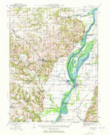
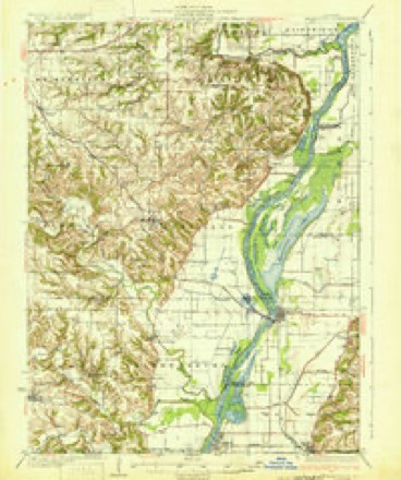
- 1928 USGS Meredosia quadrangle1:62500, 2 printings
- 1931 USGS Meredosia quadrangle1:62500, 2 printings
- 1948 USGS Quincy quadrangle1:250000, 2 printings
- 1956 USGS Quincy quadrangle1:250000, 3 printings
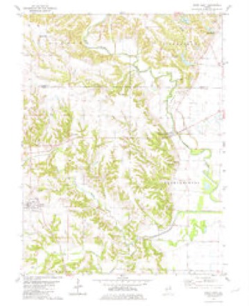
- 1980 USGS Perry East quadrangle1:24000
- 1985 USGS Meredosia quadrangle1:100000
- 1990 USGS Meredosia quadrangle1:100000


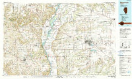
In the county-history sources
2,625 words on this townshipHistory of Pike County. A Centennial Address Delivered by Hon. William A. Grimshaw, at Pittsfield, Pike County, Illinois, July 4, 1876, published 1877 names this settlement in its chapter on Chambersburg Township. These are the passages that mention it, exactly as the scans read.
This town has had her celebrities, as 'Benj. Metz, once a worthy member of the Illinois Legislature; Jack Morris, James Johns, the whole and numerous race of Metz junior, and also the abounding family of Ham. This family cannot realize the joke of Lord Bacon to one Hog, who claim- ed kin to his Lordship; the Judge's reply was, "You are not bacon until you are hung," and he then sentenced him to be hung. The Hams are too honest to swing so high.
Passage source: History of Pike County. A Centennial Address Delivered by Hon. William A. Grimshaw, at Pittsfield, Pike County, Illinois, July 4, 1876, published 1877.
It is said impartial history is not written of the living or of current events. We now come to the sketch of many early settlers yet in life: we do not speak in terms of eulogy for the re :son that they may hear these remarks; the families of the departed have heard the preceding, and we say that we have not set down anything in malice, and have not spoken through favor. We will not enumerate, as we cannot in the time name all the marked people of Pittsfield and the vicinity, but take those who filled a large space for many years in public estimation.
Passage source: History of Pike County. A Centennial Address Delivered by Hon. William A. Grimshaw, at Pittsfield, Pike County, Illinois, July 4, 1876, published 1877.
Machine-read from a century-old scan, so expect the errors a machine makes: misspelled names, dropped words, stray characters.
Fires near this place
1 since 2019Regional context, not property-specific evidence. The federal wildfire occurrence database lists 1 fire within 5 miles of Chambersburg in 2019, burning about 30 acres in total. None started naturally. None was recorded as arson. Distance is straight-line from the map coordinates, so a fire counted here may appear on a neighbouring settlement's page as well.
| Reported cause | Fires |
|---|---|
| Smoking | 1 |
The most recent of them, most recent first, with the day each was reported and the service that recorded it.
| Date | Cause | Size | Reported by | Name on the report |
|---|---|---|---|---|
| 9 February 2019 | Smoking | 30 acres | Illinois Division of Forestry Resources | 19-209 |
Storms near this place
7 since 1999Regional context, not property-specific evidence. The National Weather Service names Chambersburg in 7 storm reports between 1999 and 2013: 3 flood, 1 tornado, 1 thunderstorm wind, 1 hail. No death or injury is recorded in these reports. Each account below is quoted exactly as the forecast office filed it, from the NOAA Storm Events Database, and each date opens the federal record of that event.
| When | Event | Place named | Harm | What the report says |
|---|---|---|---|---|
| April 2013 | Flood | Chambersburg | $5,000 | The Illinois River hit major flood levels from Meredosia to Valley City south into Calhoun County. In Pike County the river crested on April 27th, but remained above flood stage into May. |
| May 2013 | Flood | Chambersburg | $2,000 | The Illinois River along the border of Pike County remained at major flood levels in early May, dropping below flood stage on the 23rd, then rose to major levels again at the end of the month. The river remained in flood into June. |
| June 2013 | Flood | Chambersburg | $1,000 | The Illinois River started June in flood and hit major flood levels cresting on the 6th. The river then slowly fell dropping below flood stage on the 28th. Damage was minimal. |
| July 2010 | Flash Flood | Chambersburg | - | Up to five inches of rain fell in a short amount of time causing flash flooding. Numerous roads were flooded including Illinois Route 96 near New Canton. On the north side of Pittsfield, a church was completely flooded with three to four inches of water flowing through the church. |
| September 2005 | Hail | Chambersburg | - | The public reported 3/4 inch hail south of Chambersburg. |
| August 1999 | Tornado (F0) | Chambersburg | - | no account filed |
| June 1999 | Thunderstorm Wind | Chambersburg | - | no account filed |
Nearest settlements
The eight closest, with where each one stands in the county. Distances are straight-line, computed from the Geographic Names Information System coordinates.
| Map | Place | Distance | Sheets |
|---|---|---|---|
| Perry | 5.2 miles | 12 | |
| Valley City | 7.6 miles | 13 | |
| Griggsville | 8.3 miles | 13 | |
| Maysville | 10.7 miles | 12 | |
| Fishhook | 12.1 miles | 11 | |
| Dutton (historical) | 12.4 miles | 12 | |
| New Salem | 12.6 miles | 12 | |
| Florence | 13.3 miles | 13 |
Elsewhere
Matched on this settlement's Geographic Names Information System number rather than its name, so it cannot be a different place of the same name in another state.
| Wikipedia article on Chambersburg | An encyclopaedic summary. Its text is share-alike, so it is linked here rather than copied. |
| Wikidata item Q5069674 | The structured record the population and elevation above come from. Public domain (CC0). |
Provenance
This settlement is recorded in the Geographic Names Information System as feature 405934. The sheet list is computed by point-in-boundary test against the United States Geological Survey's historical topographic inventory. Both are works of the United States government and carry no copyright under 17 U.S.C. 105.
Wildfire. Short, Karen C. 2022. Spatial wildfire occurrence data for the United States, 1992-2020 [FPA_FOD_20221014]. 6th Edition. Fort Collins, CO: Forest Service Research Data Archive. https://doi.org/10.2737/RDS-2013-0009.6 Collected with United States Government funding and usable without additional permissions or fees.
Storms. NOAA National Centers for Environmental Information, Storm Events Database https://www.ncei.noaa.gov/stormevents/ A work of the United States government, no copyright under 17 U.S.C. 105. Narratives are quoted verbatim from the National Weather Service report and are not edited or summarised.