 Block
Perry, Illinois
12 topographic sheets cover this place, the earliest surveyed in 1928 and the latest in 1990. It stands in Perry Township. It lies in ZIP code area 62362. The Survey maps it on the Perry East quadrangle. 314 people lived here at the 2020 count. It stands 591 feet above sea level.
On record in Perry
Buildings and businesses the archive holds for this place. Each opens its own page, with the source record it came from.
On the National Register 1 record
 Church of Christlisted 2006
Population over time
2 figuresPerry fell from 397 to 314 between 2010 and 2020. These are the recorded population figures Wikidata holds for this place, reached through the Geographic Names Information System number this page is keyed on rather than by name, so they belong to this place and not to another of the same name. Most are census counts, but not all are: an early figure may be a founding or settlement estimate, and an estimate published within five years of a census is left out. The change column is computed, and is left blank where more than 20 years separate a figure from the one before it, because a gap that long is not a change between two counts.
| Year | People | Change |
|---|---|---|
| 2010 | 397 | |
| 2020 | 314 | -83 (-21%) |
Topographic sheets covering this place
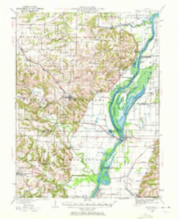
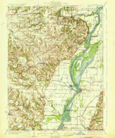
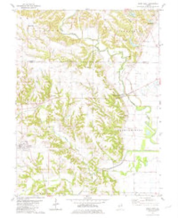
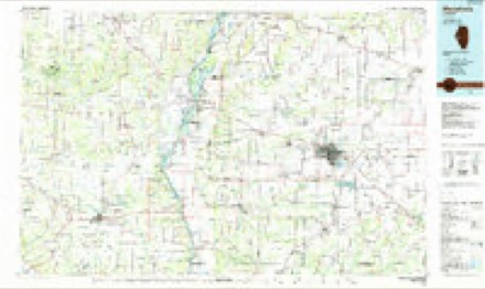
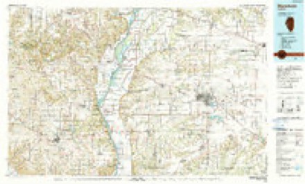
7 surveys from 12 printed sheetsMatched by testing this settlement's coordinate against the published boundary of every sheet in the United States Geological Survey's historical collection. Each opens the scanned sheet at the Survey.
- 1928 USGS Meredosia quadrangle1:62500, 2 printings
- 1931 USGS Meredosia quadrangle1:62500, 2 printings
- 1948 USGS Quincy quadrangle1:250000, 2 printings
- 1956 USGS Quincy quadrangle1:250000, 3 printings
- 1980 USGS Perry East quadrangle1:24000
- 1985 USGS Meredosia quadrangle1:100000
- 1990 USGS Meredosia quadrangle1:100000


In the county-history sources
317 words on this townshipWith The Colors in Pike County, Illinois, published 1920 names this settlement in its chapter on Perry Township. These are the passages that mention it, exactly as the scans read.
A movement to organize a Perry Branch of the Pike County Red Cross Chapter was started by Miss Grace Daigh in May, 1917, when about a dozen members were secured. July 4th was celebrated by Perry community, and a special canvass for members, directed by J. C. Baker, was made that day, resulting in an increase to about fifty members. No further action was taken until a meeting was called September first for the election of officers. This election resulted as follows: Chairman, J. R.,Sims; vice-chairman, Mrs. Eva Dorsey; secretary, Miss Ora Higgins; treasurer, Mrs. Lila Gregory.
Passage source: With The Colors in Pike County, Illinois, published 1920.
Machine-read from a century-old scan, so expect the errors a machine makes: misspelled names, dropped words, stray characters.
Mines and quarries near this place
1 within 5 milesRegional context, not property-specific evidence. The federal mineral resources record lists 1 working within 5 miles of Perry: 1 prospect. None of them still produces. What was taken out: Fire Clay (Refractory). Distance is straight-line from the map coordinates, so a quarry counted here may appear on a neighbouring settlement's page as well.
| Where | Site | Commodity | Status | Recorded |
|---|---|---|---|---|
| Ill.Highway Shale Exposure | Fire Clay (Refractory) | Prospect |
Storms near this place
18 since 1995Regional context, not property-specific evidence. The National Weather Service names Perry in 18 storm reports between 1995 and 2021: 11 thunderstorm wind, 5 hail, 1 tornado, 1 lightning. The reports record 2 injuries. Each account below is quoted exactly as the forecast office filed it, from the NOAA Storm Events Database, and each date opens the federal record of that event.
| When | Event | Place named | Harm | What the report says |
|---|---|---|---|---|
| September 2007 | Tornado (EF0) | Perry | 2 hurt | A tornado touched down 1.7 miles west southwest of Perry off of Township Road 3225E. It travelled to the east northeast with intermittent touchdowns occurring until the tornado reached the southern portion of Perry. On the south side of Perry, a vacant mobile home had its roof and northwest corner ripped off. Another mobile home had a tree land on it causing extensive damage and two children in the home sustained minor cuts and bruises. Also, 3 homes sustained window and shingle damage, a barn lost part of its roof, and numerous trees and tree limbs were blown down. Two vehicles sustained damage from fallen tree limbs. The tornado then lifted and dissipated. |
| October 2014 | Lightning | Perry | $1,000,000 | Lightning struck a historic church built in the 1880s and caught fire. It was a total loss. |
| July 2021 | Thunderstorm Wind | Perry | $20,000 | A wide swath of damaging winds from Perry southward into Griggsville and Valley City. Numerous trees, tree limbs and power lines were blown down. Some of the trees fell onto Illinois Route 107 both north and south of Perry. A power pole was blown down in Griggsville. |
| December 2021 | Thunderstorm Wind | Perry | $10,000 | Pike County dispatch reported three to four trees blown down at the intersection of Illinois Routes 104 and 107. In Griggsville, a transformer was blown and several power lines were blown down. |
| May 1996 | Hail | Perry | $10,000 | no account filed |
| July 2019 | Thunderstorm Wind | Perry | - | Thunderstorm winds caused minor roof damage to a house 3 miles north northwest of Perry. On the outskirts of Perry, the roof of a barn was destroyed, windows were blow out of a tractor and some shingles were ripped off the roof of a house. |
| June 2012 | Thunderstorm Wind | Perry | - | Thunderstorm winds associated with a line of storms blew down numerous tree limbs and a few trees in Perry, Pittsfield and Pleasant Hill. One unoccupied vehicle in Pittsfield was damaged from a flying piece of plywood. |
| June 2011 | Thunderstorm Wind | Perry | - | An intense bow echo moved through the Perry and Griggsville area. Numerous trees, tree limbs and power lines were blown down. In Perry, a large pecan tree was uprooted and fell onto a house causing extensive damage. Also, when the tree fell over the roots broke a gas line causing a leak. No injuries were reported. |
| June 2009 | Thunderstorm Wind | Perry | - | Several trees were blown down in Perry. |
| December 2008 | Thunderstorm Wind | Perry | - | Several large trees were blown down blocking the intersection of Illinois Routes 104 and 107. |
| June 2008 | Thunderstorm Wind | Perry | - | Illinois Route 107 was closed due to several trees blown down onto the road north of Perry. |
| May 2014 | Hail | Perry | - | no account filed |
| April 2011 | Hail | Perry | - | no account filed |
| May 2004 | Thunderstorm Wind | Perry | - | no account filed |
| July 2003 | Thunderstorm Wind | Perry | - | no account filed |
| July 2002 | Thunderstorm Wind | Perry | - | no account filed |
| April 1998 | Hail | Perry | - | no account filed |
| July 1995 | Hail | Perry | - | no account filed |
Nearest settlements
The eight closest, with where each one stands in the county. Distances are straight-line, computed from the Geographic Names Information System coordinates.
| Map | Place | Distance | Sheets |
|---|---|---|---|
| Chambersburg | 5.2 miles | 12 | |
| Griggsville | 5.2 miles | 13 | |
| Maysville | 5.9 miles | 12 | |
| Valley City | 7.2 miles | 13 | |
| New Salem | 7.5 miles | 12 | |
| Fishhook | 7.6 miles | 11 | |
| Dutton (historical) | 8.0 miles | 12 | |
| Baylis | 9.4 miles | 12 |
Elsewhere
Matched on this settlement's Geographic Names Information System number rather than its name, so it cannot be a different place of the same name in another state.
| Wikipedia article on Perry | An encyclopaedic summary. Its text is share-alike, so it is linked here rather than copied. |
| Wikidata item Q966726 | The structured record the population and elevation above come from. Public domain (CC0). |
Provenance
This settlement is recorded in the Geographic Names Information System as feature 415557. The sheet list is computed by point-in-boundary test against the United States Geological Survey's historical topographic inventory. Both are works of the United States government and carry no copyright under 17 U.S.C. 105.
Mines and quarries. USGS Mineral Resources Data System (MRDS) https://mrdata.usgs.gov/mrds/ A work of the United States government, no copyright under 17 U.S.C. 105.
Storms. NOAA National Centers for Environmental Information, Storm Events Database https://www.ncei.noaa.gov/stormevents/ A work of the United States government, no copyright under 17 U.S.C. 105. Narratives are quoted verbatim from the National Weather Service report and are not edited or summarised.