 Block
Chatsworth, Illinois
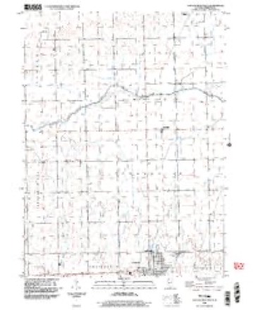
13 topographic sheets cover this place, the earliest surveyed in 1947 and the latest in 1998. It stands in Chatsworth Township. It lies in ZIP code area 60921. The Survey maps it on the Chatsworth North quadrangle. 1,185 people lived here at the 2020 count. It stands 735 feet above sea level.
Population over time
2 figuresChatsworth fell from 1,205 to 1,185 between 2010 and 2020. These are the recorded population figures Wikidata holds for this place, reached through the Geographic Names Information System number this page is keyed on rather than by name, so they belong to this place and not to another of the same name. Most are census counts, but not all are: an early figure may be a founding or settlement estimate, and an estimate published within five years of a census is left out. The change column is computed, and is left blank where more than 20 years separate a figure from the one before it, because a gap that long is not a change between two counts.
| Year | People | Change |
|---|---|---|
| 2010 | 1,205 | |
| 2020 | 1,185 | -20 (-2%) |
Topographic sheets covering this place
9 surveys from 13 printed sheetsMatched by testing this settlement's coordinate against the published boundary of every sheet in the United States Geological Survey's historical collection. Each opens the scanned sheet at the Survey.
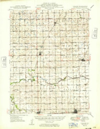
- 1947 USGS Cullom quadrangle1:62500
- 1949 USGS Cullom quadrangle1:62500
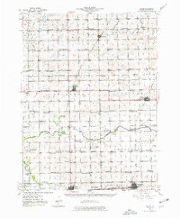
- 1958 USGS Peoria quadrangle1:250000, 4 printings
- 1961 USGS Peoria quadrangle1:250000
- 1963 USGS Peoria quadrangle1:250000
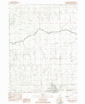
- 1983 USGS Chatsworth North quadrangle1:24000
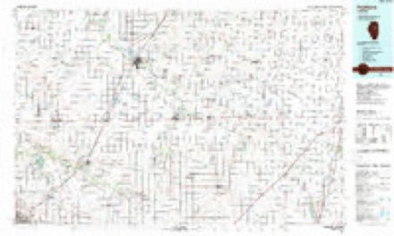
- 1985 USGS Fairbury quadrangle1:100000, 2 printings
- 1990 USGS Peoria quadrangle1:250000
- 1998 USGS Chatsworth North quadrangle1:24000




In the county-history sources
3,522 words on this townshipThe History of Livingston County, Illinois : Containing a History of the County, Its Cities, Towns, &c. .., published 1878 names this settlement in its chapter on Chatsworth Township. These are the passages that mention it, exactly as the scans read.
Chatsworth is situated on the Toledo, Peoria & Warsaw Railway, about forty miles from State line, and seventy miles from the city of Peoria. It was surveyed and laid out by Nelson Buck, County Surveyor, June 8, 1859, for Zeno Secor and Cornelia Gilman of New York, who owned the land on which it is located. In 1853, the land was entered by Solomon Sturges, who, in 1857, conveyed it to Wm. H. Osborn, and Osborn and wife in turn conveyed it to Secor and Gilman. The original town occupied 160 acres of land, embracing the south half of the northwest quarter, and north half of the southwest quarter of Section 3. Since then several additions have been made to the original plat at different times. It has been organized as a village under the Incorporation act, and the first board of officers were Jacob Titus, E. A. Bangs, John S. McElhiny, W. W. Sears and Albert Tuttle. Jacob Titus was elected President of the Board, and George E. Esty. Village Clerk. At present its official board is as follows : John Young, President ; W. F. Dennis, A. M. Roberts, C. Spiecher, Samuel Crumpton and C Guenther; R. M. Spurgin, Clerk; W. H. Wakelin, Treasurer; J. M. Myers, Superintendent of Police, and T. S. Curran, Police Magistrate.
Passage source: The History of Livingston County, Illinois : Containing a History of the County, Its Cities, Towns, &c. .., published 1878.
The first school house was built in 1858, on two lots donated by Osborn for school purposes. This was the first school house in both Chatsworth Township and the village. The present elegant school edifice was built in 1870. Two years ago additions Avere built to it, at a total cost of buildings and additions of ^11,000. It is a two-story frame building, with stone basement, and is finished ofi" in fine style. The teachers and Principal of the school for the year just closed* were as follows : Prof J. T. Dickinson, Principal ; Miss M. J. Speer. Grammar Department : Miss Brown. Miss Aiken and Mrs. Tuckerman : Mrs. Palmer, Primary Department.
Passage source: The History of Livingston County, Illinois : Containing a History of the County, Its Cities, Towns, &c. .., published 1878.
A coal shaft Avas sunk near the village of Chatsworth, in 1867, by Capt. Beard, who had some connection at one time with the east shaft at Fairburv. A stock company was formed among the citizens of Chatsworth, of $10,000, but the stock was never all paid up. Enough, however, was collected to pay Beard for sinking the shaft, which was about 218 feet deep. The works were finally abandoned, upon the report of Beard that there was no prospect of coal. It is thought by some that a good vein of coal was found, but for some reason the fact was concealed, or at least never olficiall}^ reported. One of the men employed in the work said to some frieftds one day, that they passed through a vein of coal about five feet thick in sinking the Chatsworth shaft. Whether this is true or false, we are unable to say.
Passage source: The History of Livingston County, Illinois : Containing a History of the County, Its Cities, Towns, &c. .., published 1878.
Machine-read from a century-old scan, so expect the errors a machine makes: misspelled names, dropped words, stray characters.
Read the whole chapter on Chatsworth Township - it names this place 10 more 10 times.
Mines and quarries near this place
2 within 5 milesRegional context, not property-specific evidence. The federal mineral resources record lists 2 workings within 5 miles of Chatsworth: 2 past producers. None of them still produces. What was taken out: Clay. Distance is straight-line from the map coordinates, so a quarry counted here may appear on a neighbouring settlement's page as well.
| Where | Site | Commodity | Status | Recorded |
|---|---|---|---|---|
| Chatsworth Clay Shale Pit | Clay | Past Producer | ||
| Diller Pit | Clay | Past Producer |
Storms near this place
36 since 2000Regional context, not property-specific evidence. The National Weather Service names Chatsworth in 36 storm reports between 2000 and 2025: 13 thunderstorm wind, 11 hail, 5 flood, 3 tornado. No death or injury is recorded in these reports. Each account below is quoted exactly as the forecast office filed it, from the NOAA Storm Events Database, and each date opens the federal record of that event.
| When | Event | Place named | Harm | What the report says |
|---|---|---|---|---|
| June 2000 | Thunderstorm Wind | Chatsworth | $150,000 | no account filed |
| June 2025 | Flood | Chatsworth | - | A cooperative observer reported minor flooding of rural roads near Chatsworth. |
| May 2024 | Flood | Chatsworth | - | Flooding of yards, fields and roadways was reported near Chatsworth. Rainfall of 3.30 inches was measured in 4.5 hours. |
| July 2024 | Thunderstorm Wind | Chatsworth | - | Large tree limbs were blown down and large metal sheets were removed from a farm outbuilding. |
| May 2023 | Thunderstorm Wind | Chatsworth | - | A COOP observer measured a 65 mph gust in Chatsworth. Numerous tree limbs were reported down including one about 4-5 inches in diameter than had fallen onto a car. |
| May 2023 | Thunderstorm Wind | Chatsworth | - | Multiple live trees were reported down on Locust St and 5th St in Chatsworth. Time was estimated based on radar. |
| July 2022 | Thunderstorm Wind | Chatsworth | - | A photo shared on social media showed a large but unhealthy tree that was blown down. |
| July 2022 | Heavy Rain | Chatsworth | - | Rainfall of 3.00 inches was measured in one hour. |
| April 2022 | Hail | Chatsworth | - | Hail ranged from pea to quarter size. |
| June 2021 | Tornado (EF0) | Chatsworth | - | A tornado with peak winds of 85 mph touched down near 4th Street and Court Street in southern Chatsworth and moved northeast through the southeast side of town. Tree damage was found along the entire path. On 4th Street, a parked camper was blown over. On School Street, playground equipment and a fence were blown over and a garage door was blown in, causing the back of the garage to blow in and collapse. A garage door was damaged along Maple Street where the tornado ended. |
| June 2021 | Funnel Cloud | Chatsworth | - | A funnel cloud was reported near Chatsworth. |
| January 2020 | Flood | Chatsworth | - | Minor flooding of agricultural fields was reported in the Chatsworth area. |
| July 2020 | Thunderstorm Wind | Chatsworth | - | Widespread wind damage was reported in Chatsworth. Numerous large trees, utility poles and power lines were blown down. A shed was blown down, shingles were blown off a roof and a bean field was damaged. |
| July 2018 | Heavy Rain | Chatsworth | - | Rainfall of 2.15 inches was measured in one hour and 15 minutes. |
| August 2016 | Thunderstorm Wind | Chatsworth | - | Large branches downed with 1.37 inches of rain in 15 minutes. |
| July 2016 | Thunderstorm Wind | Chatsworth | - | Trailer was blown over. Also a 10 inch diameter tree down on a carport. |
| June 2016 | Tornado (EF0) | Chatsworth | - | At a residence one tenth of a mile to the east of N 3300 E Rd and E 1000 N Rd, there was a loss of wood or metal roof panels to a barn. The doors were also blown out. Peak winds were estimated at 80 mph, and max width was 10 yards. (Tornado 14 of 15). |
| May 2013 | Thunderstorm Wind | Chatsworth | - | Numerous trees were blown down. A semi was flipped over. |
| August 2007 | Flood | Chatsworth | - | Some secondary roads closed due to flooding. |
| April 2006 | Flood | Chatsworth | - | Street flooding was reported in Chatsworth after 2.70 inches of rain fell in one hour. |
| June 2006 | Hail | Chatsworth | - | Nickel size hail was reported covering the ground. |
| July 2006 | Flash Flood | Chatsworth | - | Six inches of flowing water over streets in Chatsworth, where 4.90 inches of rain was measured. |
| July 2005 | Thunderstorm Wind | Chatsworth | - | A roof was blown off a house and several Evergreen trees were uprooted. |
| July 2020 | Hail | Chatsworth | - | no account filed |
| July 2019 | Hail | Chatsworth | - | no account filed |
| March 2017 | Hail | Chatsworth | - | no account filed |
| March 2016 | Hail | Chatsworth | - | no account filed |
| May 2012 | Hail | Chatsworth | - | no account filed |
| May 2011 | Hail | Chatsworth | - | no account filed |
| April 2006 | Hail | Chatsworth | - | no account filed |
| April 2006 | Hail | Chatsworth | - | no account filed |
| July 2004 | Hail | Chatsworth | - | no account filed |
| July 2003 | Thunderstorm Wind | Chatsworth | - | no account filed |
| August 2001 | Thunderstorm Wind | Chatsworth | - | no account filed |
| April 2000 | Thunderstorm Wind | Chatsworth | - | no account filed |
| May 2000 | Tornado (F0) | Chatsworth | - | no account filed |
Nearest settlements
The eight closest, with where each one stands in the county. Distances are straight-line, computed from the Geographic Names Information System coordinates.
Elsewhere
Matched on this settlement's Geographic Names Information System number rather than its name, so it cannot be a different place of the same name in another state.
| Wikipedia article on Chatsworth | An encyclopaedic summary. Its text is share-alike, so it is linked here rather than copied. |
| Wikidata item Q575855 | The structured record the population and elevation above come from. Public domain (CC0). |
Provenance
This settlement is recorded in the Geographic Names Information System as feature 405993. The sheet list is computed by point-in-boundary test against the United States Geological Survey's historical topographic inventory. Both are works of the United States government and carry no copyright under 17 U.S.C. 105.
Mines and quarries. USGS Mineral Resources Data System (MRDS) https://mrdata.usgs.gov/mrds/ A work of the United States government, no copyright under 17 U.S.C. 105.
Storms. NOAA National Centers for Environmental Information, Storm Events Database https://www.ncei.noaa.gov/stormevents/ A work of the United States government, no copyright under 17 U.S.C. 105. Narratives are quoted verbatim from the National Weather Service report and are not edited or summarised.