 Block
Forrest, Illinois
13 topographic sheets cover this place, the earliest surveyed in 1947 and the latest in 1998. It stands in Forrest Township. It lies in ZIP code area 61741. The Survey maps it on the Forrest North quadrangle. 1,041 people lived here at the 2020 count. It stands 683 feet above sea level.
Population over time
2 figuresForrest fell from 1,220 to 1,041 between 2010 and 2020. These are the recorded population figures Wikidata holds for this place, reached through the Geographic Names Information System number this page is keyed on rather than by name, so they belong to this place and not to another of the same name. Most are census counts, but not all are: an early figure may be a founding or settlement estimate, and an estimate published within five years of a census is left out. The change column is computed, and is left blank where more than 20 years separate a figure from the one before it, because a gap that long is not a change between two counts.
| Year | People | Change |
|---|---|---|
| 2010 | 1,220 | |
| 2020 | 1,041 | -179 (-15%) |
Topographic sheets covering this place
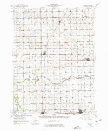
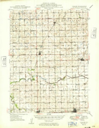
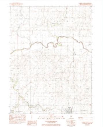
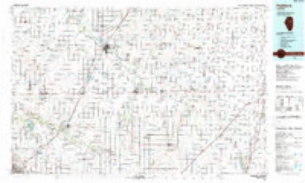
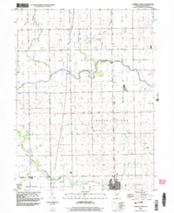
9 surveys from 13 printed sheetsMatched by testing this settlement's coordinate against the published boundary of every sheet in the United States Geological Survey's historical collection. Each opens the scanned sheet at the Survey.
- 1947 USGS Cullom quadrangle1:62500
- 1949 USGS Cullom quadrangle1:62500
- 1958 USGS Peoria quadrangle1:250000, 4 printings
- 1961 USGS Peoria quadrangle1:250000
- 1963 USGS Peoria quadrangle1:250000
- 1983 USGS Forrest North quadrangle1:24000
- 1985 USGS Fairbury quadrangle1:100000, 2 printings
- 1990 USGS Peoria quadrangle1:250000
- 1998 USGS Forrest North quadrangle1:24000




In the county-history sources
2,198 words on this townshipThe History of Livingston County, Illinois : Containing a History of the County, Its Cities, Towns, &c. .., published 1878 names this settlement in its chapter on Forrest Township. These are the passages that mention it, exactly as the scans read.
Forrest village was surveyed and laid out by Alfred C. Huetson, County Surveyor, for I. J. Krack, the original proprietor of the place, on the 11th of December, 1866. It originally embraced parts ojt" the southwest quarter of the northwest quarter, and the northwest quarter of the southwest quarter, and parts of the southeast quarter of the northeast quarter, and the northeast quarter of the southeast quarter of Section 3. He has since made two additions to it. and Bullard has made one addition, February 9, 1876. Forrest is situated on the Toledo, Peoria & Warsaw Railroad, about equidistant between Fairbury and Chatsworth, and has about five hundred inhabitants. The first house was built by Mr. Krack, and he was the first Postmaster and Station Agent of the railroad. The post office was a diminutive affair then, and it is still remembered by many how Krack used to carry the entire office in his hat. Hoyt, who in those early times used to make frequent trips to the village of Eureka dear hunting, says that he would ask Krack to look over the mail, after it was thrown off the train, and give him his, and Krack would empty the mail bag on the ground, sort over the letters, hand out those belonging to him, and he would step on the train before it pulled out.
Passage source: The History of Livingston County, Illinois : Containing a History of the County, Its Cities, Towns, &c. .., published 1878.
The first hotel in Forrest was built by William Umberfield, in 1870, and is now known as the "Forrest House," and is kept by Robert Russell, while Mr. Umberfield, the original proprietor, keeps a hotel and restaurant on the north side of the railroad. The only mill in the village or township was built by R. B. Wilson, about six or seven years ago. It is a frame building, and cost I ^1,500; has two run of buhrs, and is used mostly in grinding stock feed.
Passage source: The History of Livingston County, Illinois : Containing a History of the County, Its Cities, Towns, &c. .., published 1878.
The Methodist Episcopal Church, the first church edifice in Forrest, was built in 1868. The first preacher was Rev. Myron Dewey. When he first came to the charge, Mr. Krack says, he presented a rather unministerial appearance. He was riding an old gray horse, with a blanket, and without saddle or stirrups. He rode up to his place, alighted from his horse and came into the yard, where he (Krack) was dressing a hog; informed him that he was the preacher sent by conference to that charge. Krack looking at him, replied, "Are you? " and continued at his work, thinking, as he says, that he was rather a hard-looking specimen for a preacher. But he was a good man, and labored faithfully in the church at this place. The next minister was Hiram Popejoy, of Avoca Township, who, according to his own story, was rather a hardened youngster in his youth, but being coviverted at Fairbury, finally decided that he was called to preach, and was sent to the charge at Forrest, where he remained two years. Contrary to the saying that " a prophet is without honor in his own country," he was very successful in his pastorate, and left the church in a flourishing condition. The edifice is quite an elegant affair, and cost $8,000. It was dedicated by Rev. Alexander Meharry, of Cincinnati, on its completion, and is, at present, under the pastoral care of Rev. Mr. Eignus. The church numbers about 150 members, and maintains a flourishing Sabbath school, with an average attendance of about seventy-five children, under the superintendency of E. R. Francis.
Passage source: The History of Livingston County, Illinois : Containing a History of the County, Its Cities, Towns, &c. .., published 1878.
Machine-read from a century-old scan, so expect the errors a machine makes: misspelled names, dropped words, stray characters.
Read the whole chapter on Forrest Township - it names this place 3 more 3 times.
Fires near this place
3 since 2010Regional context, not property-specific evidence. The federal wildfire occurrence database lists 3 fires within 5 miles of Forrest between 2010 and 2018, burning about 150 acres in total. None started naturally. None was recorded as arson. Distance is straight-line from the map coordinates, so a fire counted here may appear on a neighbouring settlement's page as well.
| Reported cause | Fires |
|---|---|
| Missing data/not specified/undetermined | 2 |
| Debris and open burning | 1 |
The most recent of them, most recent first, with the day each was reported and the service that recorded it.
| Date | Cause | Size | Reported by | Name on the report |
|---|---|---|---|---|
| 13 April 2010 | Missing data/not specified/undetermined | 75 acres | Illinois Division of Forestry Resources | DAVIS |
| 24 March 2010 | Missing data/not specified/undetermined | 50 acres | Illinois Division of Forestry Resources | ALLAN |
| 3 October 2018 | Debris and open burning | 25 acres | Illinois Division of Forestry Resources | CROSSROAD CRATING |
Settlements close enough to share some of these fires:
Storms near this place
11 since 1994Regional context, not property-specific evidence. The National Weather Service names Forrest in 11 storm reports between 1994 and 2025: 8 thunderstorm wind, 2 hail, 1 flash flood. No death or injury is recorded in these reports. Each account below is quoted exactly as the forecast office filed it, from the NOAA Storm Events Database, and each date opens the federal record of that event.
| When | Event | Place named | Harm | What the report says |
|---|---|---|---|---|
| December 2025 | Thunderstorm Wind | Forrest | - | A shed was torn off its foundation and a swingset was twisted and demolished. Multiple utility poles were blown down on N 2500 East Road. |
| December 2025 | Thunderstorm Wind | Forrest | - | Utility poles were blown down 1 to 2 miles west of Forrest. |
| December 2025 | Thunderstorm Wind | Forrest | - | A NWS damage survey confirmed a concentrated area of straight line winds with estimated peak winds of 80 mph occurred in and west of Forrest. These strong winds blew off a portion of the roof of a junior high school gymnasium. Numerous trees and utility poles were blown down. At least one shed was damaged. |
| July 2022 | Thunderstorm Wind | Forrest | - | Numerous trees were blown down. Several windows were blown in on outbuildings. A machine shed and a high tensile fence were destroyed. |
| July 2022 | Thunderstorm Wind | Forrest | - | Several spotters estimated 60 mph wind gusts. Corn was also reported blown over. |
| June 2021 | Flash Flood | Forrest | - | County Road East 900 North was closed due to flooding between Forrest and Chatsworth. |
| August 2020 | Thunderstorm Wind | Forrest | - | Tree damage was reported in Forrest. |
| July 2016 | Thunderstorm Wind | Forrest | - | There were a couple of large trees down in and near town. Time was estimated from radar. |
| May 2011 | Thunderstorm Wind | Forrest | - | Power was lost after a 60 mph wind gust. |
| July 2004 | Hail | Forrest | - | no account filed |
| April 1994 | Hail | Forrest | - | no account filed |
Nearest settlements
The eight closest, with where each one stands in the county. Distances are straight-line, computed from the Geographic Names Information System coordinates.
| Map | Place | Distance | Sheets |
|---|---|---|---|
| Cereal | 4.4 miles | 14 | |
| Wing | 4.7 miles | 13 | |
| Fairbury | 5.5 miles | 12 | |
| Risk | 5.6 miles | 14 | |
| Chatsworth | 6.3 miles | 13 | |
| Avoca (historical) | 6.8 miles | 15 | |
| Strawn | 6.9 miles | 14 | |
| Champlin | 7.5 miles | 15 |
Elsewhere
Matched on this settlement's Geographic Names Information System number rather than its name, so it cannot be a different place of the same name in another state.
| Wikipedia article on Forrest | An encyclopaedic summary. Its text is share-alike, so it is linked here rather than copied. |
| Wikidata item Q2671811 | The structured record the population and elevation above come from. Public domain (CC0). |
Provenance
This settlement is recorded in the Geographic Names Information System as feature 408539. The sheet list is computed by point-in-boundary test against the United States Geological Survey's historical topographic inventory. Both are works of the United States government and carry no copyright under 17 U.S.C. 105.
Wildfire. Short, Karen C. 2022. Spatial wildfire occurrence data for the United States, 1992-2020 [FPA_FOD_20221014]. 6th Edition. Fort Collins, CO: Forest Service Research Data Archive. https://doi.org/10.2737/RDS-2013-0009.6 Collected with United States Government funding and usable without additional permissions or fees.
Storms. NOAA National Centers for Environmental Information, Storm Events Database https://www.ncei.noaa.gov/stormevents/ A work of the United States government, no copyright under 17 U.S.C. 105. Narratives are quoted verbatim from the National Weather Service report and are not edited or summarised.