 Block
Cherry, Illinois
19 topographic sheets cover this place, the earliest surveyed in 1893 and the latest in 1985. It stands in Westfield Township. It lies in ZIP code area 61312. The Survey maps it on the Ladd quadrangle. 435 people lived here at the 2020 count. It stands 679 feet above sea level.
Population over time
2 figuresCherry fell from 482 to 435 between 2010 and 2020. These are the recorded population figures Wikidata holds for this place, reached through the Geographic Names Information System number this page is keyed on rather than by name, so they belong to this place and not to another of the same name. Most are census counts, but not all are: an early figure may be a founding or settlement estimate, and an estimate published within five years of a census is left out. The change column is computed, and is left blank where more than 20 years separate a figure from the one before it, because a gap that long is not a change between two counts.
| Year | People | Change |
|---|---|---|
| 2010 | 482 | |
| 2020 | 435 | -47 (-10%) |
Topographic sheets covering this place
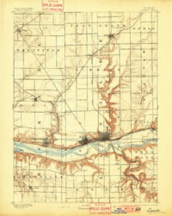
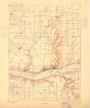
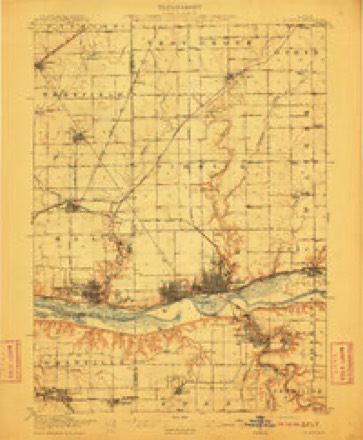
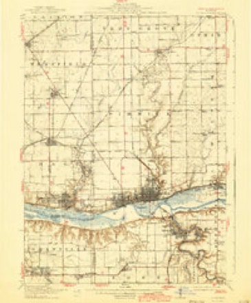
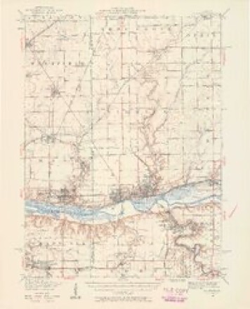
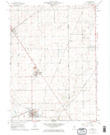
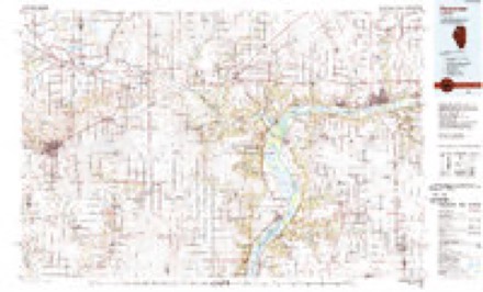
9 surveys from 19 printed sheetsMatched by testing this settlement's coordinate against the published boundary of every sheet in the United States Geological Survey's historical collection. Each opens the scanned sheet at the Survey.
- 1893 USGS La Salle quadrangle1:62500, 2 printings
- 1893 USGS Lasalle quadrangle1:62500, 2 printings
- 1911 USGS La Salle quadrangle1:62500
- 1913 USGS La Salle quadrangle1:62500, 4 printings
- 1947 USGS La Salle quadrangle1:62500, 2 printings
- 1958 USGS Aurora quadrangle1:250000, 3 printings
- 1961 USGS Aurora quadrangle1:250000
- 1966 USGS Ladd quadrangle1:24000, 2 printings
- 1985 USGS Kewanee quadrangle1:100000, 2 printings


Storms near this place
13 since 2005Regional context, not property-specific evidence. The National Weather Service names Cherry in 13 storm reports between 2005 and 2026: 5 hail, 5 thunderstorm wind, 2 tornado, 1 flash flood. No death or injury is recorded in these reports. Each account below is quoted exactly as the forecast office filed it, from the NOAA Storm Events Database, and each date opens the federal record of that event.
| When | Event | Place named | Harm | What the report says |
|---|---|---|---|---|
| May 2011 | Flash Flood | Cherry | $30,000 | Heavy rains of 4 to 5 inches caused some flash flooding along a creek running through Cherry, IL during the evening of May 25. The flood waters were over 3 feet deep in a resident's back yard and about 2 feet deep in the homeowner's finished basement. |
| May 2008 | Thunderstorm Wind | Cherry | $30,000 | Winds estimated to be 65 mph knocked down tree limbs, damaged about half of the shingles on a house, and dented and lifted a 50,000-bushel grain bin at the Joyce Gillan farm just south of Cherry, IL around 1:40 am on May 26th. |
| July 2005 | Hail | Cherry | $1,500 | Dents in some cars. |
| April 2026 | Tornado (EF1) | Cherry | - | The EF1 tornado with winds up to 95 mph appeared to start just south of County Road 2200 N in Bureau County, where a barn structure sustained roofing damage. The tornado then moved northeastward into LaSalle County, producing damage to trees and farm outbuildings. Several wooden power poles were damaged just southeast of Mendota before a semi truck was blown over on I-39 as the tornado continued northeastward. The tornado then passed near Meriden, causing additional damage to trees and farm outbuildings before dissipating in an open field northwest of Earlville. |
| July 2023 | Thunderstorm Wind | Cherry | - | Trees and large branches blown down by thunderstorm winds. |
| February 2017 | Tornado (EF1) | Cherry | - | National Weather Service storm survey team reported damage along a path, mainly to trees. A farm shed was also completely destroyed along the path. The estimated peak winds were 70 mph. |
| May 2015 | Thunderstorm Wind | Cherry | - | A strong downburst damaged a barn, some trees, and the porch of a house. |
| May 2011 | Thunderstorm Wind | Cherry | - | Wind gusts estimated to be 60 to 70 mph were observed 2 miles south of Arlington, IL around 834 pm CDT May 22. |
| September 2011 | Hail | Cherry | - | Non-severe dime sized hail fell about 5 miles north northeast of Ladd, IL between 2pm and 204 pm CDT September 3. |
| June 2010 | Thunderstorm Wind | Cherry | - | Wind gusts estimated to be 85 mph were observed 5 miles north northeast of Ladd, IL around 546 pm June 23. |
| April 2023 | Hail | Cherry | - | no account filed |
| April 2023 | Hail | Cherry | - | no account filed |
| July 2017 | Hail | Cherry | - | no account filed |
Nearest settlements
The eight closest, with where each one stands in the county. Distances are straight-line, computed from the Geographic Names Information System coordinates.
Elsewhere
Matched on this settlement's Geographic Names Information System number rather than its name, so it cannot be a different place of the same name in another state.
| Wikipedia article on Cherry | An encyclopaedic summary. Its text is share-alike, so it is linked here rather than copied. |
| Wikidata item Q980460 | The structured record the population and elevation above come from. Public domain (CC0). |
Provenance
This settlement is recorded in the Geographic Names Information System as feature 406012. The sheet list is computed by point-in-boundary test against the United States Geological Survey's historical topographic inventory. Both are works of the United States government and carry no copyright under 17 U.S.C. 105.
Storms. NOAA National Centers for Environmental Information, Storm Events Database https://www.ncei.noaa.gov/stormevents/ A work of the United States government, no copyright under 17 U.S.C. 105. Narratives are quoted verbatim from the National Weather Service report and are not edited or summarised.