 Block
Ladd, Illinois
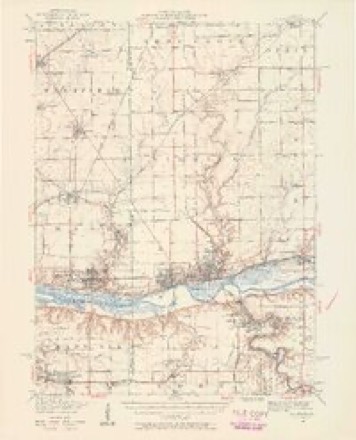
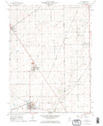
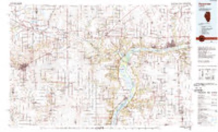
19 topographic sheets cover this place, the earliest surveyed in 1893 and the latest in 1985. It stands in Hall Township. It lies in ZIP code area 61329. The Survey maps it on the Ladd quadrangle. 1,263 people lived here at the 2020 count.
Population over time
2 figuresLadd fell from 1,295 to 1,263 between 2010 and 2020. These are the recorded population figures Wikidata holds for this place, reached through the Geographic Names Information System number this page is keyed on rather than by name, so they belong to this place and not to another of the same name. Most are census counts, but not all are: an early figure may be a founding or settlement estimate, and an estimate published within five years of a census is left out. The change column is computed, and is left blank where more than 20 years separate a figure from the one before it, because a gap that long is not a change between two counts.
| Year | People | Change |
|---|---|---|
| 2010 | 1,295 | |
| 2020 | 1,263 | -32 (-2%) |
Topographic sheets covering this place
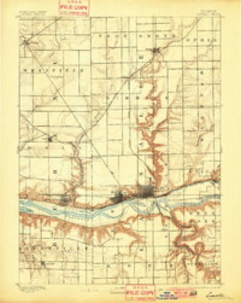
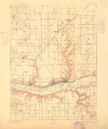
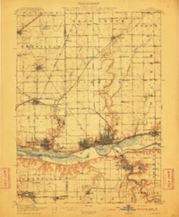
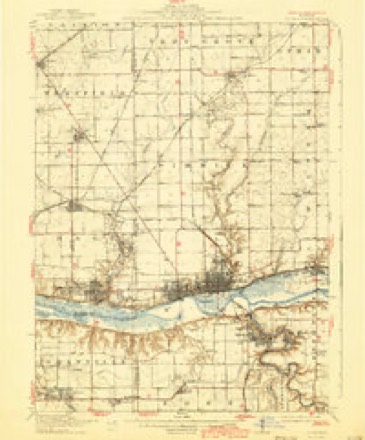
9 surveys from 19 printed sheetsMatched by testing this settlement's coordinate against the published boundary of every sheet in the United States Geological Survey's historical collection. Each opens the scanned sheet at the Survey.
- 1893 USGS La Salle quadrangle1:62500, 2 printings
- 1893 USGS Lasalle quadrangle1:62500, 2 printings
- 1911 USGS La Salle quadrangle1:62500
- 1913 USGS La Salle quadrangle1:62500, 4 printings
- 1947 USGS La Salle quadrangle1:62500, 2 printings
- 1958 USGS Aurora quadrangle1:250000, 3 printings
- 1961 USGS Aurora quadrangle1:250000
- 1966 USGS Ladd quadrangle1:24000, 2 printings
- 1985 USGS Kewanee quadrangle1:100000, 2 printings


In the county-history sources
1,560 words on this townshipPast and Present of Bureau County, Illinois, published 1906 names this settlement in its chapter on Hall Township. These are the passages that mention it, exactly as the scans read.
The township of Hall in 1880 had a population of 1058. Twenty years later, in 1900, it had a population of 9844. and it has greatly increased since then. Its principal industry is mining. \Mthin the boundaries of Hall township may be found the city of Spring Yalle}', corporations of Ladd. Marquette, Dalzell, Seatonville and Cherry. All of these towns are given over to coal mining. \'ast shipments of coal are sent to different parts of the country. The facilities for shipping are very superior, as it has several lines of railroad Ijcsides having a frontage on the Illinois river. The population embraces nearly every^ nationality on the globe. Southern Europe is largely represented. The first settler was Eeason Hall, who located on section 34 in 1828. In 1833 Henry J. Miller built on section 33 and William Miller on section 36. The same year Edward Hall settled on section 39 and William Swan on section 19. J. Whitehead. Eobert Scott, A. Wixani, Alexander Holbrook and Martin Tompkins were among the early arrivals. Daniel Webster early owned a tract of land in Hall township, which was afterward owned by his son. Calvin Combs, Samuel J. Williams and Moses Tichner came previous to 1840. One of the iinest geological collections in the state is that of James Murray, who was born in Scotland in 1820 but has lived in Hall for many years. This collection has been gathered with great care and has attracted the attention of the geologists from all parts of the country. The population in 1900 was, including Spring Valley, Ladd and Seatonville, 9844, of which Spring Valley had, in the first ward, 704; second ward, 968; third ward, 639; fourth ward, 2474, and fifth ward, 1439; total in Spring Valley, 6214; Ladd, 1324; Seatonville, 909. The supervisors have been as follows :
Passage source: Past and Present of Bureau County, Illinois, published 1906.
Machine-read from a century-old scan, so expect the errors a machine makes: misspelled names, dropped words, stray characters.
Fires near this place
9 since 2014Regional context, not property-specific evidence. The federal wildfire occurrence database lists 9 fires within 5 miles of Ladd between 2014 and 2015, burning about 227 acres in total. None started naturally. None was recorded as arson. Distance is straight-line from the map coordinates, so a fire counted here may appear on a neighbouring settlement's page as well.
| Reported cause | Fires |
|---|---|
| Missing data/not specified/undetermined | 6 |
| Debris and open burning | 3 |
The most recent of them, most recent first, with the day each was reported and the service that recorded it.
| Date | Cause | Size | Reported by | Name on the report |
|---|---|---|---|---|
| 10 July 2014 | Debris and open burning | 1.0 acres | Illinois Division of Forestry Resources | 14-0000049 |
| 17 June 2015 | Missing data/not specified/undetermined | 3.0 acres | Illinois Division of Forestry Resources | 15-0000065 |
| 3 May 2015 | Missing data/not specified/undetermined | 2.0 acres | Illinois Division of Forestry Resources | 15-0000051 |
| 5 April 2015 | Debris and open burning | 2.0 acres | Illinois Division of Forestry Resources | 15-0000044 |
| 1 April 2015 | Missing data/not specified/undetermined | 5.0 acres | Illinois Division of Forestry Resources | 15-0000035 |
| 31 March 2015 | Missing data/not specified/undetermined | 10 acres | Illinois Division of Forestry Resources | 15-0000034 |
| 31 March 2014 | Debris and open burning | 200 acres | Illinois Division of Forestry Resources | 14-0000020 |
| 30 March 2015 | Missing data/not specified/undetermined | 2.0 acres | Illinois Division of Forestry Resources | 15-0000032 |
Settlements close enough to share some of these fires:
Mines and quarries near this place
6 within 5 milesRegional context, not property-specific evidence. The federal mineral resources record lists 6 workings within 5 miles of Ladd: 5 past producers, 1 producer. 1 still produces. What was taken out: Sand and Gravel, Construction. Distance is straight-line from the map coordinates, so a quarry counted here may appear on a neighbouring settlement's page as well.
| Where | Site | Commodity | Status | Recorded |
|---|---|---|---|---|
| Bonucci Gravel Pit | Sand and Gravel, Construction | Past Producer | ||
| Depue White City Pit | Sand and Gravel, Construction | Past Producer | ||
| Dieci Pit | Sand and Gravel, Construction | Past Producer | ||
| Seaton Pit | Sand and Gravel, Construction | Producer | ||
| Sitterly Pit | Sand and Gravel, Construction | Past Producer | ||
| Yucus Gravel Pit | Sand and Gravel, Construction | Past Producer |
Storms near this place
10 since 2008Regional context, not property-specific evidence. The National Weather Service names Ladd in 10 storm reports between 2008 and 2025: 5 hail, 3 thunderstorm wind, 1 tornado, 1 flash flood. No death or injury is recorded in these reports. Each account below is quoted exactly as the forecast office filed it, from the NOAA Storm Events Database, and each date opens the federal record of that event.
| When | Event | Place named | Harm | What the report says |
|---|---|---|---|---|
| June 2011 | Thunderstorm Wind | Ladd | $25,000 | Wind gusts estimated to be 70 mph blew down several power poles along the east bound lanes of Interstate 80 between mile marker 70 and 71 near Ladd, IL at 653 pm CDT June 21. A shed was also blown onto the shoulder of the interstate. |
| July 2025 | Flash Flood | Ladd | - | A trained spotter reported flash flooding in low-lying areas and alley ways within the town of Ladd. The spotter measured 2.5 inches of rainfall since 630 PM this evening. |
| March 2023 | Hail | Ladd | - | This report was relayed by broadcast media. |
| March 2017 | Tornado (EF0) | Ladd | - | A tornado briefly touched down in a field. |
| June 2017 | Thunderstorm Wind | Ladd | - | Multiple trees were reported down in Ladd. The time was estimated from radar data. |
| October 2010 | Thunderstorm Wind | Ladd | - | Law enforcement reported a power pole down near Ladd. |
| June 2008 | Hail | Ladd | - | Golf ball-sized hail fell just south of Ladd, IL near mile marker 70 on Interstate 80 (Spring Valley Exit) at 2:43 pm June 15. |
| June 2008 | Hail | Ladd | - | Two rounds of penny-sized hail fell in Ladd, IL between 2:23 pm and 2:33 pm June 15. |
| March 2023 | Hail | Ladd | - | no account filed |
| March 2016 | Hail | Ladd | - | no account filed |
Nearest settlements
The eight closest, with where each one stands in the county. Distances are straight-line, computed from the Geographic Names Information System coordinates.
| Map | Place | Distance | Sheets |
|---|---|---|---|
| Hegeler | 2.1 miles | 19 | |
| Churchill | 2.5 miles | 19 | |
| Dalzell | 2.8 miles | 19 | |
| Cherry | 3.1 miles | 19 | |
| Ottville | 3.2 miles | 13 | |
| Seatonville | 3.3 miles | 13 | |
| Hicks Corners | 3.8 miles | 19 | |
| Spring Valley | 3.9 miles | 19 |
Elsewhere
Matched on this settlement's Geographic Names Information System number rather than its name, so it cannot be a different place of the same name in another state.
| Wikipedia article on Ladd | An encyclopaedic summary. Its text is share-alike, so it is linked here rather than copied. |
| Wikidata item Q2348362 | The structured record the population and elevation above come from. Public domain (CC0). |
Provenance
This settlement is recorded in the Geographic Names Information System as feature 411678. The sheet list is computed by point-in-boundary test against the United States Geological Survey's historical topographic inventory. Both are works of the United States government and carry no copyright under 17 U.S.C. 105.
Wildfire. Short, Karen C. 2022. Spatial wildfire occurrence data for the United States, 1992-2020 [FPA_FOD_20221014]. 6th Edition. Fort Collins, CO: Forest Service Research Data Archive. https://doi.org/10.2737/RDS-2013-0009.6 Collected with United States Government funding and usable without additional permissions or fees.
Mines and quarries. USGS Mineral Resources Data System (MRDS) https://mrdata.usgs.gov/mrds/ A work of the United States government, no copyright under 17 U.S.C. 105.
Storms. NOAA National Centers for Environmental Information, Storm Events Database https://www.ncei.noaa.gov/stormevents/ A work of the United States government, no copyright under 17 U.S.C. 105. Narratives are quoted verbatim from the National Weather Service report and are not edited or summarised.