 Block
Chili, Illinois
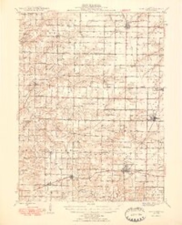
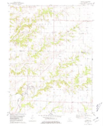
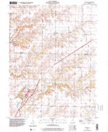
14 topographic sheets cover this place, the earliest surveyed in 1948 and the latest in 1998. It stands in Chili Township. It lies in ZIP code area 62380. The Survey maps it on the Loraine quadrangle. It stands 682 feet above sea level.
Topographic sheets covering this place
8 surveys from 14 printed sheetsMatched by testing this settlement's coordinate against the published boundary of every sheet in the United States Geological Survey's historical collection. Each opens the scanned sheet at the Survey.
- 1948 USGS Camp Point quadrangle1:62500, 2 printings
- 1958 USGS Burlington quadrangle1:250000, 4 printings
- 1961 USGS Burlington quadrangle1:250000
- 1963 USGS Burlington quadrangle1:250000
- 1981 USGS Loraine quadrangle1:24000
- 1986 USGS Keokuk quadrangle1:100000, 2 printings
- 1990 USGS Burlington quadrangle1:250000, 2 printings
- 1998 USGS Loraine quadrangle1:24000




In the county-history sources
7,635 words on this townshipHistory of Hancock County, Illinois, Together with an Outline History of the State, and a Digest of State Laws, published 1880 names this settlement in its chapter on Chili Township. These are the passages that mention it, exactly as the scans read.
Township 3-6 received its much-mispronoiinced name from the little viIlao;e of Chili, near its southwest corner. This village was laid out bj Elisha Worrell, Esq., one of its early and much respected pioneers, in the year 1S36. The township is composed mainly of prairie land, though the head waters of Bear and Panther creeks supply it with some small bodies of wood land. Considerable of it is rather flat prairie, while other portions are rolling and well drained. It contains much valuable farm land, and a large proportion of well-improved and productive farms. This township is settled by an intelligent and enterprising class of emigrants from many of the States of the Union.
Passage source: History of Hancock County, Illinois, Together with an Outline History of the State, and a Digest of State Laws, published 1880.
Its only villages are Chili, before mentioned, and Bowen, of later origin, built on the line of the Toledo, Wabash & Western Railroad. These towns are both in tlie midst of thriving communities. The former has grown but little and begins to show age, and probably contains no greater population than it did twenty years ago. Bowen was laid out in 1863 by Mr. Peter C. Bowen, from whom it derives its name. It is six miles due west from Augusta, and about fourteen southeast from the county seat.
Passage source: History of Hancock County, Illinois, Together with an Outline History of the State, and a Digest of State Laws, published 1880.
The postoffice was established in Chili when Amos Kendall was Postmaster-General, Moses Stevens, postmabter, and Elisha Worrell assistant, and performing the duties. After him came George N. Crowley, then Alfred T. Dickinson for a year or so, then Mr. Crowley again for several years, then J. Clarkson Caine for a year or two, then Mr. Crowley again, who still holds the office, having held it for from thirty to thirty-five years - one of the oldest postmasters in the county.
Passage source: History of Hancock County, Illinois, Together with an Outline History of the State, and a Digest of State Laws, published 1880.
Machine-read from a century-old scan, so expect the errors a machine makes: misspelled names, dropped words, stray characters.
Read the whole chapter on Chili Township - it names this place 23 more 23 times.
Nearest settlements
The eight closest, with where each one stands in the county. Distances are straight-line, computed from the Geographic Names Information System coordinates.
| Map | Place | Distance | Sheets |
|---|---|---|---|
| Stillwell | 2.2 miles | 14 | |
| West Point | 3.4 miles | 14 | |
| Bowen | 4.3 miles | 13 | |
| Denver | 5.3 miles | 14 | |
| Breckenridge | 7.9 miles | 14 | |
| Basco | 8.2 miles | 14 | |
| Bentley | 8.9 miles | 14 | |
| Augusta | 10.2 miles | 15 |
Elsewhere
Matched on this settlement's Geographic Names Information System number rather than its name, so it cannot be a different place of the same name in another state.
| Wikipedia article on Chili | An encyclopaedic summary. Its text is share-alike, so it is linked here rather than copied. |
| Wikidata item Q5098924 | The structured record the population and elevation above come from. Public domain (CC0). |
Provenance
This settlement is recorded in the Geographic Names Information System as feature 406063. The sheet list is computed by point-in-boundary test against the United States Geological Survey's historical topographic inventory. Both are works of the United States government and carry no copyright under 17 U.S.C. 105.