 Block
Breckenridge, Illinois
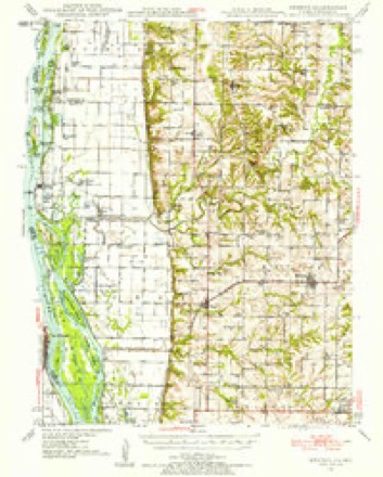
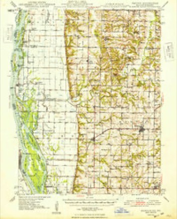
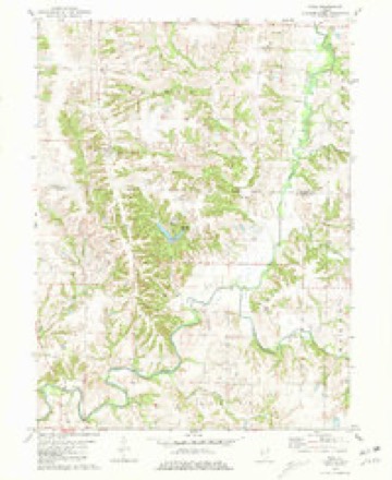
14 topographic sheets cover this place, the earliest surveyed in 1946 and the latest in 1990. It stands in Walker Township. It lies in ZIP code area 62373. The Survey maps it on the Tioga quadrangle. It stands 659 feet above sea level.
Topographic sheets covering this place
8 surveys from 14 printed sheetsMatched by testing this settlement's coordinate against the published boundary of every sheet in the United States Geological Survey's historical collection. Each opens the scanned sheet at the Survey.
- 1946 USGS Mendon quadrangle1:62500
- 1948 USGS Mendon quadrangle1:62500, 2 printings
- 1958 USGS Burlington quadrangle1:250000, 4 printings
- 1961 USGS Burlington quadrangle1:250000
- 1963 USGS Burlington quadrangle1:250000
- 1981 USGS Tioga quadrangle1:24000
- 1986 USGS Keokuk quadrangle1:100000, 2 printings
- 1990 USGS Burlington quadrangle1:250000, 2 printings




In the county-history sources
9,970 words on this townshipHistory of Hancock County, Illinois, Together with an Outline History of the State, and a Digest of State Laws, published 1880 names this settlement in its chapter on Walker Township. These are the passages that mention it, exactly as the scans read.
J. W. Rankin was born in this tp. March 26, 1S49, and is a son of J. S. Rankin (dec), au early settler of Adams count3% 111., and who came to this county in 1847. He was a farmer and resided on sec. 23, Walker tp., where Mr. J. W. bow resides. The latter was raised a farmer's boy and educated in the common schools. He was married March 29, 1871, to Miss Elizabeth Symmonds, daughter of Dr. S. L. Symmonds, of Breckenridge. This union .has been blessed with 2 children, Sanford and Sarah E.
Passage source: History of Hancock County, Illinois, Together with an Outline History of the State, and a Digest of State Laws, published 1880.
Machine-read from a century-old scan, so expect the errors a machine makes: misspelled names, dropped words, stray characters.
Nearest settlements
The eight closest, with where each one stands in the county. Distances are straight-line, computed from the Geographic Names Information System coordinates.
| Map | Place | Distance | Sheets |
|---|---|---|---|
| Sutter | 3.9 miles | 16 | |
| Tioga | 3.9 miles | 14 | |
| West Point | 5.6 miles | 14 | |
| Stillwell | 5.8 miles | 14 | |
| Elderville | 6.0 miles | 16 | |
| Mallard | 7.0 miles | 17 | |
| Basco | 7.4 miles | 14 | |
| Chili | 7.9 miles | 14 |
Elsewhere
Matched on this settlement's Geographic Names Information System number rather than its name, so it cannot be a different place of the same name in another state.
| Wikipedia article on Breckenridge | An encyclopaedic summary. Its text is share-alike, so it is linked here rather than copied. |
| Wikidata item Q4960029 | The structured record the population and elevation above come from. Public domain (CC0). |
Provenance
This settlement is recorded in the Geographic Names Information System as feature 422498. The sheet list is computed by point-in-boundary test against the United States Geological Survey's historical topographic inventory. Both are works of the United States government and carry no copyright under 17 U.S.C. 105.