 Block
Coleta, Illinois
11 topographic sheets cover this place, the earliest surveyed in 1934 and the latest in 1985. It stands in Genesee Township. It lies in ZIP code area 61081. The Survey maps it on the Milledgeville quadrangle. 167 people lived here at the 2020 count.
Population over time
2 figuresColeta grew from 164 to 167 between 2010 and 2020. These are the recorded population figures Wikidata holds for this place, reached through the Geographic Names Information System number this page is keyed on rather than by name, so they belong to this place and not to another of the same name. Most are census counts, but not all are: an early figure may be a founding or settlement estimate, and an estimate published within five years of a census is left out. The change column is computed, and is left blank where more than 20 years separate a figure from the one before it, because a gap that long is not a change between two counts.
| Year | People | Change |
|---|---|---|
| 2010 | 164 | |
| 2020 | 167 | +3 (+2%) |
Topographic sheets covering this place
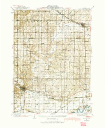
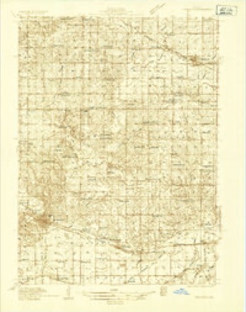
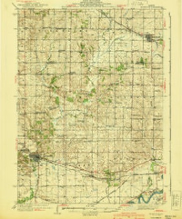
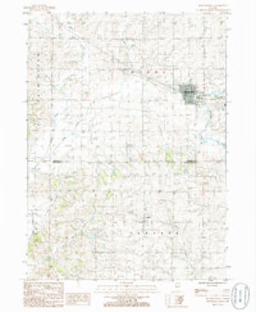
7 surveys from 11 printed sheetsMatched by testing this settlement's coordinate against the published boundary of every sheet in the United States Geological Survey's historical collection. Each opens the scanned sheet at the Survey.
- 1934 USGS Morrison quadrangle1:62500
- 1934 USGS Morrison quadrangle1:48000
- 1940 USGS Morrison quadrangle1:62500, 2 printings
- 1958 USGS Aurora quadrangle1:250000, 3 printings
- 1961 USGS Aurora quadrangle1:250000
- 1985 USGS Dixon quadrangle1:100000, 2 printings
- 1985 USGS Milledgeville quadrangle1:24000



What happened here
An account from the chapter on Genesee township. The inset identifies its exact source book and publication year.
Murder In Gexesee
John Miller killed August Langberg on Aug. 3, 1884, with an ax, splitting his head open. Both were farm laborers, and the tragedy was on a farm where one of them was working. The quarrel was about a jug of liquor. Miller was indicted at December term of court, 1884, plead guilty, and was sentenced to penitentiary for life.
In the county-history sources
4,088 words on this townshipPortrait and Biographical Album of Whiteside County, Illinois : Containing Full-page Portraits and Biographies of All the Governors of Illinois, and of the Presidents of the United States, published 1885 names this settlement in its chapter on Genesee Township. These are the passages that mention it, exactly as the scans read.
Samuel Landis came from Virginia, and located on section 7, in the spring of 1836. He was a cabinet-maker by trade, and worked at it occasionally in connection with his farming. In having a tumor removed from his body, chloroform was administered, and it was successfully removed, but he never recovered, and died soon after.
Passage source: Portrait and Biographical Album of Whiteside County, Illinois : Containing Full-page Portraits and Biographies of All the Governors of Illinois, and of the Presidents of the United States, published 1885.
Some trouble was occasioned by claim-jumpers, but nothing serious occurred. Some public whippings were administered to those who violated the claim law, but no blood was shed by claimants or those who had jumped claims.
Passage source: Portrait and Biographical Album of Whiteside County, Illinois : Containing Full-page Portraits and Biographies of All the Governors of Illinois, and of the Presidents of the United States, published 1885.
The Superintendent of Public Schools, in his annual report for the year ending June 30, 1884, gave for the township ten school districts, with nine frame school-houses, valued at $11,150. There were 710 persons under 21, of which number 508 were above the age of six years, and 429 of these were enrolled in the public schools. The highest wages paid teachers were $75 and the lowest $25 per month. The tax levy for school purposes for the year was
Passage source: Portrait and Biographical Album of Whiteside County, Illinois : Containing Full-page Portraits and Biographies of All the Governors of Illinois, and of the Presidents of the United States, published 1885.
Machine-read from a century-old scan, so expect the errors a machine makes: misspelled names, dropped words, stray characters.
Read the whole chapter on Genesee Township - it names this place 9 more 9 times.
Mines and quarries near this place
1 within 5 milesRegional context, not property-specific evidence. The federal mineral resources record lists 1 working within 5 miles of Coleta: 1 past producer. None of them still produces. What was taken out: Stone, Crushed/Broken. Distance is straight-line from the map coordinates, so a quarry counted here may appear on a neighbouring settlement's page as well.
| Where | Site | Commodity | Status | Recorded |
|---|---|---|---|---|
| Kehobe Materials, Inc. Quarry | Stone, Crushed/Broken | Past Producer |
Storms near this place
21 since 1994Regional context, not property-specific evidence. The National Weather Service names Coleta in 21 storm reports between 1994 and 2024: 10 hail, 8 thunderstorm wind, 2 tornado, 1 flash flood. The reports record 1 injury. Each account below is quoted exactly as the forecast office filed it, from the NOAA Storm Events Database, and each date opens the federal record of that event.
| When | Event | Place named | Harm | What the report says |
|---|---|---|---|---|
| September 2005 | Thunderstorm Wind | Coleta | 1 hurt | A tree was blown onto a moving vehicle, injuring the driver. |
| July 2003 | Thunderstorm Wind | Coleta | $100,000 | Radio tower at Fire Station downed |
| March 2006 | Hail | Coleta | $3,000 | no account filed |
| July 2024 | Thunderstorm Wind | Coleta | - | A storm chaser reported tree limbs damage. |
| November 2020 | Thunderstorm Wind | Coleta | - | Report along Capp Road. Cattle shed with a roof blown off, shingles were blown off of a house, along with a healthy tree snapped. Time of the event was estimated using radar. |
| February 2017 | Hail | Coleta | - | A spotter reported hail up to the size of quarters. |
| February 2017 | Tornado (EF1) | Coleta | - | National Weather Service storm survey showed damage consisting of snapped pine trees, damaged farm out buildings, and an un-roofed attached garage and home along the path. A second home also sustained damage to its roof. The estimated peak wind was 100 mph. |
| June 2015 | Thunderstorm Wind | Coleta | - | Spotter also reported nickel size hail. |
| June 2015 | Flash Flood | Coleta | - | Water was reported over several roads near Hickory Hills and Covell road. |
| June 2014 | Thunderstorm Wind | Coleta | - | A trained spotter reported 6 tree limbs down that were 4 to 5 inches in diameter. |
| August 2011 | Hail | Coleta | - | The spotter reported dime sized hail with some slightly larger stones also falling. |
| April 2008 | Hail | Coleta | - | A trained spotter observed nickel size hail near Coleta. |
| June 2008 | Thunderstorm Wind | Coleta | - | At 10:47 am June 8, a wind gust was measured at 68 mph about 3 miles southeast of Coleta, IL. |
| July 2008 | Hail | Coleta | - | Nickel-sized hail fell 3 miles southeast of Coleta, IL at 839 pm July 10. |
| July 1997 | Hail | Coleta | - | Hail near route 78. |
| June 1995 | Hail | Coleta | - | A small band of severe thunderstorms moved southeast out of Minnesota and Wisconsin into northwest Illinois during the late afternoon and early evening hours. Numerous tree limbs were blown down in Sterling. Nickel size hail was reported but little if any hail damage reported. |
| June 1995 | Hail | Coleta | - | A small band of severe thunderstorms moved southeast out of Minnesota and Wisconsin into northwest Illinois during the late afternoon and early evening hours. Numerous tree limbs were blown down in Sterling. Nickel size hail was reported but little if any hail damage reported. |
| April 1994 | Hail | Coleta | - | Up to one-inch size hail was reported between Coleta, Illinois and Milledegville, Illinois right at 2000 CST. No crop damage was reported. |
| July 1996 | Tornado (F0) | Coleta | - | no account filed |
| July 1996 | Hail | Coleta | - | no account filed |
| June 1996 | Thunderstorm Wind | Coleta | - | no account filed |
Nearest settlements
The eight closest, with where each one stands in the county. Distances are straight-line, computed from the Geographic Names Information System coordinates.
| Map | Place | Distance | Sheets |
|---|---|---|---|
| White Pigeon | 4.8 miles | 11 | |
| Malvern | 5.5 miles | 11 | |
| Franklin Corners | 5.8 miles | 11 | |
| Jordan Center | 6.2 miles | 11 | |
| Emerson | 6.9 miles | 11 | |
| Penrose | 7.2 miles | 11 | |
| Grimes Addition | 7.7 miles | 12 | |
| Agnew | 8.0 miles | 11 |
Elsewhere
Matched on this settlement's Geographic Names Information System number rather than its name, so it cannot be a different place of the same name in another state.
| Wikipedia article on Coleta | An encyclopaedic summary. Its text is share-alike, so it is linked here rather than copied. |
| Wikidata item Q963345 | The structured record the population and elevation above come from. Public domain (CC0). |
Provenance
This settlement is recorded in the Geographic Names Information System as feature 406361. The sheet list is computed by point-in-boundary test against the United States Geological Survey's historical topographic inventory. Both are works of the United States government and carry no copyright under 17 U.S.C. 105.
Mines and quarries. USGS Mineral Resources Data System (MRDS) https://mrdata.usgs.gov/mrds/ A work of the United States government, no copyright under 17 U.S.C. 105.
Storms. NOAA National Centers for Environmental Information, Storm Events Database https://www.ncei.noaa.gov/stormevents/ A work of the United States government, no copyright under 17 U.S.C. 105. Narratives are quoted verbatim from the National Weather Service report and are not edited or summarised.