 Block
Penrose, Illinois
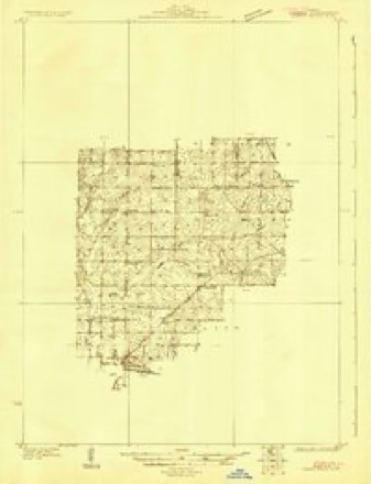
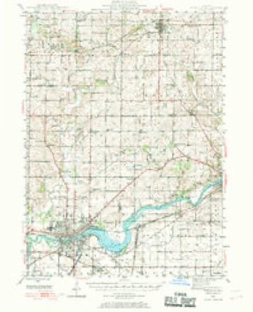
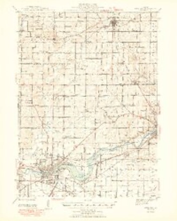
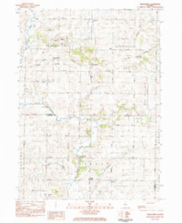
11 topographic sheets cover this place, the earliest surveyed in 1930 and the latest in 1985. It stands in Jordan Township. It lies in ZIP code area 61081. The Survey maps it on the Hazelhurst quadrangle.
Topographic sheets covering this place
7 surveys from 11 printed sheetsMatched by testing this settlement's coordinate against the published boundary of every sheet in the United States Geological Survey's historical collection. Each opens the scanned sheet at the Survey.
- 1930 USGS Woodsung quadrangle1:48000
- 1946 USGS Sterling quadrangle1:62500
- 1948 USGS Sterling quadrangle1:62500, 2 printings
- 1958 USGS Aurora quadrangle1:250000, 3 printings
- 1961 USGS Aurora quadrangle1:250000
- 1983 USGS Hazelhurst quadrangle1:24000
- 1985 USGS Dixon quadrangle1:100000, 2 printings



What happened here
An account from the chapter on Jordan township. The inset identifies its exact source book and publication year.
The Kauffman Murder
A mile south of the Jordan Lutheran church a mysterious murder occurred on the night of May 31, 1897. After a careful examination of all the circumstances connected with the affair, Walter Stager, states attorney, made an official report to the board of supervisors, filling six columns of the Sterling Standard, from which we glean the following outline:
In the county-history sources
12,456 words on this townshipPortrait and Biographical Album of Whiteside County, Illinois : Containing Full-page Portraits and Biographies of All the Governors of Illinois, and of the Presidents of the United States, published 1885 names this settlement in its chapter on Jordan Township. These are the passages that mention it, exactly as the scans read.
H. L. John opened a general store at what was called John's Corners, near the center of the township, June 23, 1874. He still continues the business and has enjoyed a good trade. On the 241)1 of March, 1881, a postoffice was established at the Corners, with H. L. John as Postmaster. The office is called Penrose, in honor of one of the pioneers of the county. A wagon and blacksmith shop was started here about 1860, by John G. Detweiler, who subsequently sold it to Elida John, who rented it till Oct. 12, 1882, when it was sold to John GroflT, who still carries on the business. The place is now known as Penrose.
Passage source: Portrait and Biographical Album of Whiteside County, Illinois : Containing Full-page Portraits and Biographies of All the Governors of Illinois, and of the Presidents of the United States, published 1885.
A weekly indulged meeting of Friends for worship was held at the residence of Joseph M. Wilson, for a number of years prior to the regular establishment of a Friends' meeting in Whiteside County. The first regularly established or organized meeting of Frionds in the county, was held on the 151)1 day of the 6th month, 1872, at what is now Penrose, and was known as East Jordan Preparative Meeting of Friends. The first established First-Day meeting for worship was held on the following day. The first Monthly Meeting of Friends held in the county was on the igth day of the 4th month, 1873. The first Clerks of the Monthly Meeting were Edwin John and Sarah E. HufF. The first Elders were Elida John, Mark Penrose, Sarah H. John, Frances P. Wilson and Lydia K. Penrose. The ministers, whose names are on record as such, in the Monthly Meeting, are Jonathan W. Plummer and Reuben.
Passage source: Portrait and Biographical Album of Whiteside County, Illinois : Containing Full-page Portraits and Biographies of All the Governors of Illinois, and of the Presidents of the United States, published 1885.
have had an existence in the township. Jordan postoffice was established during the administration of James Buchanan, and continued about four years. Mr. Alexander was Postmaster An office was established at Jordan Center in 1881, under the name of Penroi?e.
Passage source: Portrait and Biographical Album of Whiteside County, Illinois : Containing Full-page Portraits and Biographies of All the Governors of Illinois, and of the Presidents of the United States, published 1885.
Machine-read from a century-old scan, so expect the errors a machine makes: misspelled names, dropped words, stray characters.
Read the whole chapter on Jordan Township - it names this place 2 more 2 times.
Mines and quarries near this place
5 within 5 milesRegional context, not property-specific evidence. The federal mineral resources record lists 5 workings within 5 miles of Penrose: 3 producers, 2 past producers. 3 still produce. What was taken out: Stone, Crushed/Broken. Distance is straight-line from the map coordinates, so a quarry counted here may appear on a neighbouring settlement's page as well.
| Where | Site | Commodity | Status | Recorded |
|---|---|---|---|---|
| Kehobe Materials, Inc. Quarry | Stone, Crushed/Broken | Past Producer | ||
| Nelson Quarry - Portable Unit #1 | Stone, Crushed/Broken | Producer | ||
| Palmyra Quarry | Stone, Crushed/Broken | Producer | ||
| Shank Quarry | Stone, Crushed/Broken | Past Producer | ||
| Sier Quarry | Stone, Crushed/Broken | Producer |
Storms near this place
7 since 2004Regional context, not property-specific evidence. The National Weather Service names Penrose in 7 storm reports between 2004 and 2026: 3 hail, 2 flash flood, 1 thunderstorm wind, 1 tornado. No death or injury is recorded in these reports. Each account below is quoted exactly as the forecast office filed it, from the NOAA Storm Events Database, and each date opens the federal record of that event.
| When | Event | Place named | Harm | What the report says |
|---|---|---|---|---|
| May 2010 | Flash Flood | Penrose | $50,000 | The southeast half of Whiteside County received 3 to 4 inches of rain during the early morning hours of May 13 which resulted in some flash flooding. Several residences in the Sterling and Rock Falls areas reported flooded basements. |
| April 2026 | Tornado (EF1) | Penrose | - | An EF-1 tornado began in far eastern Whiteside County just north of Fulfs Road and just west of the Whiteside-Lee county line, where satellite imagery showed the beginning of a narrow southwest-northeast path of disturbed soil through farm fields. Drone footage taken along Mound Hill Road in Lee County revealed swirl marks in the field to the west that aligned with the path that was evident in the satellite imagery, confirming that the tornado remained on the ground continuously as it tracked into Lee County. The tornado crossed Mound Hill Road, downing a number of power poles and impacting a property on the east side of the road. The tornado reached its peak intensity here, destroying multiple outbuildings and snapping several trees at this property. The tornado left additional swirl marks in a field to the northeast of the property before causing damage to trees, a residence, and a metal outbuilding along and just south of Lenox Road. As the tornado reached Timber Creek Road, it caused damage to a barn, at least one power pole, and several trees. On the north side of the road, the tornado pushed an old barn off of its foundation into a grain leg, causing the grain leg to collapse. A concrete silo was also toppled at the same location. The tornado then continued northeastward, causing tree and roof damage at a property along Peek Home Road, then damaging an outbuilding, a house, and more trees at a property at Penrose Road and Swarts Road. The tornado produced its last instance of damage at the Hey Tree Service facility along U.S. Route 52/State Route 26 southeast of Woosung before dissipating prior to reaching the Ogle County line. Straight-line wind damage was also observed to the south and east of the tornado's track. |
| August 2024 | Hail | Penrose | - | Golf ball size hail was reported near Penrose, Illinois. The time was estimated from radar data. |
| August 2022 | Hail | Penrose | - | A public report of pea to nickel size hail covering the ground. The time of the event was estimated using radar. |
| August 2021 | Thunderstorm Wind | Penrose | - | Reportof some damage to an outbuilding, some crop damage, leaning power poles and some damage to a trailer. The report was taken by a reporter from a newspaper. |
| June 2020 | Flash Flood | Penrose | - | Law Enforcement report that water was over Polo Road just south of Fulfs Road. The road was being closed. |
| May 2004 | Hail | Penrose | - | no account filed |
Nearest settlements
The eight closest, with where each one stands in the county. Distances are straight-line, computed from the Geographic Names Information System coordinates.
| Map | Place | Distance | Sheets |
|---|---|---|---|
| Jordan Center | 1.0 miles | 11 | |
| Sanfordville (historical) | 3.4 miles | 11 | |
| Woodland Hills | 6.2 miles | 12 | |
| Sterling | 7.0 miles | 12 | |
| Coleta | 7.2 miles | 11 | |
| Douglas Park | 7.4 miles | 12 | |
| Grimes Addition | 7.5 miles | 12 | |
| Rock Falls | 7.5 miles | 12 |
Provenance
This settlement is recorded in the Geographic Names Information System as feature 415533. The sheet list is computed by point-in-boundary test against the United States Geological Survey's historical topographic inventory. Both are works of the United States government and carry no copyright under 17 U.S.C. 105.
Mines and quarries. USGS Mineral Resources Data System (MRDS) https://mrdata.usgs.gov/mrds/ A work of the United States government, no copyright under 17 U.S.C. 105.
Storms. NOAA National Centers for Environmental Information, Storm Events Database https://www.ncei.noaa.gov/stormevents/ A work of the United States government, no copyright under 17 U.S.C. 105. Narratives are quoted verbatim from the National Weather Service report and are not edited or summarised.