 Block
Cooks Mills, Illinois
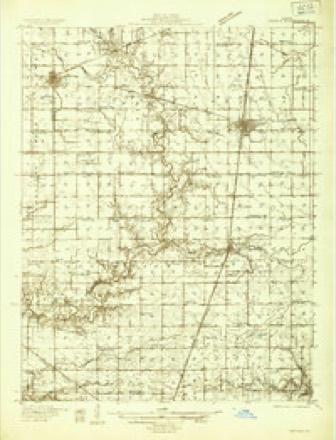
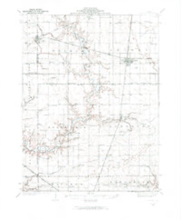
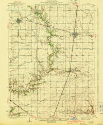
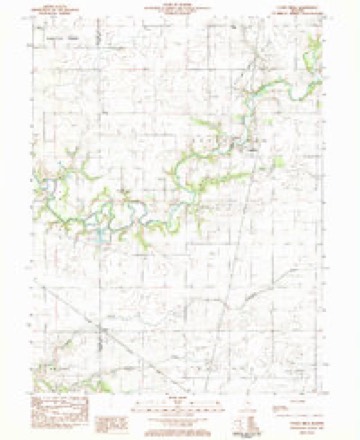
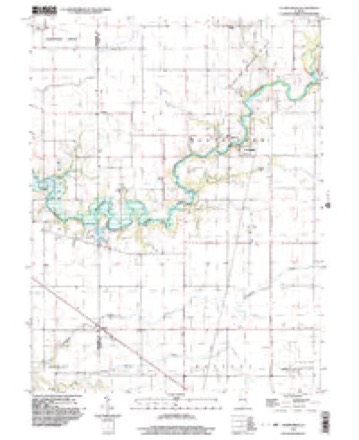
13 topographic sheets cover this place, the earliest surveyed in 1935 and the latest in 1998. It stands in North Okaw Township. It lies in ZIP code area 61931. The Survey maps it on the Cooks Mills quadrangle. It stands 656 feet above sea level.
Topographic sheets covering this place
8 surveys from 13 printed sheetsMatched by testing this settlement's coordinate against the published boundary of every sheet in the United States Geological Survey's historical collection. Each opens the scanned sheet at the Survey.
- 1935 USGS Arcola quadrangle1:48000
- 1935 USGS Arcola quadrangle1:62500, 2 printings
- 1940 USGS Arcola quadrangle1:62500
- 1958 USGS Decatur quadrangle1:250000, 3 printings
- 1961 USGS Decatur quadrangle1:250000, 2 printings
- 1983 USGS Cooks Mills quadrangle1:24000
- 1985 USGS Decatur quadrangle1:100000, 2 printings
- 1998 USGS Cooks Mills quadrangle1:24000



In the county-history sources
6,064 words on this townshipThe History of Coles County, Illinois ... Map of Coles County; History of Illinois ... History of Northwest ... Constitution of the United States, Miscellaneous Matters, &c., &c, published 1879 has no passage naming this settlement, which was common for smaller places. Its township is covered in full.
The chapter on North Okaw Township covers the township.
Read the chapter on North Okaw Township - 6,064 words.
Storms near this place
20 since 1994Regional context, not property-specific evidence. The National Weather Service names Cooks Mills in 20 storm reports between 1994 and 2025: 9 flash flood, 5 flood, 3 tornado, 2 thunderstorm wind. The reports record 1 death. Each account below is quoted exactly as the forecast office filed it, from the NOAA Storm Events Database, and each date opens the federal record of that event.
| When | Event | Place named | Harm | What the report says |
|---|---|---|---|---|
| June 2008 | Flood | Cooks Mills | 1 killed, $250,000 | Numerous roads were flooded due to heavy rain ranging from 5 to 7 inches across Coles County. Basements flooded in numerous homes throughout the county. On June 5th, a 72 year old male, drown while attempting to cross a bridge flooded by the Kaskaskia River, about 2 miles north of Cooks Mills. Coles County was declared a disaster area as a result of the extensive flooding. |
| April 1994 | Tornado (F1) | Cooks Mills | $5,000,000 | A tornado touched down three miles north of Cooks Mills and lifted five miles NE of Cooks Mills. Some farm equipment was damaged, as well as, four high voltage power lines. Damage is estimated between $620,000 and $700,000. |
| July 2008 | Thunderstorm Wind | Cooks Mills | $15,000 | A farm machine shed was blown down. |
| June 2013 | Tornado (EF0) | Cooks Mills | $4,000 | A tornado briefly touched down near Cooks Mills at 2:05 PM CDT. The tornado did minor damage to the siding and gutters of a home. It also damaged a garage door and knocked down several tree limbs before dissipating at 2:06 PM CDT. |
| March 2025 | Thunderstorm Wind | Cooks Mills | - | A power pole was blown down. |
| January 2020 | Flood | Cooks Mills | - | Weather observers measured 3 to 6 inches of rain across Coles County...including 4.72 in Mattoon and 5.85 in Charleston. Numerous creeks and streams flowed out of their banks, flooding low-lying spots across the county. |
| May 2017 | Flood | Cooks Mills | - | Heavy rainfall of 2.00 to 3.50 inches during the early morning hours of May 4th, on already saturated ground, resulted in flash flooding across most of Coles County. Officials reported that most roads were impassable and numerous creeks rapidly flooded. Several streets in Charleston and Mattoon were closed due to the flooding. Parts of Illinois Route 130 north of Charleston were also closed, as were nearly all rural roads between Oakland and Charleston. Additional rainfall around 1.00 inch later in the day May 4th into May 5th caused creeks and roads to stay flooded for nearly 48 hours. Flood waters subsided by the afternoon on May 6th. |
| May 2017 | Flash Flood | Cooks Mills | - | Heavy rainfall of 2.00 to 3.50 inches during the early morning hours of May 4th, on already saturated ground, resulted in flash flooding across most of Coles County. Officials reported that most roads were impassable and numerous creeks rapidly flooded. Several streets in Charleston and Mattoon were closed due to the flooding. Parts of Illinois Route 130 north of Charleston were also closed, as were nearly all rural roads between Oakland and Charleston. |
| May 2017 | Flood | Cooks Mills | - | Rain amounts of 3.00 to 5.00 inches in about a three hour period during the evening hours, on already saturated ground, resulted in flash flooding across most of Coles County. Several streets in Charleston were impassable. Numerous rural roads and highways in the southern part of the county from Lerna to Ashmore were inundated, including parts of Illinois Routes 16 and 130 which were closed at times. An additional 1.00 inch of rain occurred on April 30th, keeping many roads flooded. As a result, areal flooding continued until the late morning hours of May 1st. |
| April 2017 | Flash Flood | Cooks Mills | - | Rain amounts of 3.00 to 5.00 inches in about a three hour period during the evening hours, on already saturated ground, resulted in flash flooding across most of Coles County. Several streets in Charleston were impassable. Numerous rural roads and highways in the southern part of the county from Lerna to Ashmore were inundated, including parts of Illinois Routes 16 and 130 which were closed at times. |
| April 2017 | Flood | Cooks Mills | - | Rain amounts of 3.00 to 5.00 inches in about a three hour period during the evening hours, on already saturated ground, resulted in flash flooding across most of Coles County. Several streets in Charleston were impassable. Numerous rural roads and highways in the southern part of the county from Lerna to Ashmore were inundated, including parts of Illinois Routes 16 and 130 which were closed at times. An additional 1.00 inch of rain occurred on April 30th, keeping many roads flooded. As a result, areal flooding continued until the late morning hours of May 1st. |
| April 2016 | Flash Flood | Cooks Mills | - | Thunderstorms along a nearly stationary front produced a period of heavy rain accumulating to 2.00 to 4.00 inches in a two hour period during the mid-afternoon of April 26th in extreme western Coles County. Many rural roads near the Moultrie County line were flooded with nearly one foot of water. The heaviest rain and deepest flood waters were in the vicinity of the town of Coles. The flooding rapidly subsided by the evening. |
| April 2011 | Flash Flood | Cooks Mills | - | Several thunderstorms produced heavy rainfall with totals of 2.50 to 4.00 inches in less than four hours. Numerous roads in Mattoon and Charleston, as well as outlying rural areas were flooded. |
| June 2011 | Flash Flood | Cooks Mills | - | Thunderstorms with heavy rainfall produced 2.00 to 3.00 of rain in northern and eastern Coles County during the pre-dawn hours of June 27th. Many rural roads were flooded and impassable as a result of the rainfall accumulations. Some streets were also flooded in Charleston, and standing water was reported along parts of I-57, U.S. Highway 45, and Illinois Routes 130, 133 and 16. |
| June 2010 | Flash Flood | Cooks Mills | - | Rainfall amounts of 2.00 to 2.50 overnight fell on already saturated ground. This resulted in widespread flash flooding across western Shelby County. Numerous streets in the city of Mattoon were impassable, as were rural roads mainly south and southeast of the city. |
| September 2010 | Flash Flood | Cooks Mills | - | Heavy rainfall rates of 1.00 to 1.50 per hour for nearly three hours during the late evening resulted in flash flooding across western Coles County. Parts of state highway 16 and 121 had nearly a foot of water flowing over them, and most rural roads in the county were impassable due to the heavy rain. Significant street flooding was also reported in Mattoon. Maximum rainfall amounts ranged from 3.00 to 4.00 inches. |
| May 2009 | Flash Flood | Cooks Mills | - | Heavy rain of 3.00 to 4.00 inches within two to three hours produced significant flash flooding of most roads across Coles County. Many rural roads, as well as city streets in Mattoon and Charleston, were closed to traffic due to high water. The Charleston Fire Department had to rescue a person stranded in their vehicle just north of the city on Route 316. |
| July 2009 | Flash Flood | Cooks Mills | - | Numerous streets on the southwest side of Mattoon were flooded. In addition, a vehicle was swept off the road by flowing water near the intersection of 1000N and 100E near Mattoon. In the hour preceeding the flooding, 2.00 to 2.50 inches of rain were reported near the town of Coles, with 1.80 inches of rain in Mattoon. |
| May 2006 | Tornado (F0) | Cooks Mills | - | The tornado briefly touched down in a field. No damage was reported. |
| May 2014 | Hail | Cooks Mills | - | no account filed |
Nearest settlements
The eight closest, with where each one stands in the county. Distances are straight-line, computed from the Geographic Names Information System coordinates.
| Map | Place | Distance | Sheets |
|---|---|---|---|
| Dorans | 3.9 miles | 13 | |
| Humboldt | 4.9 miles | 13 | |
| Coles | 5.5 miles | 13 | |
| Lipsey | 6.3 miles | 14 | |
| Lane Acres | 7.0 miles | 14 | |
| Mattoon | 7.1 miles | 14 | |
| Country Club Estates | 8.8 miles | 14 | |
| Rolling Green | 9.0 miles | 14 |
Elsewhere
Matched on this settlement's Geographic Names Information System number rather than its name, so it cannot be a different place of the same name in another state.
| Wikipedia article on Cooks Mills | An encyclopaedic summary. Its text is share-alike, so it is linked here rather than copied. |
| Wikidata item Q5167178 | The structured record the population and elevation above come from. Public domain (CC0). |
Provenance
This settlement is recorded in the Geographic Names Information System as feature 406509. The sheet list is computed by point-in-boundary test against the United States Geological Survey's historical topographic inventory. Both are works of the United States government and carry no copyright under 17 U.S.C. 105.
Storms. NOAA National Centers for Environmental Information, Storm Events Database https://www.ncei.noaa.gov/stormevents/ A work of the United States government, no copyright under 17 U.S.C. 105. Narratives are quoted verbatim from the National Weather Service report and are not edited or summarised.