 Block
Divide, Illinois
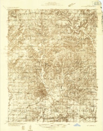
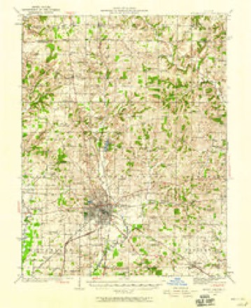
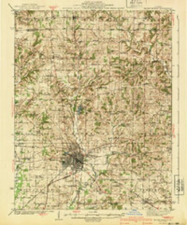
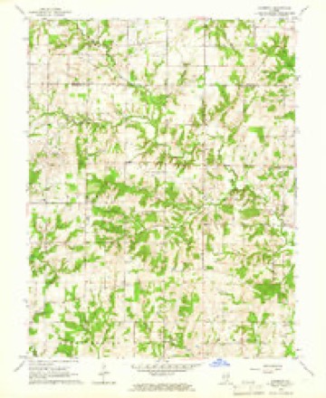
11 topographic sheets cover this place, the earliest surveyed in 1933 and the latest in 1982. It stands in Field Township. It lies in ZIP code area 62889. It stands on Panther Fork. The Survey maps it on the Harmony quadrangle. It stands 541 feet above sea level.
Topographic sheets covering this place
7 surveys from 11 printed sheetsMatched by testing this settlement's coordinate against the published boundary of every sheet in the United States Geological Survey's historical collection. Each opens the scanned sheet at the Survey.
- 1933 USGS Mount Vernon quadrangle1:48000
- 1933 USGS Mount Vernon quadrangle1:62500, 2 printings
- 1940 USGS Mount Vernon quadrangle1:62500, 2 printings
- 1958 USGS Belleville quadrangle1:250000, 3 printings
- 1962 USGS Belleville quadrangle1:250000
- 1965 USGS Harmony quadrangle1:24000
- 1982 USGS Mount Vernon quadrangle1:100000


In the county-history sources
7,644 words on this townshipHistory of Jefferson County, Illinois, published 1883 names this settlement in its chapter on Field Township. These are the passages that mention it, exactly as the scans read.
JOBN C. McCONNELL, farming, P. O. Dix, was born January 6, 1825, in Jefferson County. 111., son of Burl McConnell, from Sumner County. Tenn.. late of Jefferson County, 111., deceased. MJr. McConnell is a member of the Masonic fraternity, also a member of the Methodist Episcopal Church. He was in the Mexican war in 1846 and 1847, and was married, August 25, 1847, to Miss Sarah J., daughter of Samuel Cummins, of Jefferson County, 111., and has had seven children, five living, viz., Samuel F., William H., Harriet, John D. and James W. Mrs. McConnell died April 18, 1879, and he was again married, to Amering Howard, of Saline County, 111. He was educated in Jefferson County, and owns 480 acres of land, and is engaged in farming and stock-raising, . DR. WILLIAM K. PARKER, physician. Divide, was born in this county March 3, 1851. He was brought up on the farm, and attended the common schools. He farmed until twenty-one years of age, when he began to read medicine and also worked for railroad companies for about four years. He graduated from the College of Physicians and Surgeons of Keokuk, Iowa, in the spring of 1883. He at once began the prai^tice of medicine at his home in Field Township, and is building up a good practice. His father, James T. Parker (deceased), was born in Kentucky in 1824; came to this county with his parents when a child; was married to, Mickey A. Hutcherson, by whom he had six children, viz., Mary C, our subject, Elsah E., Nettie V. (deceased), Charles F. and Wincey A. The father died December 14, 1864. He was a member of the Methodist Episcopal Church in good standing, a consistent Christian and a temperance worker.
Passage source: History of Jefferson County, Illinois, published 1883.
Machine-read from a century-old scan, so expect the errors a machine makes: misspelled names, dropped words, stray characters.
Read the whole chapter on Field Township - it names this place 5 more 5 times.
Nearest settlements
The eight closest, with where each one stands in the county. Distances are straight-line, computed from the Geographic Names Information System coordinates.
| Map | Place | Distance | Sheets |
|---|---|---|---|
| Harmony | 3.4 miles | 11 | |
| Texico | 3.6 miles | 12 | |
| Pigeon (historical) | 5.3 miles | 11 | |
| Dix | 5.7 miles | 12 | |
| Stratton | 6.2 miles | 9 | |
| Shields | 6.3 miles | 9 | |
| Idlewood | 6.7 miles | 12 | |
| Camp Ground | 7.5 miles | 12 |
Elsewhere
Matched on this settlement's Geographic Names Information System number rather than its name, so it cannot be a different place of the same name in another state.
| Wikipedia article on Divide | An encyclopaedic summary. Its text is share-alike, so it is linked here rather than copied. |
| Wikidata item Q22033960 | The structured record the population and elevation above come from. Public domain (CC0). |
Provenance
This settlement is recorded in the Geographic Names Information System as feature 422629. The sheet list is computed by point-in-boundary test against the United States Geological Survey's historical topographic inventory. Both are works of the United States government and carry no copyright under 17 U.S.C. 105.