 Block
Donnellson, Illinois
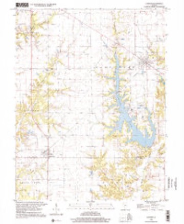
11 topographic sheets cover this place, the earliest surveyed in 1947 and the latest in 1998. It stands in Grisham Township. It lies in ZIP code area 62019. The Survey maps it on the Coffeen quadrangle.
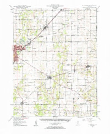
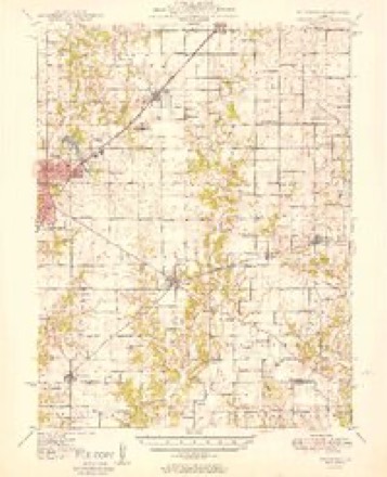
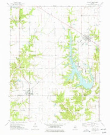
Topographic sheets covering this place
7 surveys from 11 printed sheetsMatched by testing this settlement's coordinate against the published boundary of every sheet in the United States Geological Survey's historical collection. Each opens the scanned sheet at the Survey.
- 1947 USGS Hillsboro quadrangle1:62500
- 1949 USGS Hillsboro quadrangle1:62500, 2 printings
- 1958 USGS Decatur quadrangle1:250000, 3 printings
- 1961 USGS Decatur quadrangle1:250000, 2 printings
- 1974 USGS Coffeen quadrangle1:24000
- 1982 USGS Litchfield quadrangle1:100000
- 1998 USGS Coffeenn quadrangle1:24000


Storms near this place
7 since 2000Regional context, not property-specific evidence. The National Weather Service names Donnellson in 7 storm reports between 2000 and 2021: 3 tornado, 2 hail, 2 thunderstorm wind. No death or injury is recorded in these reports. Each account below is quoted exactly as the forecast office filed it, from the NOAA Storm Events Database, and each date opens the federal record of that event.
| When | Event | Place named | Harm | What the report says |
|---|---|---|---|---|
| December 2021 | Tornado (EF1) | Donnellson | - | As it moved northeast into Montgomery County 3.2 miles east of Donnellson, it moved over the southern portion of Coffeen Lake. The damage in this area consisted of downed and snapped trees rated EF-1. As the tornado continued northeast, it crossed IL Route 185 where it destroyed an outbuilding, snapped trees, and downed power lines. Near the intersection of School House Avenue and Dads Trail, extensive tree damage was observed. Further northeast, the tornado crossed Fillmore Lake, moving into Fayette County. The tornado was rated EF1 in Montgomery County with a path length of 10.11 miles and a max path width of 300 yards. No injuries or deaths were reported in Montgomery County. |
| April 2019 | Tornado (EF0) | Donnellson | - | Several storm chasers witnessed a weak short-lived tornado from different vantage points. The tornado lifted dust from a field and small branches and leaves from a few trees. The location is estimated from a combination of radar and chaser reports. The tornado was rated EF0 with a path length of 1.17 miles and a max path width of 25 yards. There were no deaths or injuries reported with this tornado. |
| May 2013 | Thunderstorm Wind | Donnellson | - | Thunderstorm winds blew down a large walnut tree about 6 miles south of Taylor Springs. Also, several large trees were blown down around Hillsboro. One tree fell on top of an unoccupied vehicle, causing major damage. |
| June 2000 | Tornado (F0) | Donnellson | - | A small tornado left an intermittent damage path across southeast Montgomery County. One grain bin was destroyed, otherwise damage was limited to downed trees and some power lines. |
| March 2005 | Hail | Donnellson | - | no account filed |
| May 2005 | Thunderstorm Wind | Donnellson | - | no account filed |
| May 2004 | Hail | Donnellson | - | no account filed |
Nearest settlements
The eight closest, with where each one stands in the county. Distances are straight-line, computed from the Geographic Names Information System coordinates.
| Map | Place | Distance | Sheets |
|---|---|---|---|
| Coffeen | 6.1 miles | 11 | |
| Taylor Springs | 7.2 miles | 10 | |
| Walshville | 8.3 miles | 12 | |
| Hillsboro Heights | 8.8 miles | 10 | |
| Fairmont Place | 9.0 miles | 10 | |
| Hillsboro | 9.3 miles | 10 | |
| Schram City | 9.4 miles | 10 | |
| Chapman | 9.9 miles | 11 |
Provenance
This settlement is recorded in the Geographic Names Information System as feature 407308. The sheet list is computed by point-in-boundary test against the United States Geological Survey's historical topographic inventory. Both are works of the United States government and carry no copyright under 17 U.S.C. 105.
Storms. NOAA National Centers for Environmental Information, Storm Events Database https://www.ncei.noaa.gov/stormevents/ A work of the United States government, no copyright under 17 U.S.C. 105. Narratives are quoted verbatim from the National Weather Service report and are not edited or summarised.