 Block
Dudley, Illinois
14 topographic sheets cover this place, the earliest surveyed in 1946 and the latest in 1986. It stands in Grandview Township. It lies in ZIP code area 61944. The Survey maps it on the Grandview quadrangle.
Topographic sheets covering this place
8 surveys from 14 printed sheetsMatched by testing this settlement's coordinate against the published boundary of every sheet in the United States Geological Survey's historical collection. Each opens the scanned sheet at the Survey.
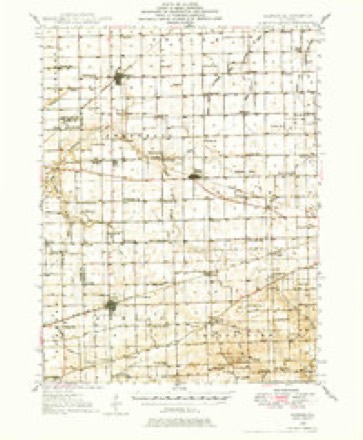
- 1946 USGS Kansas quadrangle1:62500
- 1949 USGS Kansas quadrangle1:62500, 2 printings
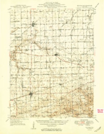
- 1953 USGS Indianapolis quadrangle1:250000, 4 printings
- 1956 USGS Indianapolis quadrangle1:250000
- 1957 USGS Indianapolis quadrangle1:250000, 2 printings
- 1962 USGS Indianapolis quadrangle1:250000
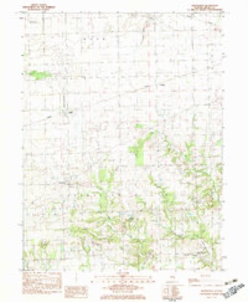
- 1982 USGS Grandview quadrangle1:24000
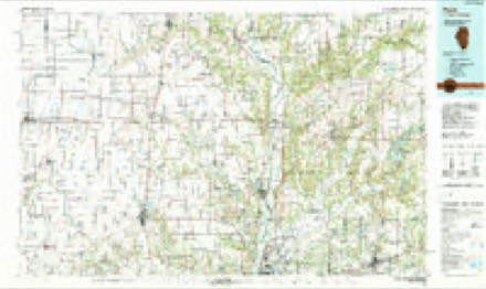
- 1986 USGS Paris quadrangle1:100000, 2 printings




In the county-history sources
1,781 words on this townshipThe History of Edgar County, Illinois, Containing a History of the County--its Cities, Towns, &c. : Directory of Its Tax-payers; War Records of Its Volunteers in the Late Rebellion Portraits of Early Settlers and Prominent Men; General and Local Statistics; Map of Edgar County; History of Illinois, Illustrated; History of the Northwest, Illustrated; Constitution of the United States, Miscellaneous Matters, &c., &c. Illustrated, published 1879 names this settlement in its chapter on Grandview Township. These are the passages that mention it, exactly as the scans read.
The failure of Grand View was the foundation for another town which should rise with the completion of the railroad already mentioned, and no sooner was the road located, than a movement was made to start a town in the northern part of the township, on that line. The land on which the village of Dudley now stands was originally owned by John Cline. After the death of Cline, the land was sold at auction, and R. B. Sutherland became its owner. When the railroad was ascertained to be a fixed fact, Sutherland caused it to be laid out into town lots. It was surveyed and platted by Edward Wolcott, County Surveyor, November 2T, 1855. Prior to this date, there was only one house inside of what is now the plat of Dudley. Alexander A. Young had built where he now resides, and his house may well be regarded as the first house in the village. The first house erected, after the town was laid out, was by Thomas Langford, who was then living just a little way north of the station. This was a store building, and into it he placed a stock of general merchandise, and kept it for sale. The second house erected was the hotel-building, now kept by William Grismer. This building was put up by John Shultz, for the purpose to which it has ever since been put, and was kept by him, as a hotel, for fourteen years. Following these improvements, were a dwelling and store by R. B. Sutherland. Very soon after, M. Shrader built a dwelling and store¬ house. Aaron Norton built the property now occupied by the Yowell family, and, from that time, dwellings, stores, shops and other buildings of various kinds, sprang up all around in such number that it would require more space than is at our command to record all of them. Mr. Norton was appointed first Post¬ master, and kept the office for a time in the house just named. A school was soon in demand, and a small frame building for this purpose was erected, and William Ramsey was installed as first teacher. Dr. Mark Rowe, who still resides here, was the first resident physician. The town has improved, not so rapidly as some others in the county, but it can be set dowm as a 'place of more than ordinary thrift and solidity. The population of Dudley, at present, is about three hundred.
Among the institutions of Dudley not already mentioned in the township history, we notice a nice, two-storv frame schoolhouse, which has taken the place of the original little affair in which Prof. Ramsey formerly held forth. We also notice a fine brick building in the western part of the business portion of town, the upper story of which is dedicated to the practice of the mysteries known only to that Ancient Order whose professed principles are Friendship, Morality and Brotherly Love. Grand View Lodge, No. 198, A., F. & A. M., was once one of the institutions of the village of Grand View, and was estab¬ lished there in 1856. Its charter members were William S. Yanmeter, T. J. Langford, Thomas M. Smith, Ira R. Langford, Jefferson Shrader, John 0. Worster and Lewis Shrader, the first three of which were respectively the Worshipful Master, Senior and Junior Wardens. In 1870, the brethren of Dudley and vicinity, then outnumbering those of Grand View, resolved upon its removal, and in December of that year the removal was accomplished. The quarters of the society are owned by the Lodge, and consist of an elegant room, 22x70 feet in size, and fitted up in good taste. The present officers are: Robert Dean, W. M. ; Mark Rowe, S. W.; John A. Walz, J. W.; G. N. Humphrey, Secretary; Jefferson Shrader, Treasurer; Z. F. Shultz, S. D. ; George L. Gorham, J. D. ; and D. C. Shultz, Tiler. The present member¬ ship of the Lodge is thirty-eight. Meetings are held on Tuesday evenings, on or before the full moon of each month. In connection with the Lodge is organized a society denominated the Eastern Star, an order to which ladies - the wives, mothers, daughters and sisters of the brethren in good standing - are admitted.
Machine-read from a century-old scan, so expect the errors a machine makes: misspelled names, dropped words, stray characters.
Mines and quarries near this place
1 within 5 milesRegional context, not property-specific evidence. The federal mineral resources record lists 1 working within 5 miles of Dudley: 1 occurrence. None of them still produces. What was taken out: Stone, Crushed/Broken. Distance is straight-line from the map coordinates, so a quarry counted here may appear on a neighbouring settlement's page as well.
| Where | Site | Commodity | Status | Recorded |
|---|---|---|---|---|
| Limestone Prospect | Stone, Crushed/Broken | Occurrence |
Storms near this place
1 since 2000Regional context, not property-specific evidence. The National Weather Service names Dudley in 1 storm report in 2000: 1 thunderstorm wind. No death or injury is recorded in these reports. Each account below is quoted exactly as the forecast office filed it, from the NOAA Storm Events Database, and each date opens the federal record of that event.
| When | Event | Place named | Harm | What the report says |
|---|---|---|---|---|
| May 2000 | Thunderstorm Wind | Dudley | - | Thunderstorm winds blew down several large trees and caused moderate roof damage to two barns one mile north of Dudley. |
Nearest settlements
The eight closest, with where each one stands in the county. Distances are straight-line, computed from the Geographic Names Information System coordinates.
| Map | Place | Distance | Sheets |
|---|---|---|---|
| Grandview | 2.5 miles | 14 | |
| Conlogue | 3.2 miles | 14 | |
| Mays | 4.7 miles | 15 | |
| Redmon | 4.8 miles | 15 | |
| Kansas | 5.0 miles | 15 | |
| Warrington | 5.3 miles | 15 | |
| Bell Ridge | 6.6 miles | 14 | |
| New Athens (historical) | 7.0 miles | 15 |
Provenance
This settlement is recorded in the Geographic Names Information System as feature 407460. The sheet list is computed by point-in-boundary test against the United States Geological Survey's historical topographic inventory. Both are works of the United States government and carry no copyright under 17 U.S.C. 105.
Mines and quarries. USGS Mineral Resources Data System (MRDS) https://mrdata.usgs.gov/mrds/ A work of the United States government, no copyright under 17 U.S.C. 105.
Storms. NOAA National Centers for Environmental Information, Storm Events Database https://www.ncei.noaa.gov/stormevents/ A work of the United States government, no copyright under 17 U.S.C. 105. Narratives are quoted verbatim from the National Weather Service report and are not edited or summarised.