 Block
Bell Ridge, Illinois
14 topographic sheets cover this place, the earliest surveyed in 1946 and the latest in 1986. It stands in Symmes Township. It lies in ZIP code area 61944. The Survey maps it on the Grandview quadrangle.
Topographic sheets covering this place
8 surveys from 14 printed sheetsMatched by testing this settlement's coordinate against the published boundary of every sheet in the United States Geological Survey's historical collection. Each opens the scanned sheet at the Survey.
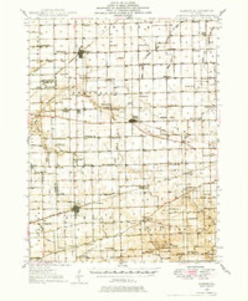
- 1946 USGS Kansas quadrangle1:62500
- 1949 USGS Kansas quadrangle1:62500, 2 printings
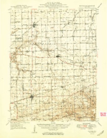
- 1953 USGS Indianapolis quadrangle1:250000, 4 printings
- 1956 USGS Indianapolis quadrangle1:250000
- 1957 USGS Indianapolis quadrangle1:250000, 2 printings
- 1962 USGS Indianapolis quadrangle1:250000
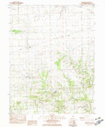
- 1982 USGS Grandview quadrangle1:24000
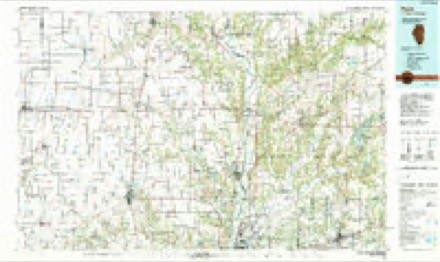
- 1986 USGS Paris quadrangle1:100000, 2 printings




Mines and quarries near this place
2 within 5 milesRegional context, not property-specific evidence. The federal mineral resources record lists 2 workings within 5 miles of Bell Ridge: 2 occurrences. None of them still produces. What was taken out: Stone, Crushed/Broken. Distance is straight-line from the map coordinates, so a quarry counted here may appear on a neighbouring settlement's page as well.
| Where | Site | Commodity | Status | Recorded |
|---|---|---|---|---|
| Limestone Prospect | Stone, Crushed/Broken | Occurrence | ||
| Limestone Prospect | Stone, Crushed/Broken | Occurrence |
Storms near this place
5 since 1998Regional context, not property-specific evidence. The National Weather Service names Bell Ridge in 5 storm reports between 1998 and 2025: 2 tornado, 1 thunderstorm wind, 1 flash flood, 1 flood. No death or injury is recorded in these reports. Each account below is quoted exactly as the forecast office filed it, from the NOAA Storm Events Database, and each date opens the federal record of that event.
| When | Event | Place named | Harm | What the report says |
|---|---|---|---|---|
| April 2025 | Tornado (EF2) | Bell Ridge | - | This tornado crossed from Clark County into Edgar County just west of Flemington Creek at 7:02 PM CDT. It then continued northeastward, snapping trees and tree branches and doing minor damage to outbuildings before crossing into the National Weather Service Indianapolis County Warning Area in Vigo County, Indiana about 1 mile north of Sandford at 7:14 PM CDT. |
| June 2015 | Flash Flood | Bell Ridge | - | Several periods of rainfall occurred as a result of the remnants of Tropical Storm Bill. Rainfall totals ranged from 2.00 to 3.00 on already saturated ground in south central Edgar County. A few creeks flooded out of their banks. Extensive flooding of rural roads in the southern part of the county was reported. |
| June 2015 | Flood | Bell Ridge | - | Several periods of rainfall occurred as a result of the remnants of Tropical Storm Bill. Rainfall totals ranged from 2.00 to 3.00 on already saturated ground in south central Edgar County. A few creeks flooded out of their banks. Extensive flooding of rural roads in the southern part of the county was reported. The periods of rainfall persisted through the rest of June 19th and into June 20th. This caused roadways and creeks to remain flooded. The flooding subsided by the morning of June 20th. |
| May 2003 | Tornado (F0) | Bell Ridge | - | A tornado briefly touched down in a field. No damage or injuries were reported. |
| July 1998 | Thunderstorm Wind | Bell Ridge | - | Thunderstorm winds blew down numerous trees in the Bell Ridge area. Two homes sustained minor to moderate damage from the fallen trees. Also, a barn was destroyed and a chimney was knocked down through the roof of a home one mile southeast of Bell Ridge. The south wall of the house was pushed out and a garage door was blown in. Nearby a mobile home sustained moderate damage. No injuries were reported. |
Nearest settlements
The eight closest, with where each one stands in the county. Distances are straight-line, computed from the Geographic Names Information System coordinates.
Provenance
This settlement is recorded in the Geographic Names Information System as feature 1736476. The sheet list is computed by point-in-boundary test against the United States Geological Survey's historical topographic inventory. Both are works of the United States government and carry no copyright under 17 U.S.C. 105.
Mines and quarries. USGS Mineral Resources Data System (MRDS) https://mrdata.usgs.gov/mrds/ A work of the United States government, no copyright under 17 U.S.C. 105.
Storms. NOAA National Centers for Environmental Information, Storm Events Database https://www.ncei.noaa.gov/stormevents/ A work of the United States government, no copyright under 17 U.S.C. 105. Narratives are quoted verbatim from the National Weather Service report and are not edited or summarised.