 Block
Kansas, Illinois
15 topographic sheets cover this place, the earliest surveyed in 1946 and the latest in 1998. It stands in Kansas Township. It lies in ZIP code area 61933. The Survey maps it on the Kansas quadrangle. 670 people lived here at the 2020 count. It stands 712 feet above sea level.
Population over time
2 figuresKansas fell from 787 to 670 between 2010 and 2020. These are the recorded population figures Wikidata holds for this place, reached through the Geographic Names Information System number this page is keyed on rather than by name, so they belong to this place and not to another of the same name. Most are census counts, but not all are: an early figure may be a founding or settlement estimate, and an estimate published within five years of a census is left out. The change column is computed, and is left blank where more than 20 years separate a figure from the one before it, because a gap that long is not a change between two counts.
| Year | People | Change |
|---|---|---|
| 2010 | 787 | |
| 2020 | 670 | -117 (-15%) |
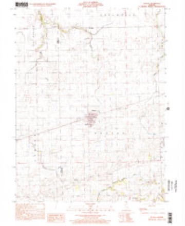
Topographic sheets covering this place
9 surveys from 15 printed sheetsMatched by testing this settlement's coordinate against the published boundary of every sheet in the United States Geological Survey's historical collection. Each opens the scanned sheet at the Survey.
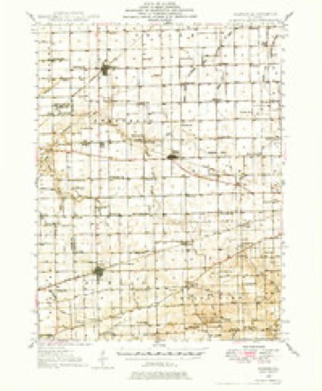
- 1946 USGS Kansas quadrangle1:62500
- 1949 USGS Kansas quadrangle1:62500, 2 printings
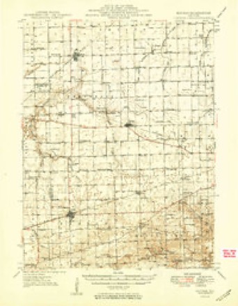
- 1953 USGS Indianapolis quadrangle1:250000, 4 printings
- 1956 USGS Indianapolis quadrangle1:250000
- 1957 USGS Indianapolis quadrangle1:250000, 2 printings
- 1962 USGS Indianapolis quadrangle1:250000
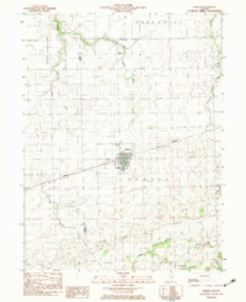
- 1982 USGS Kansas quadrangle1:24000
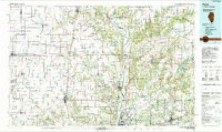
- 1986 USGS Paris quadrangle1:100000, 2 printings
- 1998 USGS Kansas quadrangle1:24000




In the county-history sources
3,816 words on this townshipThe History of Edgar County, Illinois, Containing a History of the County--its Cities, Towns, &c. : Directory of Its Tax-payers; War Records of Its Volunteers in the Late Rebellion Portraits of Early Settlers and Prominent Men; General and Local Statistics; Map of Edgar County; History of Illinois, Illustrated; History of the Northwest, Illustrated; Constitution of the United States, Miscellaneous Matters, &c., &c. Illustrated, published 1879 names this settlement in its chapter on Kansas Township. These are the passages that mention it, exactly as the scans read.
The railroad had but just been completed, when towns began to spring up at convenient points all along the line. Quite a number of the towns now found on this road, of course, had been founded years before ; but some of the important ones have been entirely built since that time. Kansas, or " Midway," as it was then called, was laid out for Lovell Wilhoit and John Saunders by County Surveyor Benjamin F. Lodge, assisted by Elijah Boyer and D. W. Zink.
Mr. Zink, to whom we are indebted for almost the entire history of the village, delivered an address to the citizens of Kansas on the 4th of July, 1876, in which he says that the survey was made, as above stated, in June of 1853. The plat was recorded on the 16th of the following month, and thus was the foundation of the village laid. At that time, the site of what is now a flourishing little city, was the secure haunt of the prairie-wolf and the rat¬ tlesnake ; and here could be seen the graceful deer quietly grazing or in playful gambol, and rarely disturbed by the pioneer's rifle.
J. W. Hogue was the first to venture into trade here, displaying his w'ares in a small building located between the Kansas House and the railroad. This building differed in many respects from the brick blocks now occupied by the merchants of Kansas. In size it was about 16x30 feet. In its construction but few square timbers were used, the joists and studding being black-jack poles, hewn on one side to make a smooth surface to which boards could be nailed. The building and contents made several changes in ownership in a brief period of time. Mr. Hogue sold out to J. W. Saunders, a subcontractor in the con¬ struction of the railroad. Mills, Herrick and Kester were the next owners, but soon retired from the business, the first two to practice their profession - that of medicine - and the other to preaching. Samuel Birch, J. D. Thrasher and J. K. and W. F. Boyer in turn succeeded as proprietors of the " Midway Store. ' The last named gentlemen, in the spring of 1854, erected a very good two-story building, sufficiently large to accommodate a good-sized stock of goods below, while the upper portion served as a residence for W. F. Boyer.
Machine-read from a century-old scan, so expect the errors a machine makes: misspelled names, dropped words, stray characters.
Read the whole chapter on Kansas Township - it names this place 16 more 16 times.
Mines and quarries near this place
1 within 5 milesRegional context, not property-specific evidence. The federal mineral resources record lists 1 working within 5 miles of Kansas: 1 producer. All of them still produce. What was taken out: Stone. Distance is straight-line from the map coordinates, so a quarry counted here may appear on a neighbouring settlement's page as well.
| Where | Site | Commodity | Status | Recorded |
|---|---|---|---|---|
| Hoskins Sand and Gravel | Stone | Producer |
Storms near this place
22 since 1995Regional context, not property-specific evidence. The National Weather Service names Kansas in 22 storm reports between 1995 and 2025: 17 thunderstorm wind, 4 flash flood, 1 hail. No death or injury is recorded in these reports. Each account below is quoted exactly as the forecast office filed it, from the NOAA Storm Events Database, and each date opens the federal record of that event.
| When | Event | Place named | Harm | What the report says |
|---|---|---|---|---|
| June 2008 | Thunderstorm Wind | Kansas | $40,000 | Numerous trees and power lines were blown down. A semi trailer was blown over north of Kansas. |
| July 2008 | Thunderstorm Wind | Kansas | $35,000 | Several trees were blown down. Falling tree limbs caused damage to some vehicles in the town of Kansas. |
| February 2008 | Thunderstorm Wind | Kansas | $20,000 | Numerous trees and power lines were blown down. |
| August 2014 | Thunderstorm Wind | Kansas | $15,000 | A few trees and power lines were blown down in Kansas. |
| July 2016 | Thunderstorm Wind | Kansas | $2,000 | A large tree was snapped. |
| September 2012 | Thunderstorm Wind | Kansas | $2,000 | A tree was blown down onto Highway 16 just east of Kansas. |
| September 2012 | Thunderstorm Wind | Kansas | $2,000 | A tree was blown down onto Highway 49 just north of Kansas. |
| June 2025 | Thunderstorm Wind | Kansas | - | A trained spotter reported seven to eight power poles were snapped along IL Route 16 one mile west-southwest of Kansas, and estimated wind speeds of 70 mph. |
| April 2024 | Thunderstorm Wind | Kansas | - | A grain bin was blown away. |
| June 2023 | Thunderstorm Wind | Kansas | - | Grain bins were damaged. |
| June 2013 | Flash Flood | Kansas | - | Thunderstorms with heavy rainfall produced 3.00 to 5.00 inches of rain during the afternoon of June 26th in extreme southwest Edgar County. Several rural roads south and southeast of the town of Kansas were impassable. The flooding on area roads subsided by mid-evening. |
| June 2008 | Flash Flood | Kansas | - | There were numerous reports of flooded roads and basements across Edgar County. |
| May 2004 | Thunderstorm Wind | Kansas | - | Several trees and tree limbs were blown down. |
| May 2003 | Flash Flood | Kansas | - | Very heavy rain fell over Edgar county, causing several roads to be flooded between Kansas and Paris. |
| May 2003 | Thunderstorm Wind | Kansas | - | Thunderstorm winds blew down numerous trees and power lines. |
| May 2003 | Thunderstorm Wind | Kansas | - | Another storm moved across Edgar County. Additional trees and power lines were blown down. |
| July 2002 | Flash Flood | Kansas | - | Several inches of rain fell in a short amount of time, causing several roads in the Kansas area to have one to two feet of water flowing over them. |
| July 2001 | Thunderstorm Wind | Kansas | - | Numerous large tree limbs and several power lines were blown down. |
| August 2000 | Thunderstorm Wind | Kansas | - | Several power lines were blown down in Kansas and Redmon. A tree was blown down across Illinois Route 49 in Kansas. |
| June 1995 | Thunderstorm Wind | Kansas | - | Numerous trees were blown down in Kansas. |
| May 2000 | Hail | Kansas | - | no account filed |
| June 1996 | Thunderstorm Wind | Kansas | - | no account filed |
Nearest settlements
The eight closest, with where each one stands in the county. Distances are straight-line, computed from the Geographic Names Information System coordinates.
| Map | Place | Distance | Sheets |
|---|---|---|---|
| Warrington | 4.1 miles | 15 | |
| Grandview | 5.0 miles | 14 | |
| Dudley | 5.0 miles | 14 | |
| New Athens (historical) | 6.5 miles | 15 | |
| Isabel | 7.1 miles | 15 | |
| Borton | 7.1 miles | 15 | |
| Redmon | 7.6 miles | 15 | |
| Conlogue | 8.2 miles | 14 |
Elsewhere
Matched on this settlement's Geographic Names Information System number rather than its name, so it cannot be a different place of the same name in another state.
| Wikipedia article on Kansas | An encyclopaedic summary. Its text is share-alike, so it is linked here rather than copied. |
| Wikidata item Q2671926 | The structured record the population and elevation above come from. Public domain (CC0). |
Provenance
This settlement is recorded in the Geographic Names Information System as feature 411307. The sheet list is computed by point-in-boundary test against the United States Geological Survey's historical topographic inventory. Both are works of the United States government and carry no copyright under 17 U.S.C. 105.
Mines and quarries. USGS Mineral Resources Data System (MRDS) https://mrdata.usgs.gov/mrds/ A work of the United States government, no copyright under 17 U.S.C. 105.
Storms. NOAA National Centers for Environmental Information, Storm Events Database https://www.ncei.noaa.gov/stormevents/ A work of the United States government, no copyright under 17 U.S.C. 105. Narratives are quoted verbatim from the National Weather Service report and are not edited or summarised.