 Block
Dunlap, Illinois
22 topographic sheets cover this place, the earliest surveyed in 1893 and the latest in 1996. It stands in Radnor Township. It lies in ZIP code area 61525. The Survey maps it on the Dunlap quadrangle. 1,603 people lived here at the 2020 count. It stands 699 feet above sea level.
Population over time
3 figuresDunlap grew from 926 to 1,603 between 2000 and 2020. These are the recorded population figures Wikidata holds for this place, reached through the Geographic Names Information System number this page is keyed on rather than by name, so they belong to this place and not to another of the same name. Most are census counts, but not all are: an early figure may be a founding or settlement estimate, and an estimate published within five years of a census is left out. The change column is computed, and is left blank where more than 20 years separate a figure from the one before it, because a gap that long is not a change between two counts.
| Year | People | Change |
|---|---|---|
| 2000 | 926 | |
| 2010 | 1,386 | +460 (+50%) |
| 2020 | 1,603 | +217 (+16%) |
Topographic sheets covering this place
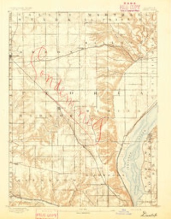
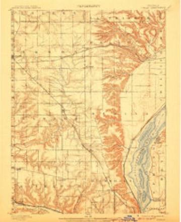
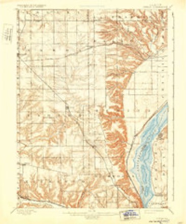
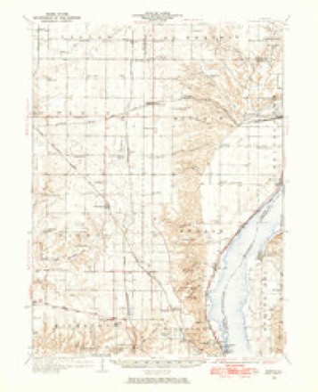
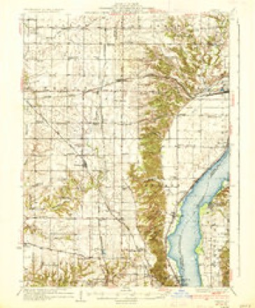
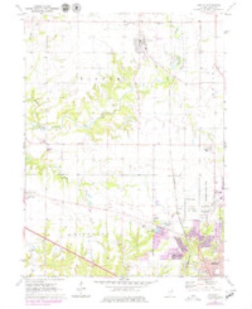
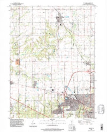
13 surveys from 22 printed sheetsMatched by testing this settlement's coordinate against the published boundary of every sheet in the United States Geological Survey's historical collection. Each opens the scanned sheet at the Survey.
- 1893 USGS Dunlap quadrangle1:62500
- 1898 USGS Dunlap quadrangle1:62500, 4 printings
- 1932 USGS Dunlap quadrangle1:62500
- 1933 USGS Dunlap quadrangle1:62500
- 1937 USGS Dunlap quadrangle1:62500, 3 printings
- 1958 USGS Peoria quadrangle1:250000, 4 printings
- 1961 USGS Peoria quadrangle1:250000
- 1963 USGS Peoria quadrangle1:250000
- 1971 USGS Dunlap quadrangle1:24000, 2 printings
- 1985 USGS Peoria quadrangle1:100000
- 1989 USGS Peoria quadrangle1:100000
- 1990 USGS Peoria quadrangle1:250000
- 1996 USGS Dunlap quadrangle1:24000






In the county-history sources
8,939 words on this townshipThe History of Peoria County, Illinois. Containing a History of the Northwest--history of Illinois--history of the County, Its Early Settlement, Growth, Development, Resources, Etc., Etc. .., published 1880 names this settlement in its chapter on Radnor Township. These are the passages that mention it, exactly as the scans read.
The first precinct election was held at the house of Alva Dunlap, on the northwest quarter of section 14. Richard Scholes is reported as the first justice of the peace. The first couple married was George McMillan and Miss Phoebe Hill. The first birth was in the family of Henry Martin, on the southeast quarter of section 35, in 1836. The first death was that of Henry Martin the same year. The first post office was known as Orange Prairie, and was located at the residence of Enoch Huggins, who was the postmaster, on section 36. That post office was discontinued some years since, and was succeeded by the post office at Dunlap, Miss Frances Dunlap, postmistress. This is tlie only post office in the township.
Passage source: The History of Peoria County, Illinois. Containing a History of the Northwest--history of Illinois--history of the County, Its Early Settlement, Growth, Development, Resources, Etc., Etc. .., published 1880.
Tiiis village is located on the Peoria and Rock Island Railmad, fifteen miles northwest from Peoria, and is an outgrowth of that railroad enterprise. The situation is a commanding one, and is in tlie center of an agricultural district that is unsurpassed in any part of the county. The village site embraces forty acres of Alva Dunlap's iiome place, and was laid off by that gentleman in 1871.
Passage source: The History of Peoria County, Illinois. Containing a History of the Northwest--history of Illinois--history of the County, Its Early Settlement, Growth, Development, Resources, Etc., Etc. .., published 1880.
BRIGHT GEO. W. farmer. Sec. 15, P. O. Dunlap ; was born in Alleghany county, Pa., April 22, 1833. In 1857, he came to Peoria county. In September, 1861, enlisted in Co. I, nth Ills. Vol. Inf., and served three years. In April, 1859, married Mrs. Mary E. Faucett, a native of Massachusetts, born May 31, 1830. She had three children by her previous marriage. He owns thirty acres of land in a high state of cultivation and well improved. Was formerly a Republican but has joined the Greenback party.
Passage source: The History of Peoria County, Illinois. Containing a History of the Northwest--history of Illinois--history of the County, Its Early Settlement, Growth, Development, Resources, Etc., Etc. .., published 1880.
Machine-read from a century-old scan, so expect the errors a machine makes: misspelled names, dropped words, stray characters.
Read the whole chapter on Radnor Township - it names this place 36 more 36 times.
Fires near this place
1 since 2018Regional context, not property-specific evidence. The federal wildfire occurrence database lists 1 fire within 5 miles of Dunlap in 2018, burning about 10 acres in total. None started naturally. None was recorded as arson. Distance is straight-line from the map coordinates, so a fire counted here may appear on a neighbouring settlement's page as well.
| Reported cause | Fires |
|---|---|
| Debris and open burning | 1 |
The most recent of them, most recent first, with the day each was reported and the service that recorded it.
| Date | Cause | Size | Reported by | Name on the report |
|---|---|---|---|---|
| 23 March 2018 | Debris and open burning | 10 acres | Illinois Division of Forestry Resources | 2018188 |
Settlements close enough to share some of these fires:
Mines and quarries near this place
5 within 5 milesRegional context, not property-specific evidence. The federal mineral resources record lists 5 workings within 5 miles of Dunlap: 2 occurrences, 2 producers, 1 past producer. 2 still produce. What was taken out: Sand and Gravel, Construction, Stone, Crushed/Broken. Distance is straight-line from the map coordinates, so a quarry counted here may appear on a neighbouring settlement's page as well.
| Where | Site | Commodity | Status | Recorded |
|---|---|---|---|---|
| Limestone Prospect | Stone, Crushed/Broken | Occurrence | ||
| Limestone Prospect | Stone, Crushed/Broken | Occurrence | ||
| Giles Property | Sand and Gravel, Construction | Past Producer | ||
| Kickapoo Sand & Gravel Pit | Sand and Gravel, Construction | Producer | ||
| Theodore Schaer Pit | Sand and Gravel, Construction | Producer |
Storms near this place
17 since 2005Regional context, not property-specific evidence. The National Weather Service names Dunlap in 17 storm reports between 2005 and 2024: 10 thunderstorm wind, 3 hail, 2 lightning, 2 tornado. No death or injury is recorded in these reports. Each account below is quoted exactly as the forecast office filed it, from the NOAA Storm Events Database, and each date opens the federal record of that event.
| When | Event | Place named | Harm | What the report says |
|---|---|---|---|---|
| June 2012 | Lightning | Dunlap | $200,000 | A lightning strike set a house on fire on Pauli Road in Dunlap. The house burned to the ground and was a total loss. |
| November 2013 | Thunderstorm Wind | Dunlap | $85,000 | Two grain bins, a conveyor belt, and two small buildings were damaged in Dunlap. |
| August 2020 | Thunderstorm Wind | Dunlap | $35,000 | A tree was blown onto a home at 4th Street and Birch Street and large tree branches were blown onto another home at 5th Street and Birch Street in Dunlap. |
| May 2020 | Thunderstorm Wind | Dunlap | $30,000 | A township outbuilding was damaged. |
| June 2011 | Lightning | Dunlap | $25,000 | A lightning strike started a fire at the home of the Dunlap Fire Chief. His wife and daughters escaped without injury. Damage was confined to the roof and upper parts of the house. |
| June 2015 | Thunderstorm Wind | Dunlap | $10,000 | Two mature apple trees were blown down and numerous 4 to 6-inch diameter branches were snapped off. Corn was flattened. |
| August 2010 | Thunderstorm Wind | Dunlap | $4,000 | Two large tents at a festival were destroyed by strong winds. |
| July 2008 | Thunderstorm Wind | Dunlap | $2,000 | A tree was blown down across a road. |
| July 2024 | Thunderstorm Wind | Dunlap | - | Tree trunks were snapped. This occurred about a quarter mile west of a tornado, but was not associated with the tornado. |
| July 2024 | Tornado (EF1) | Dunlap | - | This tornado began four miles west of Dunlap in a wooded area northwest of the corner of west Legion Hall Road and north Mendenhall Road. It moved southeast where it produced significant tree damage on five different properties, and one homestead lost 40 trees. Many of the trees were very tall pine trees which were snapped. The tornado continued southeast, knocking a tree onto power lines along Evans Mill Road. It produced more tree damage along Fuecht Road, and then lifted in a field east of the road about two miles west-southwest of Dunlap. |
| May 2020 | Thunderstorm Wind | Dunlap | - | Power lines were blown down. |
| July 2020 | Thunderstorm Wind | Dunlap | - | A large tree was blown onto a road. |
| February 2017 | Tornado (EF0) | Dunlap | - | A tornado briefly touched down in an open field about 3.6 miles east of Dunlap at 5:10 PM CST. No damage occurred. |
| September 2019 | Hail | Dunlap | - | no account filed |
| April 2015 | Hail | Dunlap | - | no account filed |
| May 2006 | Hail | Dunlap | - | no account filed |
| June 2005 | Thunderstorm Wind | Dunlap | - | no account filed |
Nearest settlements
The eight closest, with where each one stands in the county. Distances are straight-line, computed from the Geographic Names Information System coordinates.
| Map | Place | Distance | Sheets |
|---|---|---|---|
| Akron | 3.2 miles | 21 | |
| Cedar Bluff Estates | 3.9 miles | 23 | |
| Alta | 4.2 miles | 22 | |
| West Hallock | 4.6 miles | 21 | |
| Pioneer | 5.6 miles | 22 | |
| Orange Prairie | 5.8 miles | 22 | |
| Edelstein | 6.1 miles | 21 | |
| Princeville | 6.3 miles | 14 |
Elsewhere
Matched on this settlement's Geographic Names Information System number rather than its name, so it cannot be a different place of the same name in another state.
| Wikipedia article on Dunlap | An encyclopaedic summary. Its text is share-alike, so it is linked here rather than copied. |
| Wikidata item Q2235943 | The structured record the population and elevation above come from. Public domain (CC0). |
Provenance
This settlement is recorded in the Geographic Names Information System as feature 407503. The sheet list is computed by point-in-boundary test against the United States Geological Survey's historical topographic inventory. Both are works of the United States government and carry no copyright under 17 U.S.C. 105.
Wildfire. Short, Karen C. 2022. Spatial wildfire occurrence data for the United States, 1992-2020 [FPA_FOD_20221014]. 6th Edition. Fort Collins, CO: Forest Service Research Data Archive. https://doi.org/10.2737/RDS-2013-0009.6 Collected with United States Government funding and usable without additional permissions or fees.
Mines and quarries. USGS Mineral Resources Data System (MRDS) https://mrdata.usgs.gov/mrds/ A work of the United States government, no copyright under 17 U.S.C. 105.
Storms. NOAA National Centers for Environmental Information, Storm Events Database https://www.ncei.noaa.gov/stormevents/ A work of the United States government, no copyright under 17 U.S.C. 105. Narratives are quoted verbatim from the National Weather Service report and are not edited or summarised.