 Block
Brimfield, Illinois
15 topographic sheets cover this place, the earliest surveyed in 1944 and the latest in 1998. It stands in Brimfield Township. It lies in ZIP code area 61517. The Survey maps it on the Elmwood quadrangle. 778 people lived here at the 2020 count. It stands 702 feet above sea level.
On record in Brimfield
Buildings and businesses the archive holds for this place. Each opens its own page, with the source record it came from.
On the National Register 1 record
- Zion Episcopal Churchlisted 2024
Population over time
2 figuresBrimfield fell from 868 to 778 between 2010 and 2020. These are the recorded population figures Wikidata holds for this place, reached through the Geographic Names Information System number this page is keyed on rather than by name, so they belong to this place and not to another of the same name. Most are census counts, but not all are: an early figure may be a founding or settlement estimate, and an estimate published within five years of a census is left out. The change column is computed, and is left blank where more than 20 years separate a figure from the one before it, because a gap that long is not a change between two counts.
| Year | People | Change |
|---|---|---|
| 2010 | 868 | |
| 2020 | 778 | -90 (-10%) |
Topographic sheets covering this place
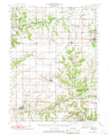
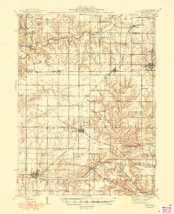
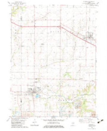
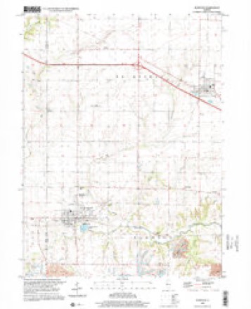
10 surveys from 15 printed sheetsMatched by testing this settlement's coordinate against the published boundary of every sheet in the United States Geological Survey's historical collection. Each opens the scanned sheet at the Survey.
- 1944 USGS Elmwood quadrangle1:62500, 2 printings
- 1948 USGS Elmwood quadrangle1:62500, 2 printings
- 1958 USGS Peoria quadrangle1:250000, 4 printings
- 1961 USGS Peoria quadrangle1:250000
- 1963 USGS Peoria quadrangle1:250000
- 1982 USGS Elmwood quadrangle1:24000
- 1985 USGS Peoria quadrangle1:100000
- 1989 USGS Peoria quadrangle1:100000
- 1990 USGS Peoria quadrangle1:250000
- 1998 USGS Elmwood quadrangle1:24000






In the county-history sources
12,594 words on this townshipThe History of Peoria County, Illinois. Containing a History of the Northwest--history of Illinois--history of the County, Its Early Settlement, Growth, Development, Resources, Etc., Etc. .., published 1880 names this settlement in its chapter on Brimfield Township. These are the passages that mention it, exactly as the scans read.
Previous to the lavins; out of tlie town a number of pioneers had located in the vicinit3^ Among them Philip Atlvinson, supposed to have been the first settler in the township. On section 10 N. of range 6, were Asahel and Roswell Walker, James Adams, and Daniel and A. W. Harkness. The first house in Charleston was built of logs, on the northwest corner of Knoxville and Galena Avenues, by A. Woniger, in 1836, who opened a grocery store in tlie room below, and made his residence in the room above. The same year Jacob Vanhouton, who was the first postmaster, built a log house on the northwest corner of Knoxville Avenue and Washington Street, better known as the old Wolcott house. In the township and vicinitj' many new settlers arrived in that year, among them were John F. and N. H. Wiley, Levi Jennings, L. L. Booth, John Tucker, Isaac Cutter, T. N. Wells, Daniel Simmons, Isaac Harrison, and L. L. Guyor, who succeeded Jacob Vanhouton as postmaster, and in the following year built a log house on lot 7 in block 17, in which lie opened a general store for supplying tlie inhabitants of the surrounding country with dry goods, groceries, etc., keeping bachelor's hall in the upper room, which was freely thrown open for preaching the gospel to any pioneer minister who might travel on the circuit. Those who settled in the west half of township 10, north of range 6, east (now Jubilee) in 1836, were the Powells, the Sniders, Shanes, James Berrian, the Martins, the Johnsons, and William Camphor, who was subsequently elected to represent Peoria county in the legislature, Daniel Stansburry, now living in Brimfield, at the age of 88 years; also Jacob Wells, who started the first blacksmith shop and opened the first coal bank in the vicinity, being on the northwest quarter of section 18.
Passage source: The History of Peoria County, Illinois. Containing a History of the Northwest--history of Illinois--history of the County, Its Early Settlement, Growth, Development, Resources, Etc., Etc. .., published 1880.
In 1830, the Hon. Wm. Thompson witli his wife and two (laup;hters removed from Northampton, Mass.. to Peoria county. He was born in Brimfield Mass., on the 23d day of Fel)ruary, 1786. Throu;.;li a long life Mr. Thompson enjoyed the esteem and confidence of all classes of the community. For four yeai-s he was a member of the Senate of Illinois, also a member of the convention to alter the constitution of the State in 1^47. He died at Brimfield on the 24th d.ay of February, 18o0, aged 64. He married Miss Eliza S. White of Chesterfield, Mass., who survived her husband twenty-seven years.
Passage source: The History of Peoria County, Illinois. Containing a History of the Northwest--history of Illinois--history of the County, Its Early Settlement, Growth, Development, Resources, Etc., Etc. .., published 1880.
In 1842, Wm. W. Thompson was elected to the Legislature of Illinois for the session of 1S42 - 3, and succeeded in getting the name of Charleston changed to that of Brimfield, a change had become necessary on account of two other towns in the State having the same name, one being the countjseat of Coles county, which claimed precedence. There was some dissatisfaction with the change, some wanted it called Wolcottsville and others Guyersburg ; but the town was to be known as Brimfield, not such a bad or disagreeable name after all for a town with a territory so famous for its fertility of soil and salubrity of climate, the brimfulness of its barns and corn cribs with each retiring j'ear, gathered from its extensive and teaming fields.
Passage source: The History of Peoria County, Illinois. Containing a History of the Northwest--history of Illinois--history of the County, Its Early Settlement, Growth, Development, Resources, Etc., Etc. .., published 1880.
Machine-read from a century-old scan, so expect the errors a machine makes: misspelled names, dropped words, stray characters.
Read the whole chapter on Brimfield Township - it names this place 44 more 44 times.
Fires near this place
10 since 2002Regional context, not property-specific evidence. The federal wildfire occurrence database lists 10 fires within 5 miles of Brimfield between 2002 and 2018, burning about 262 acres in total. None started naturally. 1 was recorded as arson. Distance is straight-line from the map coordinates, so a fire counted here may appear on a neighbouring settlement's page as well.
| Reported cause | Fires |
|---|---|
| Debris and open burning | 6 |
| Arson/incendiarism | 1 |
| Smoking | 1 |
| Equipment and vehicle use | 1 |
| Missing data/not specified/undetermined | 1 |
The most recent of them, most recent first, with the day each was reported and the service that recorded it.
| Date | Cause | Size | Reported by | Name on the report |
|---|---|---|---|---|
| 23 September 2004 | Missing data/not specified/undetermined | 4.5 acres | Illinois State Fire Marshal's Office | not named |
| 22 April 2018 | Debris and open burning | 25 acres | Illinois Division of Forestry Resources | 2018212 |
| 26 March 2003 | Arson/incendiarism | 25 acres | Illinois State Fire Marshal's Office | not named |
| 23 March 2018 | Debris and open burning | 200 acres | Illinois Division of Forestry Resources | 2018189 |
| 23 March 2002 | Smoking | under an acre | Illinois State Fire Marshal's Office | not named |
| 22 March 2018 | Debris and open burning | 2.0 acres | Illinois Division of Forestry Resources | 2018186 |
| 14 March 2018 | Debris and open burning | 2.0 acres | Illinois Division of Forestry Resources | 2018177 |
| 28 February 2018 | Debris and open burning | under an acre | Illinois Division of Forestry Resources | 2018165 |
Settlements close enough to share some of these fires:
Mines and quarries near this place
1 within 5 milesRegional context, not property-specific evidence. The federal mineral resources record lists 1 working within 5 miles of Brimfield: 1 past producer. None of them still produces. What was taken out: Sand and Gravel, Construction. Distance is straight-line from the map coordinates, so a quarry counted here may appear on a neighbouring settlement's page as well.
| Where | Site | Commodity | Status | Recorded |
|---|---|---|---|---|
| Oak Hill Pit | Sand and Gravel, Construction | Past Producer |
Storms near this place
18 since 1996Regional context, not property-specific evidence. The National Weather Service names Brimfield in 18 storm reports between 1996 and 2024: 11 thunderstorm wind, 5 hail, 1 tornado, 1 flash flood. No death or injury is recorded in these reports. Each account below is quoted exactly as the forecast office filed it, from the NOAA Storm Events Database, and each date opens the federal record of that event.
| When | Event | Place named | Harm | What the report says |
|---|---|---|---|---|
| August 1997 | Thunderstorm Wind | Brimfield | $50,000 | Thunderstorm winds blew down a large tree onto a mobile home in Brimfield. The tree caused moderate damage to the home. Also, another mobile home nearby had a small storage shed blown up against it. No injuries were reported and damage to the mobile home was estimated around $50,000. |
| July 2020 | Thunderstorm Wind | Brimfield | $40,000 | Several trees were blown down. |
| April 2014 | Thunderstorm Wind | Brimfield | $30,000 | The roof of a large storage facility was damaged. |
| June 2014 | Thunderstorm Wind | Brimfield | $12,000 | Power lines were blown down in Brimfield. |
| May 2013 | Thunderstorm Wind | Brimfield | $6,000 | The top half of a large tree was blown down onto power lines. |
| May 2013 | Thunderstorm Wind | Brimfield | $4,000 | A large tree limb was blown down onto power lines northwest of Brimfield. Strong winds also damaged a garage door. |
| May 2020 | Thunderstorm Wind | Brimfield | - | A large tree branch was blown onto a house in Brimfield. |
| August 2006 | Thunderstorm Wind | Brimfield | - | Large willow tree was blown down. |
| May 2004 | Flash Flood | Brimfield | - | Water was flowing over US 150 due to heavy rains. |
| April 1998 | Thunderstorm Wind | Brimfield | - | Thunderstorm winds blew the doors off of a barn and damaged its roof one mile east of Brimfield. No injuries were reported and no damage estimate was available. |
| February 2024 | Hail | Brimfield | - | no account filed |
| February 2024 | Hail | Brimfield | - | no account filed |
| July 2017 | Hail | Brimfield | - | no account filed |
| July 2017 | Hail | Brimfield | - | no account filed |
| April 2011 | Hail | Brimfield | - | no account filed |
| June 1996 | Thunderstorm Wind | Brimfield | - | no account filed |
| April 1996 | Tornado (F0) | Brimfield | - | no account filed |
| October 1996 | Thunderstorm Wind | Brimfield | - | no account filed |
Nearest settlements
The eight closest, with where each one stands in the county. Distances are straight-line, computed from the Geographic Names Information System coordinates.
Elsewhere
Matched on this settlement's Geographic Names Information System number rather than its name, so it cannot be a different place of the same name in another state.
| Wikipedia article on Brimfield | An encyclopaedic summary. Its text is share-alike, so it is linked here rather than copied. |
| Wikidata item Q2671231 | The structured record the population and elevation above come from. Public domain (CC0). |
Provenance
This settlement is recorded in the Geographic Names Information System as feature 404871. The sheet list is computed by point-in-boundary test against the United States Geological Survey's historical topographic inventory. Both are works of the United States government and carry no copyright under 17 U.S.C. 105.
Wildfire. Short, Karen C. 2022. Spatial wildfire occurrence data for the United States, 1992-2020 [FPA_FOD_20221014]. 6th Edition. Fort Collins, CO: Forest Service Research Data Archive. https://doi.org/10.2737/RDS-2013-0009.6 Collected with United States Government funding and usable without additional permissions or fees.
Mines and quarries. USGS Mineral Resources Data System (MRDS) https://mrdata.usgs.gov/mrds/ A work of the United States government, no copyright under 17 U.S.C. 105.
Storms. NOAA National Centers for Environmental Information, Storm Events Database https://www.ncei.noaa.gov/stormevents/ A work of the United States government, no copyright under 17 U.S.C. 105. Narratives are quoted verbatim from the National Weather Service report and are not edited or summarised.