 Block
Eagle Park, Illinois
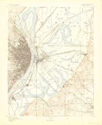
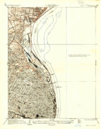
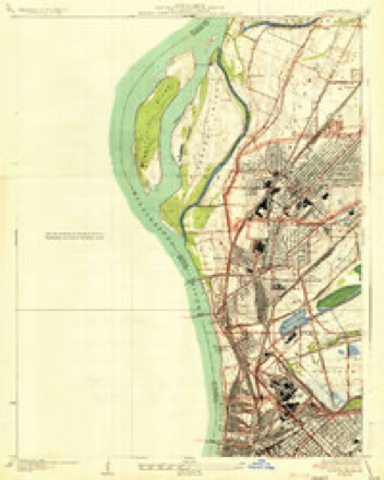
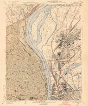
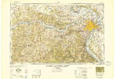
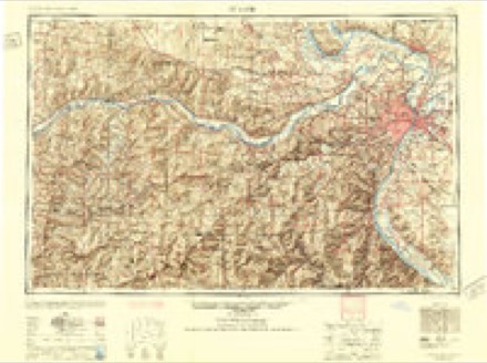
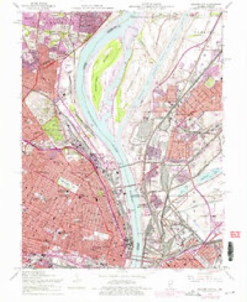
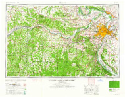
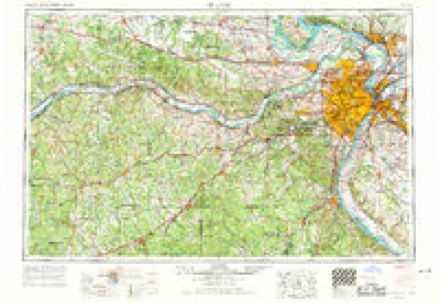
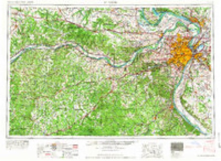
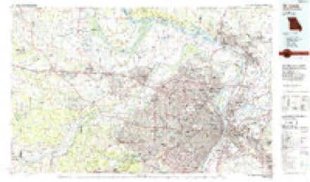
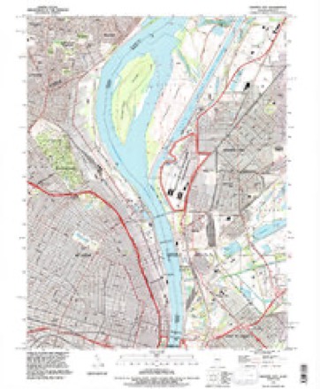
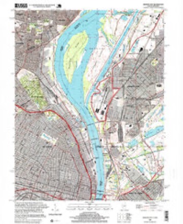
28 topographic sheets cover this place, the earliest surveyed in 1888 and the latest in 1998. It stands in Nameoki Township. It lies in ZIP code area 62060. The Survey maps it on the Granite City quadrangle.
Topographic sheets covering this place
13 surveys from 28 printed sheetsMatched by testing this settlement's coordinate against the published boundary of every sheet in the United States Geological Survey's historical collection. Each opens the scanned sheet at the Survey.
- 1888 USGS St. Louis quadrangle1:62500
- 1933 USGS Granite City quadrangle1:24000, 2 printings
- 1935 USGS Granite City quadrangle1:24000, 2 printings
- 1940 USGS Granite City quadrangle1:24000, 4 printings
- 1949 USGS Saint Louis quadrangle1:250000
- 1949 USGS St. Louis quadrangle1:250000
- 1954 USGS Granite City quadrangle1:24000, 6 printings
- 1962 USGS St. Louis quadrangle1:250000
- 1963 USGS St. Louis quadrangle1:250000, 4 printings
- 1966 USGS St. Louis quadrangle1:250000
- 1985 USGS St Louis quadrangle1:100000, 3 printings
- 1993 USGS Granite City quadrangle1:24000
- 1998 USGS Granite City quadrangle1:24000
In the county-history sources
1,137 words on this townshipHistory of Madison County, Illinois ... With Biographical Sketches .., published 1882 has no passage naming this settlement, which was common for smaller places. Its township is covered in full.
The chapter on Nameoki Township covers the township.
Read the chapter on Nameoki Township - 1,137 words.
Fires near this place
7 since 2009Regional context, not property-specific evidence. The federal wildfire occurrence database lists 7 fires within 5 miles of Eagle Park between 2009 and 2014, burning about 5 acres in total. None started naturally. 2 were recorded as arson. Distance is straight-line from the map coordinates, so a fire counted here may appear on a neighbouring settlement's page as well.
| Reported cause | Fires |
|---|---|
| Missing data/not specified/undetermined | 3 |
| Arson/incendiarism | 2 |
| Smoking | 2 |
The most recent of them, most recent first, with the day each was reported and the service that recorded it.
| Date | Cause | Size | Reported by | Name on the report |
|---|---|---|---|---|
| 24 March 2014 | Smoking | 1.0 acres | Illinois Division of Forestry Resources | CBHALWACHS |
| 21 March 2014 | Arson/incendiarism | 1.0 acres | Illinois Division of Forestry Resources | BHALWACHS |
| 19 March 2014 | Arson/incendiarism | 1.0 acres | Illinois Division of Forestry Resources | HALWACHS |
| 13 March 2009 | Missing data/not specified/undetermined | 2.0 acres | Illinois Division of Forestry Resources | GREEN |
| 5 December 2009 | Smoking | under an acre | Illinois Division of Forestry Resources | I64 M9.5 |
| 17 December 2011 | Missing data/not specified/undetermined | under an acre | Illinois Division of Forestry Resources | 79TH |
| 9 November 2010 | Missing data/not specified/undetermined | under an acre | Illinois Division of Forestry Resources | FOREST |
Settlements close enough to share some of these fires:
Mines and quarries near this place
10 of 23 shownRegional context, not property-specific evidence. The federal mineral resources record lists 23 workings within 5 miles of Eagle Park: 18 past producers, 2 plants, 2 producers, 1 prospect. 4 still produce. What was taken out: Stone, Crushed/Broken, Copper, Zinc, Refiner, Sulfur, Sulfuric Acid. Distance is straight-line from the map coordinates, so a quarry counted here may appear on a neighbouring settlement's page as well.
| Where | Site | Commodity | Status | Recorded |
|---|---|---|---|---|
| (Facility) Cerro Copper Sauget Smelter | Copper | Plant | ||
| (Facility) Sauget Zinc Refinery | Zinc, Refiner, Sulfur, Sulfuric Acid | Plant | ||
| Dredge & Mill #2 | Sand and Gravel, Construction | Past Producer | ||
| Hypothetical Lead Mine | Lead, Silver, Zinc, Cobalt, Copper, Nickel, Cadmium | Prospect | Underground | |
| Madison Plant | Thorium | Producer | ||
| Pfizer Inc. Mineral Pigments | Iron | Producer | ||
| Bambrick-Bates Constr. Co. Quarry 3 | Stone, Crushed/Broken | Past Producer | ||
| Bowdirns Quarry | Stone, Crushed/Broken | Past Producer | ||
| Carlins Quarry | Stone, Crushed/Broken | Past Producer | ||
| Cavanaugh Quarry | Stone, Crushed/Broken | Past Producer |
Storms near this place
3 since 2017Regional context, not property-specific evidence. The National Weather Service names Eagle Park in 3 storm reports between 2017 and 2024: 2 hail, 1 flash flood. No death or injury is recorded in these reports. Each account below is quoted exactly as the forecast office filed it, from the NOAA Storm Events Database, and each date opens the federal record of that event.
| When | Event | Place named | Harm | What the report says |
|---|---|---|---|---|
| March 2024 | Hail | Eagle Park | - | Widespread very large hail fell across Madison County from southwest to northeast. The largest stones were between 2 inches and 3.75 inches. The largest stones were reported in Edwardsville, Hamel, Worden and Livingston. Large hail was also reported in Granite City, Collinsville, Pontoon Beach, Poag, Mitchell, Roxana, Glen Carbon, Maryville, Troy, Marine, and Kuhn. Dozens of cars were damaged in the Livingston area on I-55 from the large hail. |
| August 2019 | Flash Flood | Eagle Park | - | Up to 9 inches of rain fell over a 6 hour period, causing flash flooding, especially in the Granite City area where the heaviest rain fell. Numerous cars were abandoned due to street flooding over a large portion of Granite City. The flooding caused damage to more than 1,000 homes in the city, as well as numerous businesses. Granite City High School sustained damage due to the flash flooding and the beginning of the school year had to be delayed for a couple of weeks while cleanup and repairs were made to the school. In Godfrey, 6 to 8 inches of water was covering the road at the intersection of Enos and Pierce Lanes. In Alhambra, two feet of water was covering IL Route 140 near Alhambra Fireman and Legion Park. In Alton, one foot of water was over the road at the intersection of W. Elm Street and Virden Street. |
| November 2017 | Hail | Eagle Park | - | A wide swath of large hail fell across Madison County from Venice to St. Jacob. The largest hailstones were reported in the Collinsville area, three inches in diameter. Two and a half inch diameter hail was reported one mile south of Troy. Hail one inch or larger was reported in Venice, Collinsville, Troy and St. Jacob areas. |
Nearest settlements
The eight closest, with where each one stands in the county. Distances are straight-line, computed from the Geographic Names Information System coordinates.
| Map | Place | Distance | Sheets |
|---|---|---|---|
| Madison Station | 0.8 miles | 28 | |
| Madison | 1.5 miles | 28 | |
| Venice | 1.6 miles | 28 | |
| North Venice | 1.7 miles | 28 | |
| Newport | 2.1 miles | 28 | |
| Granite City | 2.6 miles | 28 | |
| Moellenbrocks | 4.7 miles | 21 | |
| Nameoki | 4.7 miles | 28 |
Provenance
This settlement is recorded in the Geographic Names Information System as feature 1736027. The sheet list is computed by point-in-boundary test against the United States Geological Survey's historical topographic inventory. Both are works of the United States government and carry no copyright under 17 U.S.C. 105.
Wildfire. Short, Karen C. 2022. Spatial wildfire occurrence data for the United States, 1992-2020 [FPA_FOD_20221014]. 6th Edition. Fort Collins, CO: Forest Service Research Data Archive. https://doi.org/10.2737/RDS-2013-0009.6 Collected with United States Government funding and usable without additional permissions or fees.
Mines and quarries. USGS Mineral Resources Data System (MRDS) https://mrdata.usgs.gov/mrds/ A work of the United States government, no copyright under 17 U.S.C. 105.
Storms. NOAA National Centers for Environmental Information, Storm Events Database https://www.ncei.noaa.gov/stormevents/ A work of the United States government, no copyright under 17 U.S.C. 105. Narratives are quoted verbatim from the National Weather Service report and are not edited or summarised.