 Block
Newport, Illinois
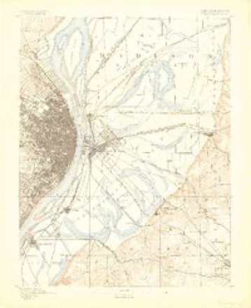
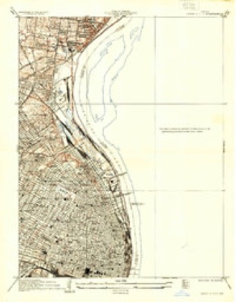
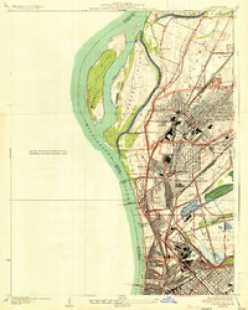
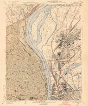
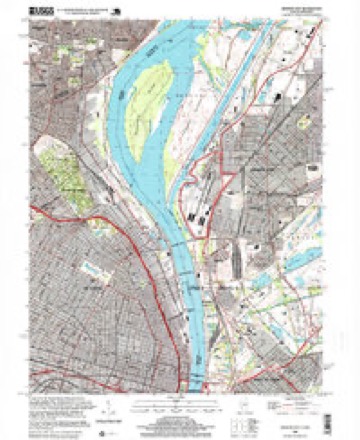
28 topographic sheets cover this place, the earliest surveyed in 1888 and the latest in 1998. It stands in Venice Township. It lies in ZIP code area 62040. It lies near Kerr Island. The Survey maps it on the Granite City quadrangle.
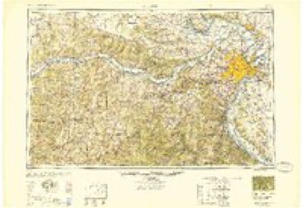
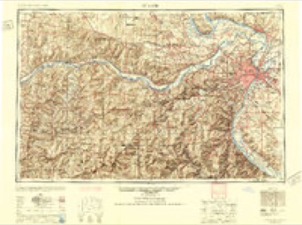
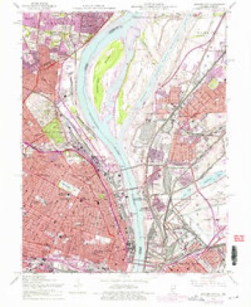
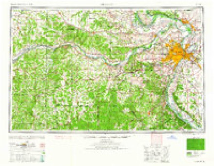
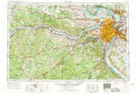
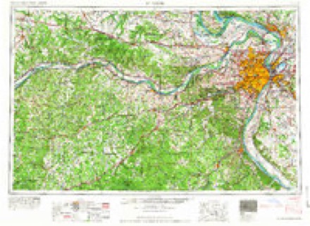
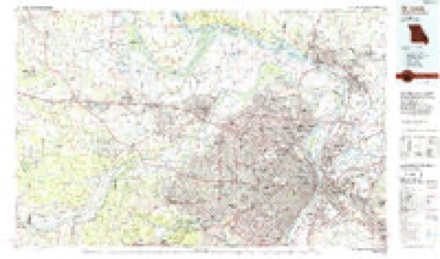
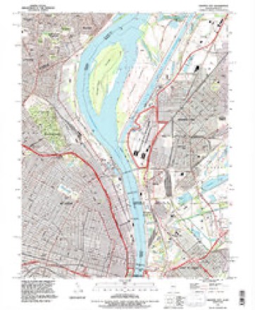
Topographic sheets covering this place
13 surveys from 28 printed sheetsMatched by testing this settlement's coordinate against the published boundary of every sheet in the United States Geological Survey's historical collection. Each opens the scanned sheet at the Survey.
- 1888 USGS St. Louis quadrangle1:62500
- 1933 USGS Granite City quadrangle1:24000, 2 printings
- 1935 USGS Granite City quadrangle1:24000, 2 printings
- 1940 USGS Granite City quadrangle1:24000, 4 printings
- 1949 USGS Saint Louis quadrangle1:250000
- 1949 USGS St. Louis quadrangle1:250000
- 1954 USGS Granite City quadrangle1:24000, 6 printings
- 1962 USGS St. Louis quadrangle1:250000
- 1963 USGS St. Louis quadrangle1:250000, 4 printings
- 1966 USGS St. Louis quadrangle1:250000
- 1985 USGS St Louis quadrangle1:100000, 3 printings
- 1993 USGS Granite City quadrangle1:24000
- 1998 USGS Granite City quadrangle1:24000
In the county-history sources
968 words on this townshipHistory of Madison County, Illinois ... With Biographical Sketches .., published 1882 names this settlement in its chapter on Venice Township. These are the passages that mention it, exactly as the scans read.
The town of Newport was laid oS' by I. W. Blackman, of St. Louis, Mo , and plat recorded April 27, 1858. It is situated on Survey 604, Claim 637, or, more properly. Section 26. It has never attracted any particular attention, and consists of a few dwelling-houses only. On Section 24 is the station of Kinder, near which, on S. E It Sect. 13, is a neat church building, now occupied by the Gsrman Lutherans as church and school-house. It was erected at first as a school building by special legislation, obtained through the efforts of Calvin Kinder and others. For a time it was used as intended, for school purposes and church without regard to sect, but passed from such control into the hands of the present management. It is a brick building, two stories high. Since the inauguration of township organization in 1876, Theodore Selb has uninterruptedly represented this township in the county Board of Supervisors The population of the township in ISSO was 1120.
Passage source: History of Madison County, Illinois ... With Biographical Sketches .., published 1882.
Machine-read from a century-old scan, so expect the errors a machine makes: misspelled names, dropped words, stray characters.
Fires near this place
2 since 2006Regional context, not property-specific evidence. The federal wildfire occurrence database lists 2 fires within 5 miles of Newport between 2006 and 2011, burning under an acre in total. None started naturally. None was recorded as arson. Distance is straight-line from the map coordinates, so a fire counted here may appear on a neighbouring settlement's page as well.
| Reported cause | Fires |
|---|---|
| Missing data/not specified/undetermined | 2 |
The most recent of them, most recent first, with the day each was reported and the service that recorded it.
| Date | Cause | Size | Reported by | Name on the report |
|---|---|---|---|---|
| 27 February 2006 | Missing data/not specified/undetermined | under an acre | Missouri State Fire Marshal's Office | not named |
| 17 December 2011 | Missing data/not specified/undetermined | under an acre | Illinois Division of Forestry Resources | 79TH |
Settlements close enough to share some of these fires:
Mines and quarries near this place
10 of 34 shownRegional context, not property-specific evidence. The federal mineral resources record lists 34 workings within 5 miles of Newport: 29 past producers, 3 producers, 1 plant, 1 prospect. 4 still produce. What was taken out: Stone, Crushed/Broken, Clay, Stone, Crushed/Broken, Zinc, Refiner, Sulfur, Sulfuric Acid. Distance is straight-line from the map coordinates, so a quarry counted here may appear on a neighbouring settlement's page as well.
| Where | Site | Commodity | Status | Recorded |
|---|---|---|---|---|
| (Facility) Sauget Zinc Refinery | Zinc, Refiner, Sulfur, Sulfuric Acid | Plant | ||
| Bambrick-Bates Constr. Co. Quarry 1 | Clay, Stone, Crushed/Broken | Past Producer | ||
| Hypothetical Lead Mine | Lead, Silver, Zinc, Cobalt, Copper, Nickel, Cadmium | Prospect | Underground | |
| Madison Plant | Thorium | Producer | ||
| Pfizer Inc. Mineral Pigments | Iron | Producer | ||
| Prospect Hill Cement Plant | Stone, Crushed/Broken, Clay | Producer | ||
| Bambrick-Bates Constr. Co Quarry 2 | Stone, Crushed/Broken | Past Producer | ||
| Bambrick-Bates Constr. Co. Quarry 3 | Stone, Crushed/Broken | Past Producer | ||
| Bowdirns Quarry | Stone, Crushed/Broken | Past Producer | ||
| Carl's Quarry | Stone, Crushed/Broken | Past Producer |
Nearest settlements
The eight closest, with where each one stands in the county. Distances are straight-line, computed from the Geographic Names Information System coordinates.
| Map | Place | Distance | Sheets |
|---|---|---|---|
| North Venice | 0.5 miles | 28 | |
| Venice | 0.7 miles | 28 | |
| Madison | 1.0 miles | 28 | |
| Madison Station | 1.6 miles | 28 | |
| Granite City | 2.0 miles | 28 | |
| Eagle Park | 2.1 miles | 28 | |
| Nameoki | 4.3 miles | 28 | |
| Maryland Place | 4.9 miles | 21 |
Provenance
This settlement is recorded in the Geographic Names Information System as feature 423022. The sheet list is computed by point-in-boundary test against the United States Geological Survey's historical topographic inventory. Both are works of the United States government and carry no copyright under 17 U.S.C. 105.
Wildfire. Short, Karen C. 2022. Spatial wildfire occurrence data for the United States, 1992-2020 [FPA_FOD_20221014]. 6th Edition. Fort Collins, CO: Forest Service Research Data Archive. https://doi.org/10.2737/RDS-2013-0009.6 Collected with United States Government funding and usable without additional permissions or fees.
Mines and quarries. USGS Mineral Resources Data System (MRDS) https://mrdata.usgs.gov/mrds/ A work of the United States government, no copyright under 17 U.S.C. 105.