 Block
Eagle Point, Illinois
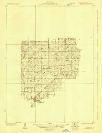
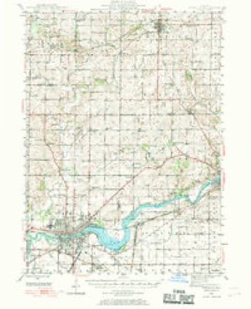
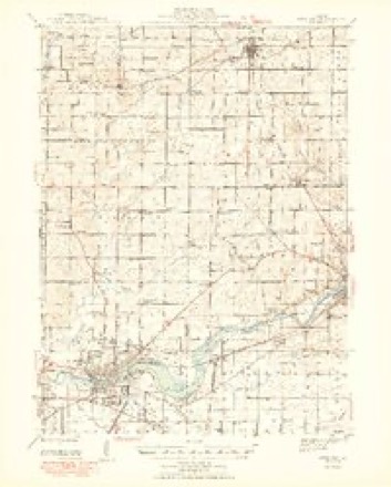
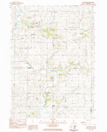
11 topographic sheets cover this place, the earliest surveyed in 1930 and the latest in 1985. It stands in Eagle Point Township. It lies in ZIP code area 61064. The Survey maps it on the Hazelhurst quadrangle.
Topographic sheets covering this place
7 surveys from 11 printed sheetsMatched by testing this settlement's coordinate against the published boundary of every sheet in the United States Geological Survey's historical collection. Each opens the scanned sheet at the Survey.
- 1930 USGS Woodsung quadrangle1:48000
- 1946 USGS Sterling quadrangle1:62500
- 1948 USGS Sterling quadrangle1:62500, 2 printings
- 1958 USGS Aurora quadrangle1:250000, 3 printings
- 1961 USGS Aurora quadrangle1:250000
- 1983 USGS Hazelhurst quadrangle1:24000
- 1985 USGS Dixon quadrangle1:100000, 2 printings



In the county-history sources
7,878 words on this townshipSketches of the History of Ogle County, Ill., and the Early Settlement of the Northwest, published 1859 names this settlement in its chapter on Eagle Point Township. These are the passages that mention it, exactly as the scans read.
About the 18th of June, a lot of horses had been stolen from Apple River Fort by the Indians, and Capt. James W. Stephenson, in honor of whom our sister county is named, started in pursuit of them. He surrounded them in a small thicket standing in the midst of a prairie, and made three successive charges upon
Passage source: Sketches of the History of Ogle County, Ill., and the Early Settlement of the Northwest, published 1859.
The Indians now held control of the country. Their war parties prowled about every white man's cauap from Galena to Chicago, and from the Illinoia river to the boundary of Wisconsin. They attacked every white man they came across, and, flushed with their victory, they were prepared for deeper and broader operations. Rut the position of matters soon changed. On the 20th, 21st and 22d of June, Gen. Atkinson took command of the forces assembled on the Illinois River, and put them in motion. Major Dement, with a battalion of spies, pushed forwar 1 and took position at Kellogg's Grove, in the heart of the Indian country. Hearing, on the 20th of June, that the trail of five hundred Indians leading to the south had been seen within a few miles the day before, Major Dement ordered his whole command to be in readiness, while he with twenty mtn started to gain intelligence of their movements. They had gone but a short distance when they discovered seven Indian spies. Followed soon after by some of the men from the camp, he formed about twenty-five of them in line to protect the retreat of those in pursuit. This had hardly been done when three hundred Indians came out to attack them. Seeing himself in great danger of beingsurrounded, the major slowly retired to his camp, closely followed by the savages. I The whole party now took possession of I same log houses, which served them for a fort, where they were vigorously attacked for nearly an hour, when the Indians retreated, leaving nine men dead on t .e field, and probably five others carried away. The whites had five men killed and three wounded. An express had been sent to Gen. Posey, who arrived with his brigade about two hours after the Indians had gone.
Passage source: Sketches of the History of Ogle County, Ill., and the Early Settlement of the Northwest, published 1859.
When the news of this action reached Dixon, where all the forces under Gen. iitkinson were asseuibled, Alexander's brigade was ordered in the direction of Plum river, to intercept the Indians if they attempted to escape by re-crossiug the river. Gen. Atkinson, after waiting for two days at Dixon, marched up Rock River, accouinanied by Gen. Henry's brigade. Col. Fry and his regiment were sent forward to meet some friendly Pottawatomies.
Passage source: Sketches of the History of Ogle County, Ill., and the Early Settlement of the Northwest, published 1859.
Machine-read from a century-old scan, so expect the errors a machine makes: misspelled names, dropped words, stray characters.
Read the whole chapter on Eagle Point Township - it names this place 1 more 1 time.
Mines and quarries near this place
8 within 5 milesRegional context, not property-specific evidence. The federal mineral resources record lists 8 workings within 5 miles of Eagle Point: 6 past producers, 2 producers. 2 still produce. What was taken out: Stone, Crushed/Broken. Distance is straight-line from the map coordinates, so a quarry counted here may appear on a neighbouring settlement's page as well.
| Where | Site | Commodity | Status | Recorded |
|---|---|---|---|---|
| Eller Quarry | Stone, Crushed/Broken | Producer | ||
| Graehling Quarry | Stone, Crushed/Broken | Past Producer | ||
| Reid Quarry | Stone, Crushed/Broken | Producer | ||
| Russels Quarry | Stone, Crushed/Broken | Past Producer | ||
| Shank Quarry | Stone, Crushed/Broken | Past Producer | ||
| Unnamed Limestone Quarry | Stone, Crushed/Broken | Past Producer | ||
| Unnamed Limestone Quarry | Stone, Crushed/Broken | Past Producer | ||
| Unnamed Limestone Quarry | Stone, Crushed/Broken | Past Producer |
Nearest settlements
The eight closest, with where each one stands in the county. Distances are straight-line, computed from the Geographic Names Information System coordinates.
| Map | Place | Distance | Sheets |
|---|---|---|---|
| Brookville | 3.8 miles | 14 | |
| Buffalo Grove | 4.8 miles | 11 | |
| Polo | 5.6 miles | 11 | |
| Haldane | 7.6 miles | 14 | |
| Maryland | 8.8 miles | 14 | |
| Woosung | 9.8 miles | 11 | |
| Stratford | 10.3 miles | 12 | |
| Harper | 10.4 miles | 14 |
Provenance
This settlement is recorded in the Geographic Names Information System as feature 407575. The sheet list is computed by point-in-boundary test against the United States Geological Survey's historical topographic inventory. Both are works of the United States government and carry no copyright under 17 U.S.C. 105.
Mines and quarries. USGS Mineral Resources Data System (MRDS) https://mrdata.usgs.gov/mrds/ A work of the United States government, no copyright under 17 U.S.C. 105.