 Block
Maryland, Illinois
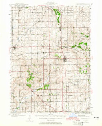
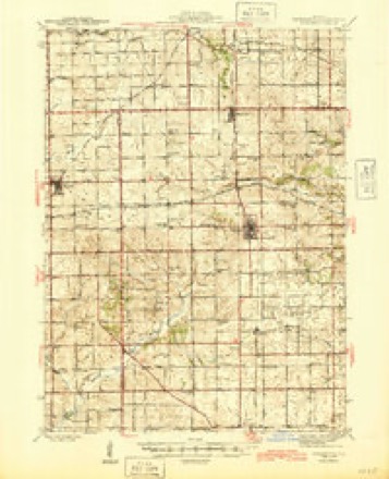
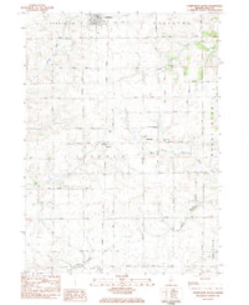
14 topographic sheets cover this place, the earliest surveyed in 1942 and the latest in 1983. It stands in Lincoln Township. It lies in ZIP code area 61064. The Survey maps it on the Forreston South quadrangle.
Topographic sheets covering this place
8 surveys from 14 printed sheetsMatched by testing this settlement's coordinate against the published boundary of every sheet in the United States Geological Survey's historical collection. Each opens the scanned sheet at the Survey.
- 1942 USGS Forreston quadrangle1:62500, 2 printings
- 1945 USGS Forreston quadrangle1:62500, 2 printings
- 1954 USGS Rockford quadrangle1:250000
- 1955 USGS Rockford quadrangle1:250000
- 1958 USGS Rockford quadrangle1:250000, 4 printings
- 1963 USGS Rockford quadrangle1:250000
- 1981 USGS Rockford quadrangle1:100000, 2 printings
- 1983 USGS Forreston South quadrangle1:24000





In the county-history sources
4,932 words on this townshipThe History of Ogle County, Illinois, Containing a History of the County, Its Cities, Towns, Etc., a Biographical Directory of Its Citizens, War Record of Its Volunteers in the Late Rebellion, General and Local Statistics ... History of the Northwest, History of Illinois ... Etc, published 1878 names this settlement in its chapter on Lincoln Township. These are the passages that mention it, exactly as the scans read.
BRAJTTXER MICHAEI., Farmer and Stock Raiser ; Sec. 24 ; P. O. Maryland ; born in Boonsboro, Md., Aug. 24, 1816; came to this Co., Oct. 5, 1839; owns 194 acres land, valued at $11,640; is a Republican; belongs to the IJuited Brethren Church ; when he first came to the Co. had only 37>^ cents in his pocket; worked by the month for Mr. Coftman; made his furniture and tables from store boxes, and bedsteads from poles cut in the woods ; also made the shingles to cover his house ; has hauled grain to Chicago ; made the trip in 13 days ; rained 12 days out of the 13; married Mary Ann Phillips in 1845; have seven children living: IJrias, born Aug. 14, 1847 ; Samuel, May 18, 1849 ; John, Aug 12, 1851 ; Joseph, Nov. 4, 1853 ; Jacob, Aug. 9, 1858; Alma, Jan. 14. 1861 ; Charles, Feb. 4, 1867.
Passage source: The History of Ogle County, Illinois, Containing a History of the County, Its Cities, Towns, Etc., a Biographical Directory of Its Citizens, War Record of Its Volunteers in the Late Rebellion, General and Local Statistics ... History of the Northwest, History of Illinois ... Etc, published 1878.
EICHHOL.TZ S. Farmer and Stock Raiser; P. O. Haldane; born in Blair Co., Pa., Jan. 18, 1837; came to this Co. in Spring, 1856; Democrat; belongs to the Lutheran Church ; held the office of Alderman two terms in Polo ; married Jennie Updegraff in Fall 1865; born in Northumberland Co., May 9, 1841 ; has three children : Harry St. Almond, born Aug. 24, 1866, Levi Benton, Aug. 16, 1868, Idelette Pearl. April 21, 1875 ; he enlisted Sept. 18, 1862, in 92d I. V. I.; belonged to Kilpatrick's command ; was with Sherman on his march through Georgia; was in battles of Trienne, Chattanooga, Mission Ridge, Ringgold, Resaca, Atlanta and Brownsville ; was wounded in battle, at Atlanta, in the shoulder; also, at Bentonville, in the hip; his father, Henry Eichholtz, came from Blair Co., Pa., in 1856; owned 323 acres, valued at $20,000 ; Mr. C. S. Eichholtz is now in Wichita, Sedgwick Co., Kausaa.
Passage source: The History of Ogle County, Illinois, Containing a History of the County, Its Cities, Towns, Etc., a Biographical Directory of Its Citizens, War Record of Its Volunteers in the Late Rebellion, General and Local Statistics ... History of the Northwest, History of Illinois ... Etc, published 1878.
EVERSOIiE DANIEIi, Parmer and Stock Raiser; Sec. 28; P. O. Maryland; was born in Berkley Co., Va., April 19, 1829 ; came to this Co. May 20, 1846 ; has 229 acres land, valued at $15,000; Democrat ; married Catherine Rouser in 1858 ; she was born in Washington Co., Md., Nov. 30, 1830 ; have six children ; Douglas, born Aug. 3, 1860, Garibaldi, Sept. 24, 1861, Daniel, Feb. 9, 1863, Ivey, Feb. 6, 1865, Annie, April 3, 1867, Minerva. Oct. 16, 1874; Seymour, born Jan. 24, 1869, died Aug. 1, 1869; he worked by the month and day for nine years, got some money together, and bought some land at Chambers' Grove; improved a farm and sold it for $45 per acre ; from there came to the place where now lives; the first work he did was making brick ; got $12 per month ; has hauled wheat to Peru, \)n the Illinois River, and got forty to fifty cents; fifteen to twenty cents for oats; when he first came here there was not a house between North Grove, in this Co., and Cherry Grove, in* Carroll Co., about twenty-five miles.
Passage source: The History of Ogle County, Illinois, Containing a History of the County, Its Cities, Towns, Etc., a Biographical Directory of Its Citizens, War Record of Its Volunteers in the Late Rebellion, General and Local Statistics ... History of the Northwest, History of Illinois ... Etc, published 1878.
Machine-read from a century-old scan, so expect the errors a machine makes: misspelled names, dropped words, stray characters.
Read the whole chapter on Lincoln Township - it names this place 7 more 7 times.
Fires near this place
2 since 2009Regional context, not property-specific evidence. The federal wildfire occurrence database lists 2 fires within 5 miles of Maryland between 2009 and 2014, burning about 37 acres in total. None started naturally. None was recorded as arson. Distance is straight-line from the map coordinates, so a fire counted here may appear on a neighbouring settlement's page as well.
| Reported cause | Fires |
|---|---|
| Missing data/not specified/undetermined | 1 |
| Fireworks | 1 |
The most recent of them, most recent first, with the day each was reported and the service that recorded it.
| Date | Cause | Size | Reported by | Name on the report |
|---|---|---|---|---|
| 19 April 2014 | Fireworks | under an acre | Illinois Division of Forestry Resources | HOUGH1 |
| 11 April 2009 | Missing data/not specified/undetermined | 36 acres | Illinois Division of Forestry Resources | PIEPER |
Settlements close enough to share some of these fires:
Mines and quarries near this place
10 within 5 milesRegional context, not property-specific evidence. The federal mineral resources record lists 10 workings within 5 miles of Maryland: 10 past producers. None of them still produces. What was taken out: Stone, Crushed/Broken. Distance is straight-line from the map coordinates, so a quarry counted here may appear on a neighbouring settlement's page as well.
| Where | Site | Commodity | Status | Recorded |
|---|---|---|---|---|
| Ed Schnulle Quarry | Stone, Crushed/Broken | Past Producer | ||
| Mt. Morris Limestone Quarry | Stone, Crushed/Broken | Past Producer | ||
| Oregon Construction Co. Quarry | Stone, Crushed/Broken | Past Producer | ||
| Pieper Quarry | Stone, Crushed/Broken | Past Producer | ||
| Seifken Quarry | Stone, Crushed/Broken | Past Producer | ||
| Sheely No. 2 Quarry | Stone, Crushed/Broken | Past Producer | ||
| Swalve Quarry | Stone, Crushed/Broken | Past Producer | ||
| Unnamed Limestone Quarry | Stone, Crushed/Broken | Past Producer | ||
| Unnamed Limestone Quarry | Stone, Crushed/Broken | Past Producer | ||
| Unnamed Ls Quarry | Stone, Crushed/Broken | Past Producer |
Nearest settlements
The eight closest, with where each one stands in the county. Distances are straight-line, computed from the Geographic Names Information System coordinates.
| Map | Place | Distance | Sheets |
|---|---|---|---|
| Haldane | 1.4 miles | 14 | |
| Forreston | 4.5 miles | 14 | |
| Stratford | 5.6 miles | 12 | |
| Polo | 5.7 miles | 11 | |
| Adeline | 6.2 miles | 14 | |
| Mount Morris | 6.2 miles | 14 | |
| Buffalo Grove | 6.4 miles | 11 | |
| Brookville | 7.3 miles | 14 |
Provenance
This settlement is recorded in the Geographic Names Information System as feature 413085. The sheet list is computed by point-in-boundary test against the United States Geological Survey's historical topographic inventory. Both are works of the United States government and carry no copyright under 17 U.S.C. 105.
Wildfire. Short, Karen C. 2022. Spatial wildfire occurrence data for the United States, 1992-2020 [FPA_FOD_20221014]. 6th Edition. Fort Collins, CO: Forest Service Research Data Archive. https://doi.org/10.2737/RDS-2013-0009.6 Collected with United States Government funding and usable without additional permissions or fees.
Mines and quarries. USGS Mineral Resources Data System (MRDS) https://mrdata.usgs.gov/mrds/ A work of the United States government, no copyright under 17 U.S.C. 105.