 Block
Elbridge, Illinois
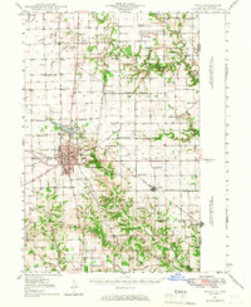
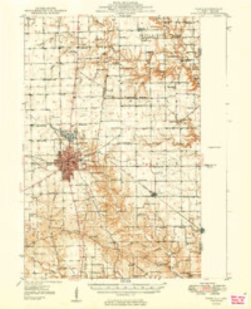
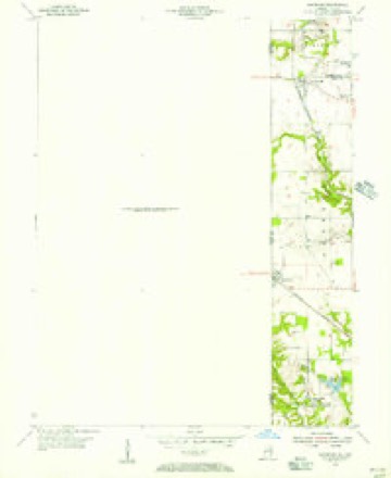
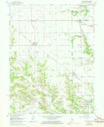
18 topographic sheets cover this place, the earliest surveyed in 1947 and the latest in 1998. It stands in Elbridge Township. It lies in ZIP code area 61944. It stands on Indian Creek. The Survey maps it on the Sandford quadrangle.
Topographic sheets covering this place
10 surveys from 18 printed sheetsMatched by testing this settlement's coordinate against the published boundary of every sheet in the United States Geological Survey's historical collection. Each opens the scanned sheet at the Survey.
- 1947 USGS Paris quadrangle1:62500
- 1949 USGS Paris quadrangle1:62500, 2 printings
- 1950 USGS Sandford quadrangle1:24000
- 1953 USGS Indianapolis quadrangle1:250000, 4 printings
- 1956 USGS Indianapolis quadrangle1:250000
- 1957 USGS Indianapolis quadrangle1:250000, 2 printings
- 1962 USGS Indianapolis quadrangle1:250000
- 1966 USGS Sandford quadrangle1:24000, 3 printings
- 1986 USGS Paris quadrangle1:100000, 2 printings
- 1998 USGS Sandford quadrangle1:24000




In the county-history sources
17,476 words on this townshipThe History of Edgar County, Illinois, Containing a History of the County--its Cities, Towns, &c. : Directory of Its Tax-payers; War Records of Its Volunteers in the Late Rebellion Portraits of Early Settlers and Prominent Men; General and Local Statistics; Map of Edgar County; History of Illinois, Illustrated; History of the Northwest, Illustrated; Constitution of the United States, Miscellaneous Matters, &c., &c. Illustrated, published 1879 names this settlement in its chapter on Elbridge Township. These are the passages that mention it, exactly as the scans read.
The reader can readily trace the outlines of this township on any map. He will also observe that the outlines of Pike are almost synonymous with the present outlines of Elbridge Township. It gave to it an arm running from the north line of Section 27 nearly three miles long, and in no place exceeding one-half mile in width. The township remained in this form some time. Its oddness and inconvenience, however, became manifest as the country settled, and the " arm " was taken off, the part above- the north line being attached to Stratton, or, as it , was formerly known, Wayne Township. Pike Township was also enlarged by attaching one tier of sections to the north, thereby giving it its present dimensions.
It is now seven sections long by six wide, hence contains forty-two sections or square miles, equal to 26,880 acres. The surface of the country is somewhat diversified. Along the water-courses it is broken and hilly, while on the uplands the surface becomes undulating. There are no natural prairies in this township of any size, hence the entire surface is devoid of that even exterior seen in prairie countries. Formerly the township was covered with a magnificent growth of native forest-trees, prominent among which the oak in several varieties, hickory, walnut, beech, sugar-tree, elm and other kinds flourished. Interspersed among these grew a great number of small trees of the same and different varieties, which, with their more powerful fellows, were ruthlessly cut down by the pioneer in the establishment of his home. Many grand old forest-trees were felled to the earth by his powerful arm and keen ax - trees which, could they be produced now, would yield him a handsome revenue. Yet they stood in the way of progress, and, as there were no mills or manufactories to use them, they were consigned to the log-heap and destroyed. Grand, sound walnuts, of a cent¬ ury's growth, so large that when felled an ordinary man could not see over them in a direct line from his eve were cut down, sawn into lengths so thev could be handled, and rolled to the log-heap to meet the fate of others equally as sound and large, though of n different kind. Such trees as these - whole forests of them - stood on the hills, along the streams and in the valleys in what is now Elbridge Township when first the white man made his home here. Here had they stood for ages. Under their outspreading branches had the Indian lover wooed and won his dusky mate ; had he pitched his wigwam home, reared his savage familv. and been at last laid away at rest among his ancestors. The savage beast, the fleeting deer, the heavy buffalo, the swift bird, the ravenous wolf had all lived here in undisturbed security, or been the delight of the native hunter in his exciting chase. The limpid waters of the streams had furnished him a rare feast, while in their depths he had bathed his limbs, or over their surface paddled his light canoe.
The first settlers in the present confines of Elbridge Township, located in the years 1818 or 1819. Just when, cannot now be definitely determined, nor can the name of the first settler be ascertained. Mr. Hall Sims, now over eighty years of age, came to this county in March, 1821, and settled near where he now lives. He states that when he arrived, there were living in what is now Elbridge Township, the following persons and their families : Thomas Y ilson, Alexander Ewing, John Hay, Thomas Eoster, Thomas Rhoades, James Eggleton. Dr. James Love, John Elliott and James Knight. There is yet standing an apple-tree planted by Mr. John Elliott, in 1820, which is now nine feet and four inches in circumference, five feet from the ground. It is in all probability the largest apple-tree in Edgar County. It is doubtful if a larger tree of its kind can be found in Illinois.
Machine-read from a century-old scan, so expect the errors a machine makes: misspelled names, dropped words, stray characters.
Read the whole chapter on Elbridge Township - it names this place 48 more 48 times.
Fires near this place
8 since 2002Regional context, not property-specific evidence. The federal wildfire occurrence database lists 8 fires within 5 miles of Elbridge between 2002 and 2007, burning about 21 acres in total. None started naturally. 1 was recorded as arson. Distance is straight-line from the map coordinates, so a fire counted here may appear on a neighbouring settlement's page as well.
| Reported cause | Fires |
|---|---|
| Missing data/not specified/undetermined | 4 |
| Equipment and vehicle use | 2 |
| Recreation and ceremony | 1 |
| Arson/incendiarism | 1 |
The most recent of them, most recent first, with the day each was reported and the service that recorded it.
| Date | Cause | Size | Reported by | Name on the report |
|---|---|---|---|---|
| 22 July 2003 | Equipment and vehicle use | under an acre | Indiana State Fire Marshal's Office | not named |
| 18 April 2004 | Missing data/not specified/undetermined | 2.0 acres | Indiana State Fire Marshal's Office | not named |
| 6 March 2002 | Missing data/not specified/undetermined | 1.0 acres | Indiana State Fire Marshal's Office | not named |
| 31 March 2003 | Missing data/not specified/undetermined | 2.0 acres | Indiana State Fire Marshal's Office | not named |
| 15 March 2005 | Recreation and ceremony | 10 acres | Indiana State Fire Marshal's Office | not named |
| 8 December 2002 | Arson/incendiarism | 1.0 acres | Indiana State Fire Marshal's Office | not named |
| 16 November 2007 | Equipment and vehicle use | 5.0 acres | Illinois Division of Forestry Resources | not named |
| 12 January 2003 | Missing data/not specified/undetermined | under an acre | Indiana State Fire Marshal's Office | not named |
Settlements close enough to share some of these fires:
Storms near this place
7 since 2017Regional context, not property-specific evidence. The National Weather Service names Elbridge in 7 storm reports between 2017 and 2024: 5 thunderstorm wind, 2 hail. No death or injury is recorded in these reports. Each account below is quoted exactly as the forecast office filed it, from the NOAA Storm Events Database, and each date opens the federal record of that event.
| When | Event | Place named | Harm | What the report says |
|---|---|---|---|---|
| June 2018 | Thunderstorm Wind | Elbridge | $20,000 | Numerous large tree limbs were blown down. |
| June 2024 | Thunderstorm Wind | Elbridge | - | Several trees were blown down. |
| July 2020 | Thunderstorm Wind | Elbridge | - | Several large tree limbs were blown down. |
| August 2020 | Thunderstorm Wind | Elbridge | - | Several large tree limbs were snapped. |
| March 2017 | Thunderstorm Wind | Elbridge | - | A large tree limb was blown down. |
| March 2024 | Hail | Elbridge | - | no account filed |
| April 2017 | Hail | Elbridge | - | no account filed |
Nearest settlements
The eight closest, with where each one stands in the county. Distances are straight-line, computed from the Geographic Names Information System coordinates.
Provenance
This settlement is recorded in the Geographic Names Information System as feature 407836. The sheet list is computed by point-in-boundary test against the United States Geological Survey's historical topographic inventory. Both are works of the United States government and carry no copyright under 17 U.S.C. 105.
Wildfire. Short, Karen C. 2022. Spatial wildfire occurrence data for the United States, 1992-2020 [FPA_FOD_20221014]. 6th Edition. Fort Collins, CO: Forest Service Research Data Archive. https://doi.org/10.2737/RDS-2013-0009.6 Collected with United States Government funding and usable without additional permissions or fees.
Storms. NOAA National Centers for Environmental Information, Storm Events Database https://www.ncei.noaa.gov/stormevents/ A work of the United States government, no copyright under 17 U.S.C. 105. Narratives are quoted verbatim from the National Weather Service report and are not edited or summarised.