 Block
Marley, Illinois
18 topographic sheets cover this place, the earliest surveyed in 1947 and the latest in 1998. It stands in Elbridge Township. It lies in ZIP code area 61944. The Survey maps it on the Sandford quadrangle.
Topographic sheets covering this place
10 surveys from 18 printed sheetsMatched by testing this settlement's coordinate against the published boundary of every sheet in the United States Geological Survey's historical collection. Each opens the scanned sheet at the Survey.
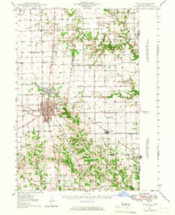
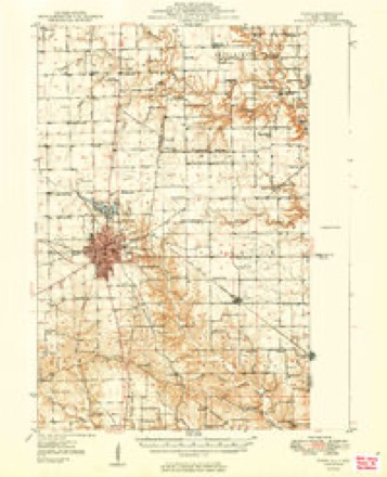
- 1947 USGS Paris quadrangle1:62500
- 1949 USGS Paris quadrangle1:62500, 2 printings
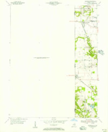
- 1950 USGS Sandford quadrangle1:24000
- 1953 USGS Indianapolis quadrangle1:250000, 4 printings
- 1956 USGS Indianapolis quadrangle1:250000
- 1957 USGS Indianapolis quadrangle1:250000, 2 printings
- 1962 USGS Indianapolis quadrangle1:250000
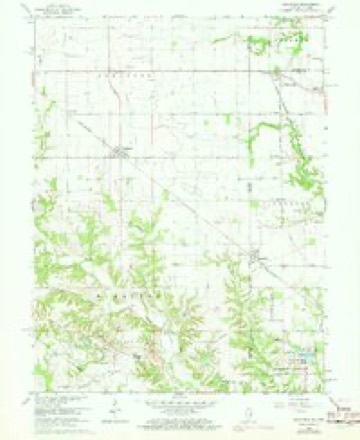
- 1966 USGS Sandford quadrangle1:24000, 3 printings
- 1986 USGS Paris quadrangle1:100000, 2 printings
- 1998 USGS Sandford quadrangle1:24000




In the county-history sources
17,476 words on this townshipThe History of Edgar County, Illinois, Containing a History of the County--its Cities, Towns, &c. : Directory of Its Tax-payers; War Records of Its Volunteers in the Late Rebellion Portraits of Early Settlers and Prominent Men; General and Local Statistics; Map of Edgar County; History of Illinois, Illustrated; History of the Northwest, Illustrated; Constitution of the United States, Miscellaneous Matters, &c., &c. Illustrated, published 1879 names this settlement in its chapter on Elbridge Township. These are the passages that mention it, exactly as the scans read.
As the village is new, the buildings have a fresh appearance, and, should / prosperous times prevail, it will grow to considerable proportions and command an excellent trade. A few miles north is a regular stopping-place for the trains, but no effort to start a village there has been attempted.
N. C. ; ten children ; two sons in the late war ; John W. enlisted as private in Co. F, 31st I. V. I. ; participated in some very prominent battles ; took sick and died at Vicksburg, after the surrender of the city ; George W. enlisted as private, 1864, in Co. A, 66th I. V. I. ; was with Sherman's march to the sea, through North and South Carolina, to Washington, D. C., on the grand review ; was honorably dis¬ charged at the close of war.
O. Nevins ; was born in Jasper Co., Ill., June 25, 1844, and is the son of W. D. Marley, who made his home in Edgar Co. in 1836 ; Mr. Marley was brought up on his father s farm, engaged in farming ; in 1845, his parents returned to Edgar Co. In 1864, Mr. Marley enlisted in Co. E, 66th I. V. I., and did good service in the late war ; was with. Gen. Sherman at Chat¬ tanooga, Tenn., and Sherman's march to the sea, through the swamps of the Carolinas. on to Richmond, at Washington, D. C., on the grand review ; was mustered out at close of war. returned to the farm, here he has been ever since. He married Miss Sue Middleton, who was born in Edgar Co., Ill., Nov. 26, 1848, and is the daugh¬ ter of J. and Sarah (Pemberton) Middleton. Her father was an early settler of Ed¬ gar Co., having come here when he was a boy ; he was born Sept. 12, 1813, and died April 27, 1874 ; her mother was born in Virginia Nov. 21, 1816, now living with Mrs. Marley. Have one child - Julia A., born in Edgar Co., Ill., May 5, 1870. Mr. Marley owns 225 acres of land.
Machine-read from a century-old scan, so expect the errors a machine makes: misspelled names, dropped words, stray characters.
Read the whole chapter on Elbridge Township - it names this place 9 more 9 times.
Fires near this place
1 since 2007Regional context, not property-specific evidence. The federal wildfire occurrence database lists 1 fire within 5 miles of Marley in 2007, burning about 5 acres in total. None started naturally. None was recorded as arson. Distance is straight-line from the map coordinates, so a fire counted here may appear on a neighbouring settlement's page as well.
| Reported cause | Fires |
|---|---|
| Equipment and vehicle use | 1 |
The most recent of them, most recent first, with the day each was reported and the service that recorded it.
| Date | Cause | Size | Reported by | Name on the report |
|---|---|---|---|---|
| 16 November 2007 | Equipment and vehicle use | 5.0 acres | Illinois Division of Forestry Resources | not named |
Settlements close enough to share some of these fires:
Nearest settlements
The eight closest, with where each one stands in the county. Distances are straight-line, computed from the Geographic Names Information System coordinates.
| Map | Place | Distance | Sheets |
|---|---|---|---|
| Elbridge | 1.7 miles | 18 | |
| Nevins | 1.9 miles | 15 | |
| Ferrel | 2.0 miles | 19 | |
| Oliver | 4.0 miles | 15 | |
| West Sandford | 4.8 miles | 18 | |
| Vermilion | 4.9 miles | 18 | |
| Kentucky | 5.6 miles | 18 | |
| Bell Ridge | 7.9 miles | 14 |
Provenance
This settlement is recorded in the Geographic Names Information System as feature 422942. The sheet list is computed by point-in-boundary test against the United States Geological Survey's historical topographic inventory. Both are works of the United States government and carry no copyright under 17 U.S.C. 105.
Wildfire. Short, Karen C. 2022. Spatial wildfire occurrence data for the United States, 1992-2020 [FPA_FOD_20221014]. 6th Edition. Fort Collins, CO: Forest Service Research Data Archive. https://doi.org/10.2737/RDS-2013-0009.6 Collected with United States Government funding and usable without additional permissions or fees.